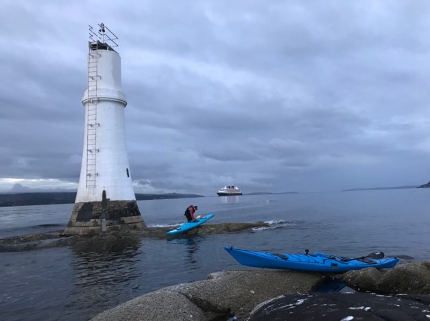
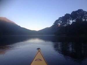
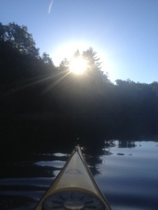
A 6am paddle to the Gantocks Lighthouse for sunrise. We were joined by the Disney cruise ship too 👍


A 6am paddle to the Gantocks Lighthouse for sunrise. We were joined by the Disney cruise ship too 👍
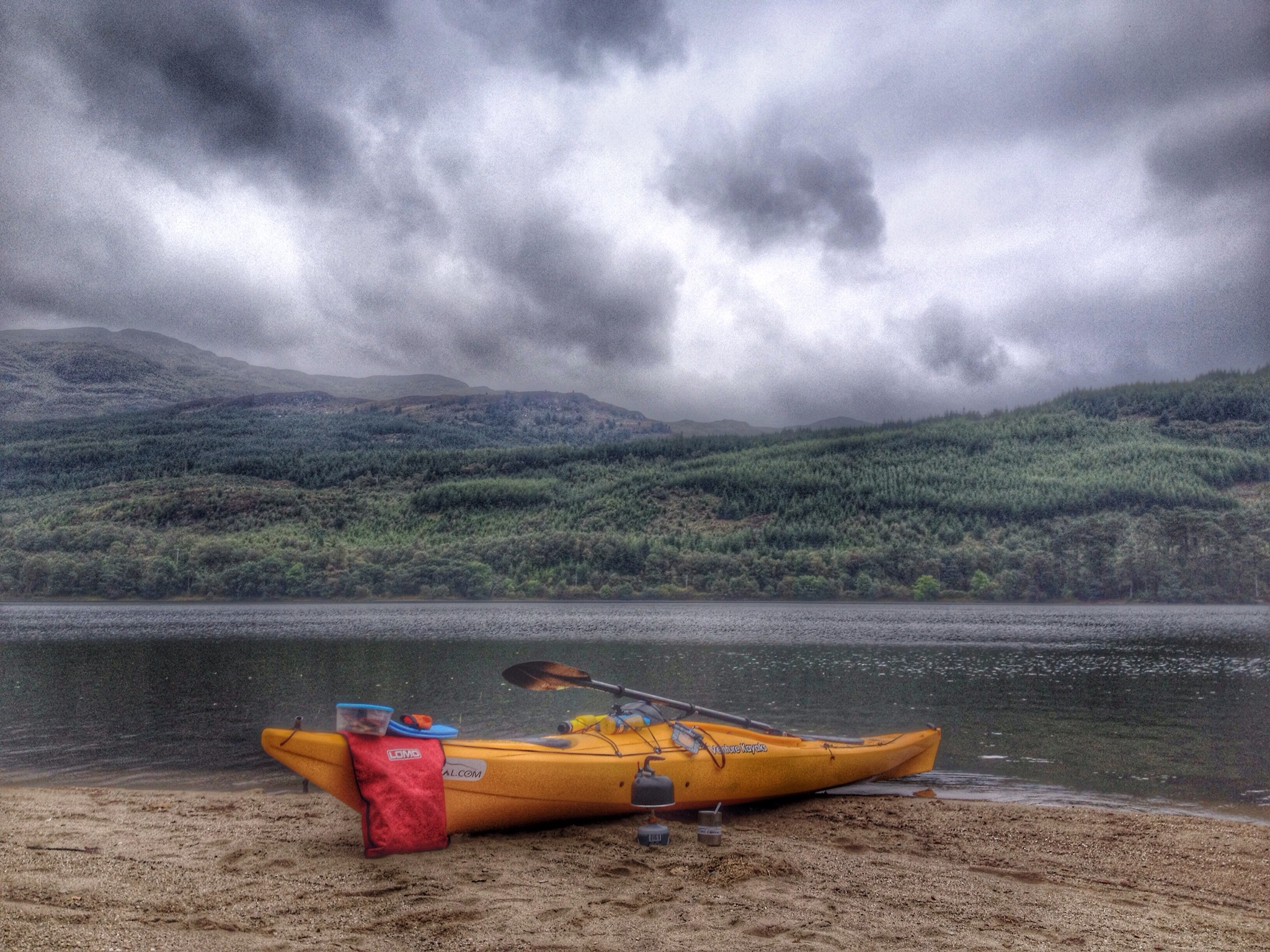
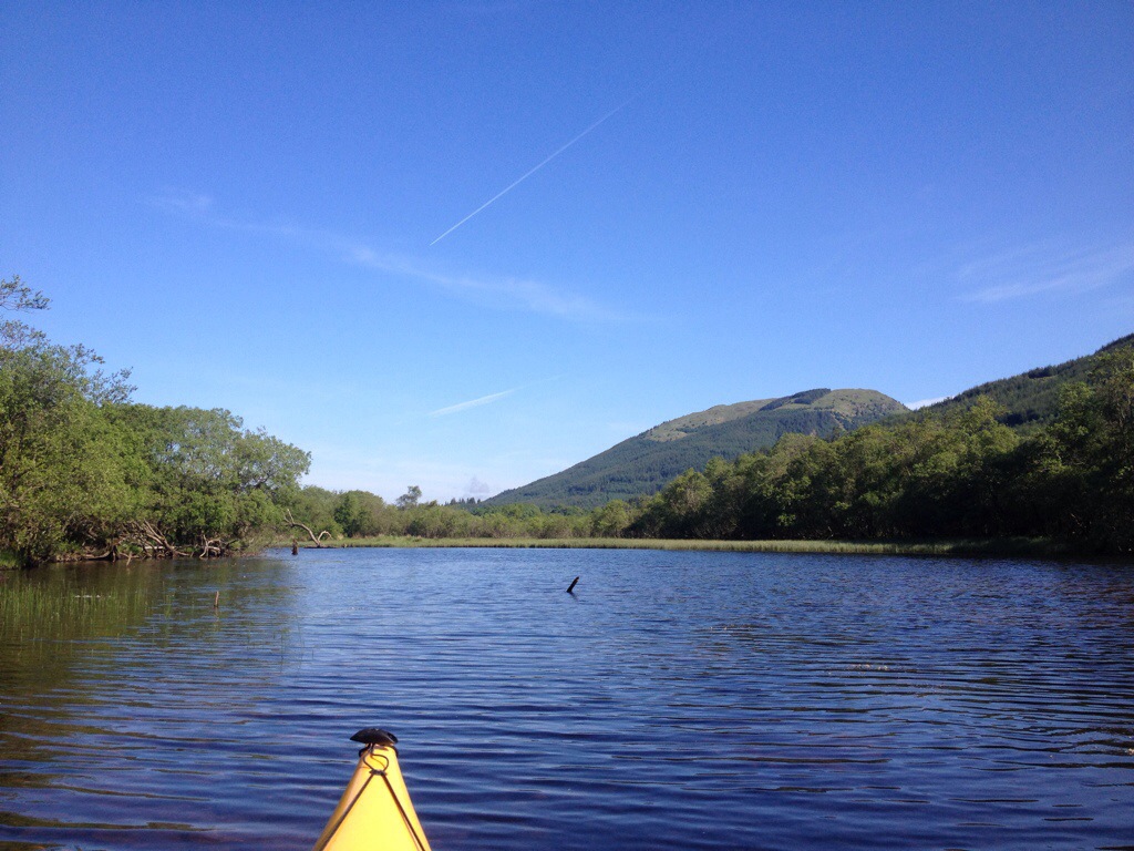
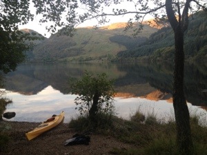
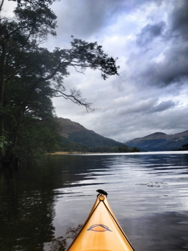
Haven’t been out a decent paddle on Loch Eck for a while. An easy 4 miles with a stop off for a coffee on the West shore.


I’ve been unfaithful………I’ve been exploring other areas!!!
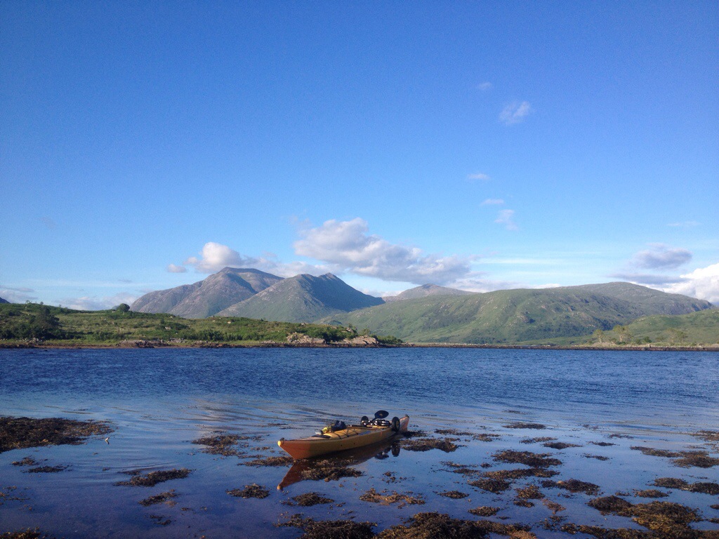
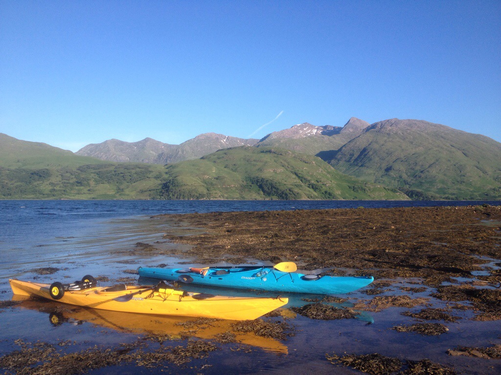
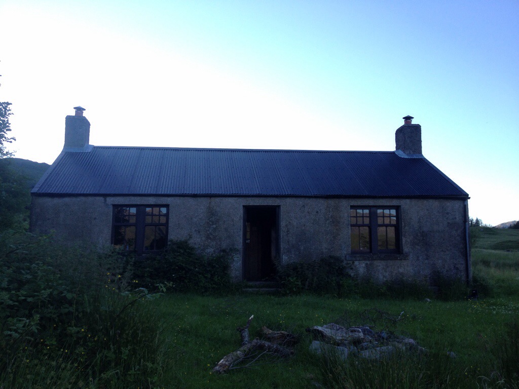
A wee mid week paddle to Loch Etive to visit and stay over at Cadderlie Bothy.
Launched at Taynuilt and headed on our 4 mile paddle. Tad on the windy side on the way out and the biggest waves I’ve encountered yet…..all good fun.
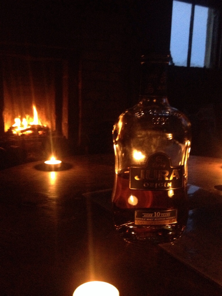
Fuel: Surrounding woodland.
Altitude: 17 mts
Bike friendly : 10/10
Pics from the trip……..
The paddle in


The Bothy


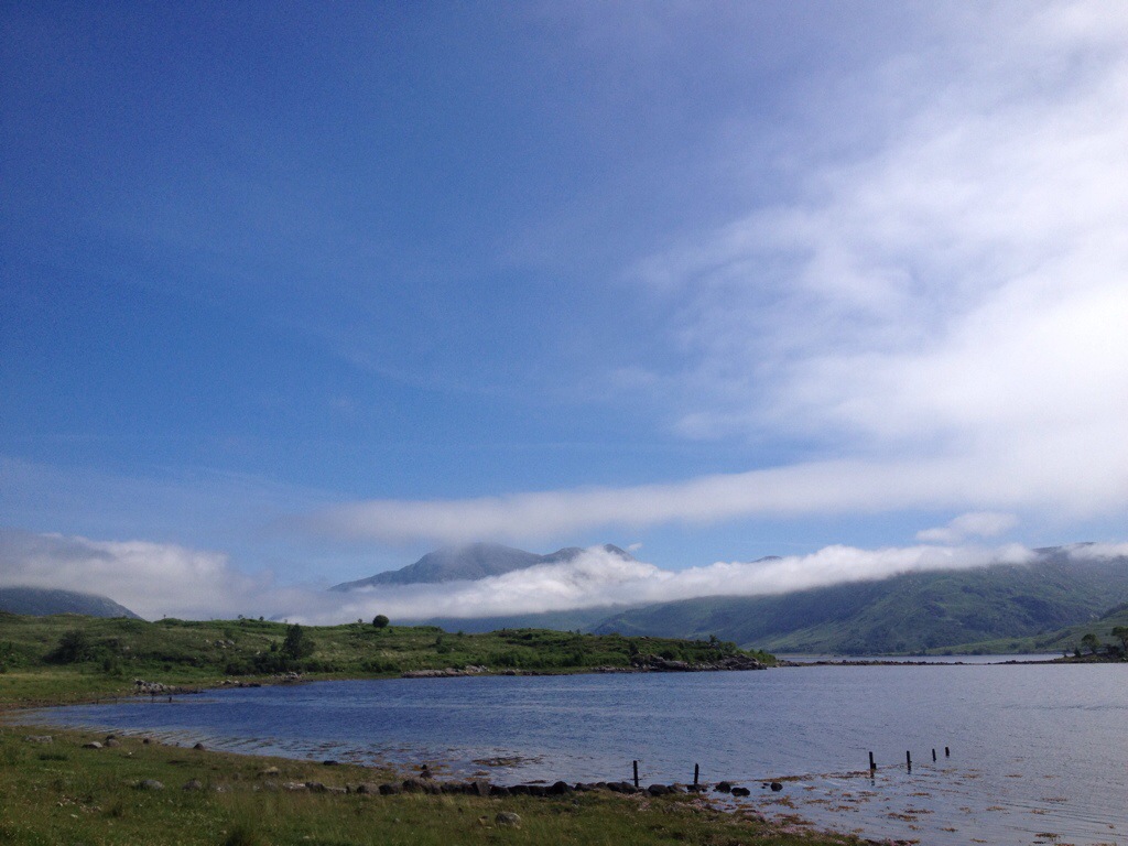
Paddle out


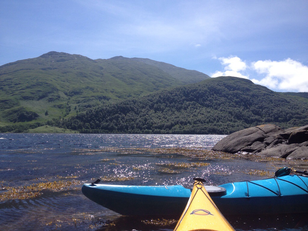
Saturday morning and again I was heading to Loch Eck. This time with a purpose…to find a spot for a nights camping. There’s a couple of large beaches on the Loch,but was looking for something different.
Also wanted to try out my new stove ( Vango Ultralite,73gms) ,have had it for ages and testing it in the garage just isn’t the same.
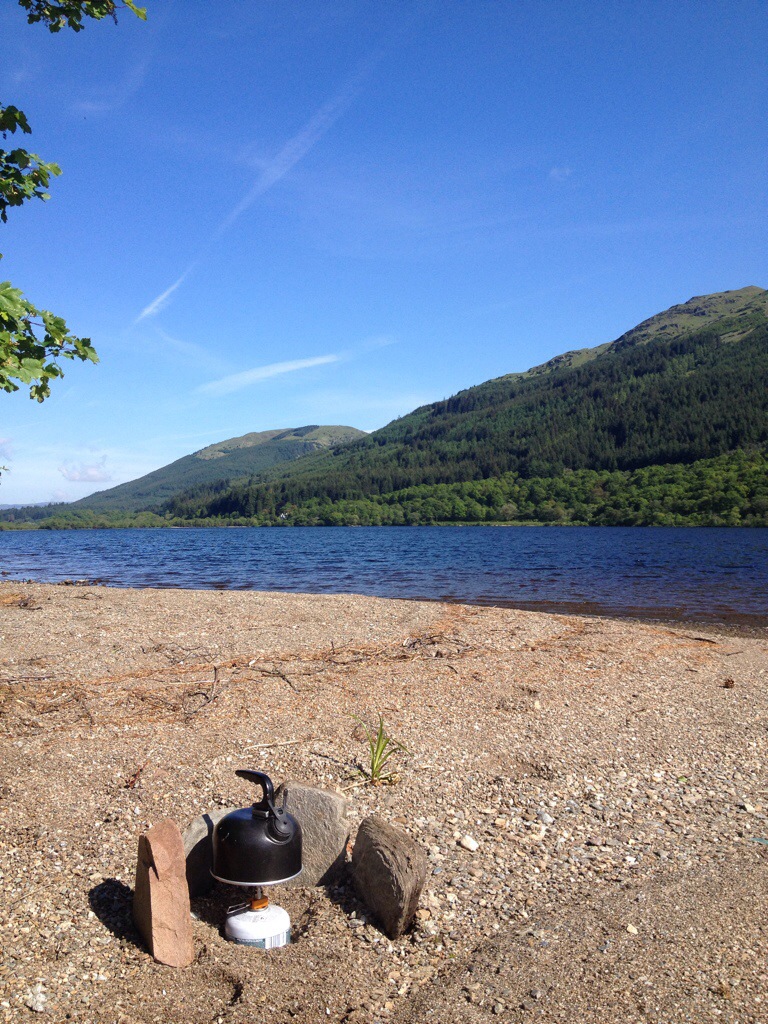
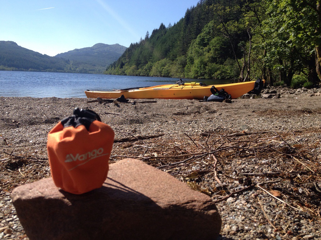
The beach has great views and usually has on side that’s sheltered from any wind, or the options to head into the trees.
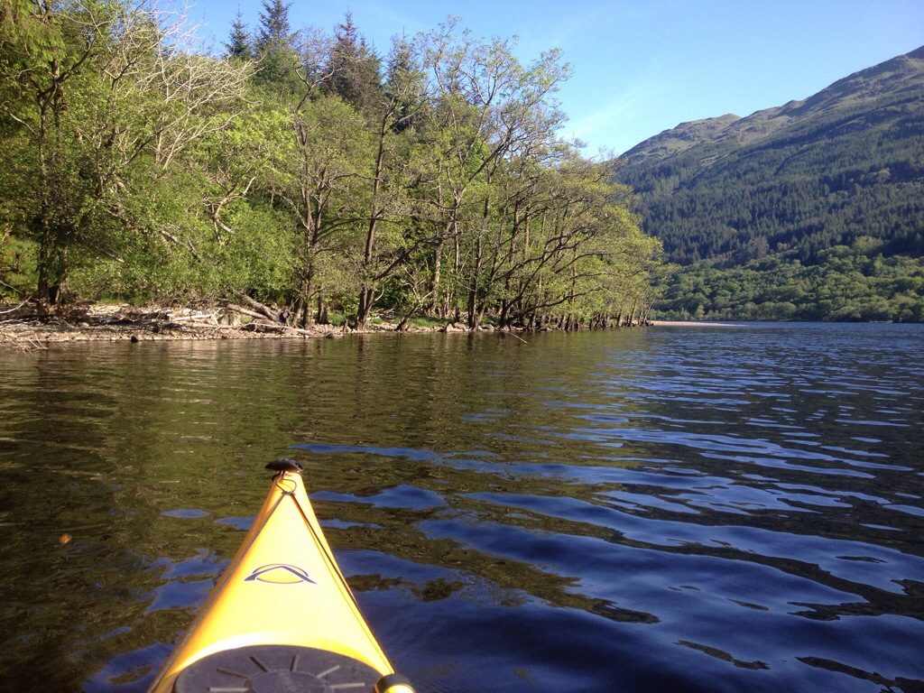


After the beach stop I headed North to the River Cur just to give the arms a work out…….looks like alligator territory up there!!!!


Whilst paddling I did notice some areas of the dreaded Japanese Knotweed growing!!! Having received an email from a member of the local walking group to record any locations I got some pictures and reported back. Hopefully the organised group will be able to treat and eradicate the problem on the shores.

Looking forward to the next visit to this beach……maybe even with the tent.
Oh,almost forgot. 360 degree video of beach
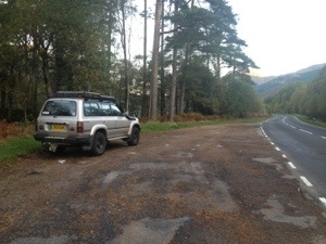
A paddle on Loch Eck was well overdue,roughly 7 months was the last time I paddled here. With a new vehicle sourced and a roof rack fitted last weekend,there was no holding me back ( well work and weather permitting,ha).
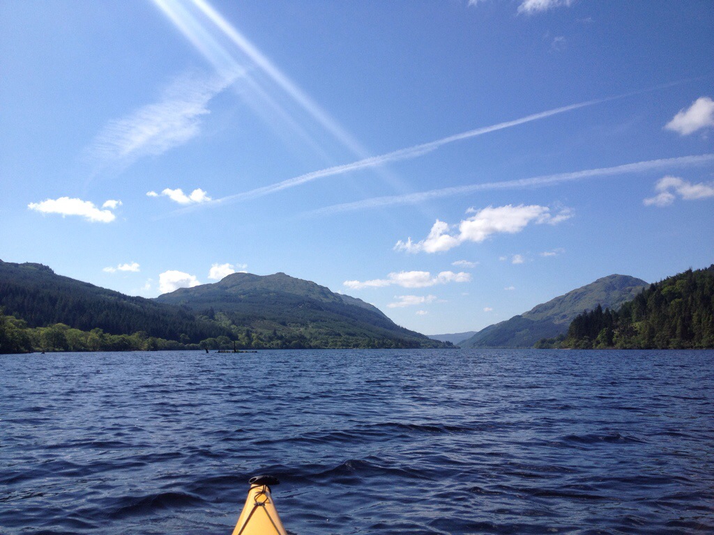
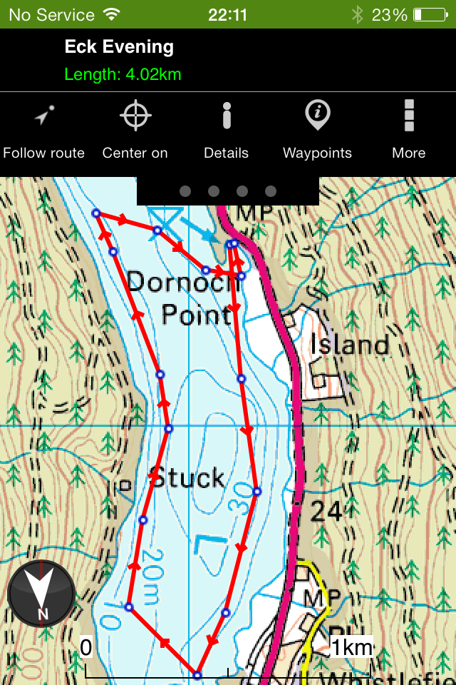
Loch Eck it was !!! Loaded up after work and took the 20 minute drive north of Dunoon. Loch Eck has a number of possible launch points and there’s usually at least one that’s sheltered from the worst of any wind. I chose to launch at the north end of the Loch at Dornoch Bay. With no set plans I decided to paddle south to Jubilee Point then cross the Loch and return on the west side passing the ruin of Stuck Farmhouse.
In the short time I had on the water I think I spent more time taking photos than I did paddling ,but in the conditions it’d have been rude not to.
")
")
")
")
")
")
")
")
")
")
")
")
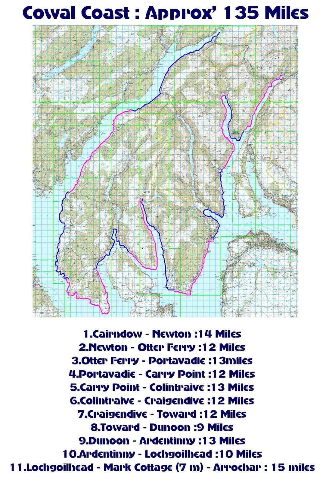
With an approximate total of 135 miles, the Cowal coast line offers plenty to explore.
Taking in Loch Fyne, Kyles of Bute, Loch Ruel,Loch Riddon, Loch Striven, Firth of Clyde, Holy Loch, Loch Long and Loch Goil with the ever changing scenery.
The route can be paddled either one section at a time or multiple sections. A moderate enjoyable paddle allowing time to explore and stop for breaks etc, not a mile munching time trial !
Each section starts/finishes close to a road so vehicle drop off and launch/up lift is easier.
If desired on multiple sections, wild camping, campsite camping, a bunk house, a bothy and even hotels can be found en route. Some village stops are available ,offering the chance to stock up on provisions. Please see below listings for Accommodation, Eateries, General Stores for supplies and Points of Interest. Most of these are where your kayak would hardly need to leave your sight.
Listings.
Section 1-2
-Cairndow Stagecoach Inn. Food, Accommodation. http://www.cairndowinn.com
-Creggans Inn. Food,Accommodation http://www.creggans-inn.co.uk
-Out of the Blue Bistro/Post office.
Food,general store, post office.
Section 2-3
-Lachlan Bay,Old Castle Lachlan. POI http://www.oldcastlelachlan.com
-Inver Cottage. Food http://inverrestaurant.co.uk
-Oyster Catcher, Otterferry. Food. Accommodation. http://www.theoystercatcher.co.uk
Section 3-4-5.
-Black Harbour. South of Otter Ferry. POI, Rocky Islands. Scenic.
-Eilean Buidhe. POI. Most Westerly part of Cowal.
-Portavadie Marina. Food Accommodation. Shops http://www.portavadie.com
-Ascog Bay. POI. Scenic.
-Kilbride Bay. POI. Scenic.
-Ardlamont Point. POI. Most southerly point in Cowal.
-Carry Farm, accommodation. Camping. http://www.carryfarm.co.uk
Section 5-6
-Kames Hotel. Food Accommodation
http://kames-hotel.com
-Duncan’s Stores. General store. Uphill from Kames Hotel. http://www.duncansvillagestore.co.uk
-Tighnabruaich, town. (RNLI slipway) access to…..
-Local Cafe. Food
-Spar. Grocery Store
-Various other outlets.
-Caladh Harbour. POI scenic
-Buttock Point,North Bute POI, Kayak stop.
-Burnt Islands,Kyles of Bute. POI. Scenic, tidal race!
-Colintraive Hotel. Food Accommodation. http://www.colintraivehotel.com
Section 6-7.
–Toward Sailing Club. POI. Kayak stop. http://www.towardsc.org.uk
-Toward Lighthouse. POI. Scenic.
Section 8-9.
-Innellan Slipway, North of Old Pier. Access to….
-Innellan Post Office and store.
-The Osbourne Hotel,Innellan. Food
-The Villagers Royal, Innellan. Food. http://villagers-royal.co.uk
-West Bay, Dunoon. Beach. Access to…..
-Cosy Corner,Food
-Rock Cafe,Food https://m.facebook.com/pages/Rock-Cafe-/128819720575851
-Coast Coffee. Food.
-Various Guest houses.
-Dunoon Town, Slipway at swimming pool. Access to…
-Town Centre. Shops
-Seasons Coffee shop. Food http://www.seasons.coffee
Section 9-10
-Kirn Beach,access to…..
-Kirn Variety Store, Groceries.
-Java Walk, Cafe
-Blacks the Bakers,Food.
-Other eateries.
-Slipway north of Western Ferries link span. Access to……
-Coffee Ahoy. Drinks. Snacks.
-Hunters Quay Hotel. Food , Accommodation http://www.huntersquayhotel.co.uk
-Royal Marine Hotel. Food, Accommodation. http://www.royalmarinehotel.co.uk
-Holy Loch Marina. Access to…..
-Various outlets within Marina including Holy Loch Cafe Shop. http://www.holylochmarina.co.uk
-Also access to Sandbank Post Office. Groceries. ( main rd).
-Ardentinny Hotel. Ardentinny. Food Accommodation. ( Closed for refurb).
Section 10-11.
-Caravan Shop,Drimsynie Estate. Near Drimsynie House. Concrete Bridge. General Store. Off Licence.
-Lochgoilhead Post Office. General Store.
-Goil Inn. Food ,Accommodation.
-Mark Cottage. Open Bothy (MBA). Opposite Glenfinart Depot. http://www.mountainbothies.org.uk/bothy-details.asp?bothy_id=116
-Arrochar Hotel. Food Accommodation. http://www.bespokehotels.com/arrocharhotel
-Arrochar Village Shop. General Store.
-Arrochar Fish and Chips. Food
-Ben Arthur’s Bothy,Food. https://m.facebook.com/pages/Ben-Arthurs-Bothy/264888646788
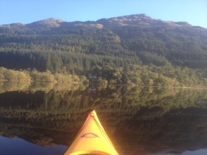
Continuing from where I finished the other week, the second half of Loch Eck was completed on Sunday 13.10.2013.
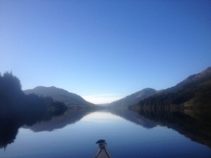
I’ve never been on the Loch in these flat calm, mirror like conditions!!! On the water for 8am.
Choice of launch point was the large loch side layby south of the Whistlefield Inn. This is almost directly across from Bernice farmhouse so perfect as a continuation of my previous outing. There’s a wee carry involved but easily managed. A wee beach ideal for entry and exit is located at the South end of layby.
Nice large layby for parking.
The launching/landing point
I was itching to get on the water, just in case the conditions changed……as they do ! I never bothered to head down the Loch till I was perfectly in line with Bernice, I just wanted to get up the Loch and get the camera out. Well, when I say camera I mean iPhone in its waterproof ( untested) pouch. It usually compromises the picture quality but at least it’d survive a dunk ( hopefully).
View to the North from launch point
I was soon on my way, firstly heading across to the West side to check out the beaches for future camping trips.


Plenty if room for a few tents !!
I continued North taking in the scenery to the sound if the stags rutting in the hills above.

Not long till I found another cracking beach

The conditions got brighter and better
Without realising the distance covered, I was at the top of the Loch.
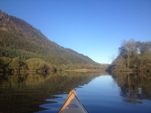
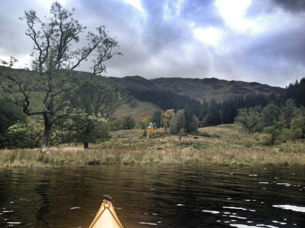
The river Curr and house at the head of the Loch
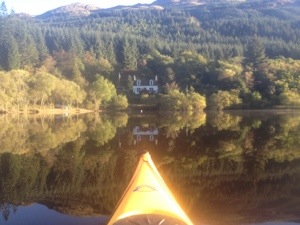
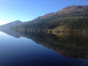
From here it was a just a case of heading back down the Lock sticking to the East shore as the low winter sun was dazzling. It gave the chance for some good pictures so I’ll let them do the talking. Even went right down to Bernice on the return leg just to tie the two trips together. 👍


Dornoch point. Another great launch/land point

 South to North panoramic

Whistlefield Inn

 Back to Bernice
If that doesn’t sell Cowal I don’t know what will, Ha.

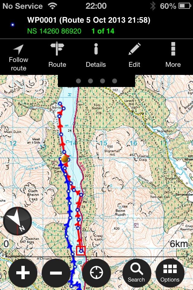
Wee map of route. Approx’ 11kms/7miles
South end of the Loch…..
With some free time today, I decided to load the Kayak and head to Loch Eck. Not planning anything major, just a paddle to get a few miles and experience in.
On pulling up at the lay by adjacent to the chosen launch point, a reasonably calm Loch awaited.

The launch point.
Conditions although overcast were the best I’ve experienced in my limited kayak outings. Dry weather and a calm Loch……that’ll do!!
Loch looking well.
Staying on the East side of the loch I headed up to the Coylet Inn. Always an option for a bite to eat and a refreshment.
 The point prior to the Coylet
 Coylet Inn. As tempting as is was, couldn’t justify stopping for a break after just 15 minutes.
After a few pics I continued North to the caravan park then decided to cross to the West side.
 In to the calmest of water
Decided to follow the shore line rather than my usual straight line point to point.
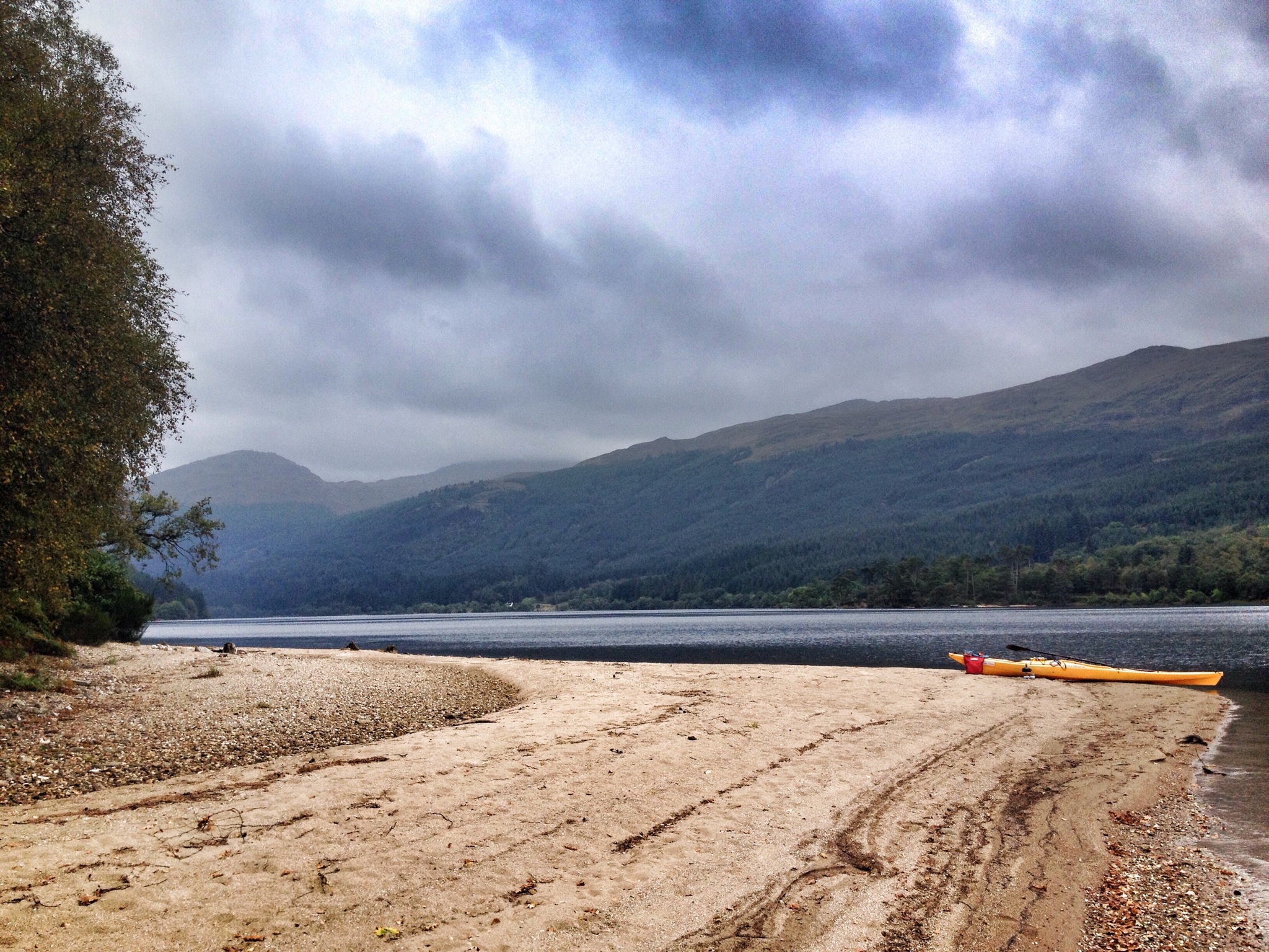
From here I decided to head up to the beach we’d walked to last time for a nights camping.
Took a wee vid with my iPhone ( in its £6.99 Cot House Services water proof case).
There was slightly less beach than on our last visit due to the amount of rain that fell a few days ago.
 Location of last camp
With plenty of time I decided to head onwards to Bernice Farmhouse and the old stone pier.

 Bernice and some Cattle
 Old stone pier
I’d covered about 3 miles to this point so after a wee bite to eat I decided to turn about and head back down the loch. With enough life left in my phone I decided to take another wee time lapse picture sequence. The water remaining calm.
The End 🙂 Cheers 🍻
