Buachailean Trig,Toward. Overlooking Bute towards Arran.
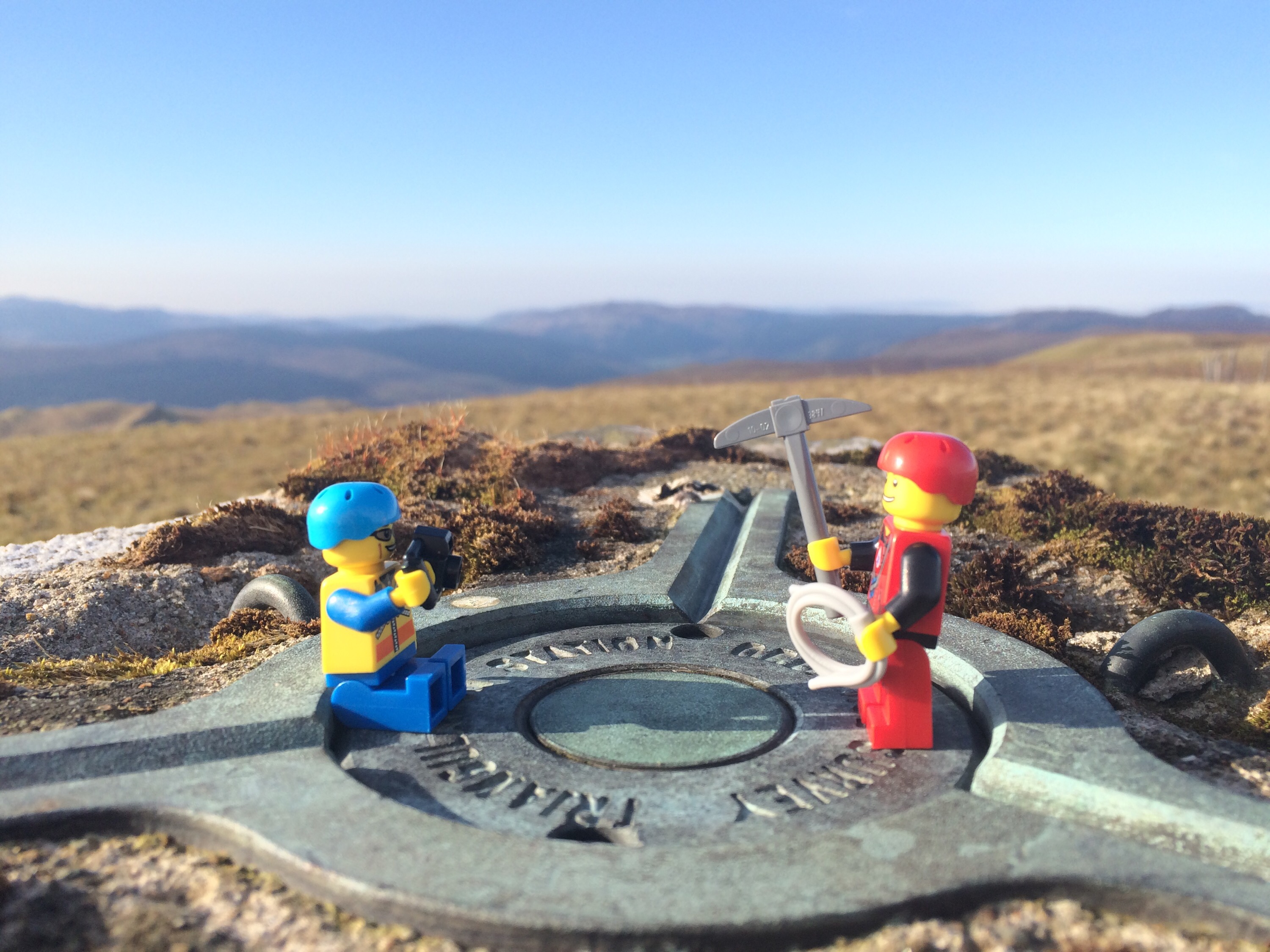
Trigpoints are the common name for “triangulation pillars”. These are concrete pillars, about 4′ tall, which were used by the Ordnance Survey in order to determine the exact shape of the country. They are generally located on the highest bit of ground in the area, so that there is a direct line of sight from one to the next. By sitting a theodolite (an accurate protractor built into a telescope) on the top of the pillar, accurate angles between pairs of nearby trigpoints could be measured. This process is called “triangulation”.
Trig points are another place worth visiting. Most giving great views,not quite sure on the exact amount of the ‘Pillar’ type there are in the area, but the figure must be close to 40,varying in build material and condition.
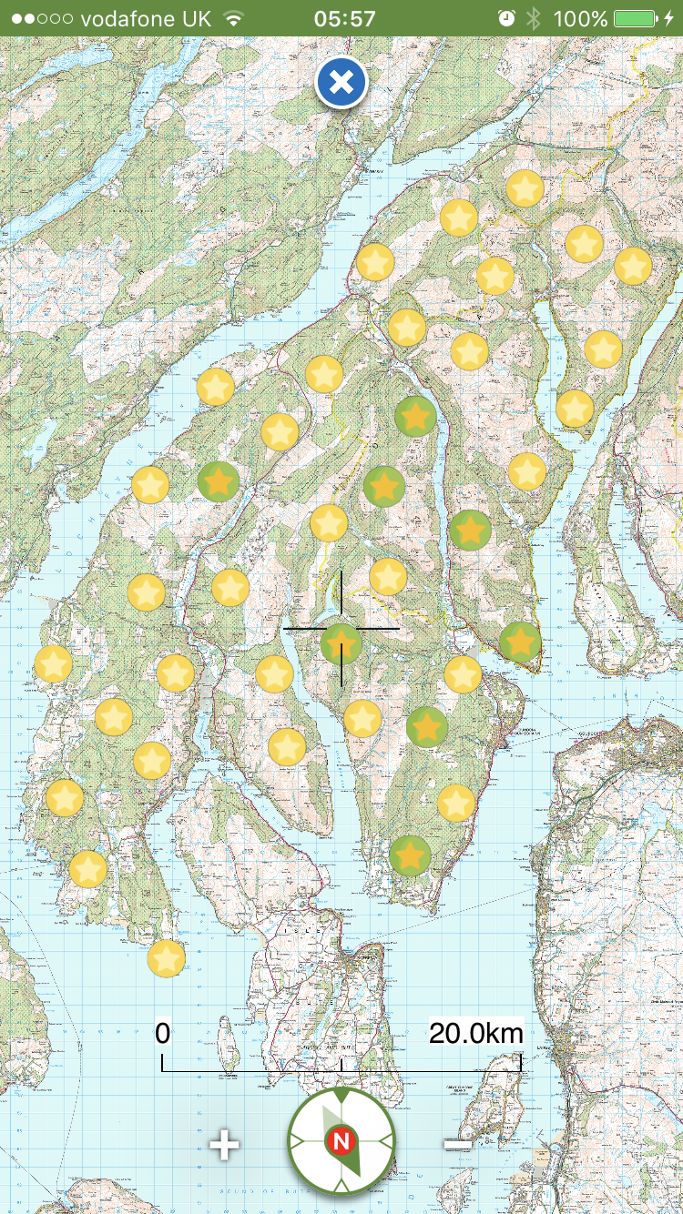
Trig Points vary in elevation, some easier to access than others but that adds to the challenge. Indicated on OS maps by a small blue triangle with a central dot, they are everywhere!


Having previously reported many Trigs on walkhighlands reports, I guess I’ll need to revisit the local ones to record in the blog format.
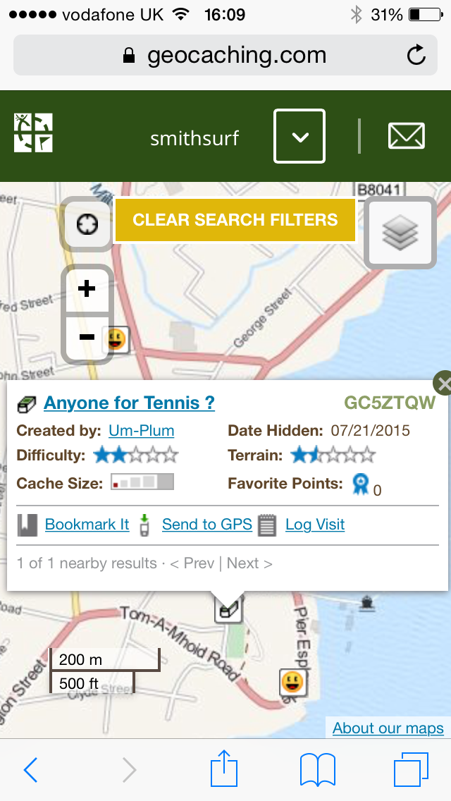
Blog reports HERE.