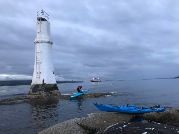
A 6am paddle to the Gantocks Lighthouse for sunrise. We were joined by the Disney cruise ship too 👍


A 6am paddle to the Gantocks Lighthouse for sunrise. We were joined by the Disney cruise ship too 👍
Travelling north of Dunoon, it’s a must to visit Puck’s Glen . Puck’s Glen is an atmospheric walk and a jewel in Cowal’s crown. Follow the trails through the gorge with its tumbling waterfalls and moist shady undergrowth. Your camera will never return to your pocket!


Eager to get on the water, after a stormy few days, Sunday provided a favourable forecast. The choice of route was to set off from Dunoon and head to Loch Goil or to the top of Loch Long.
An 8am start allowed time to get fuel and be on the water by 08:30hrs. Parking at Port Riddel and wheeling the boat down the ramp to the slipway, some of the concrete slab that forms the running surface blown in past storms easily negotiated. The slipway, was exactly that! Due to the low tide the full length of the ice like slipway had to be conquered, resembling Bambi on ice the boat was not so gracefully launched.
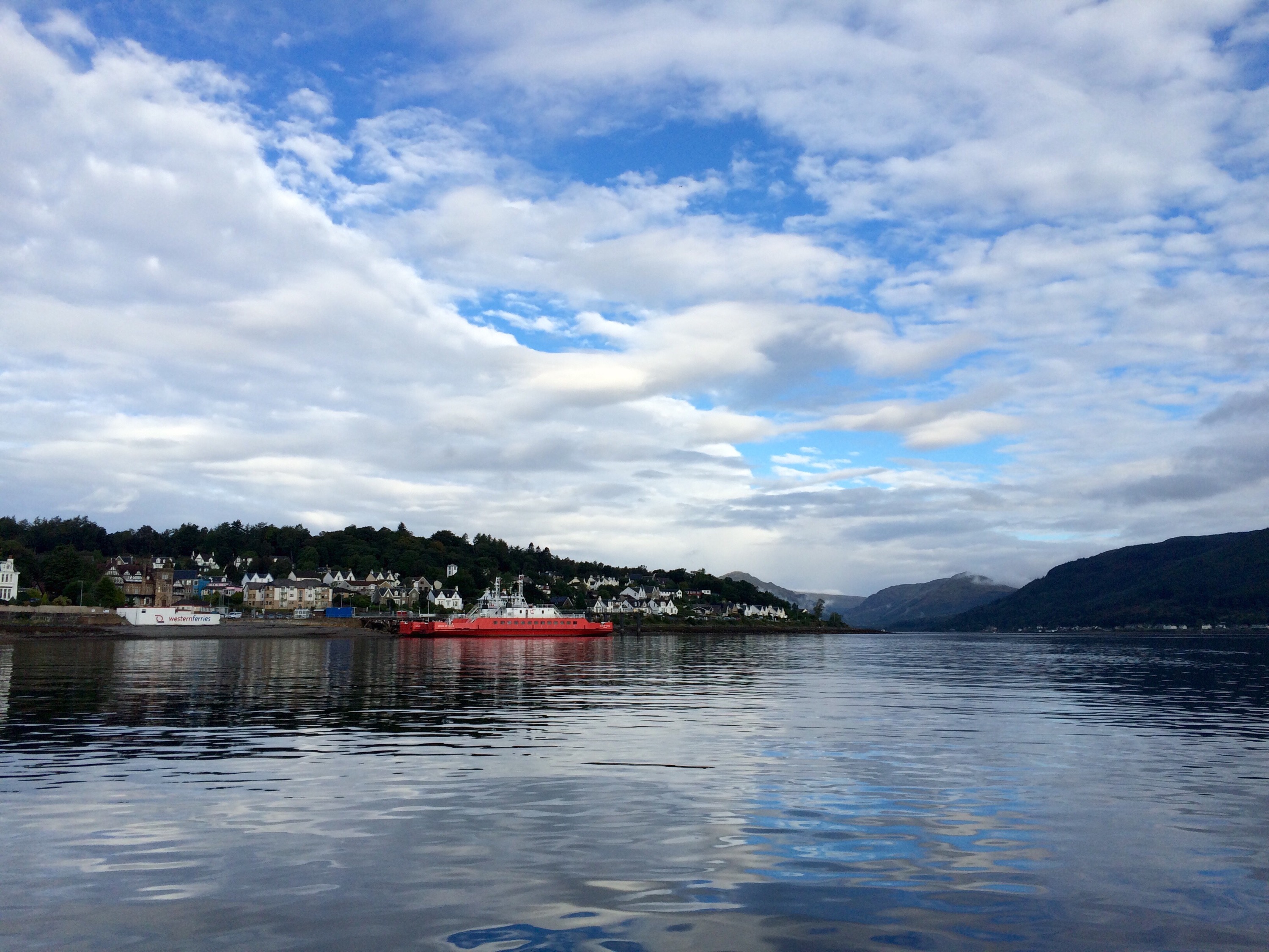
Leaving Dunoon behind we passed by Kirn and Hunters Quay before passing the mouth of the Holy Loch.


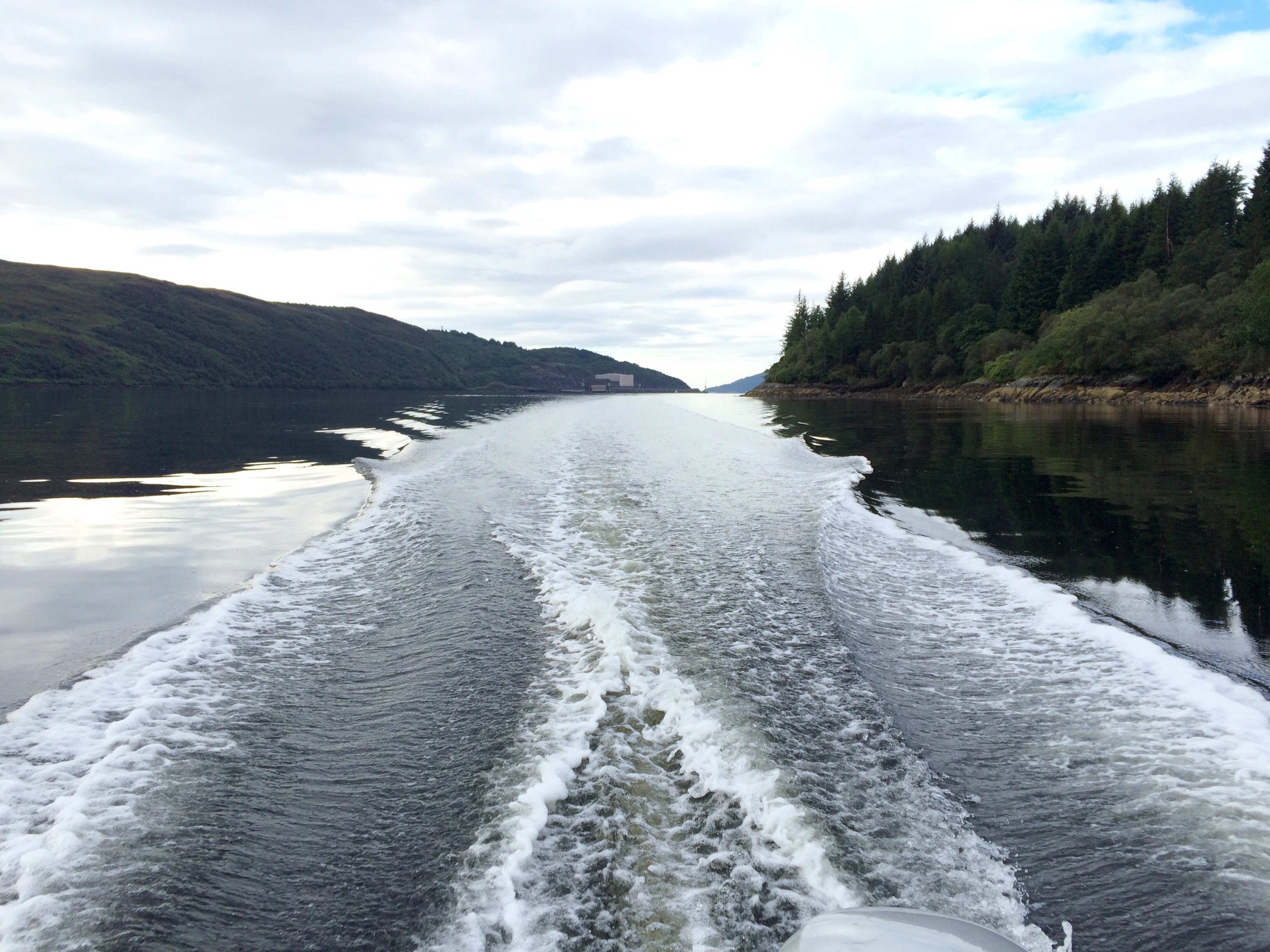
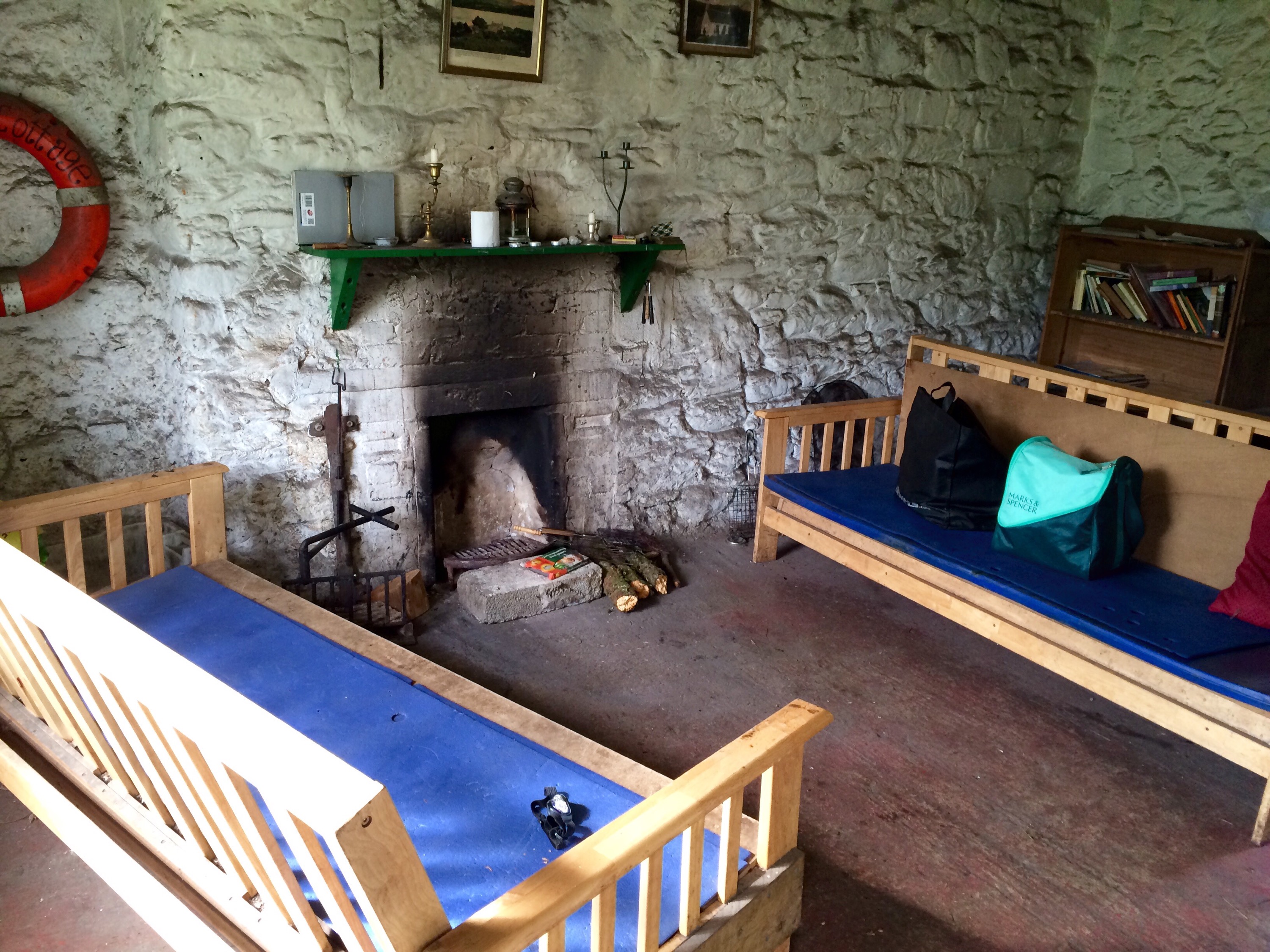
From here the coastline changes, swapping the C9 road that ran adjacent to the shoreline for a rocky coast laden with forests on the steep slopes. There’s some old buildings hiding in the woodlands, highlighted by the remainder of a pier on the shoreline.

The buildings, one of wooden structure the other of concrete lie open to the elements. The buildings were there to house (ironically) the workings of an anti submarine boom circa WWII .The large winches and associated workings partially remain today. Click HERE for further detail on when I walked to the station from Ardentinny.
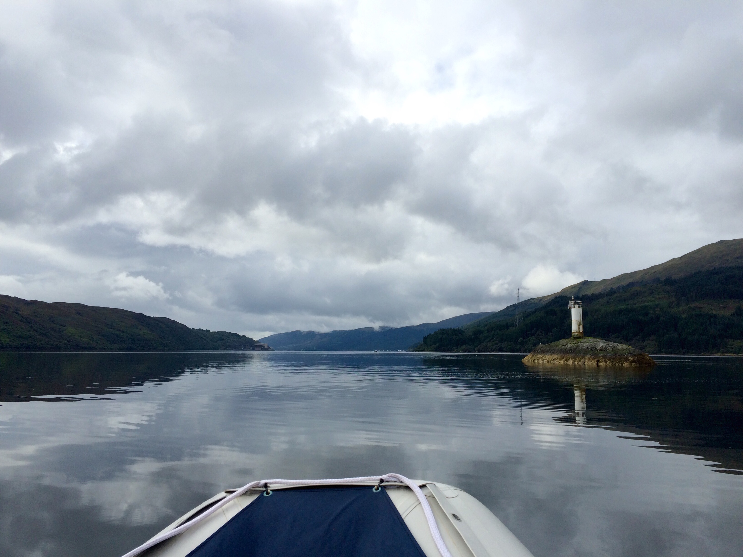
The water remained glass like for our onward journey, the Police launches showing no interest in our puddle jumper.
Turning left to enter Loch Goil, we passed a seal on the rocks, it like the Police showed no interest in us. Another point of interest is Carrick Castle. It’s been under restoration as a dwelling, however there’s been little progress in the last decade.


Moving up the loch, we passed The Lodge, you may recognise the tree house from the Visit Scotland ad that was aired a while back, very impressive.


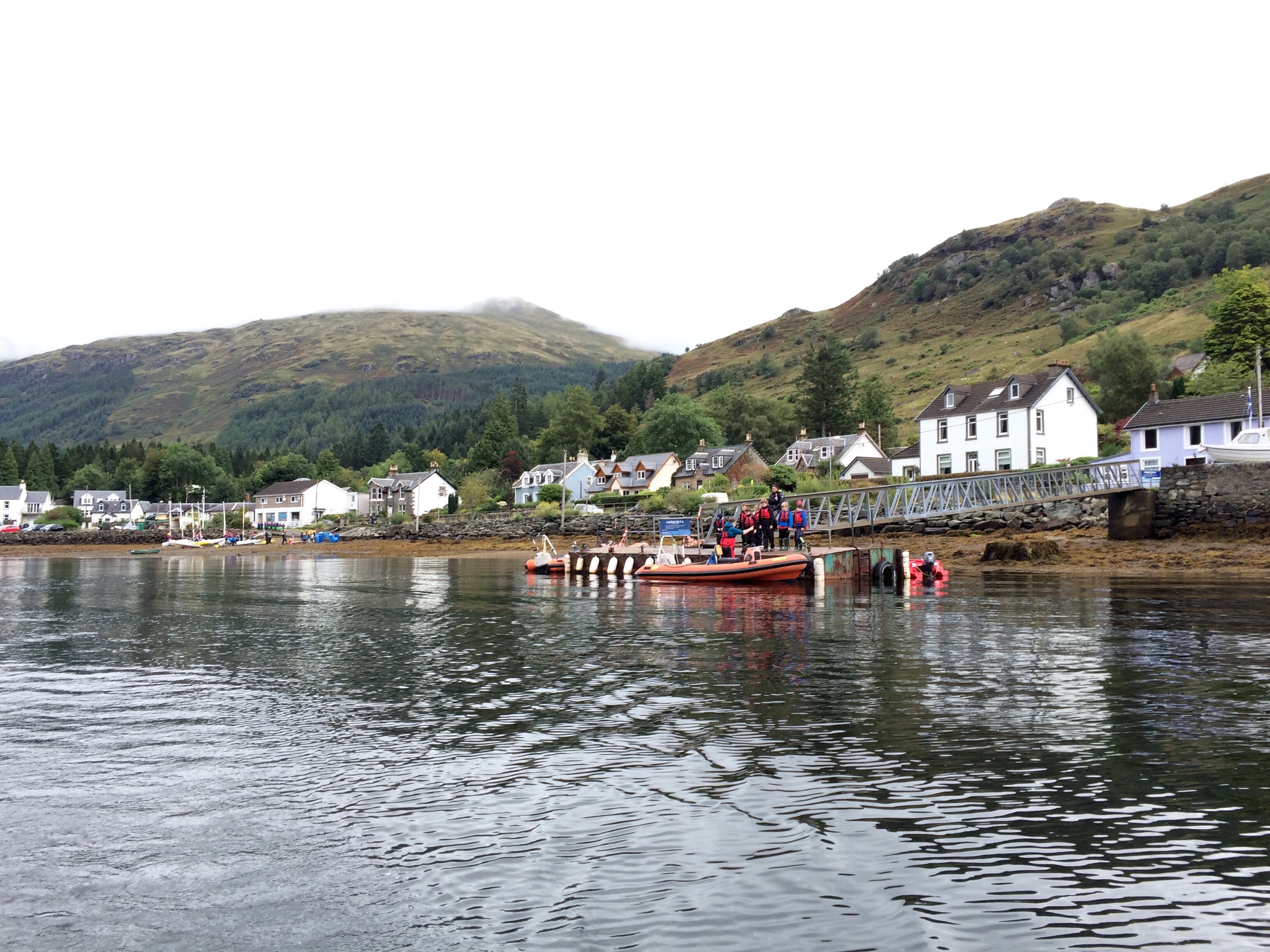
After acting like the the paparazzi we made our way to the head of the loch, checking out the local pontoons. One at the foot of Corrow next to the boat storage with Beinn Bheula in the background, the next within the Lochgoilhead Village, handy for a stop off at the Goil Inn or Post Office should you wish to send a postcard.


Sitting opposite the Finart Oil Terminal, Mark Cottage provides vistas to something different.
Once we’d had lunch we headed back to Dunoon, roughly taking 45mins at a leisurely pace.

Managed to cover 36 miles in a morning, taking in lots of scenery spotting seals,shoals of fish, herons and porpoise…..what’s not to like!
The normal format for the annual Clyde Swim is to leave Dunoon in RIB’s and head to the Cloch lighthouse on the eastern shore. The swimmers disembark into the Clyde and make the return journey under their own steam, landing at the West Bay,Dunoon.
This year, due to the weather forecast a change of plan was required. The chosen start point was Seal Rock, just north of the Balaclava Garage. This guaranteed that the usual 1.6 nautical miles were covered and the finishing point stayed as originally planned.
I volunteered to help out with the support for the event. Basically getting in the kayak to help keep an eye on the participants, should they require assistance.
A few pics my dad took from the shoreside. 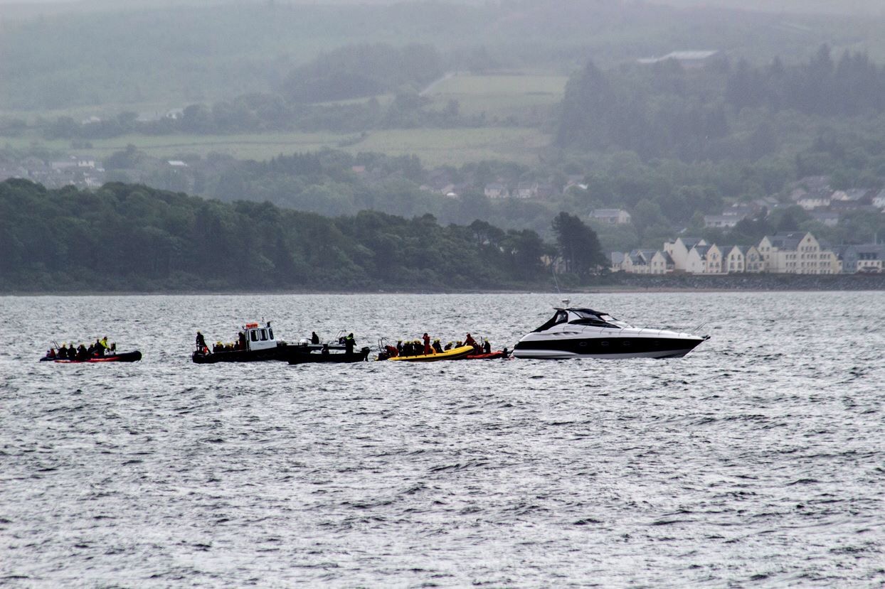

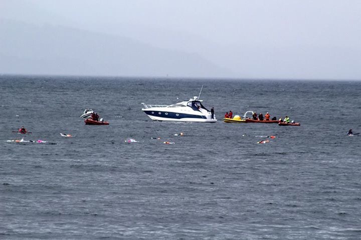


 The brother in law coming in 2nd 👍

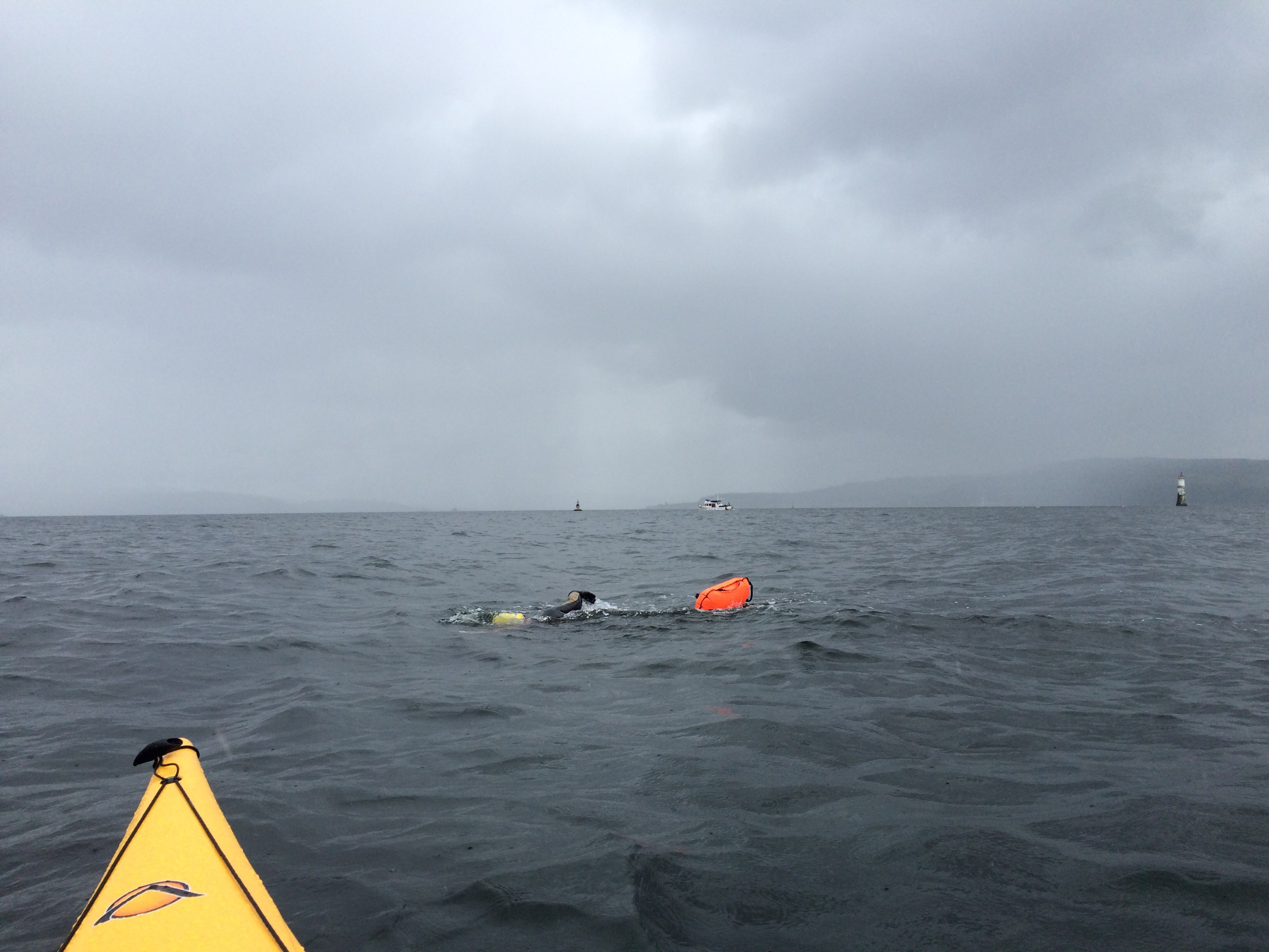
Some footage from the kayak at the start.
Huge congratulations to all taking part and a huge well done to those that organised and helped on the day.
12 Miles Walk or Cycle.
A walk leaving from John Street, Dunoon Heading for Glenkin and completing the loop of the Glen before returning to Dunoon.
An easy to navigate route on forestry roads giving great views over Dunoon, the Holy Loch and Glenkin.
The walk can be easily extended by starting from the Bishops Glen.
")
")
")
")
")
")
")
")
")
")
")
A fully interactive map with pictures and stats can be found HERE

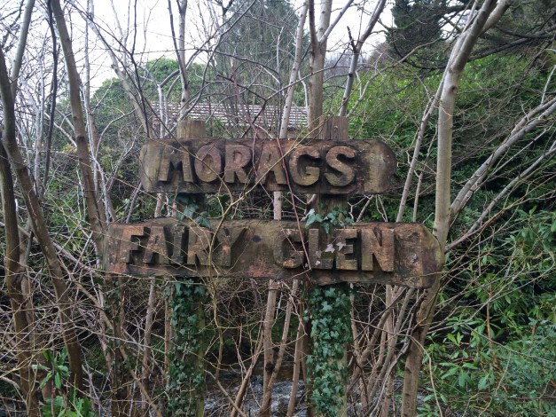
A trail through natural woodland, with waterfalls and bridges. A great family walk situated near the West Bay, Dunoon.
Numerous paths wind their way round and up the Glen. Taking the lower paths will lead you to the bridges that span the water of Berry Burn.
A mixed route of pathways and formed steps, not forgetting bridges.


You never know…..you may spot a fairy!!!

If the kids aren’t tired after the Glen, there’s a swing park and beach close by!

Had looked for this on one previous occasion, but no joy. However on today’s wander i stumbled across part of the old Rifle Range dating back to what possibly could be World War I.

Remainder of the target lifts and surrounding brickwork.


More info on the site can be found by clicking HERE.
