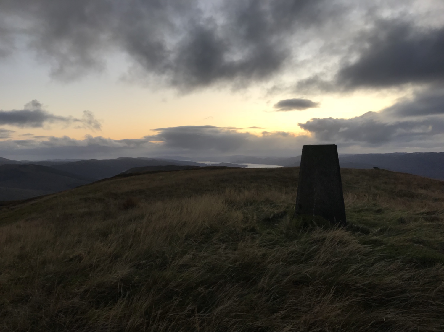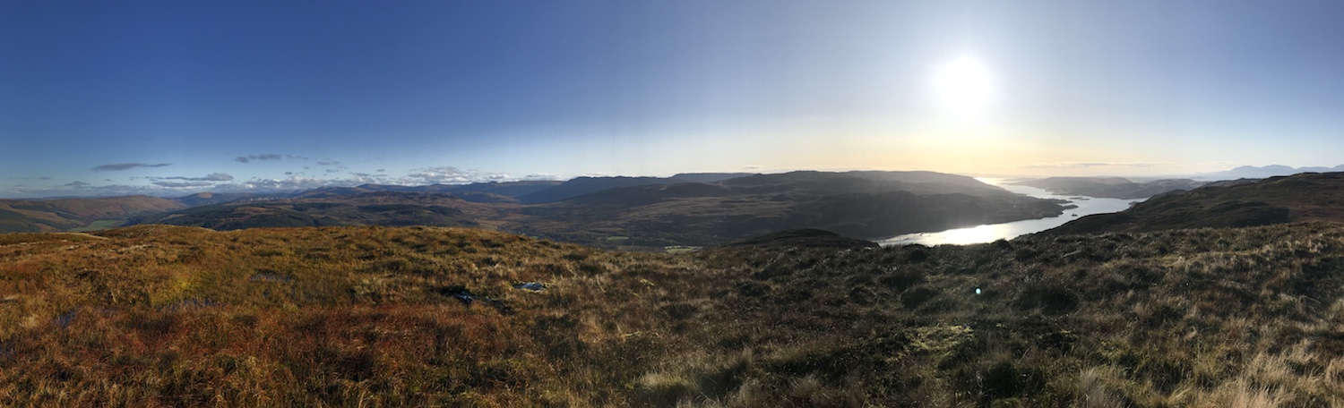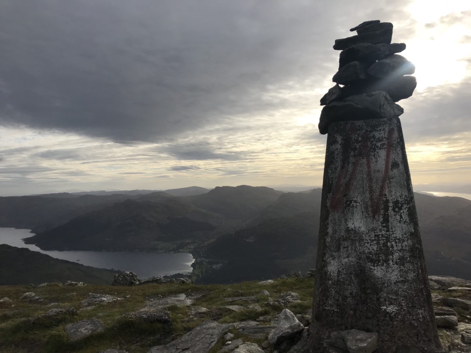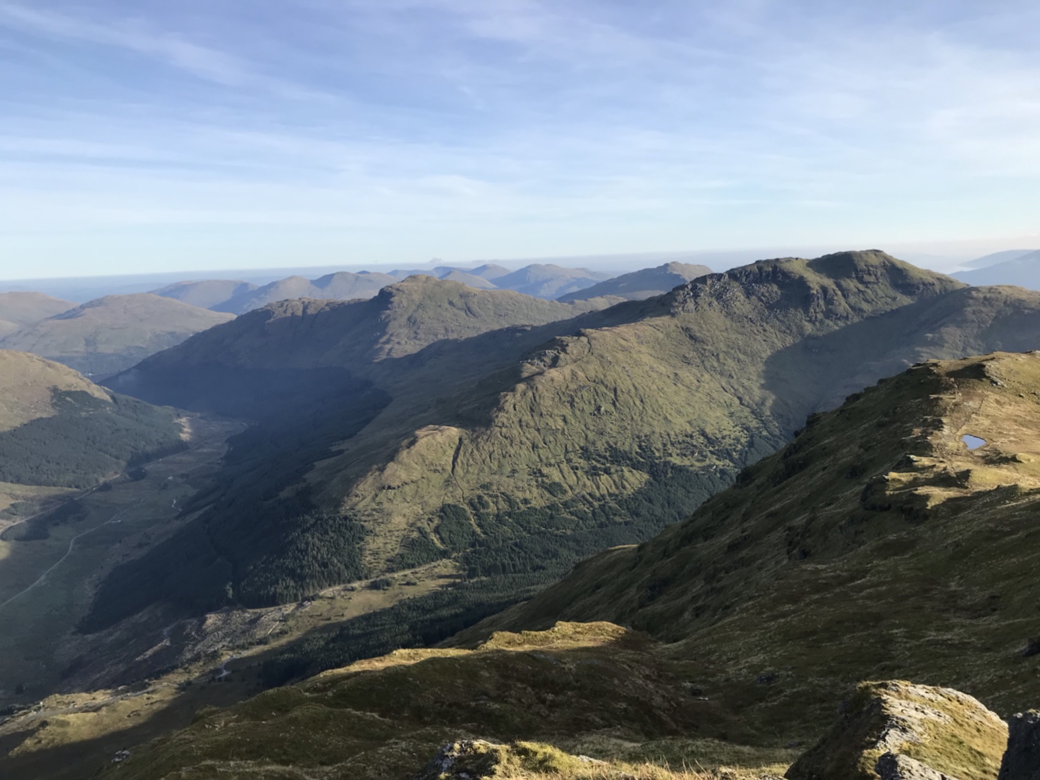
Well, it’s been a while since I’ve updated this page, but I’ve been out n about… honest. Mostly on routes already recorded, but this one is something different. This route combines Scotways routes 97 and 98 forming a loop starting and finishing at Invernoaden south of Glenbranter. Weather conditions were exceptional!

Route Name: Strachur Hill Lochs and Waterfalls
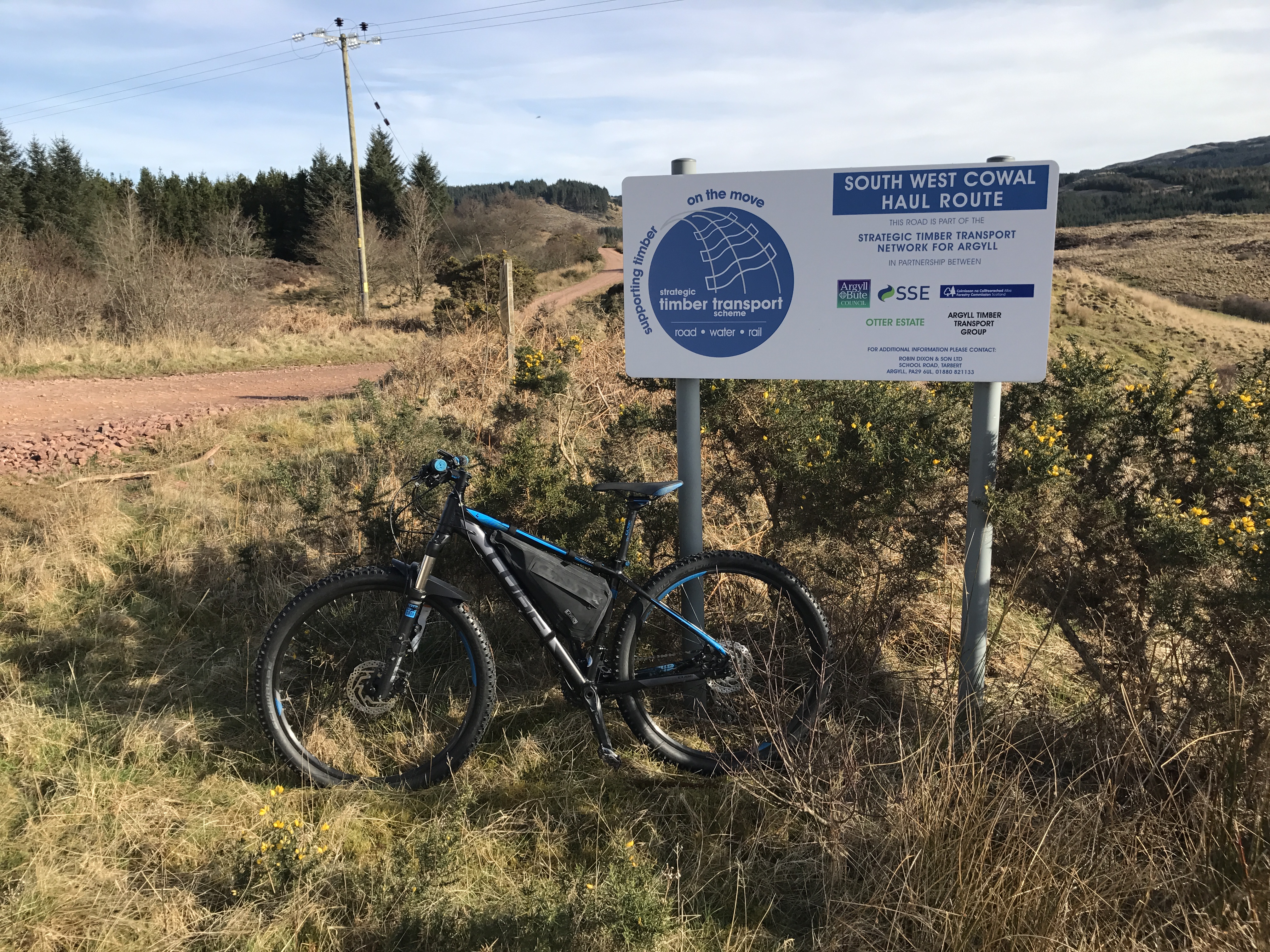
Terrain: Forestry Road, pathway and open hill
Distance: 13 miles
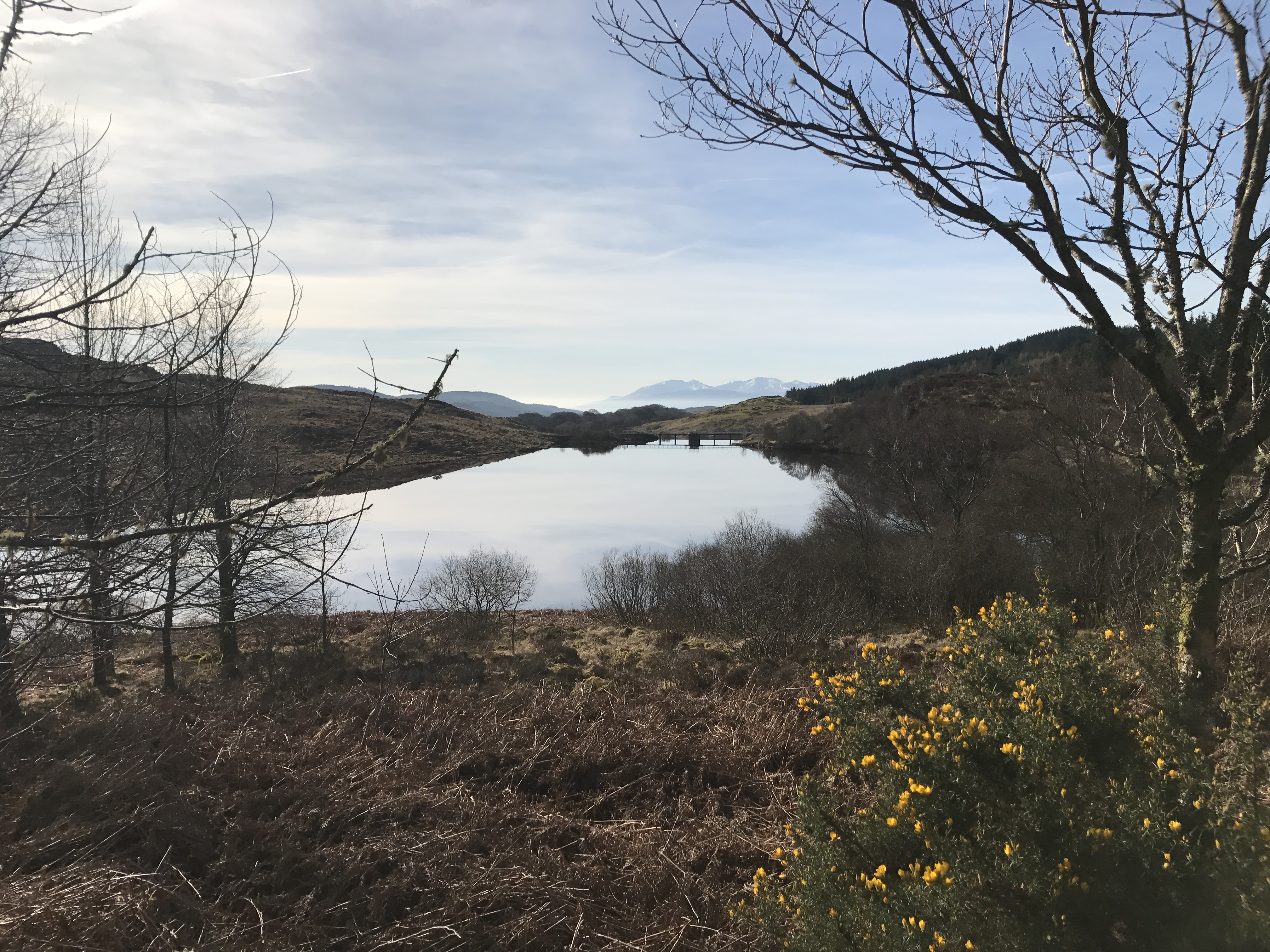
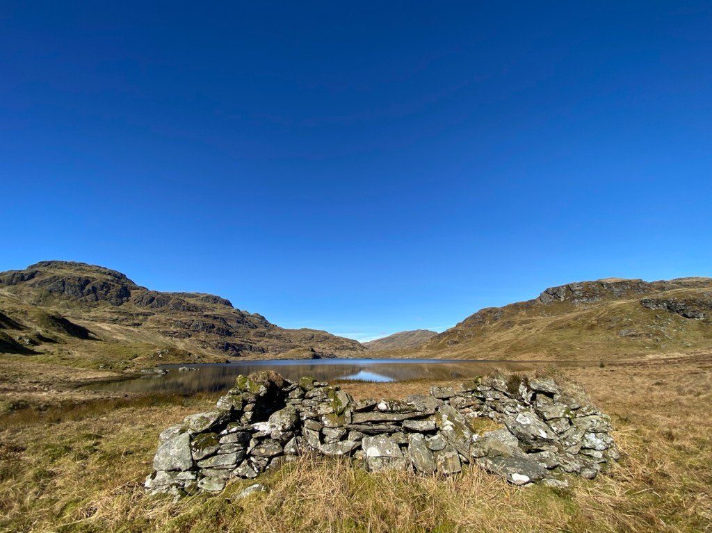
Features: Loch Lomond and Cowal Way (part of) Curra Lochain, Struth Ban Falls and Lochan Nan Cnaimh. Oh a locked Bothy as well.

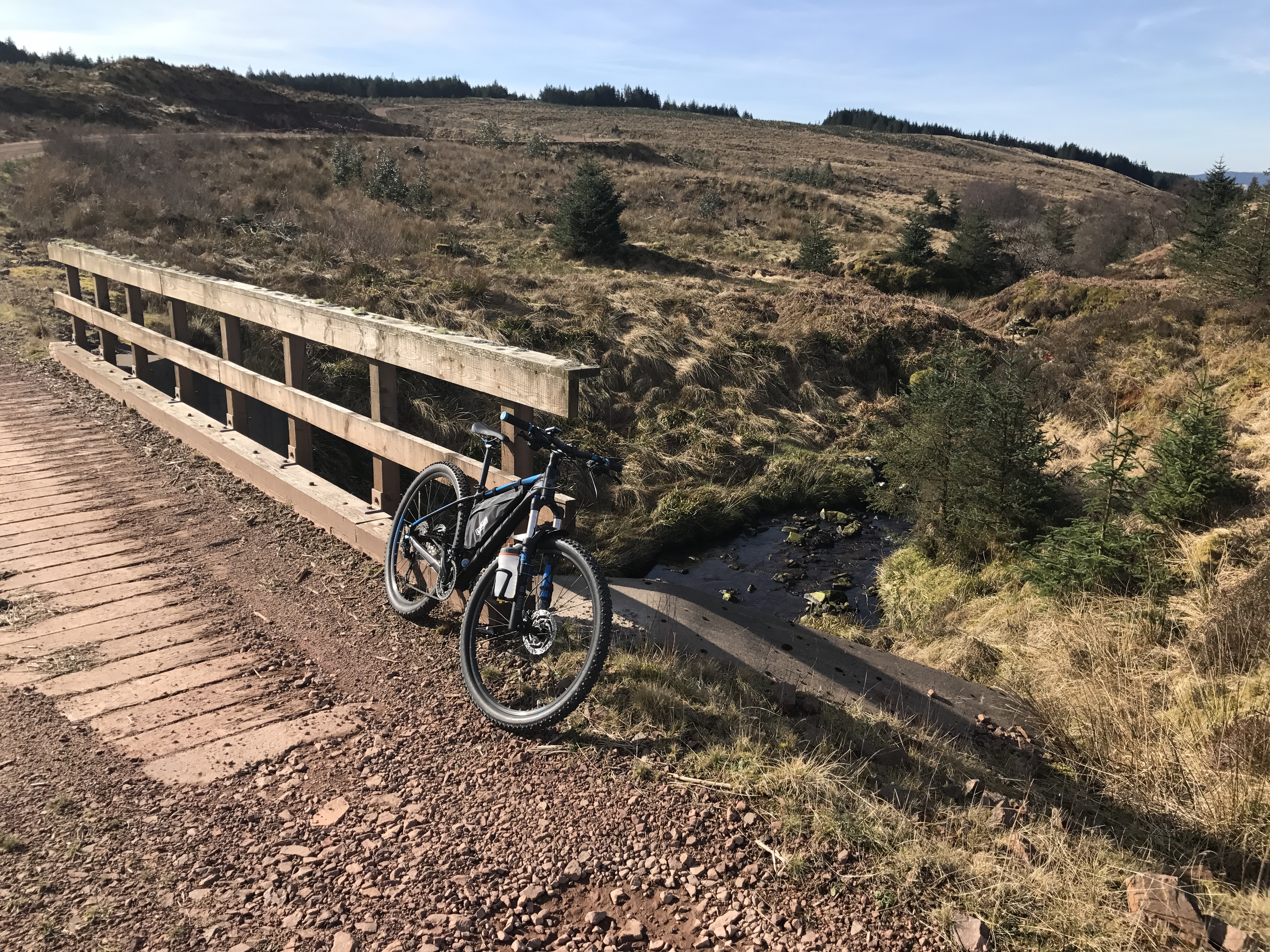
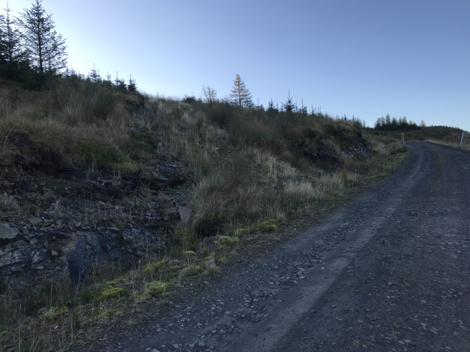
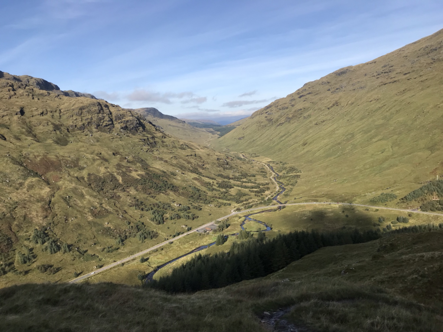
Parking at Invernoaden in the car park that was built for the Lauder Monument, the path leads to the monument then joins the unsurfaced loop road that serves the properties. Turn right on joining it and head round the crescent till a gated forestry road appears on the right. Following the forestry road it meets another, keep right at this point and continue climbing till you join the Cowal Way ( now Loch Lomond and Cowal Way).
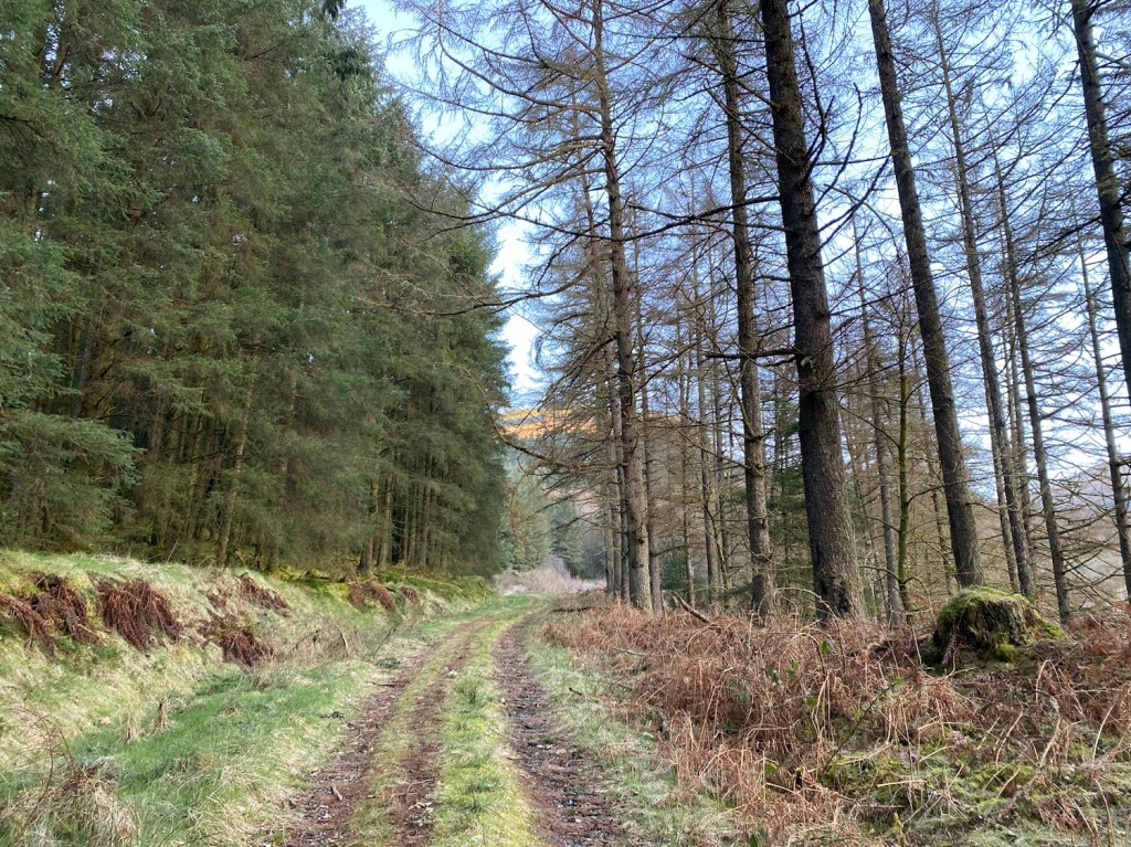

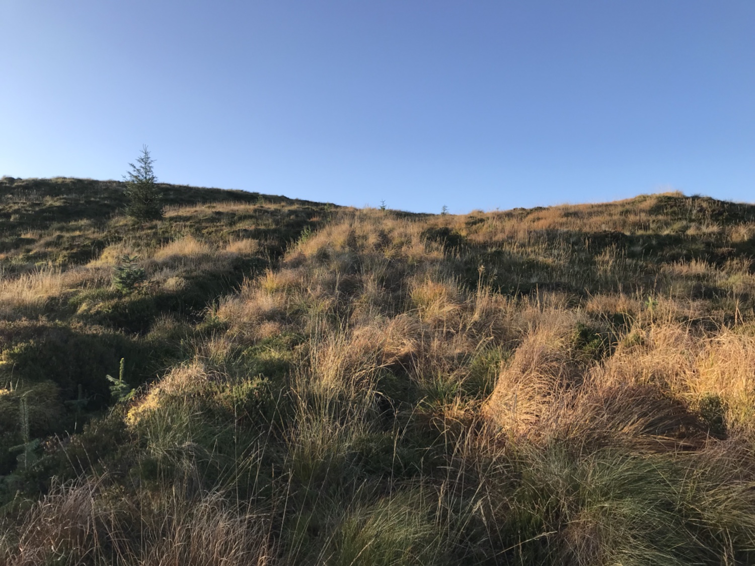
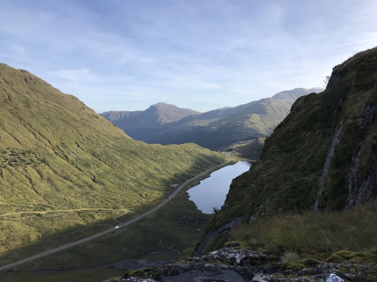
From here the marker posts guide you on your way. The last time I was on the section of LLCW ( Cowal Way in a Day ) the pathway from the end of forestry road to Curra Lochain hadn’t been install, this is an excellent addition.


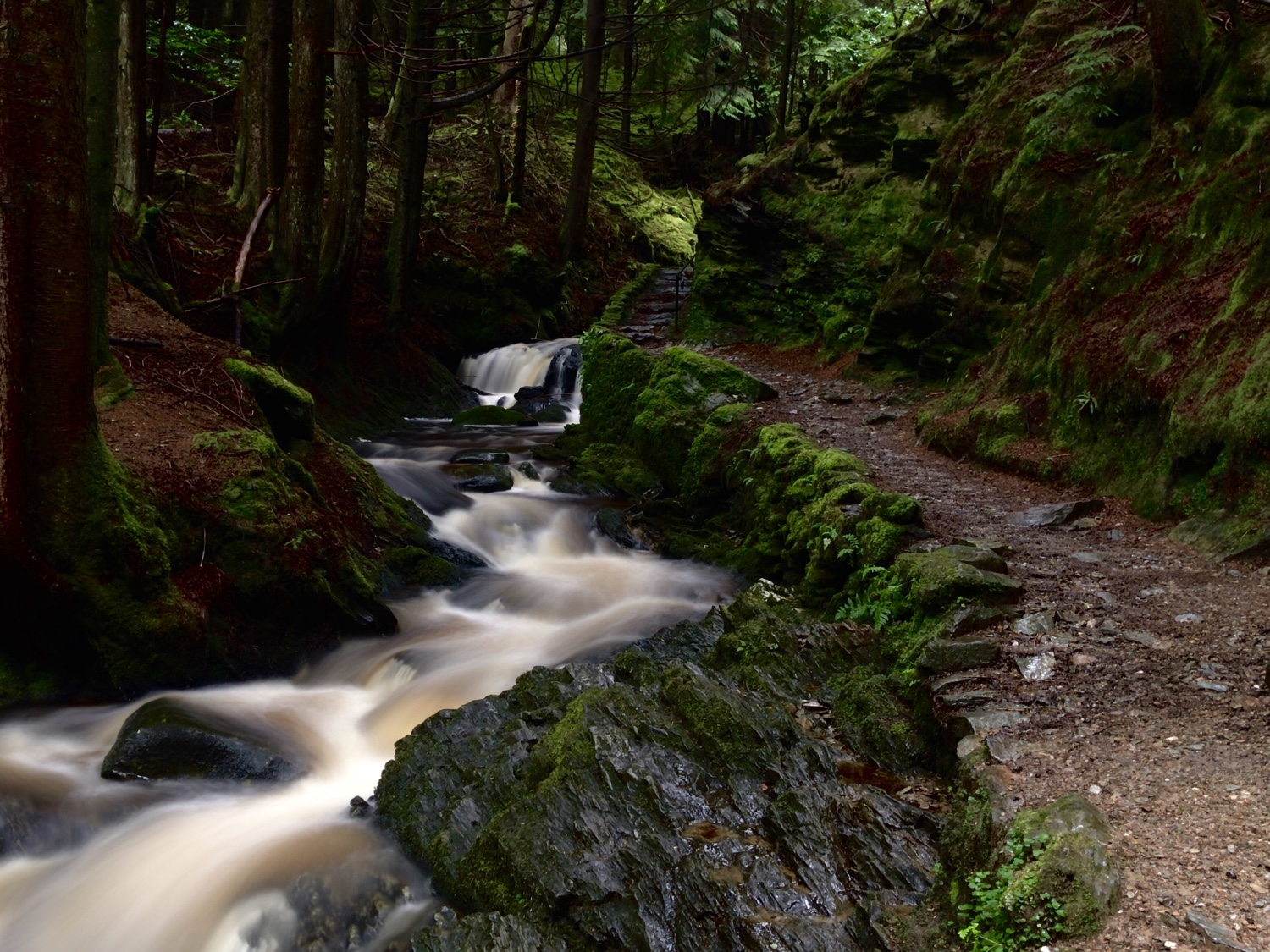
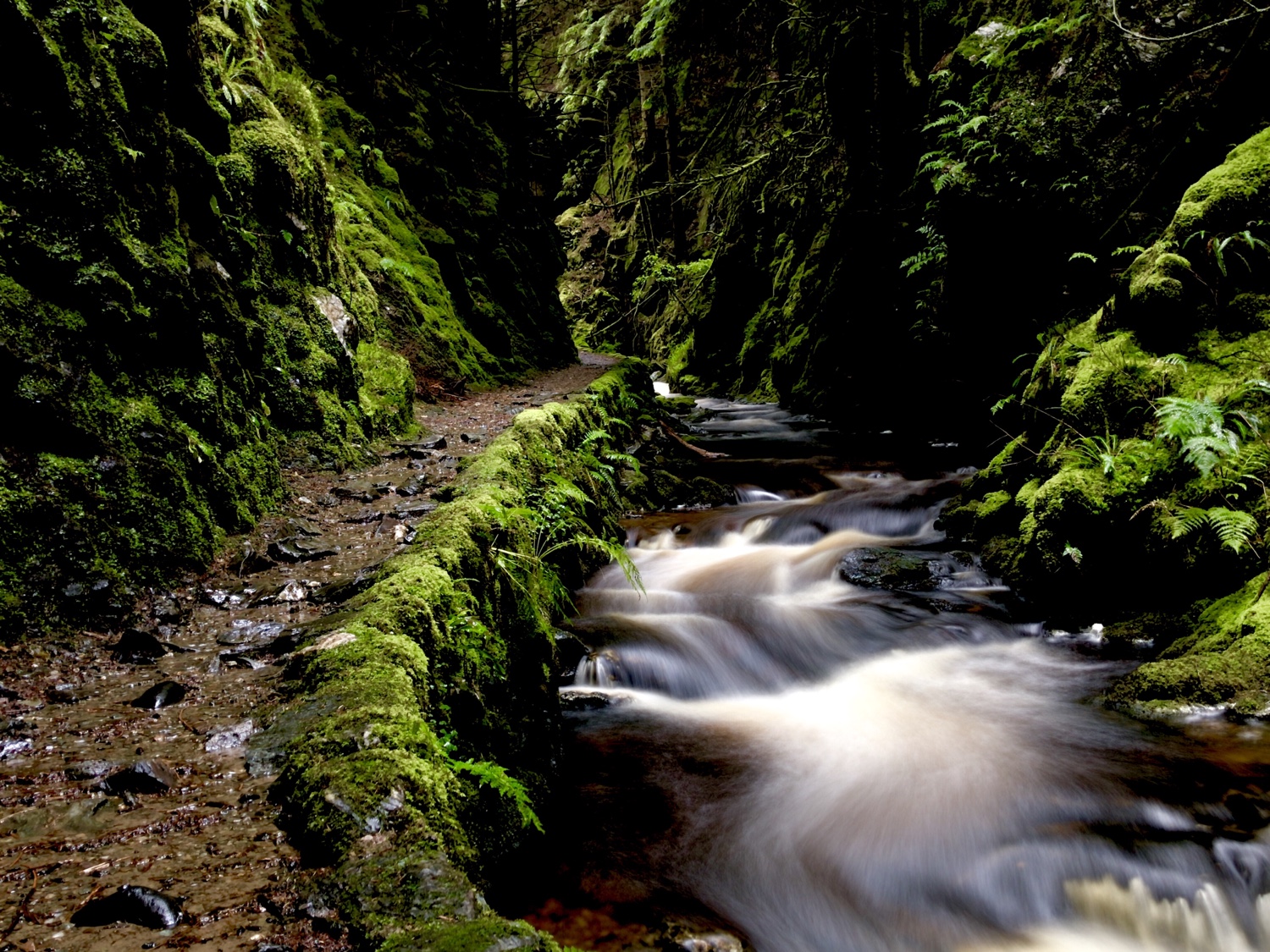
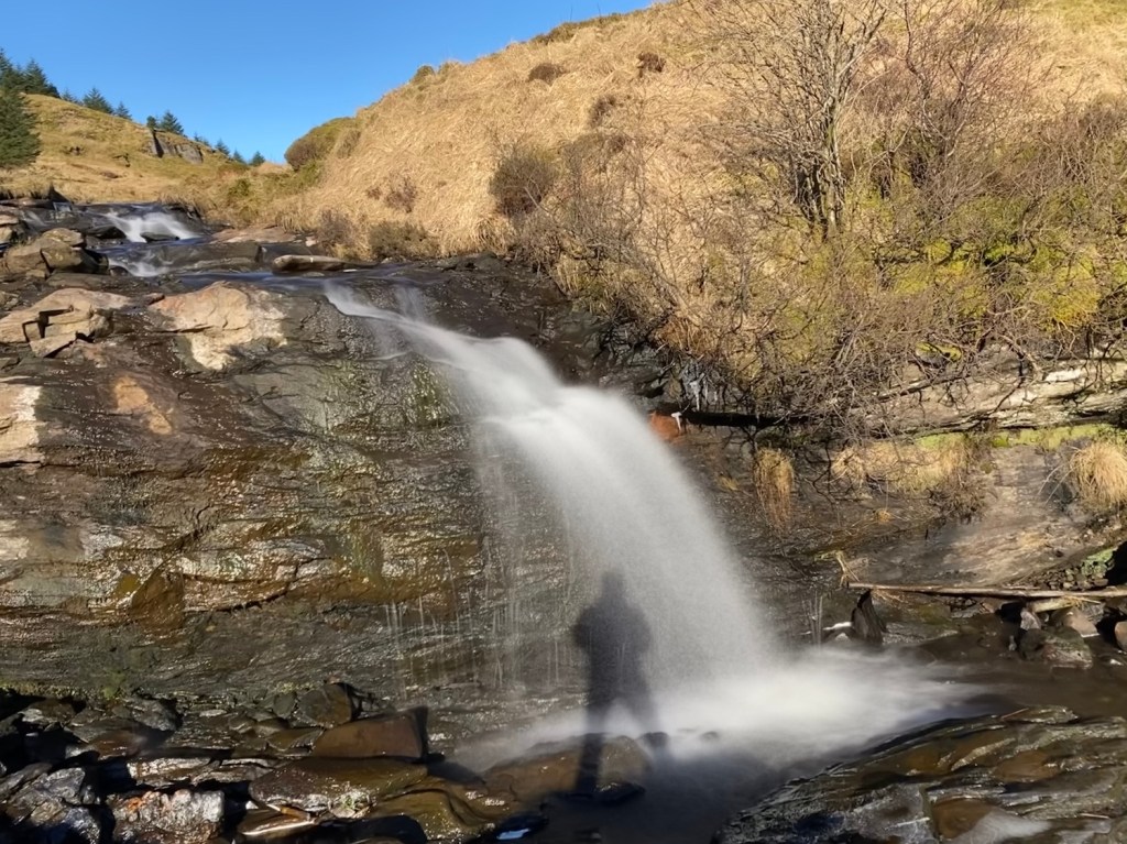
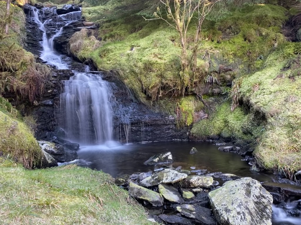
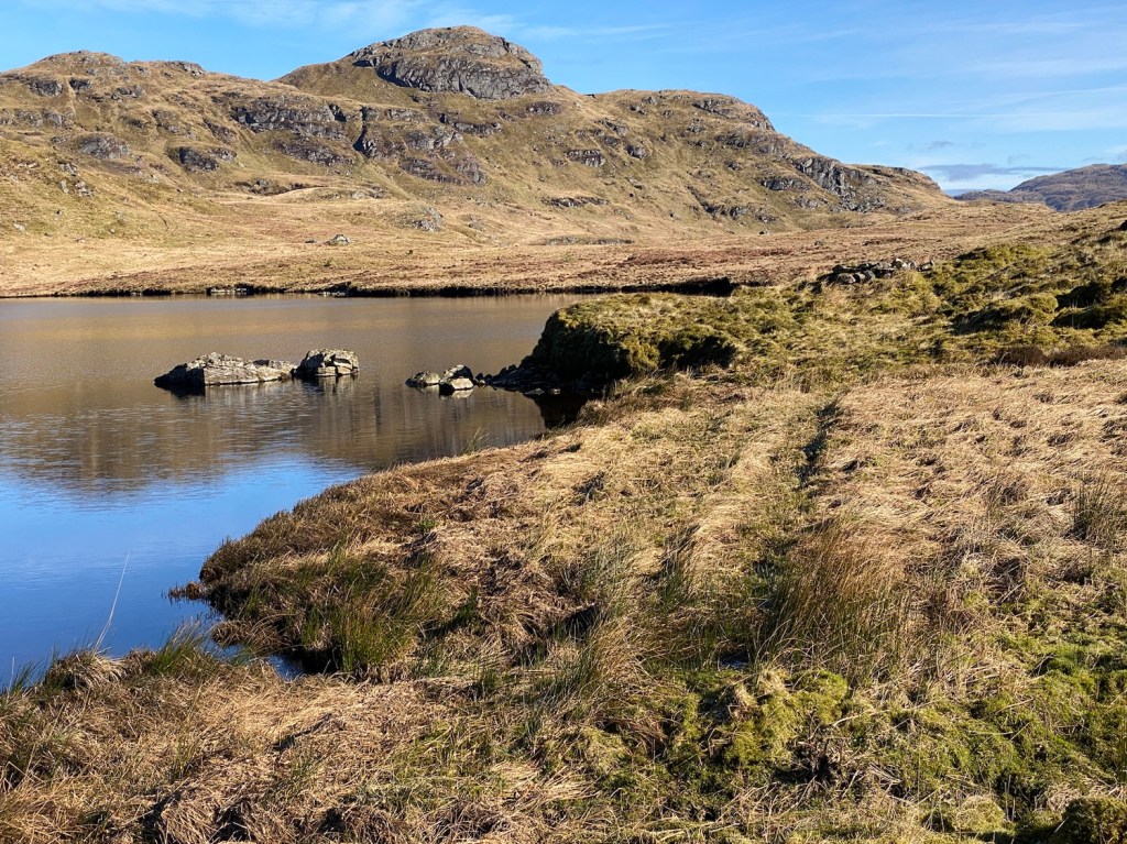
Now, I hope the following photos do the Lochain (Lochan) justice, I think they almost do. Once you’re at the end of the lochan there are two options, one take the multi purpose road ( sounds boring,ha) OR cross the outfall of the lochan and head down the subsequent waterfalls. The ground is wet and tussocky but worth the effort negotiating it!


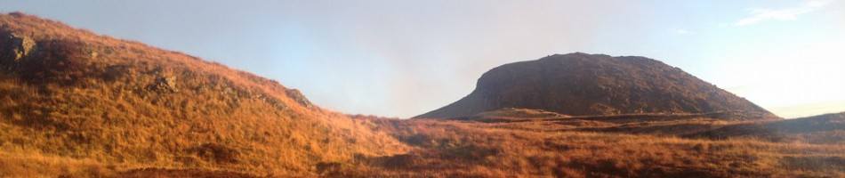
There wasn’t a great deal of water in the falls yet they’re still stunning. Numerous spots for photo opportunities, I even managed out to one of the wee islands to make a coffee.


The climb down from the falls isn’t so well way marked but there is a trodden path of sorts that leads you into the trees then down to the forestry road.


At the end of the road there is a quad track that replaced the firebreak that once existed. This terminates eventually, you leave this by dropping down crossing a wee burn and sucking under a fallen tree. Continuing along the break, a trodden path is evident in parts. Once you reach a burn running across the path you cross it and start climbing through the forest or burn side ( keeping it on the left ).
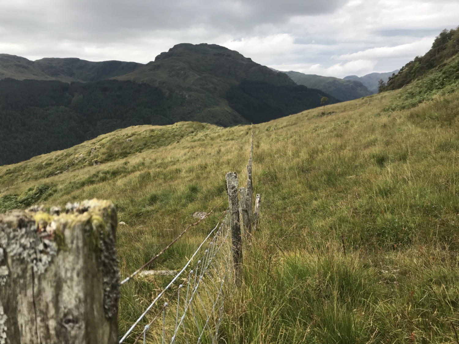
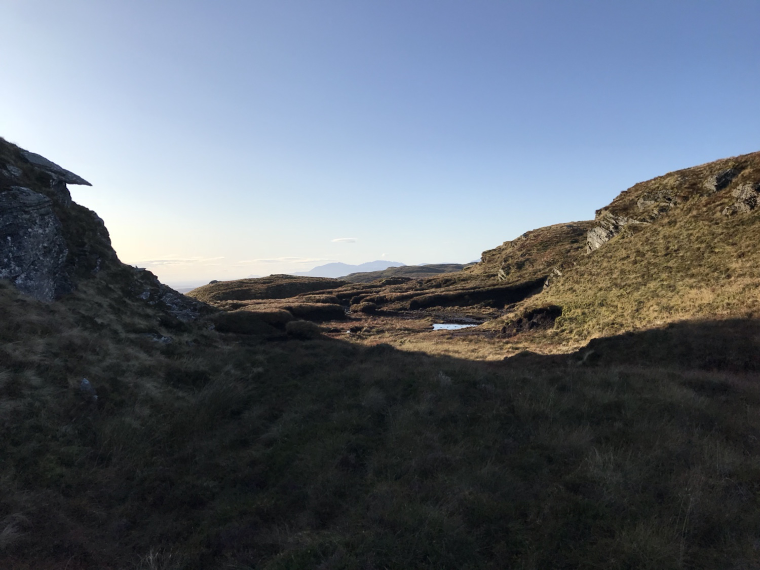
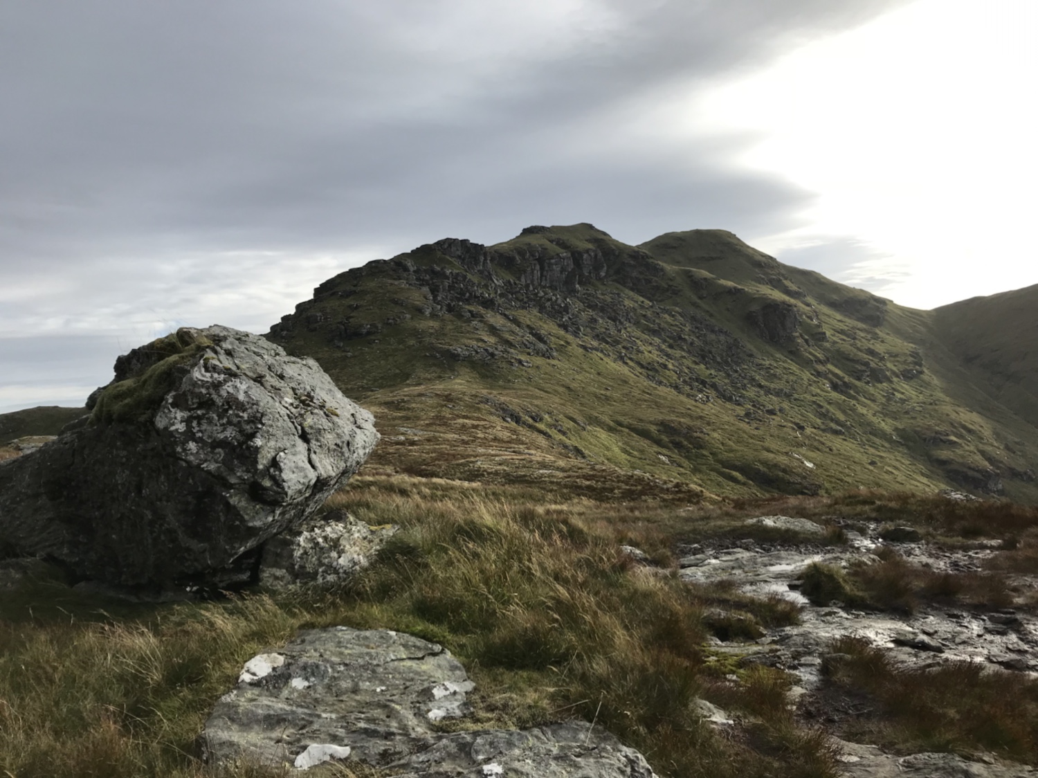
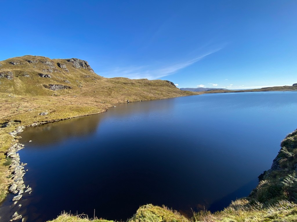
Out the tree line and onto the open hill there is a low fence to step over. Once negotiated you head towards a large rocky face, keeping to the left of it – you have arrived at Lochan Nan Cnaimh, what a place. I chose to circumnavigate the lochan rather than skirt round the northern side to head direct to the bealach.


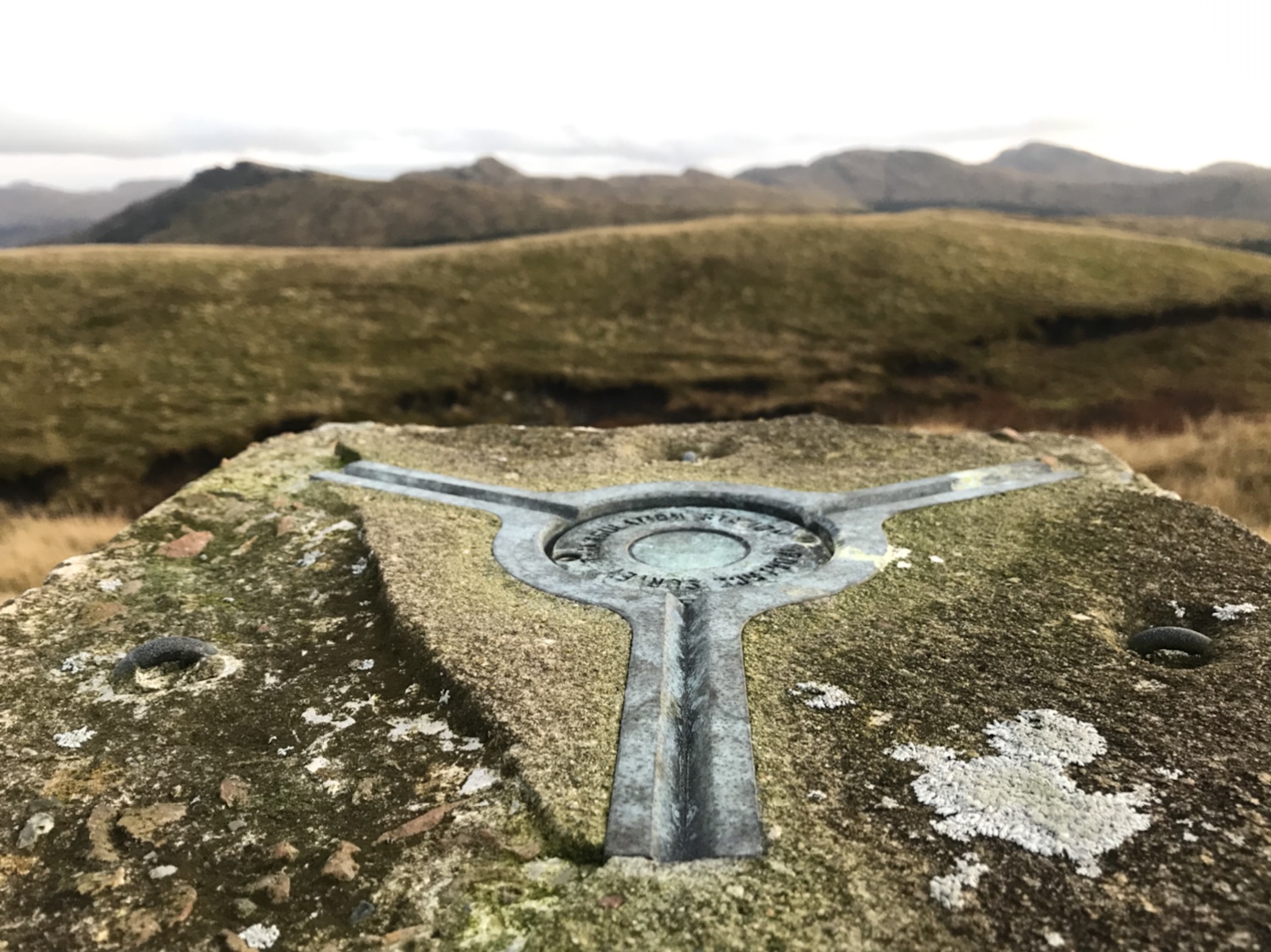
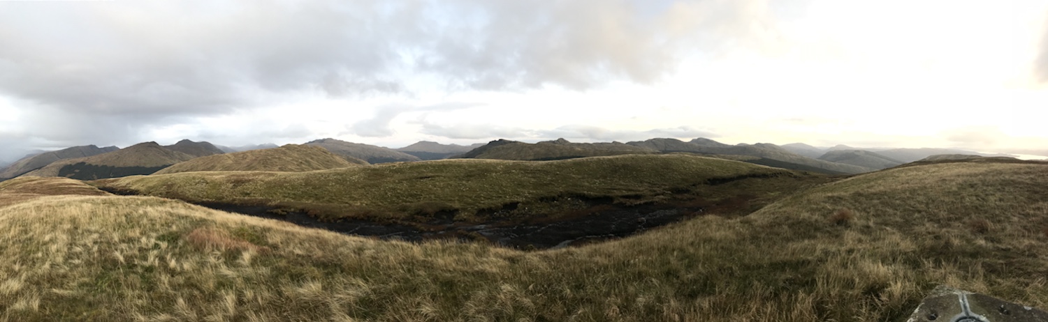
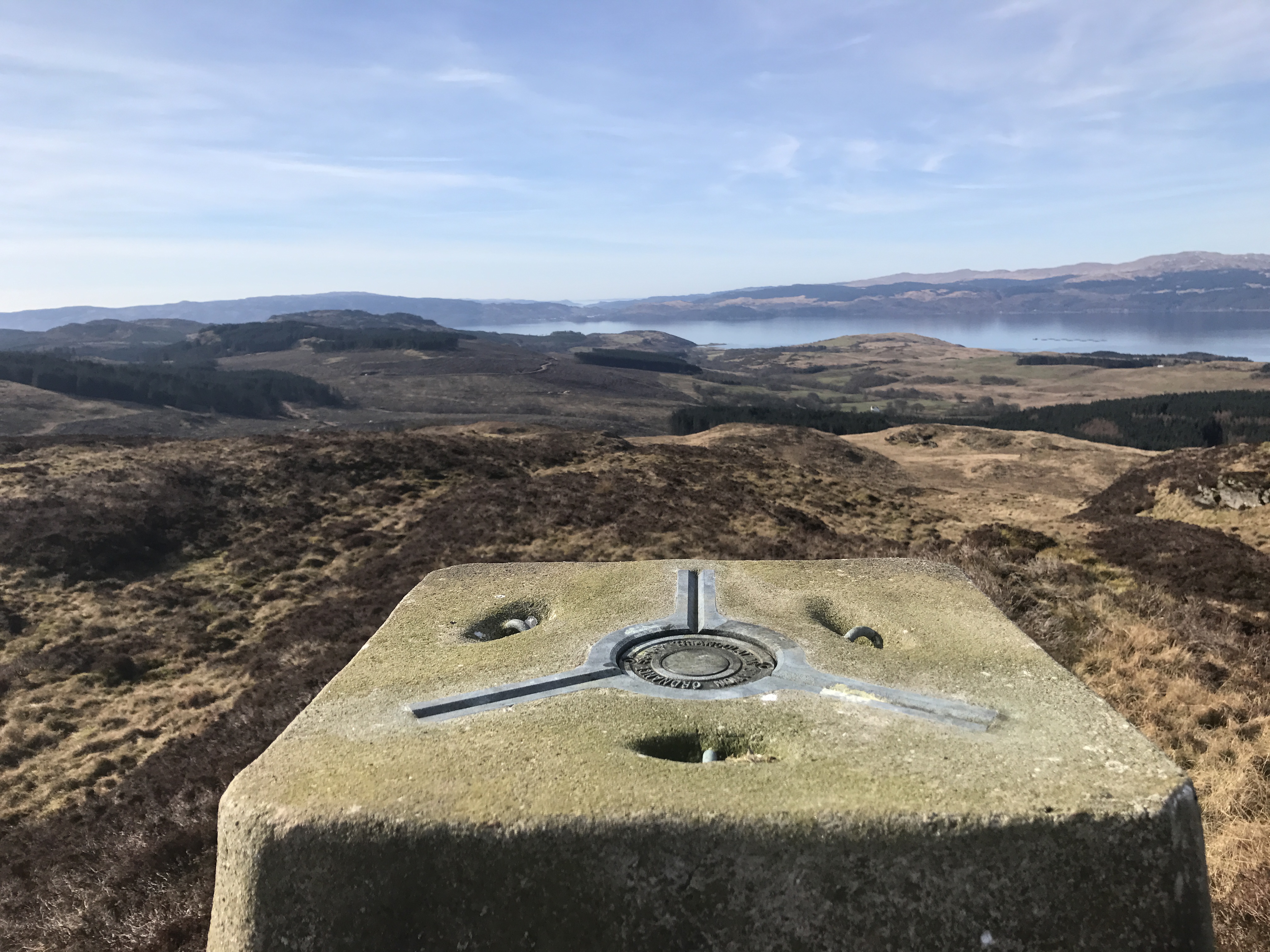
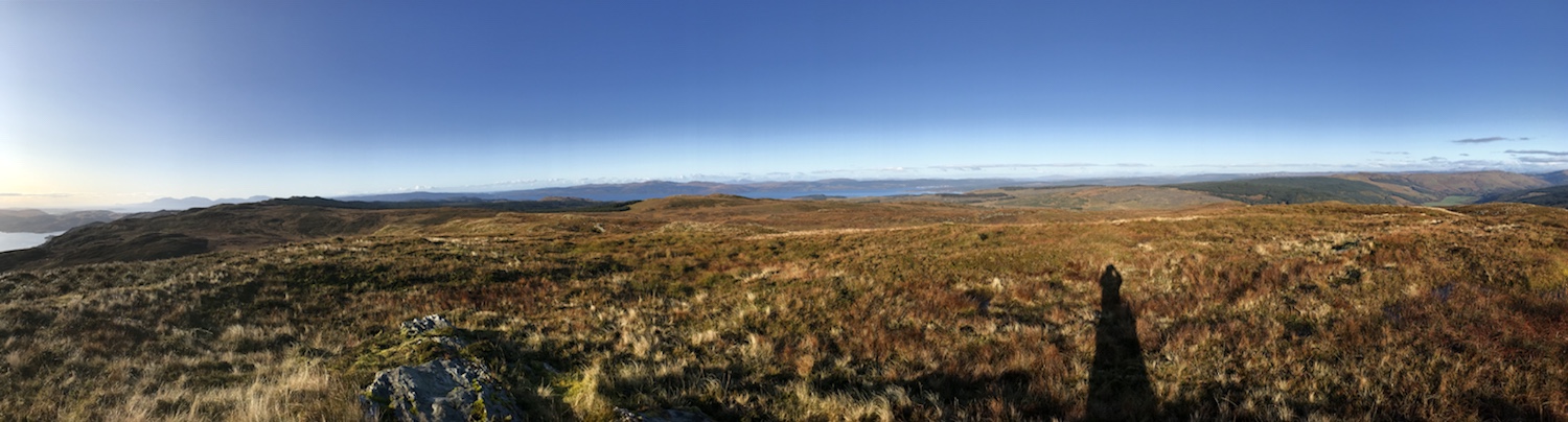
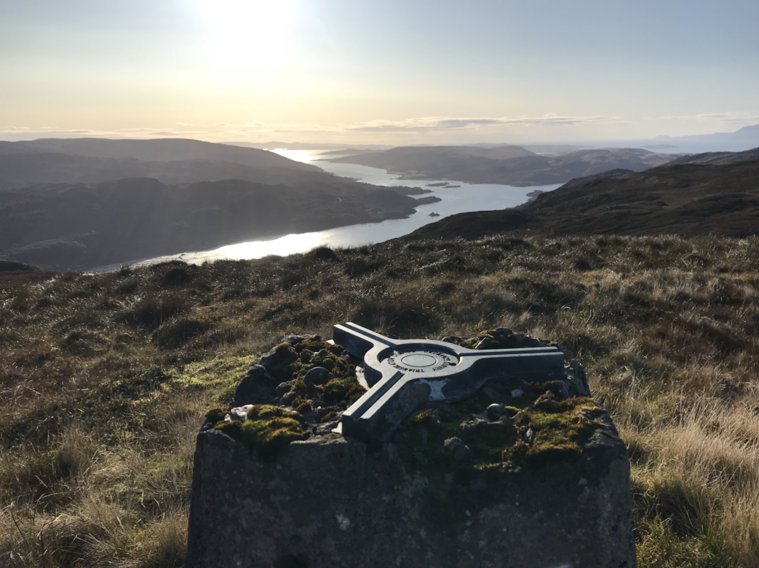
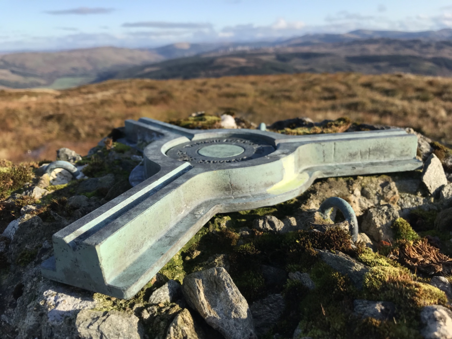
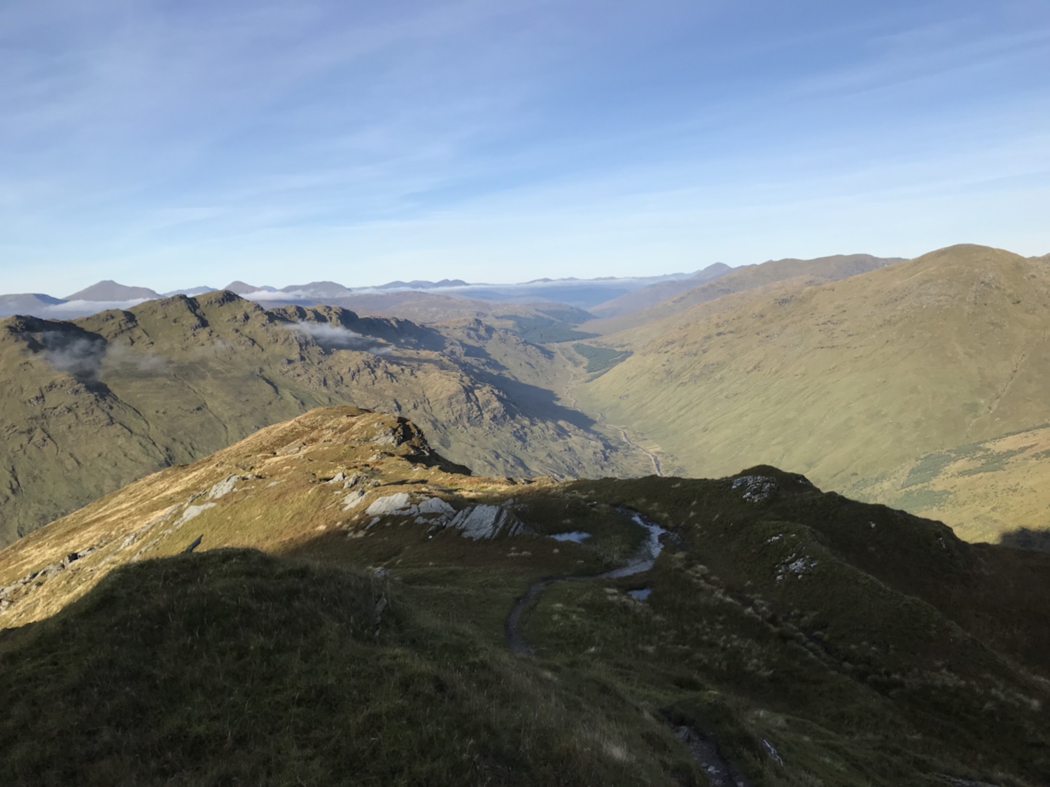
Once round the lochan it’s the hike up the hill to the bealach, no set route just wind your way up, some good spots for further photos (rest stops).

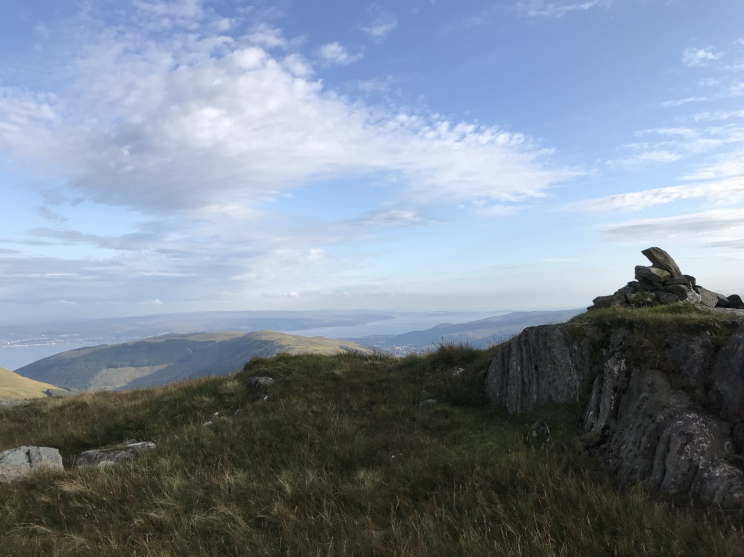
Once on the bealach there are a series of old posts. Initially fence posts but there are a few with faded markers. You can navigate to them in series, most you can see next one to head for. The direct path isn’t always the best, it’s pretty boggy up there but as long as you’re progressing in the right direction (south west) that’s the main thing.

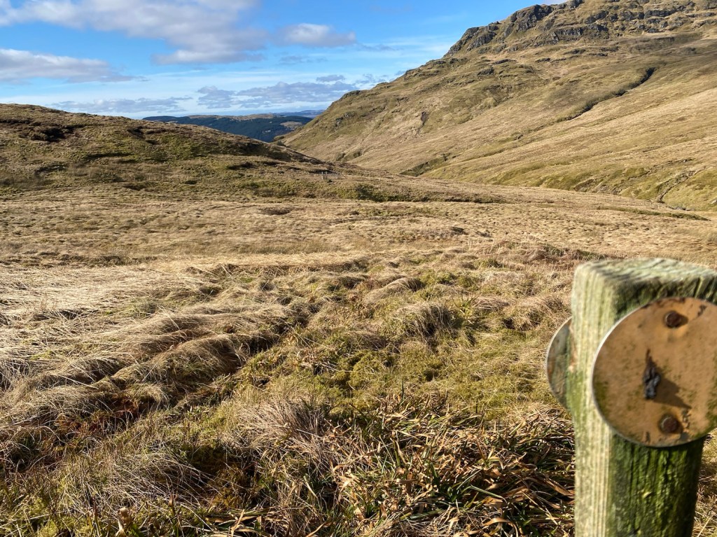
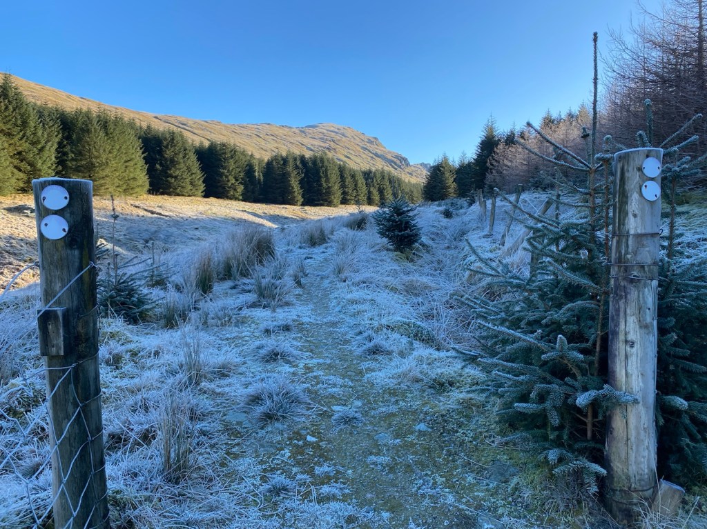
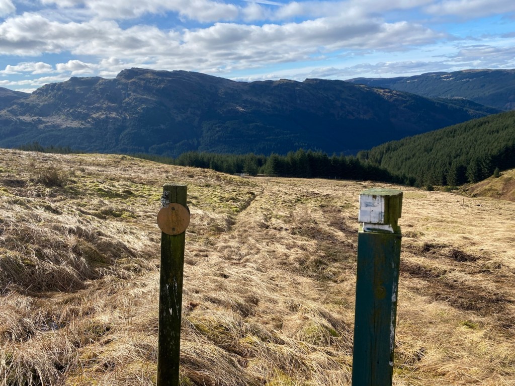
Once across the bealach you need to pass through a plantation. Gated access/exits either side. There are marker posts are evident. Just before reaching the gate there’s a steep wee gully to conquer, it poses no real issues with its grassy banks and narrow stream.


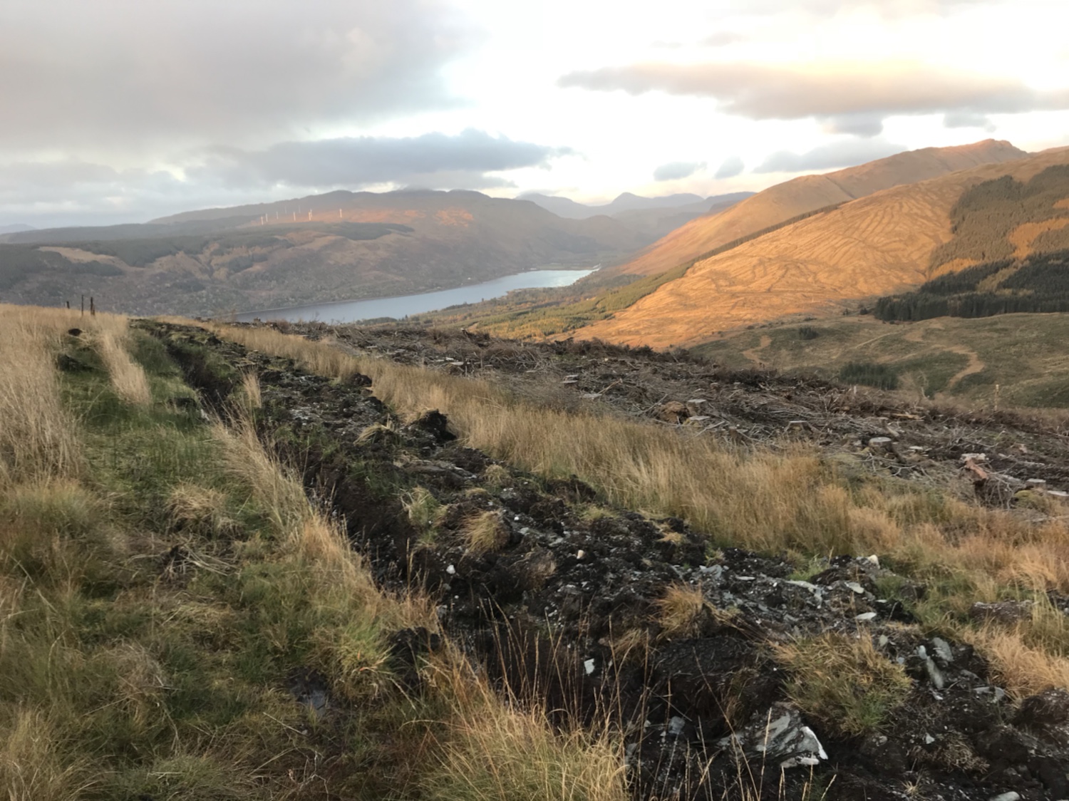
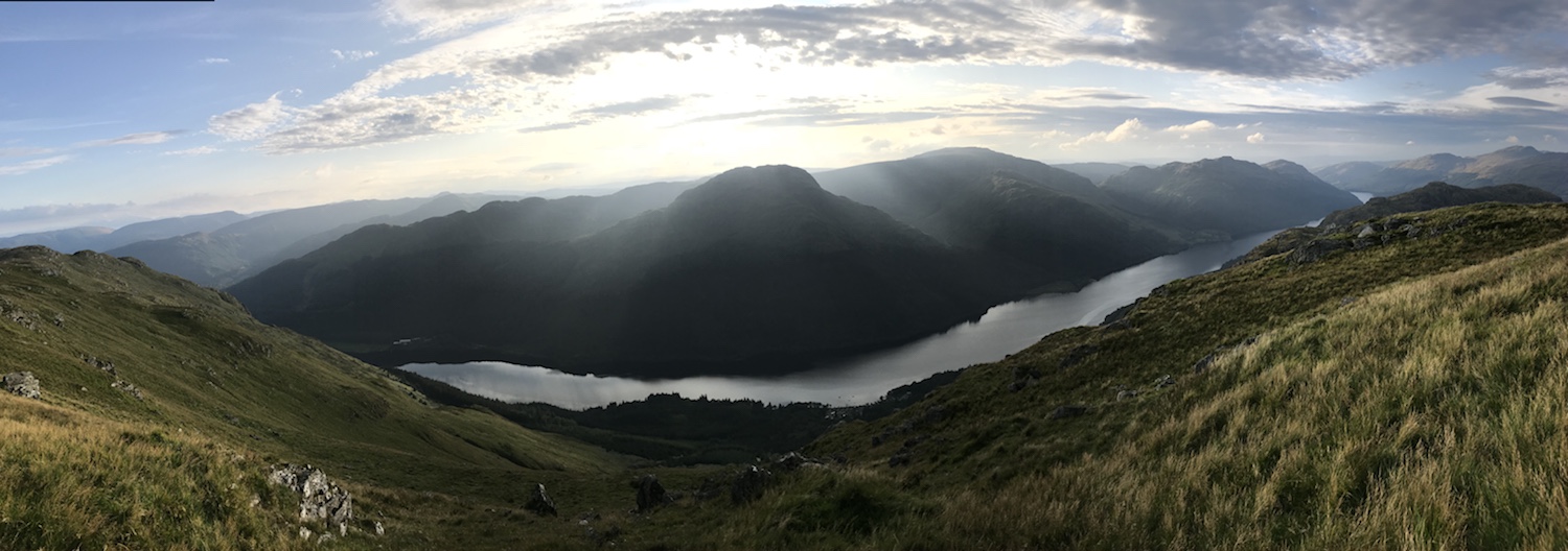
All in all a great walk, a great way to spend a day on the hills. Take food n drink and enjoy the scenery. 👍
Not seen enough? I took some videos of the route and stuck them on YouTube
If you have 20 mins spare watch this 🍿
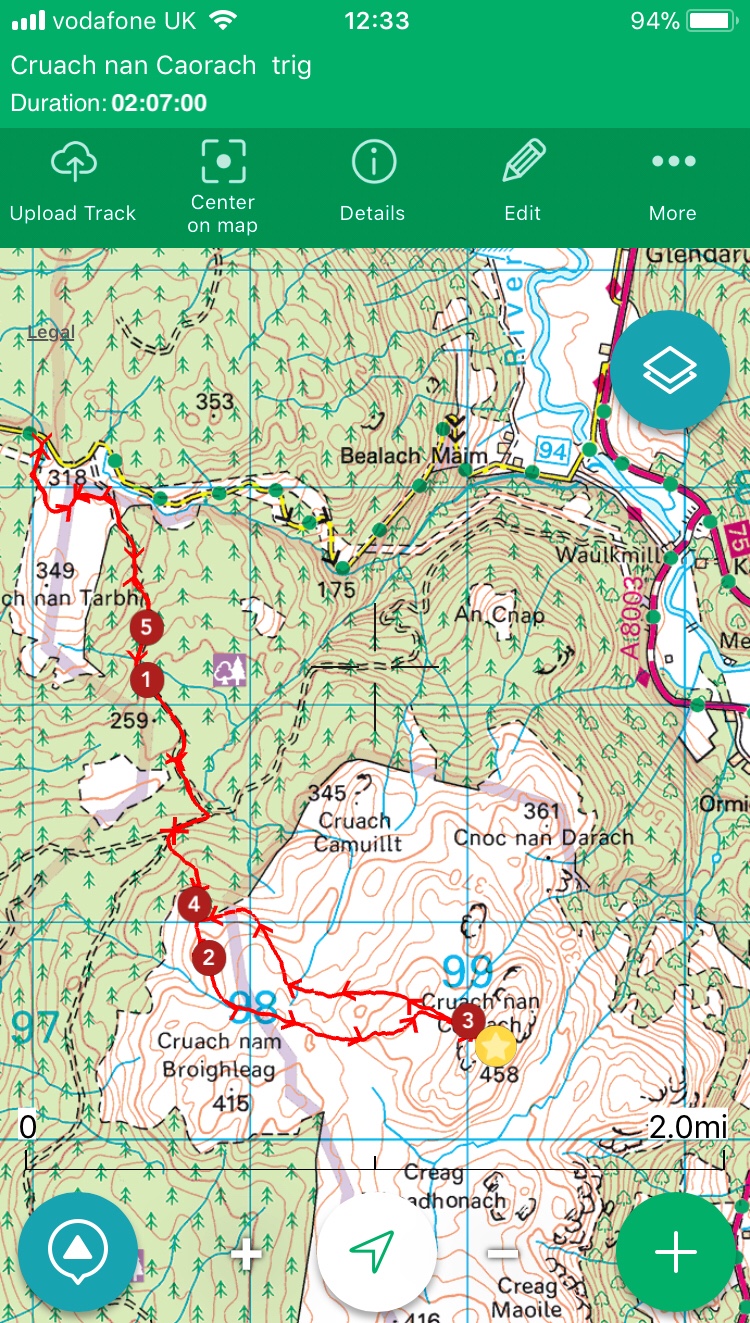
Map on Outdoor Active HERE