Explore Cowal

"Take nothing but pictures…leave nothing but footprints..kill nothing but time".

  • ‘Route Cards’
  • .Cowal
  • Bike Cowal
  • Kayak / Canoe Cowal
  • Walking Cowal
  • Wild Camp Cowal
  • ‘Useful Links’

An Creachan and its Trig Point. 

Posted by explorecowal on May 11, 2017
Posted in: Trig Point, Walking. Leave a comment

An Creachan at 580 mts was sure to provide some great views. 

6 miles:3 Hours


Have attempted this trig point from numerous approaches, another attempt was due. 

Parking on the Glen Massan road and heading for Corarsic farm,once over the bridge a sign pointing left aids navigation to the top of the glen. The track easily followed and there are marker posts en route, eventually leaving the track and into an opening in the woods. 


The track seemed to terminate at the sign, despite the information provided. 


After looking about for a marker or any evidence of a trail I decided to head up the burn, ducking under trees and crossing the burn heading to the open hill. Prior to emerging out of the trees a found an old path with some tape tied to the trees, this led to the open hill. 


Once out the trees it was a straight forward ascent, heading straight up the hill turning left to pick up an old fence line to the summit and its Trig. 


The views over Glenmassan the Holy Loch and beyond were stunning, well worth the effort. 

On return thankfully I’d taken note of where I’d emerged from the forest i picked up the path. Curiosity got the better of me so I decided to try follow the path with the taped branch markers. 


I got to the point where there was no tape but still a track, instead of heading down hill in the direction of the ascent track I followed the path. 


It never led to much and it started to climb again. Instead of retracing my steps to the last bit of tape I decided to push downhill through the woods till I got the the track, it was torture,ha. 


Made it back to the track, battered and bruised and made my way back to the car. 

Plan to return to confirm the best route and perhaps take a hand saw or axe to clear a/the path. 

The route I took! 

Cowal Circular – Argyll and the Isles Explorer 1. 

Posted by explorecowal on April 10, 2017
Posted in: Bikepacking, Biking, forestry commission, wildcamp #microadventure. Tagged: Argyll, bike, caravan, Cowal, cycle, Explore, glendaruel, isles, park. Leave a comment

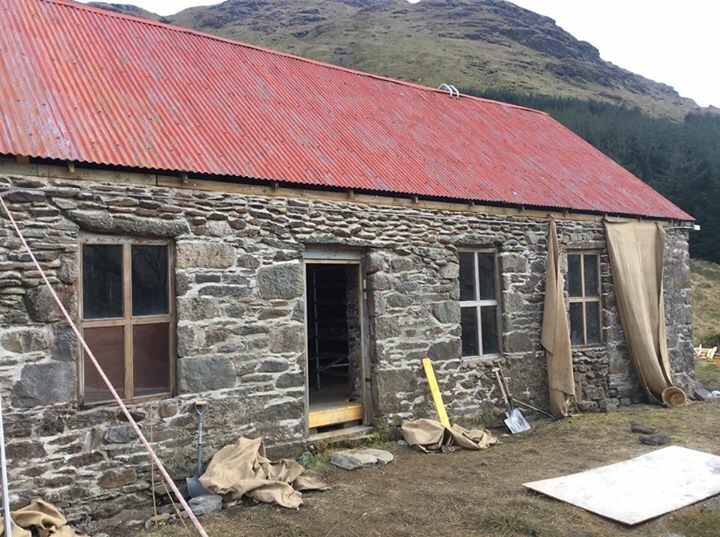
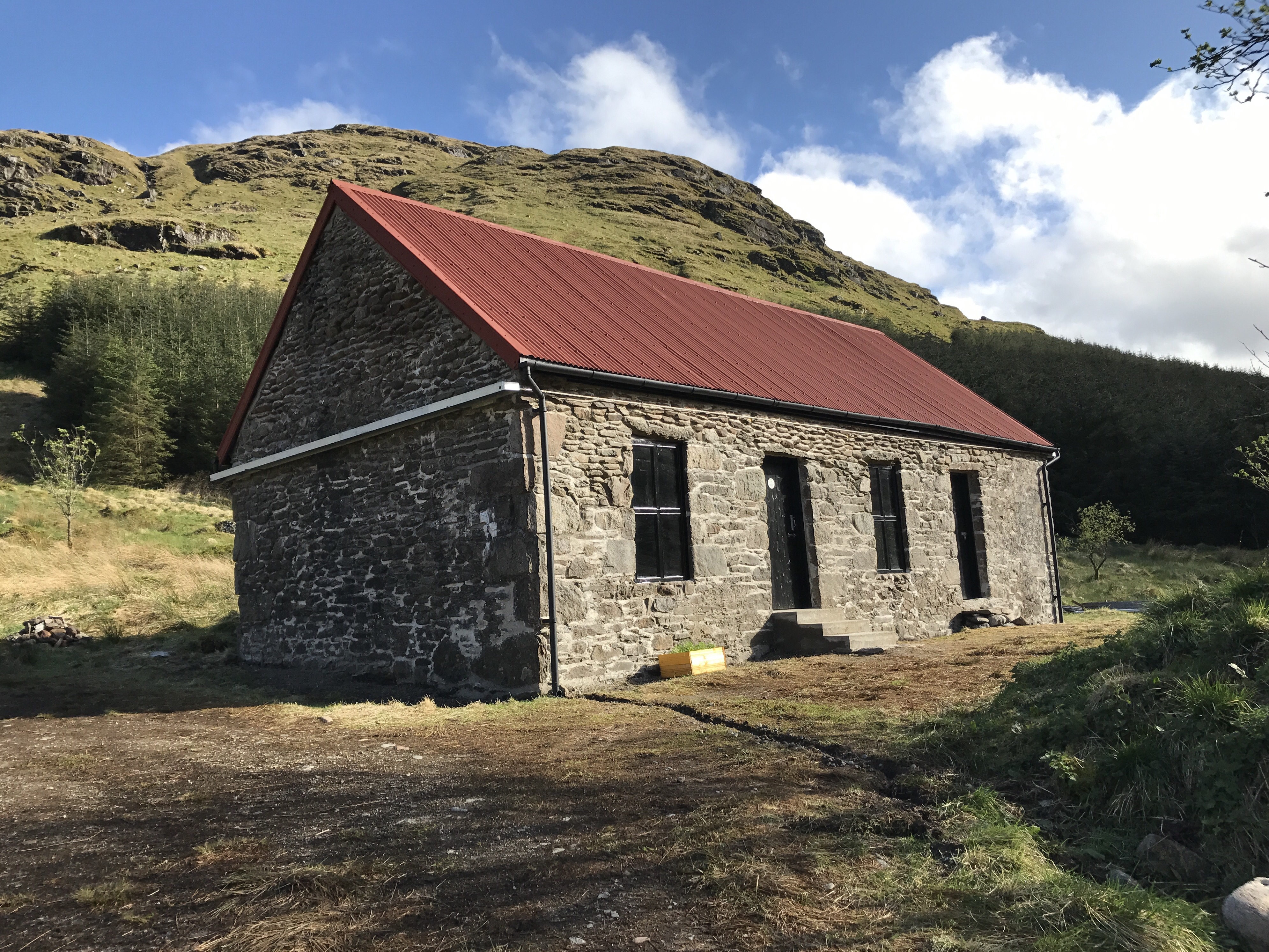
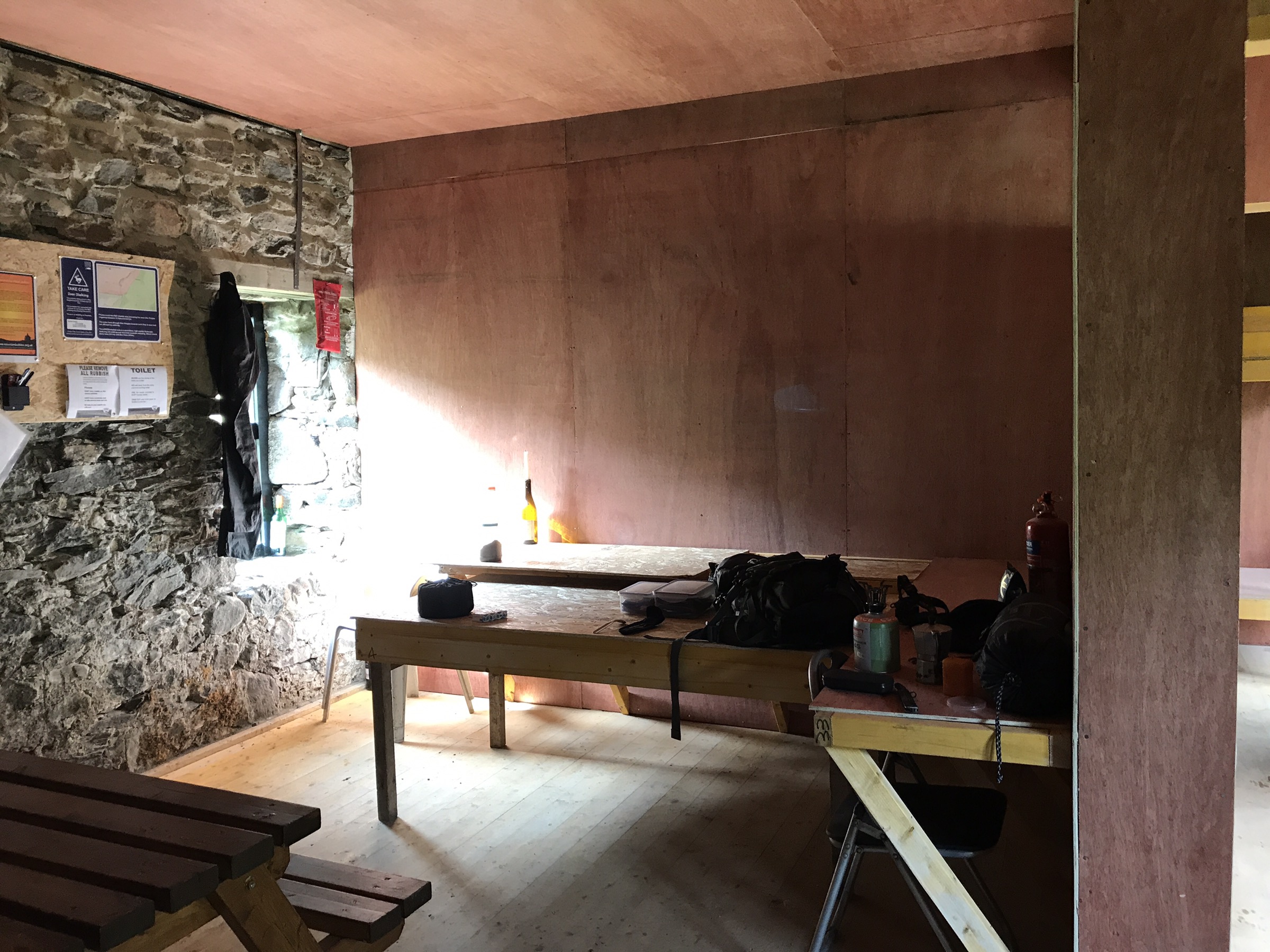
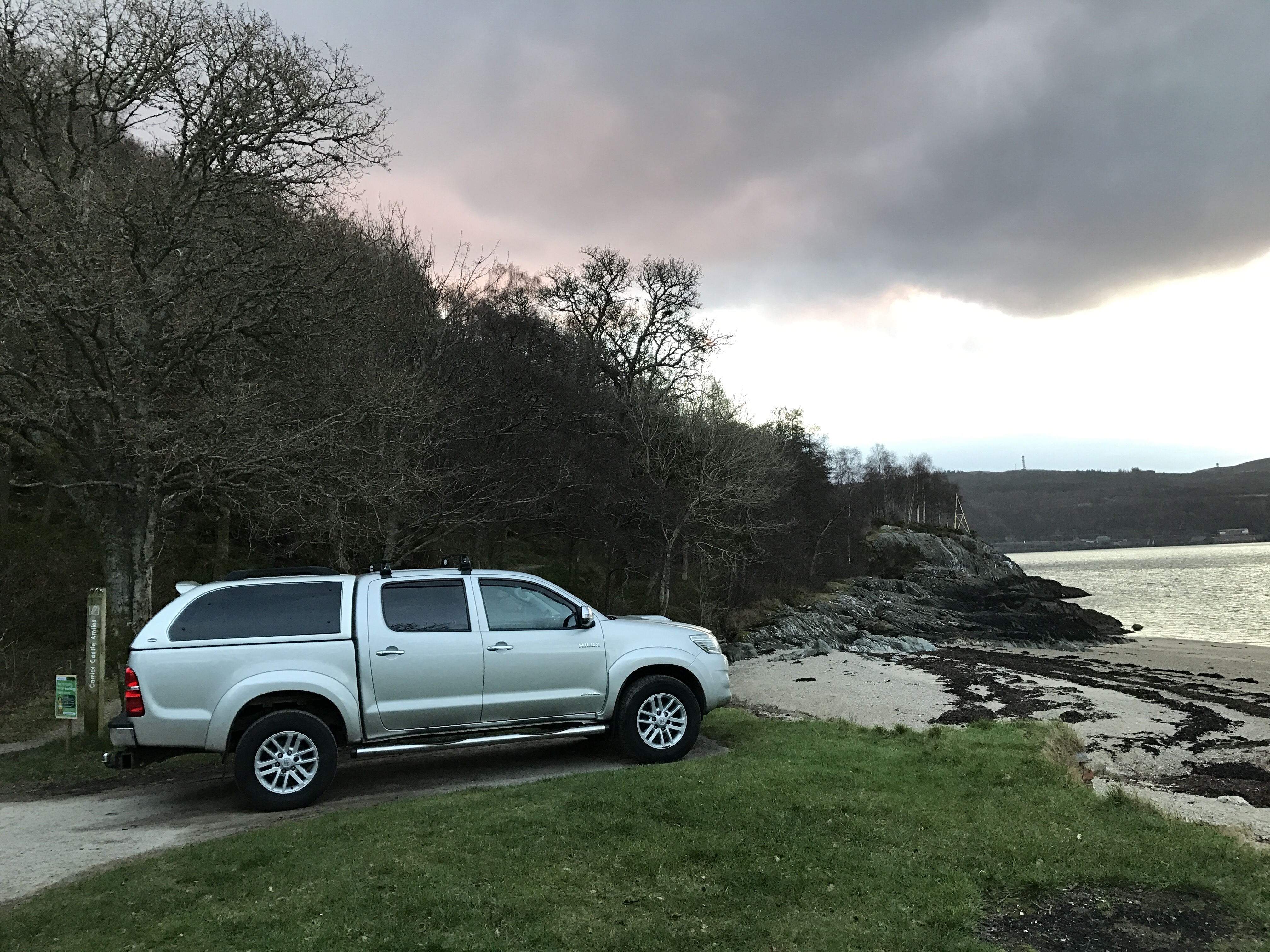
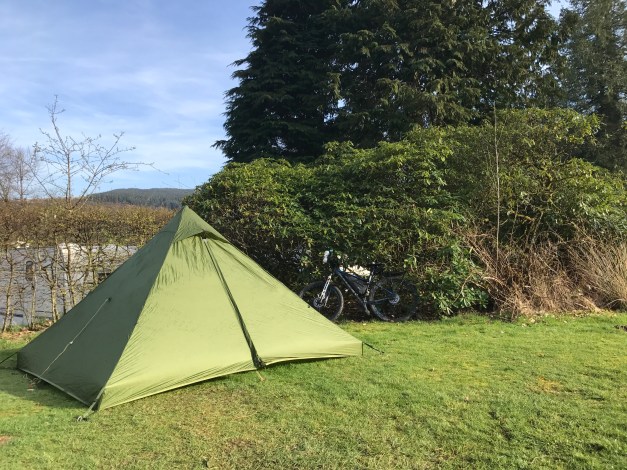
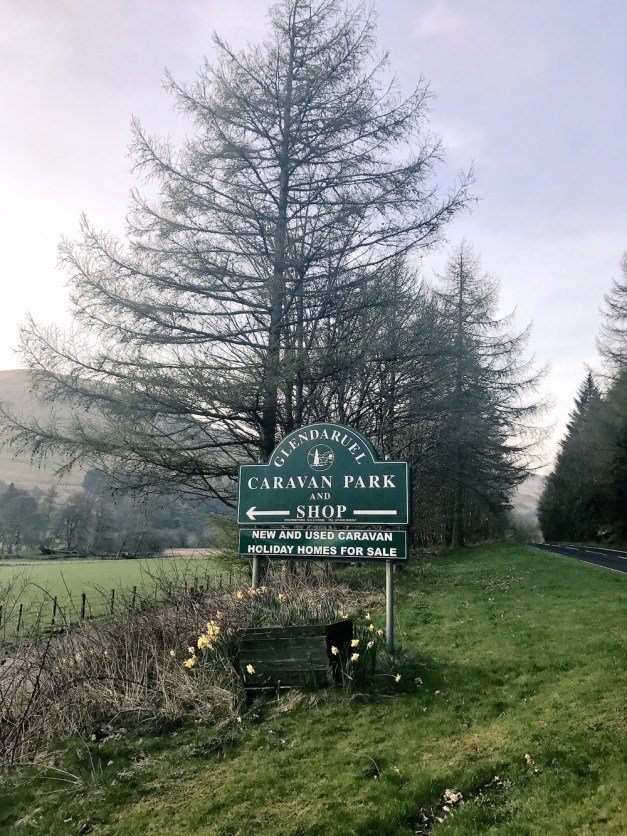
 Taking to the open road, a self-propelled and self-sufficient trek. An opportunity to absorb the surroundings at a moderate pace. As opposed to going totally off grid, a night’s camp was enjoyed at the Glendaruel Caravan Park where there are facilities available such as toilets and showers. There is also an undercover camper’s shelter with, hot and cold running water.
Saturday, Outward Bound: Ardnadam Pier – Glendaruel Caravan Park (26 miles).


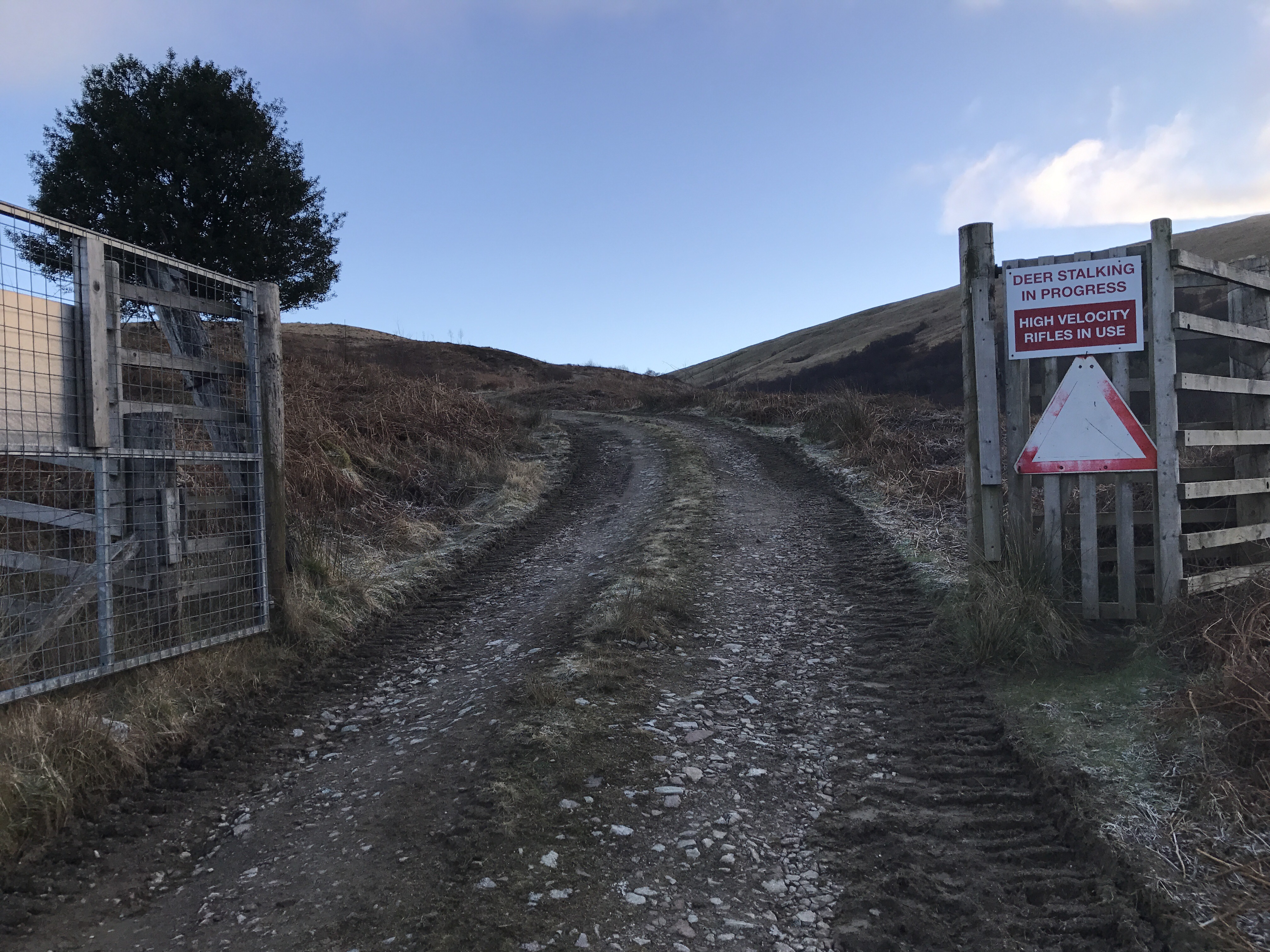
A mix of approximately 70% Forestry Road and 30% public road (A and C class)

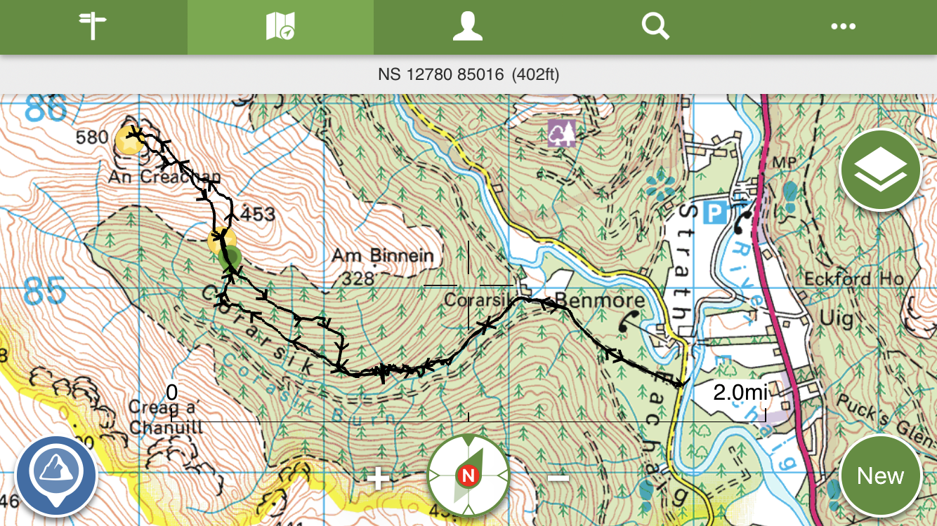
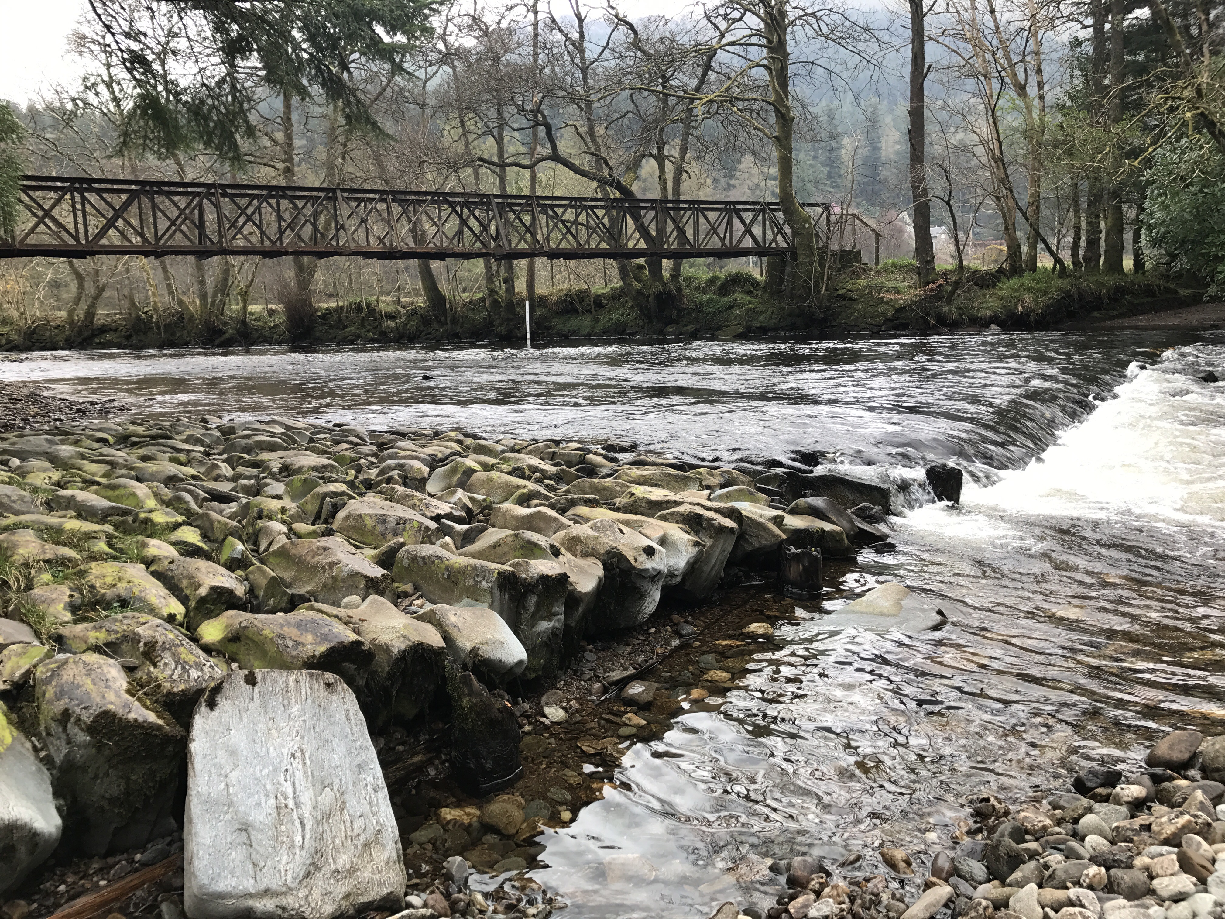
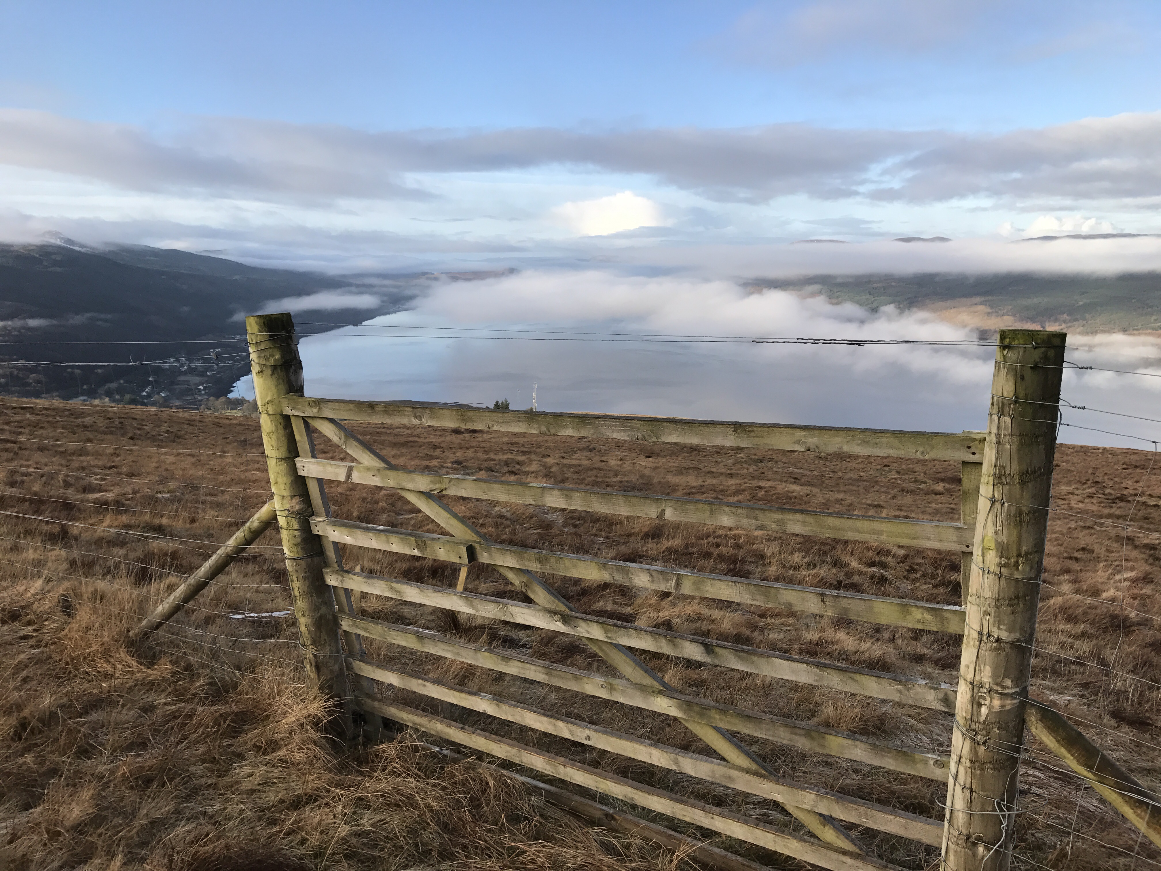
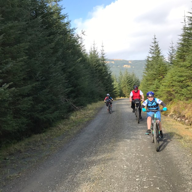
A circular route starting off from the shores of the Holy Loch (free carpark at Ardnadam Pier), taking to the public road via the A815 and the Glenmassan C class road. Leaving the public road prior to Deer Park and opting for the forestry road that follows the River Echaig to Benmore Gardens with its Café – approx. 4.3 miles from start.


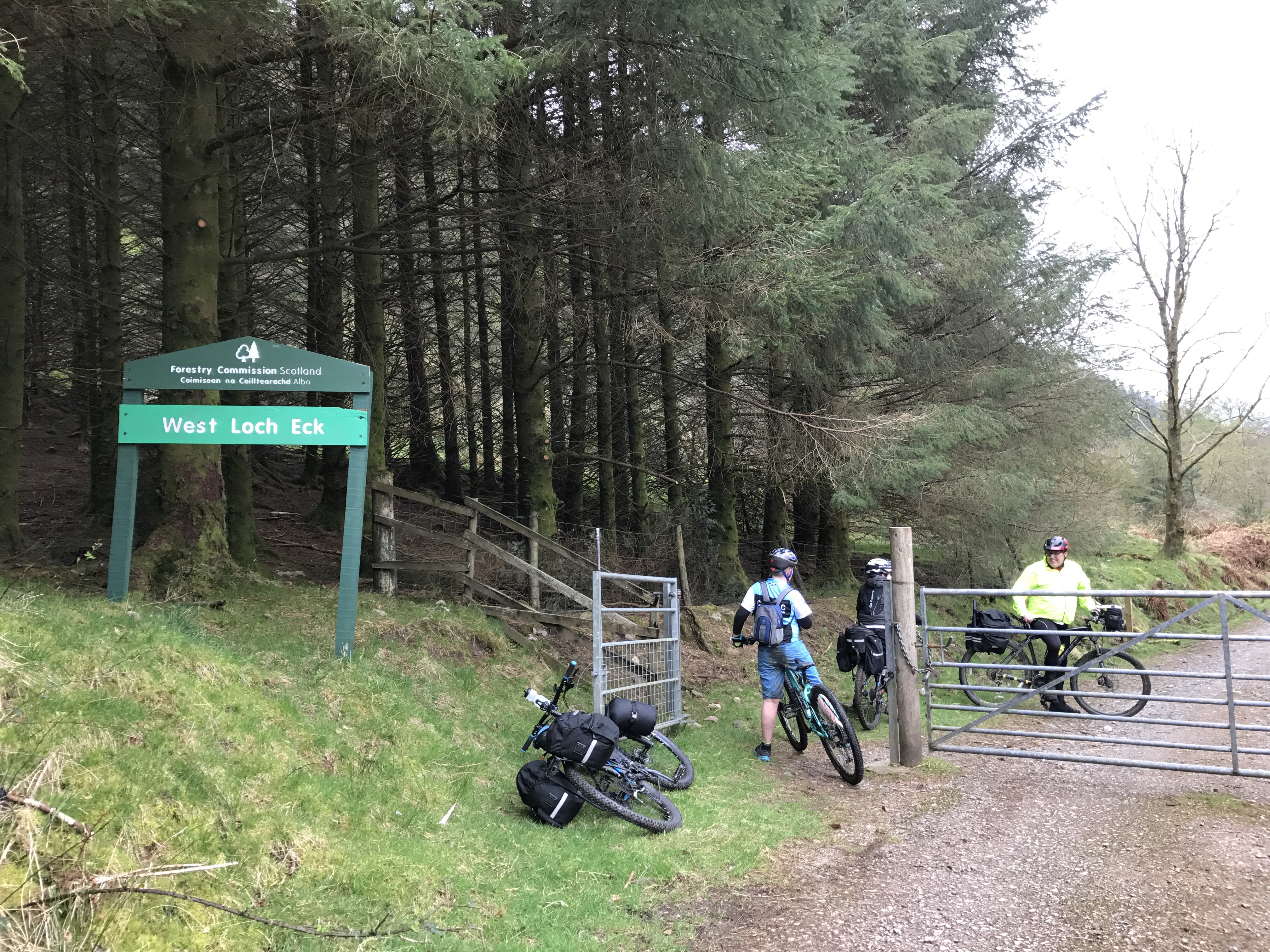
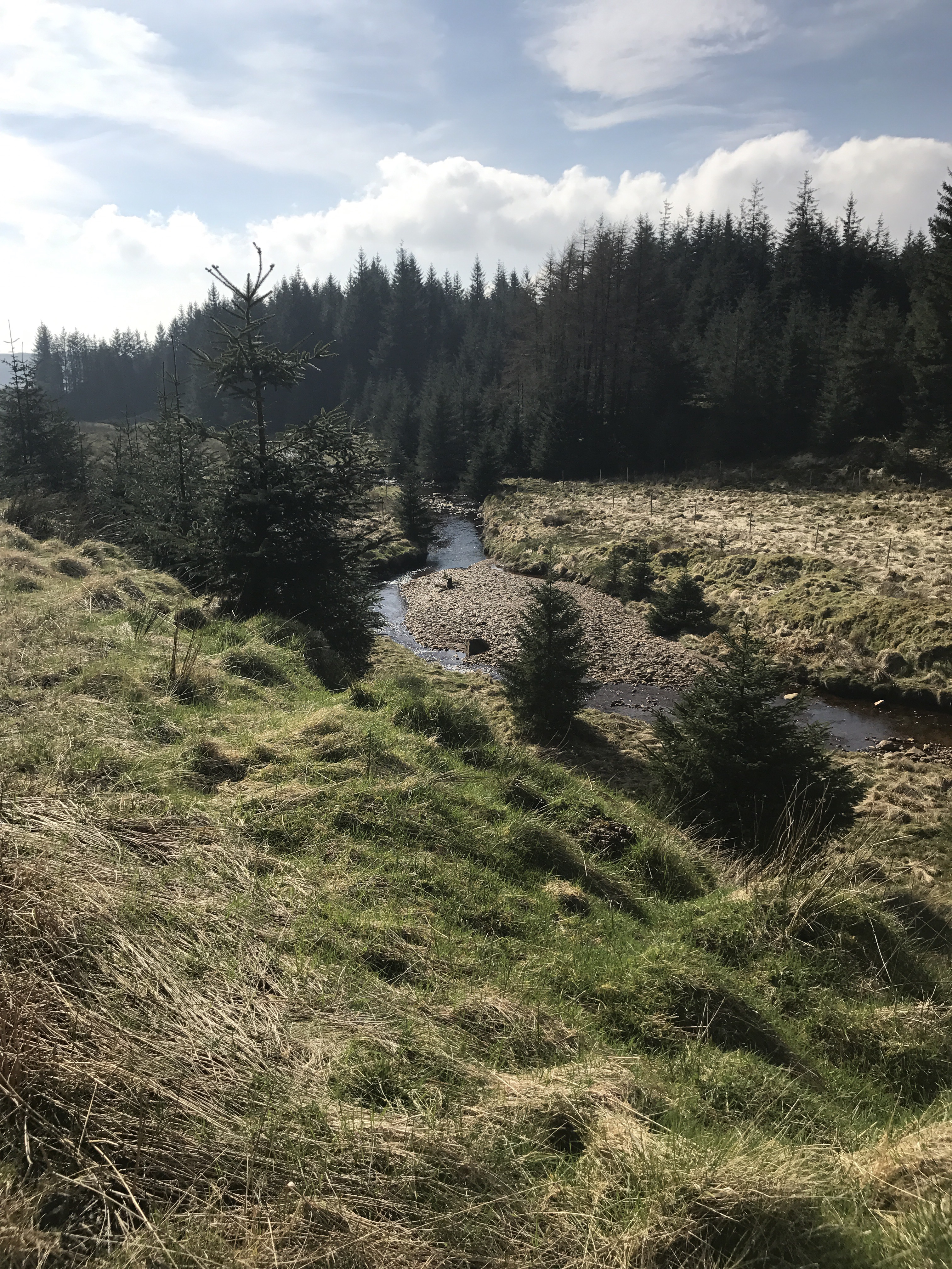
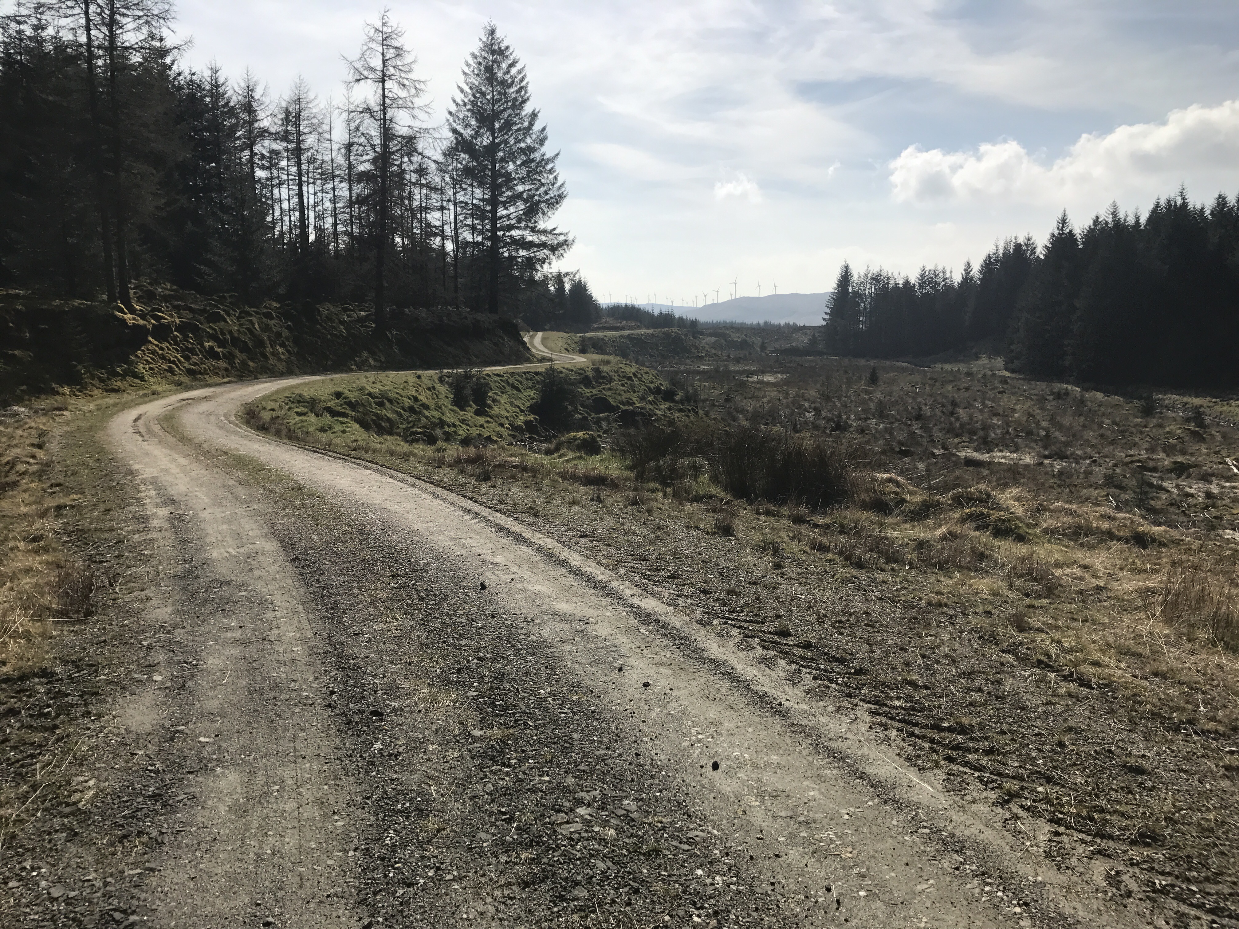
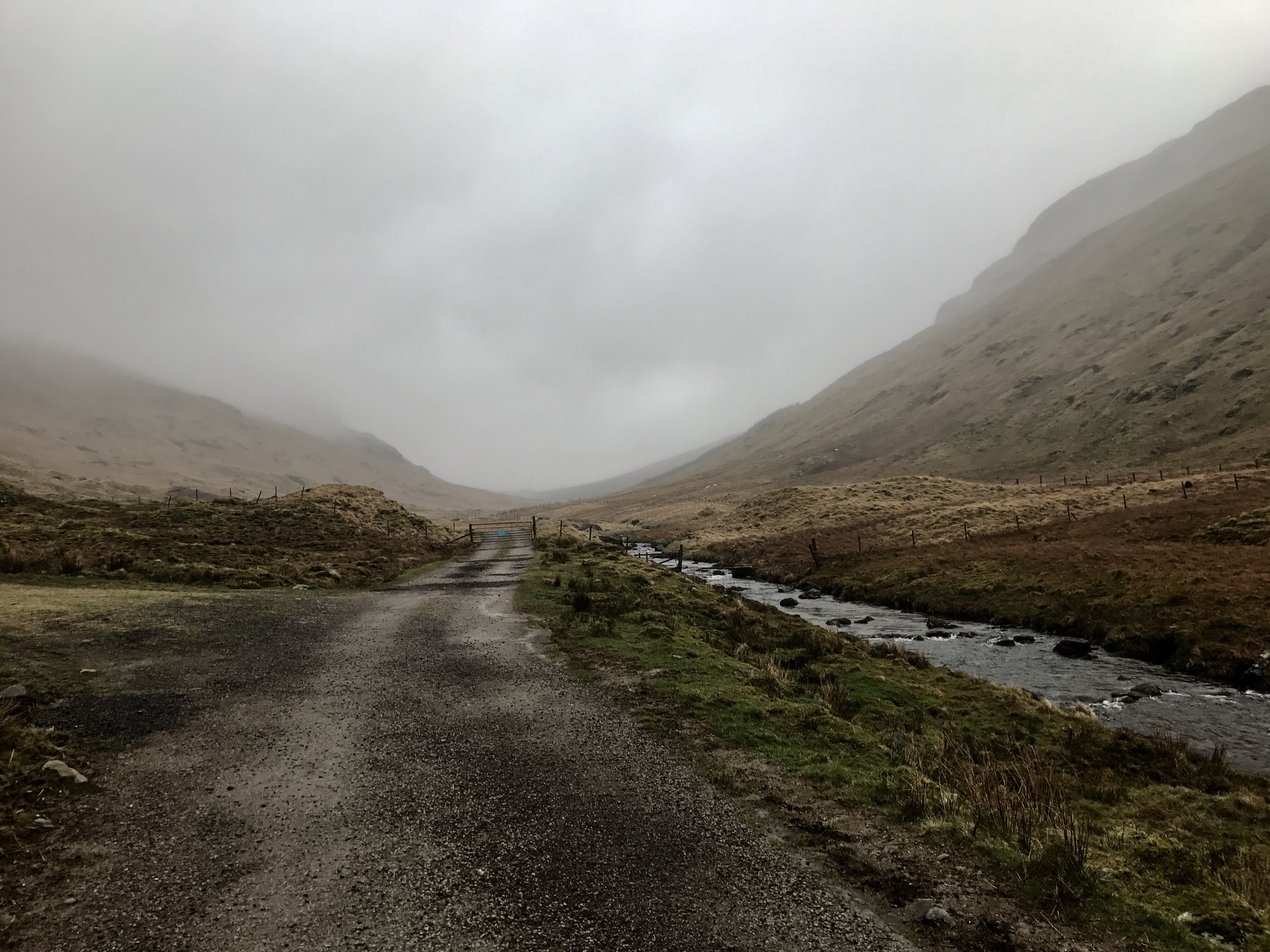
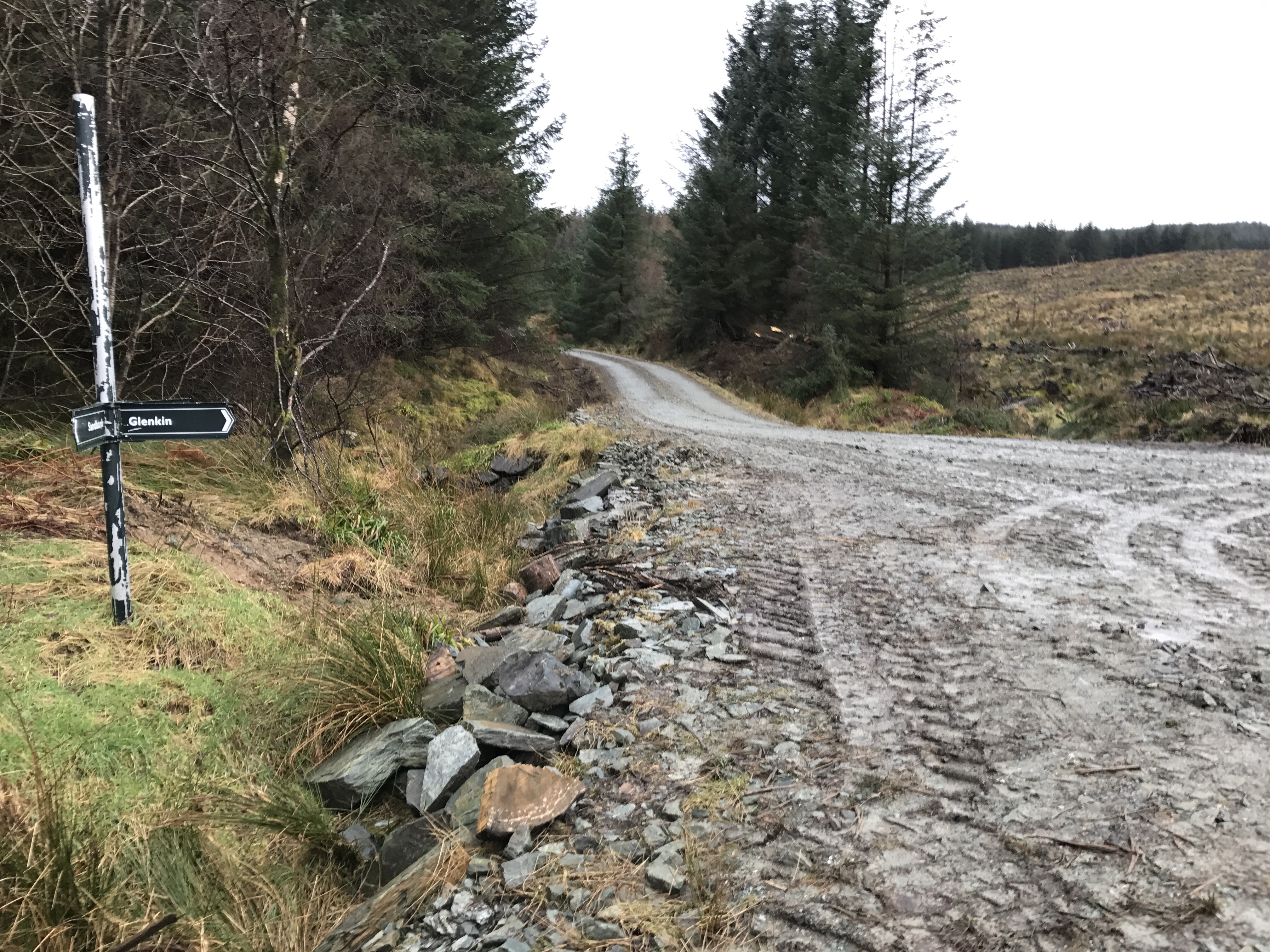
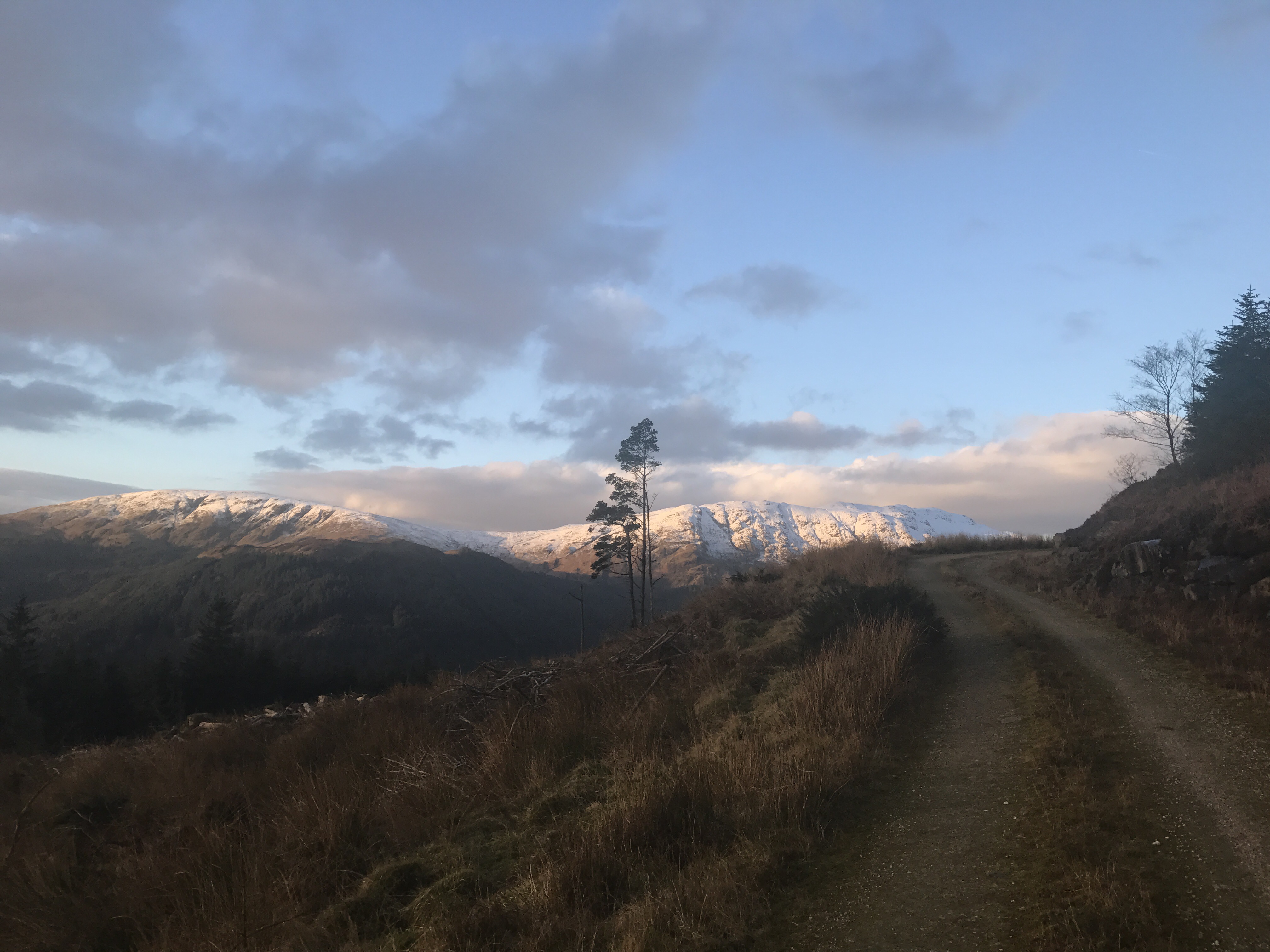
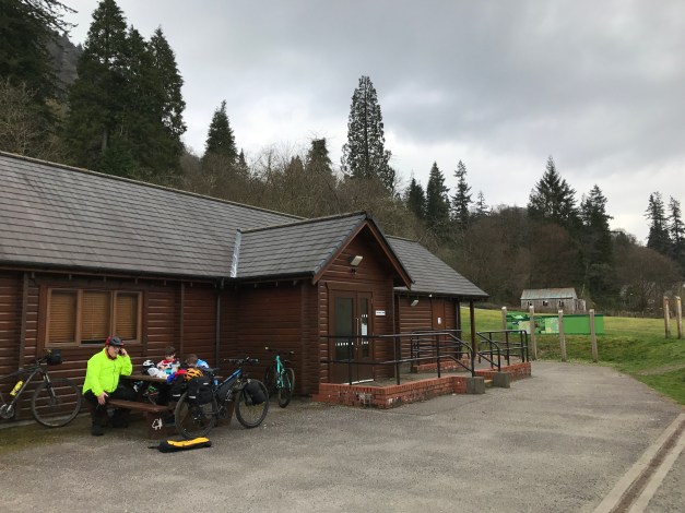
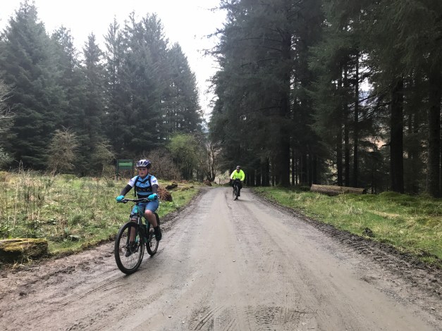
The road continues through the Benmore estate then northwards towards the outfall of Loch Eck, the vistas opening up as the steep hills flank either side of the loch. The forestry road through to Glenbranter is mostly undulating, perhaps a few climbs but they don’t raise any major concerns. The local Forestry Commission offices are located in Glenbranter, an opportunity to regroup, stop for a break and use the facilities – approx. 13.5 miles from the start and the mid-way point.

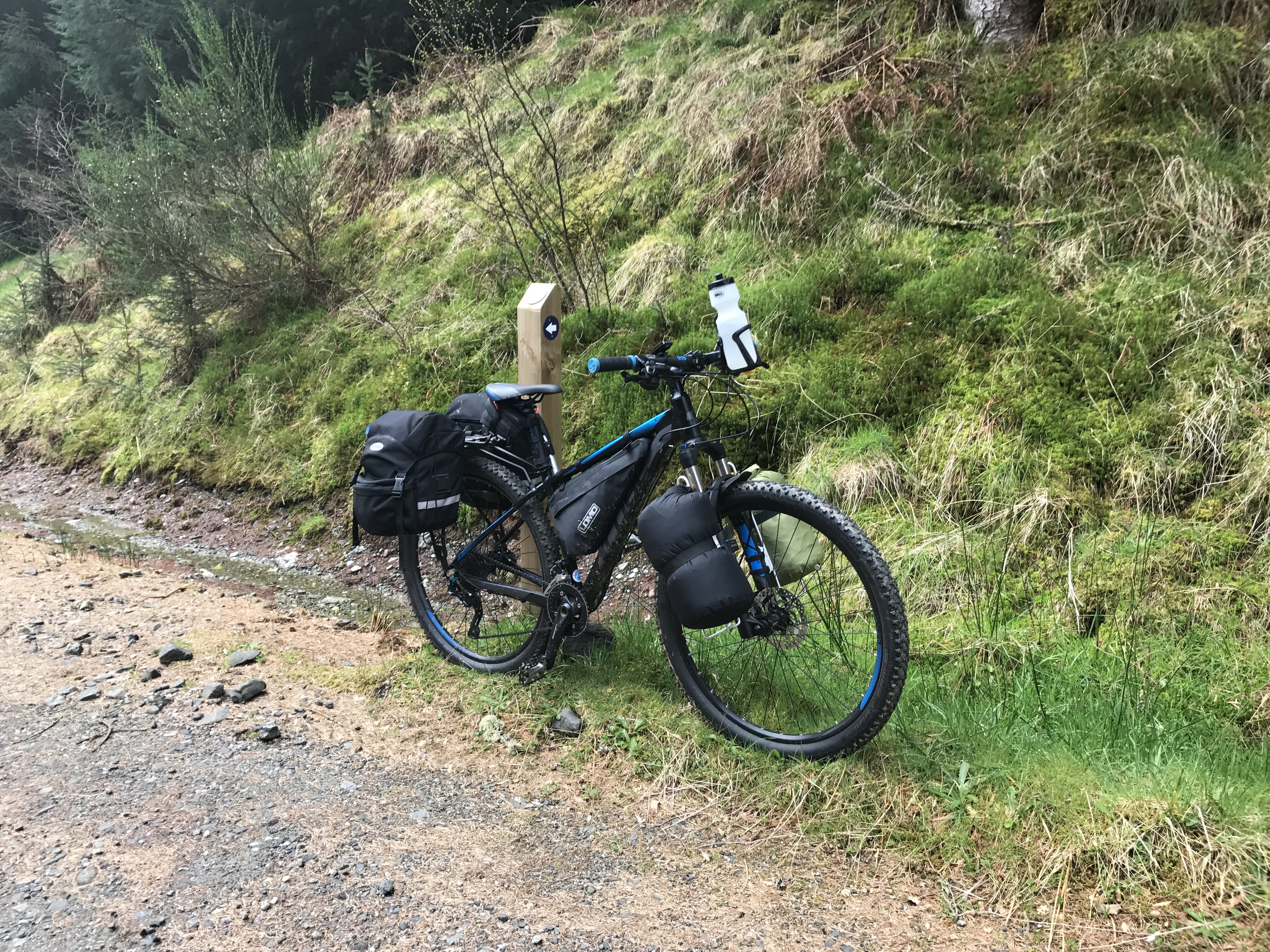
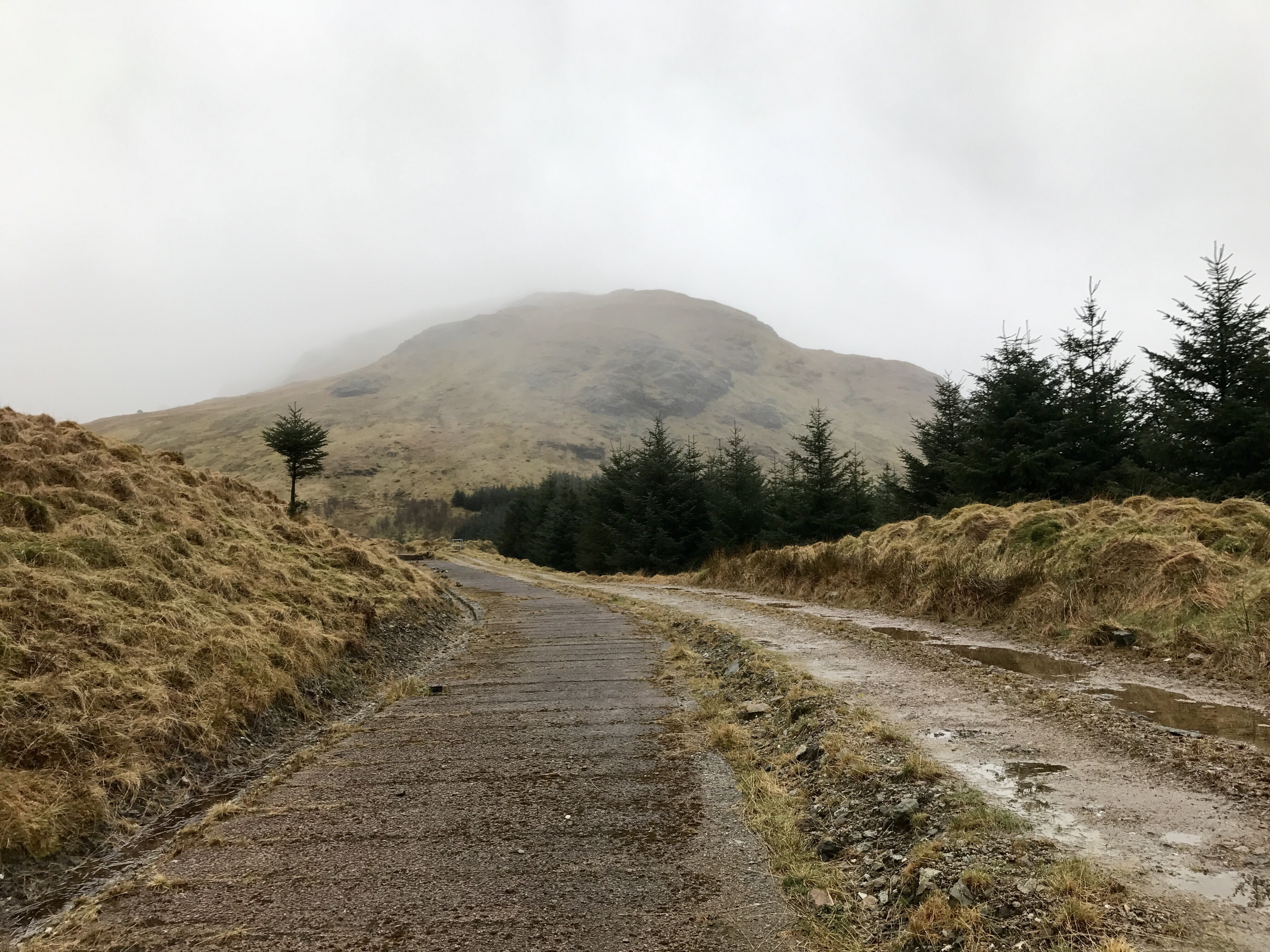
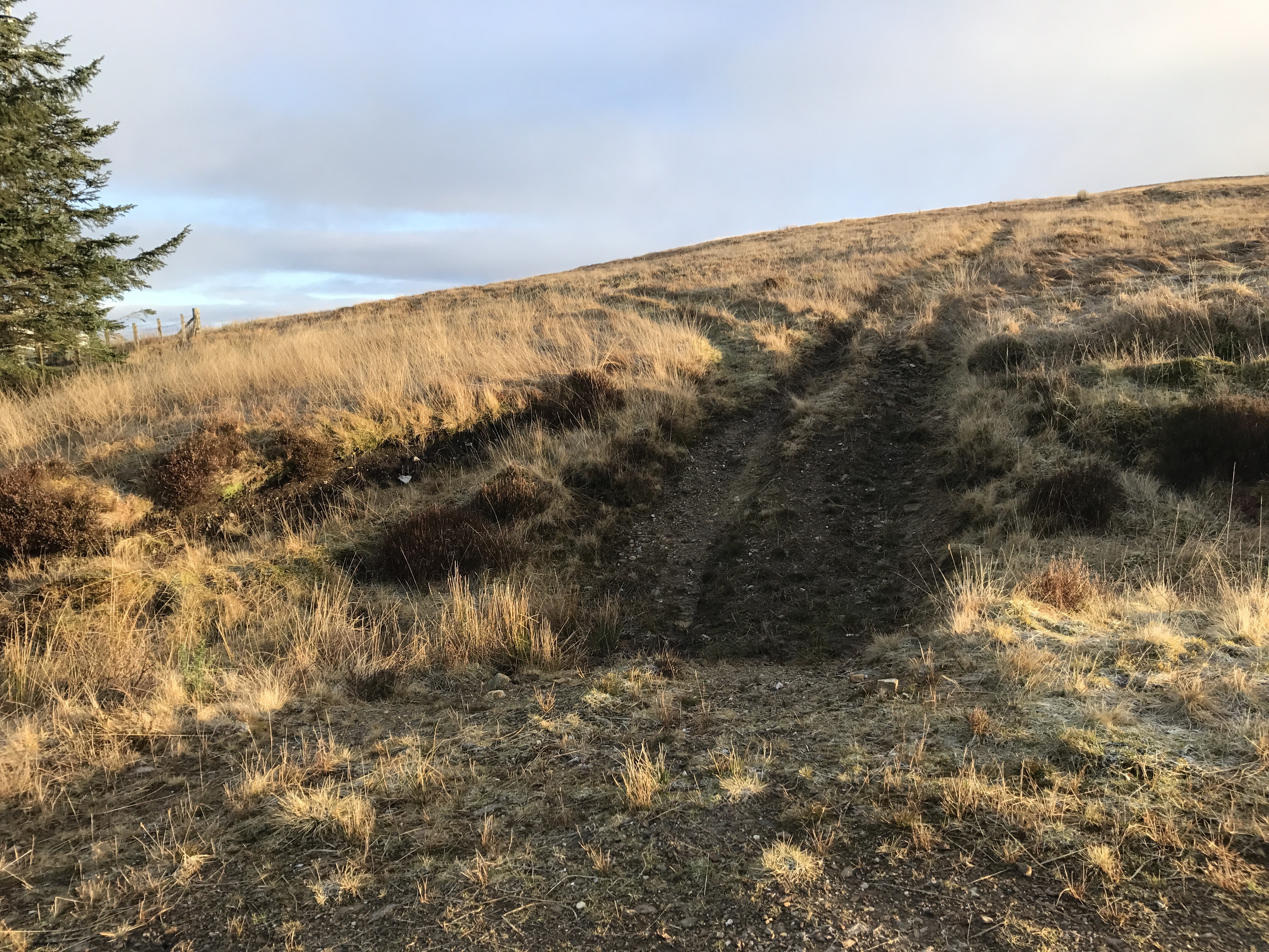
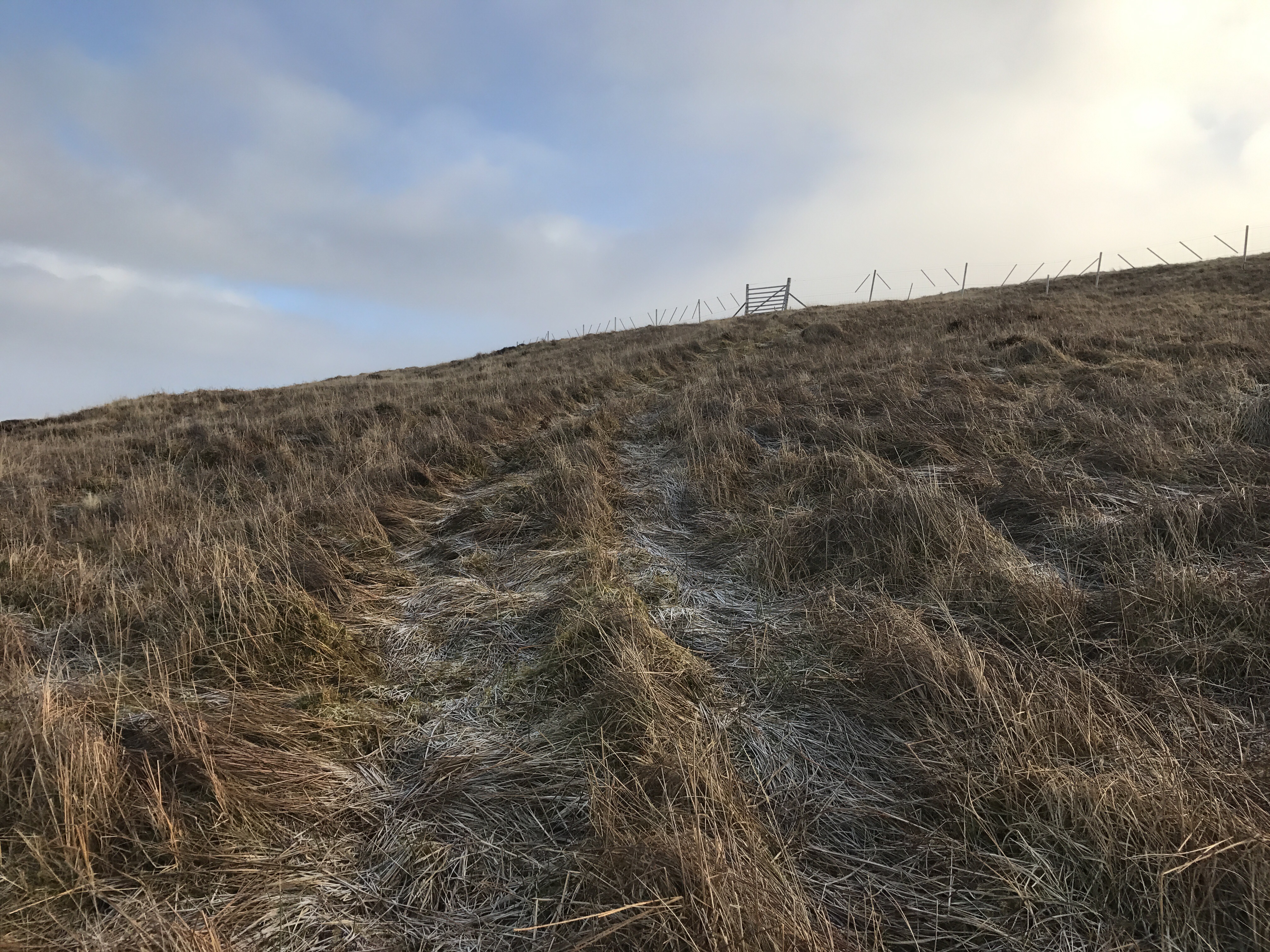
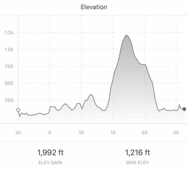
After a break it’s time to tackle the climb out of Glenbranter heading for Garvie Farm – this section encompasses part of the Cowal Way . The initial and steepest part of the climb lasts for approximately 0.5 miles before lessening for the remaining 3, there is no shame whatsoever in dismounting and pushing to the summit – the sense of achievement is still the same. On the flip side, what goes up must come down, the rest of the journey to Garvie Farm is a breeze with only one short lived climb to contend with.

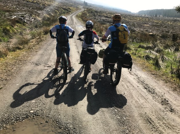
Leaving Garvie Farm (approx. 22 miles from start) a short section of the A886 is covered prior to turning on to the West Glendaruel public road. The West Glen road is single track with passing places, not that you’ll meet much traffic. Again, no noticeable climbs worth mentioning.


On arrival at the Glendaruel Caravan site, a wee rest, then pitching of the tents prior to something to eat and refreshments. 


Sunday, Inward Bound: Glendaruel Caravan Park – Ardnadam Pier (17 miles). Public road (A and B class).


Sunday: Refreshed, fed, watered and ready to roll! Well 3 out of 4 isn’t bad. The fact that the home stretch is 9 miles less than the previous day is encouraging for a start. Sunday’s roads were all public surfaced road, initially on the West Glen Road till it meets with the junction of the A886 then onto the B836 before re-joining the familiar A815.

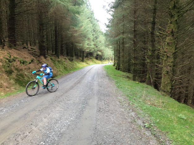
The West Glen road is undulating and progress easy. The A886 starts off downhill to the A8003 junction then a steady gradual climb towards Stronafian. 

The B836 junction, reached at approximately 4 miles from the start is a different beast however, a beast that can be tamed! It has two noticeable gradual climbs, again the laws of physics apply and what goes up must come down. The smooth surface helps with progress and the climbs are not as hard going as originally thought. 

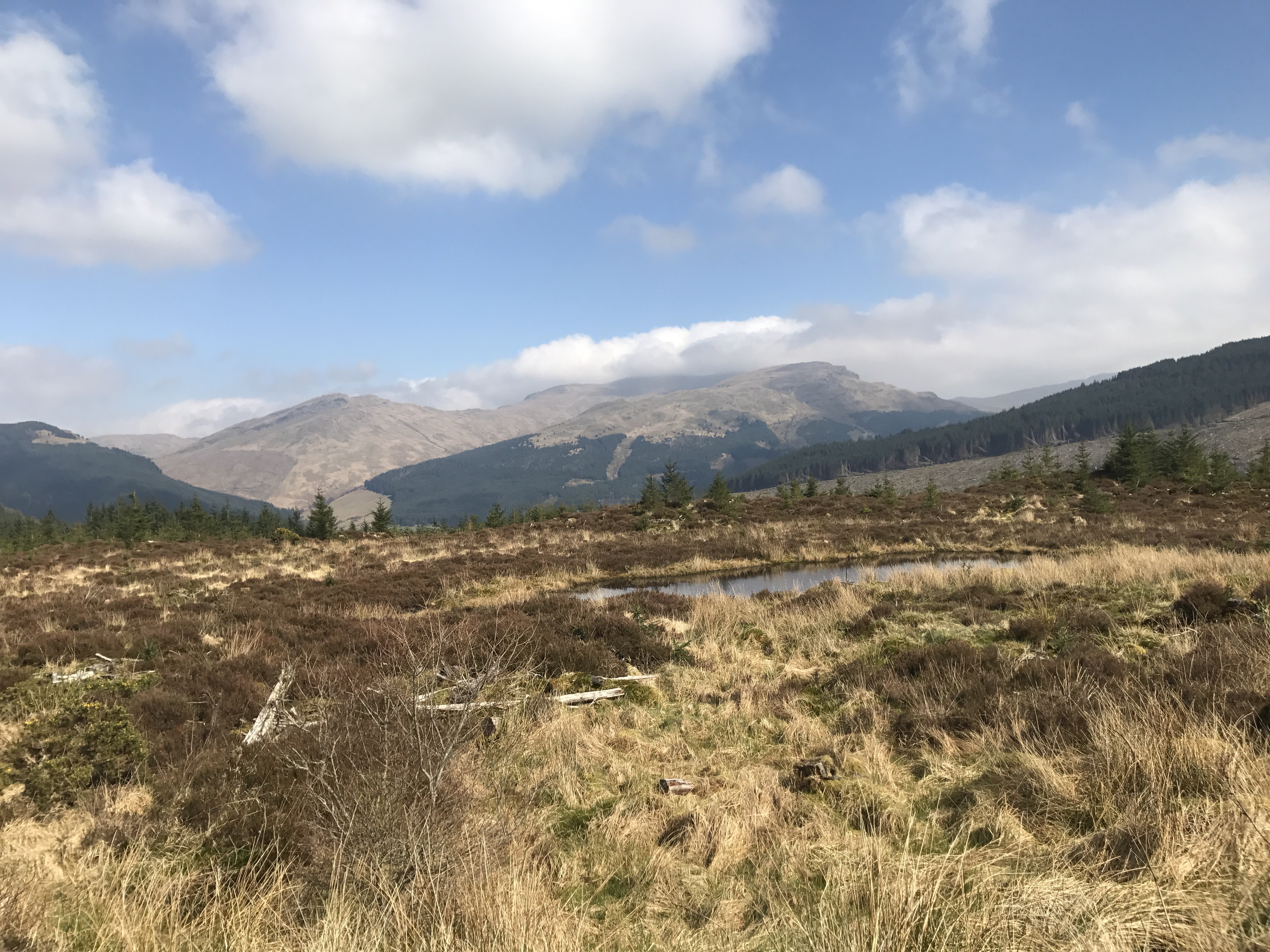
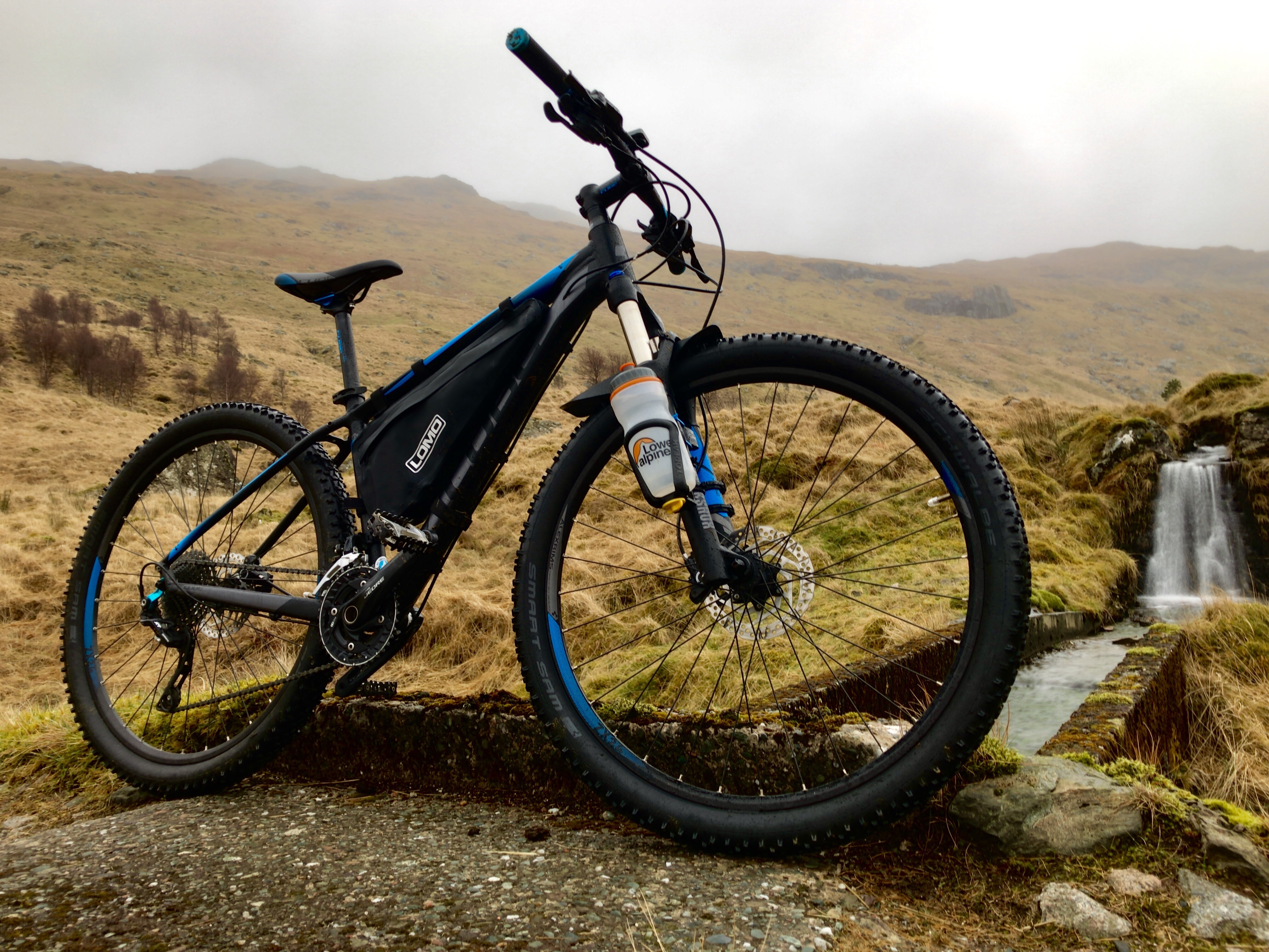
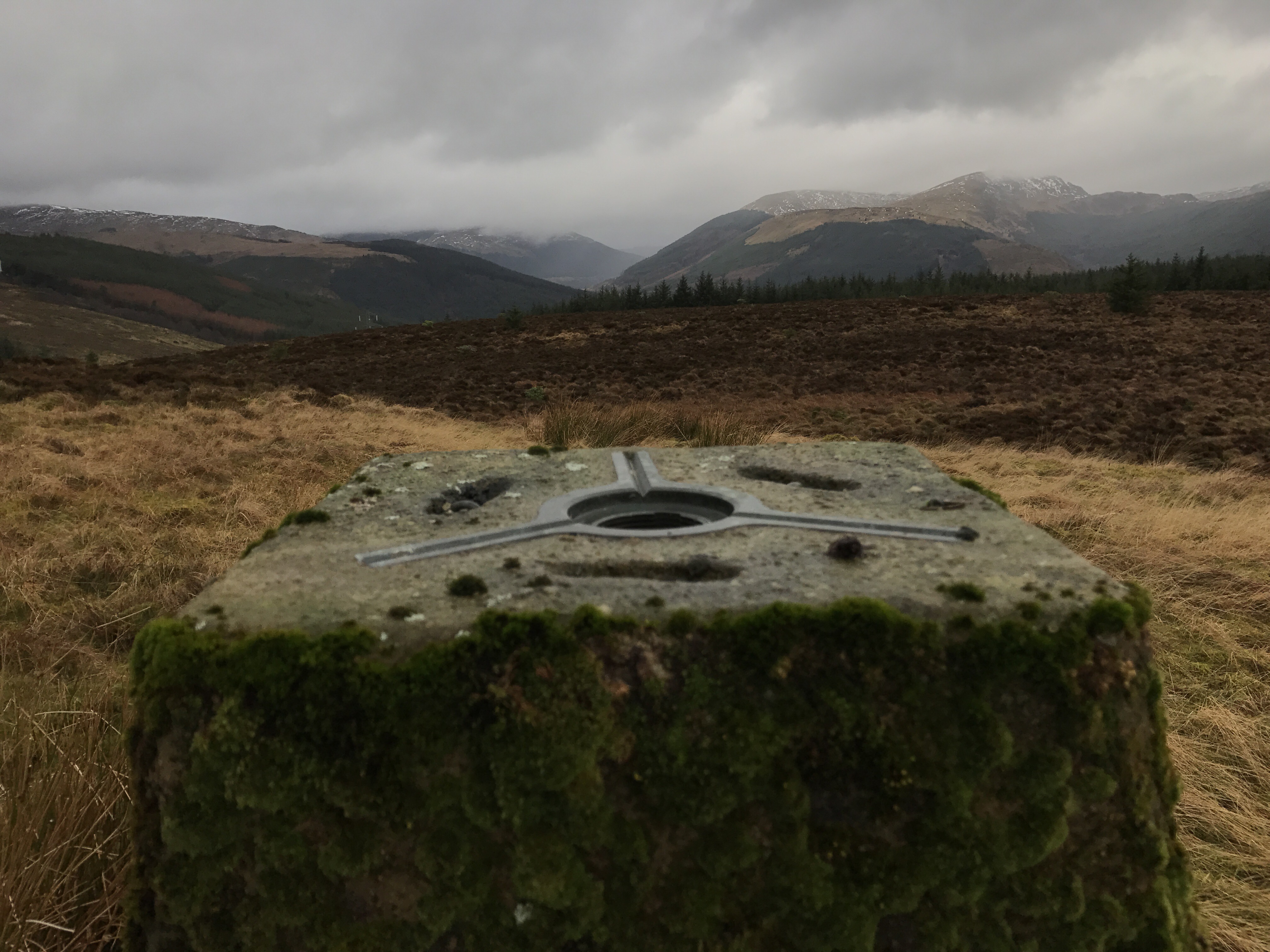
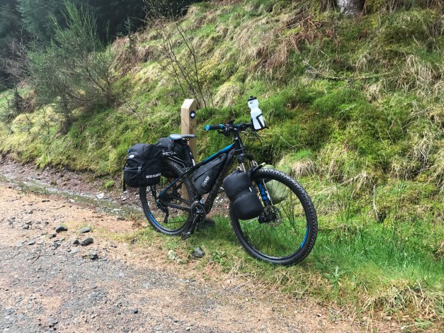
The climbs are both similar in distance and elevation, roughly one and quarter miles (2kms) with a gain of 400ft (120mts). The first being from the B836 junction to the top of the ‘Long Brae’, the second being from Ardtariag to Tarsan Dam. As before, there is no shame in dismounting for a push or a rest – these should be promoted as photo opportunities! There are ample stop off points to allow regrouping and a break to refuel.


Enough of climbs, now for the fun bits…..descents. After the first climb the descent is a steep and fast one. Brakes should be in tip top condition as the gradient will have them working, care must be taken. The second descent is a more gradual affair, from Tarsan Dam down, through the flats to Clachaig then to the A815. A welcome easy run after the epic (perhaps too strong a word) taming of the climbs. The return via the A815 on to its shore road to the carpark is uneventful.


An epic wee adventure, from sea loch to fresh water loch, from East Cowal to West Cowal, a night under canvas……and back.
Thanks to Iain for attending and helping organise the weekend, also thanks to Fin and James for their company and keeping me right. 

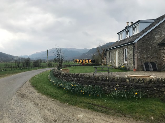
Glendaruel Caravan Park provides an excellent base for exploring the area, offers a variety of accommodation and there is always a warm welcome.  


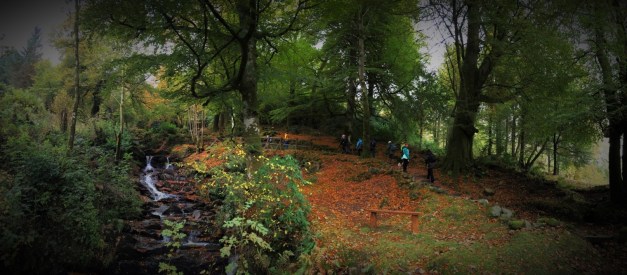
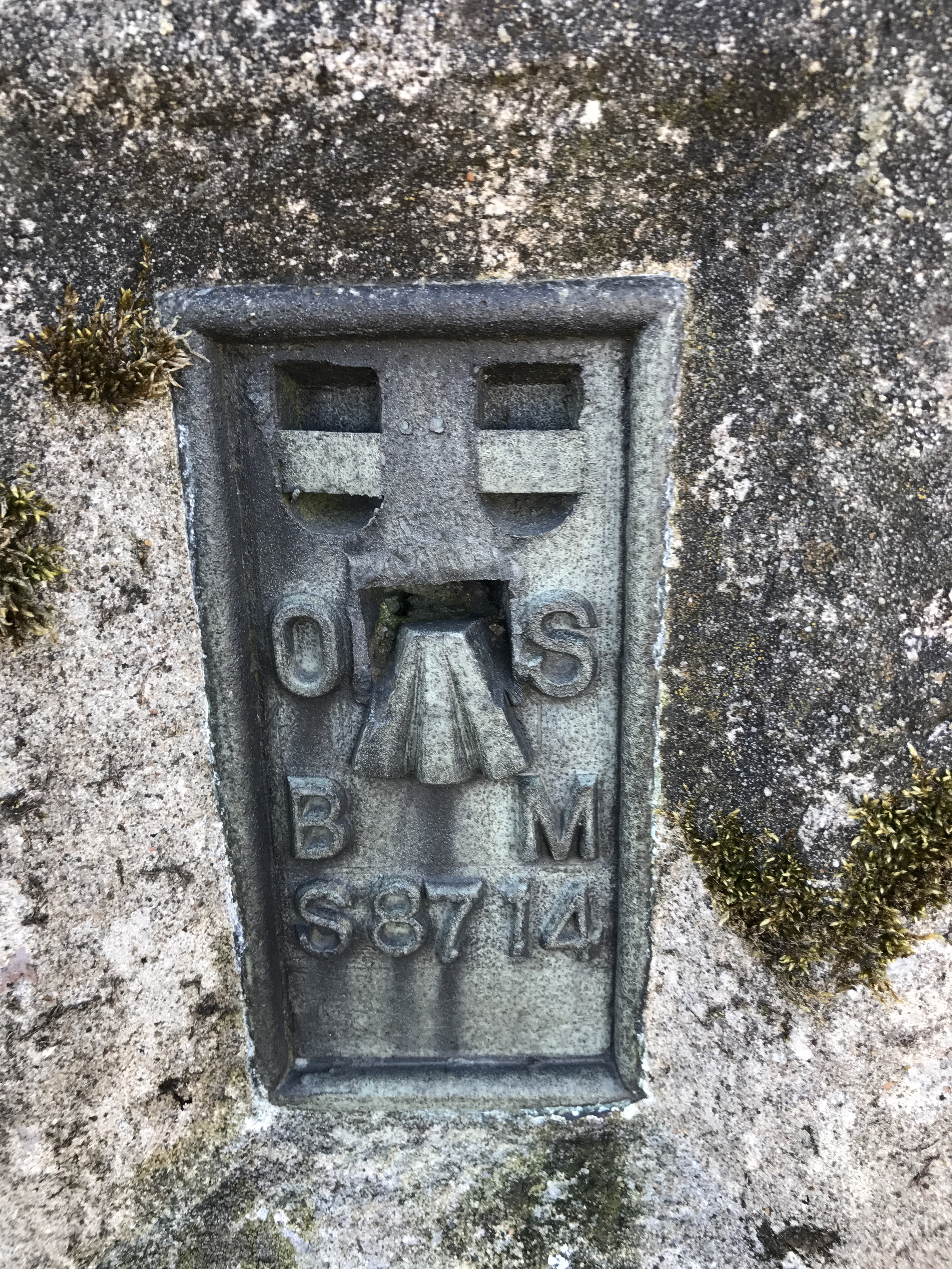
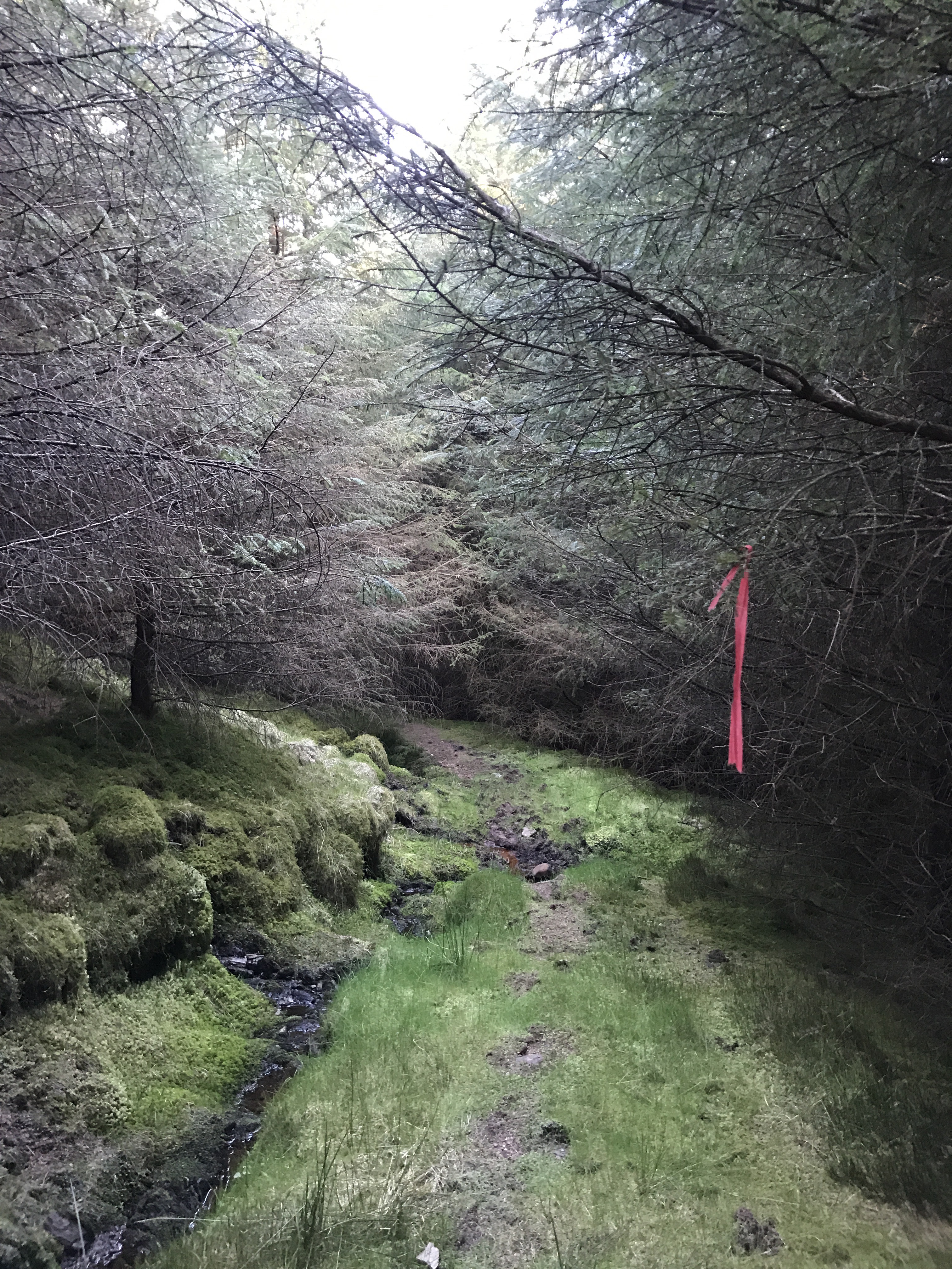
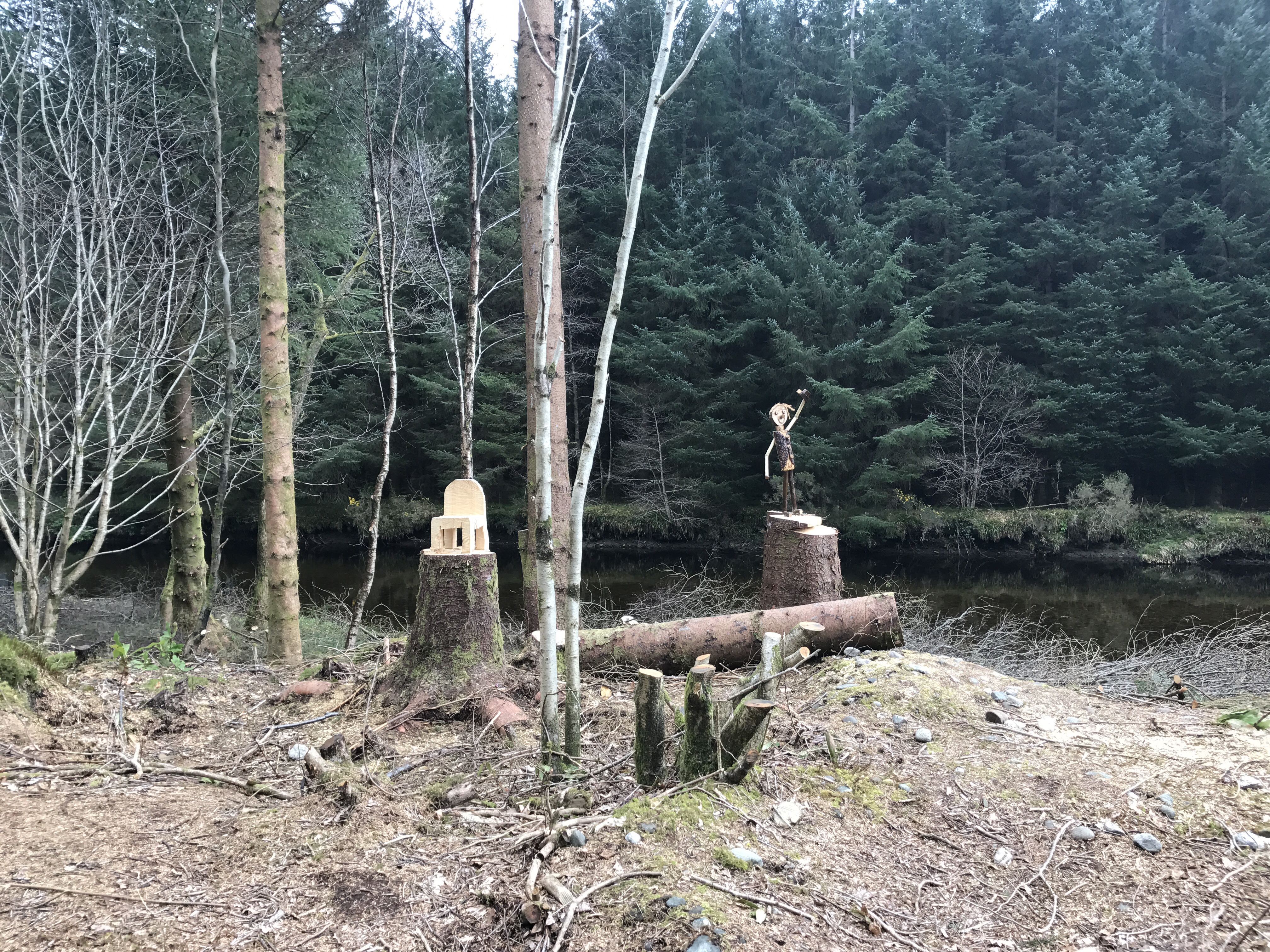
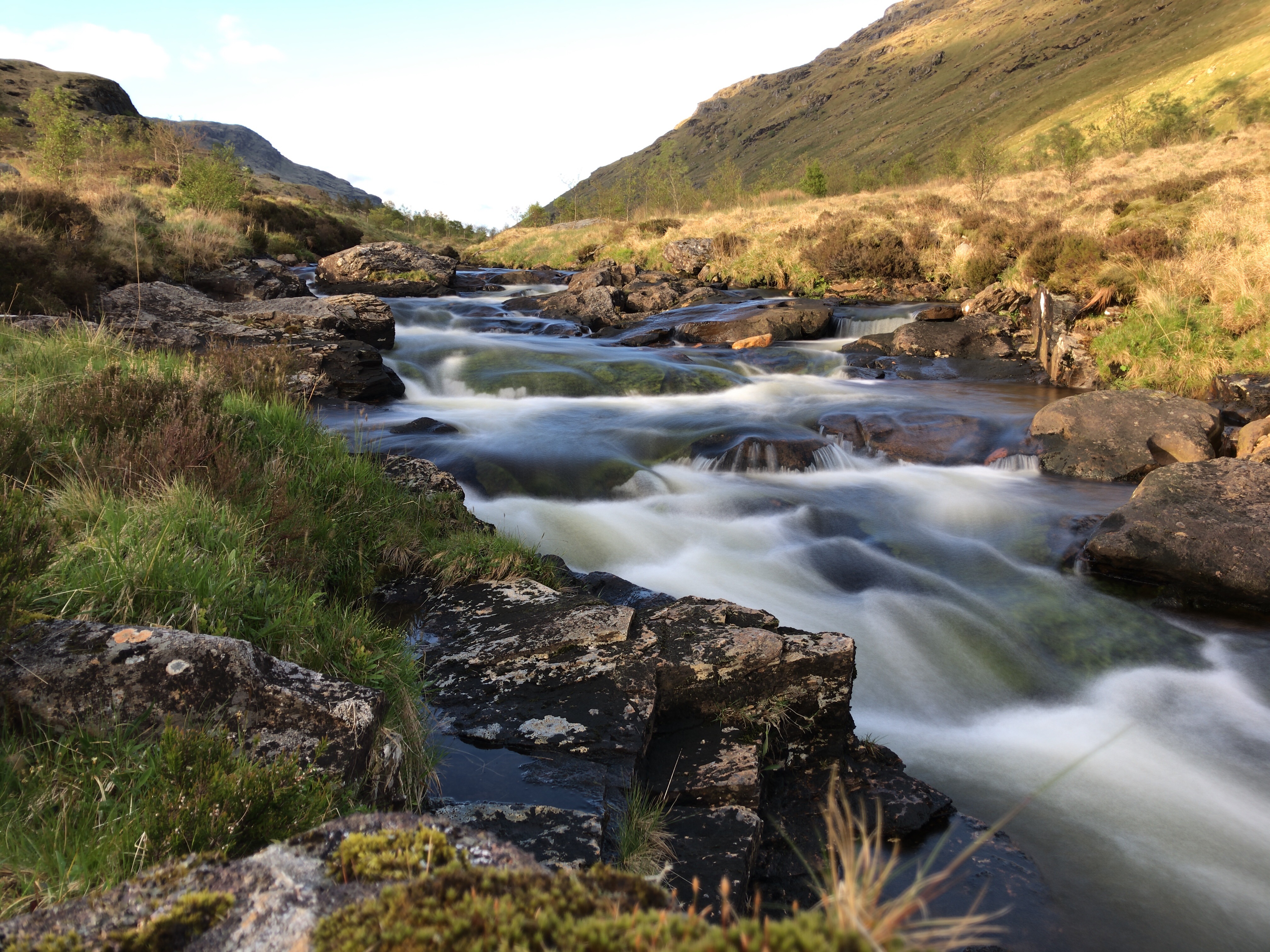
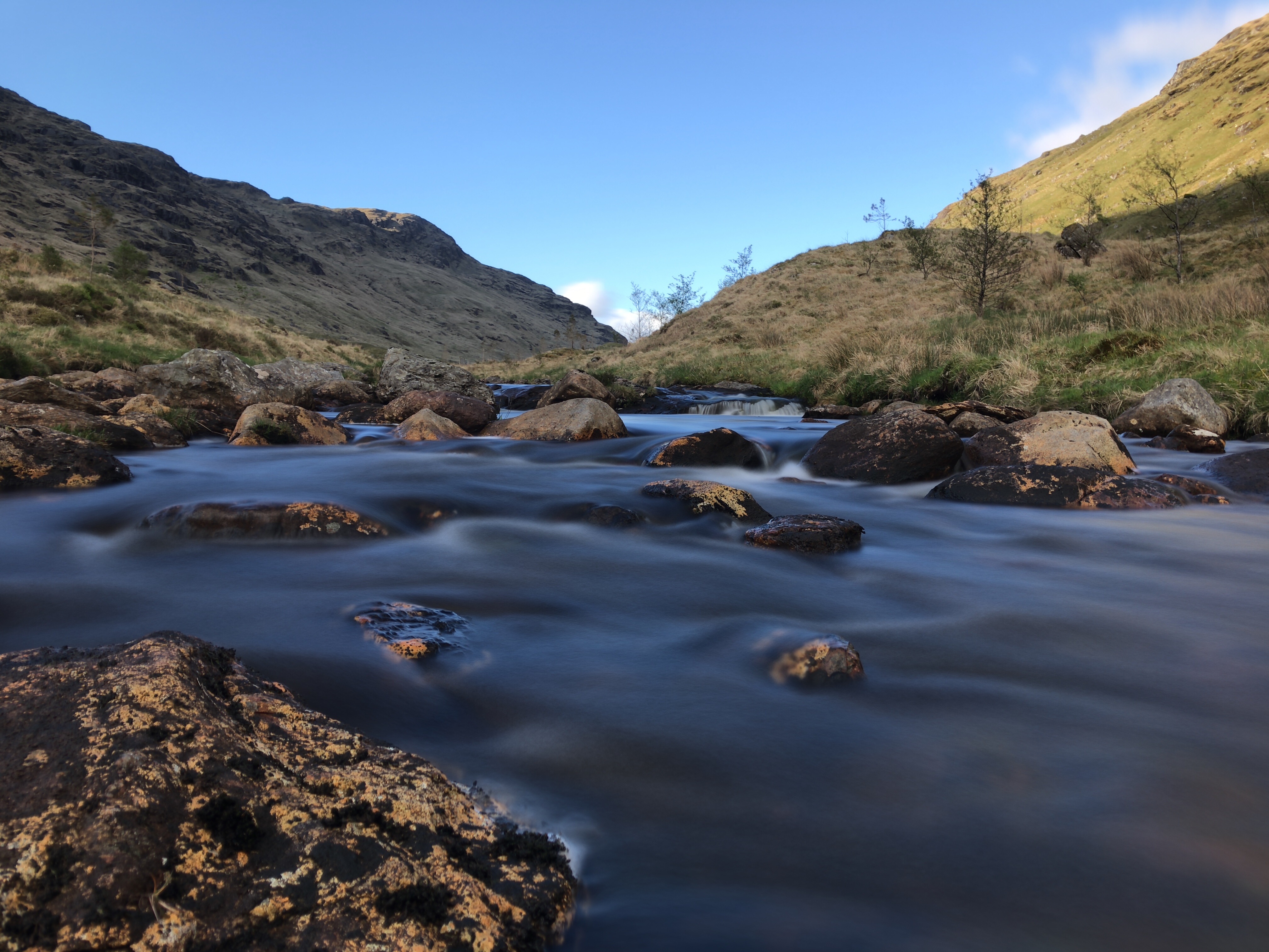
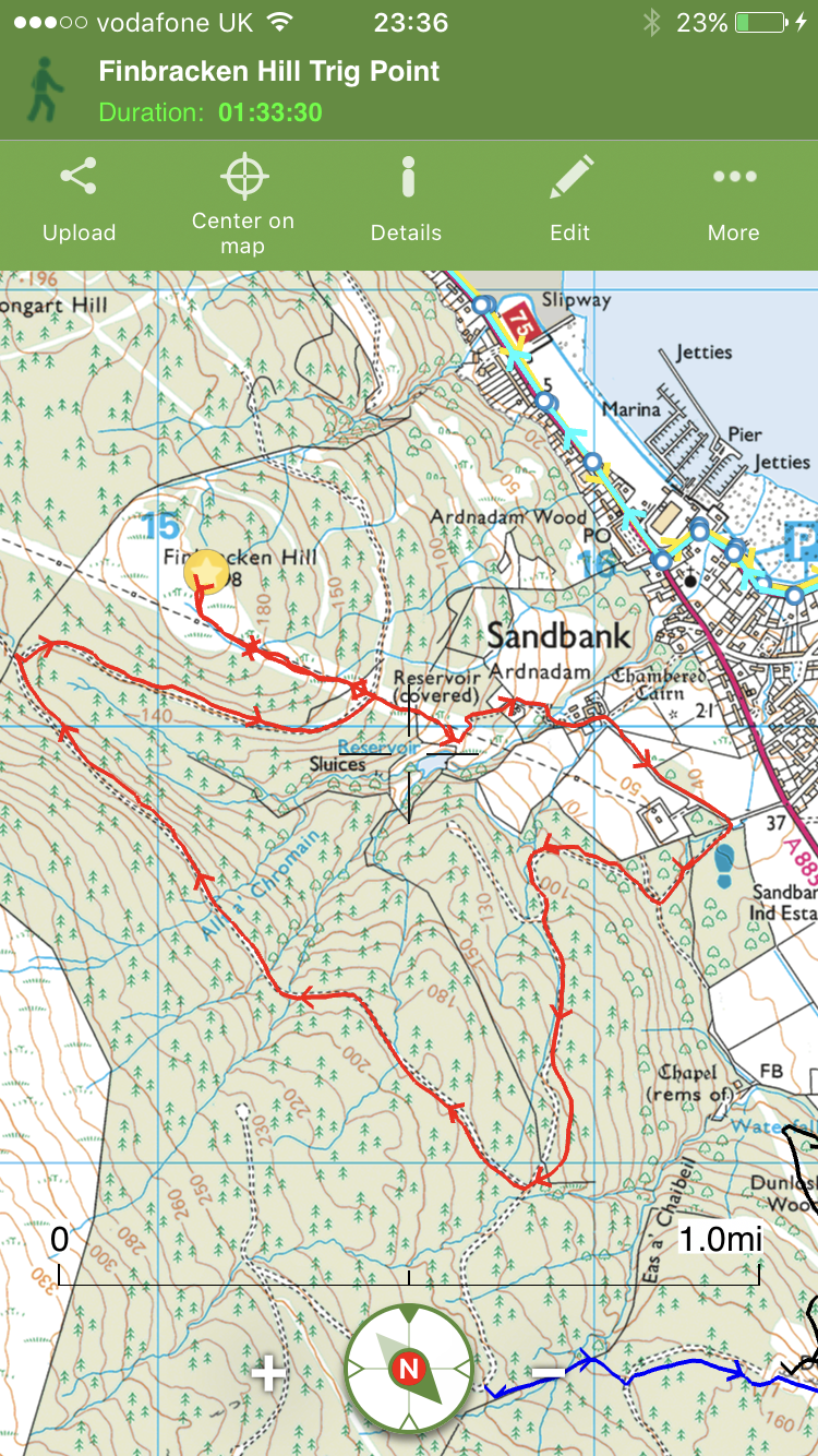
An excellent walk whilst in the area is accessed from the back road at the caravan park  – Lochan Chuilceachan 

MBA Abyssinia Bothy and Glen Kinglas Aqueduct.

Posted by explorecowal on March 18, 2017
Posted in: Biking, Bothy, Family, Walking, wildcamp #microadventure. Tagged: Abyssinia, bike, Bothy, Cowal, cycle, MBA, walk. Leave a comment

Abyssinia Bothy,an abandoned building that has recently been added to the list of MBA Bothies. With planned works at the end of April 2017, the building will will be renovated and maintained by the MBA volunteers. 

Fuel: Some deadwood in area however, advisable to take fuel in. 

***No fire installed at the moment. Chimney blocked off. Will update. ***

Altitude: 252mts. 

Bike Friendly: 10/10. 

Is it in Cowal – Yes 👍 

Having visited Glen Kinglas previously a re-visit to the area on the news of the bothy project was a must.  

The estate road is undulating and reaching the Bothy is no mean feat, especially with the bike. 


The Bothy sits on the opposite side of the river,so a crossing was required on this visit – no idea if there are any proposals to install two wee bridges over the smaller burns. 


Abyssinia in its current state. 


Hopefully the Bothy will be complete or at minimum habitable by summer. 

Whilst in the area I decided to head for the aqueduct that runs above the Bothy. Covered by concrete slabs, progress is easy if the road is to rough. A tour visiting the intake and outfall is an easy cycle, something different. 


I shall update this post as works progress. Definitely a 10/10 bike friendly Bothy.  
The Build………

Photos courtesy of Andy MacArthur 👍🥃


Re-visit on a clearer day. 

18.08.2017

A wee return as in the area visiting a trig point.

Bedroom that can sleep up to 10 on the platforms 👍

Creagan an Eich,326mts. 

Posted by explorecowal on March 1, 2017
Posted in: Trig Point, Walking. Tagged: an, Cowal, Creagan, Eich, point, Trig. Leave a comment

The quest to conquer further trig points continues. A new area to explore within Strachur. 

4.5 miles, 2 hours. 

Creagan an Eich, whilst not a giant at 326mts gives fantastic views over Strachur and Loch Fyne. Another small hill with big views. 

Parking available at Clachan Beag housing and crossing the road taking Mill Road next to Fergusons yard starts the journey. 


Mill road soon terminates joining a private road to the left that crosses the burn and continues through a gate. Once through the gate, a left turn is required. 

A deer gate further ahead with a kissing gate provides further access and the use of the road to the communication masts. 

A warning sign highlights the use of high volocity rifles!!! 


Looking back, views over Strachur and onward to Loch Fyne are to be had. 


Once the masts have been reached the remaining 0.7 miles are on open hillside. An ATV track gives enough guidance to the summit marked by a trig point via another deer gate.  The views get better with elevation. 


From the mast compound. 


Open hill to deer gate. 


Once through the gate (approx. 2/3 of the open hill section) the ATV track is still evident and pretty much leads to the trig point. 


Unfortunately the mist was still present despite the sun trying to burn its way through,  so no views from trig point ..this time! 


Return was made via the ascent route after a 30 min stand off with the mist – it won. Certainly a hill to revisit, perhaps with the tent! 


Interactive map HERE. 

On a separate note, a walk through the woods to be explored and an ideal bothy project! 


Finbracken Hill, 198mts….

Posted by explorecowal on February 26, 2017
Posted in: Trig Point, Walking. Tagged: Cowal, Explore, Finbracken, Hill, point, Sandbank, Trig. Leave a comment

…and it’s trig point. 

4 miles – 1hr 30min

New territory covered on today’s quest to visit a local trig point. 

Ardnadam Hill, a summit that goes unnoticed, only highlighted by the electricity pylons that flank its south west elevation before disappearing. 


Starting off from the car park at Ardnadam, past the horse friendly gate  the forestry road climbs as joins a freshly built forestry road, detouring from the original road that has been stopped up. 

The old finger post signs still in place (albeit lower) showing the way to Glenkin, the next stage of the route. 


A meandering road leads to a junction with the lookout post, views over the Holy Loch and beyond are to be had from here. 


The Moxy dumper still on site. 


Turn right at the stalkers elevated hide. 

After turning right the forestry road contours round the base of the hill, the power cables running between the pylons are soon overhead. 

Remarkably there is a bench with views and a marker post obscured by a solitary tree. From here it’s a climb on open hill to the third pylon. 


Looking back down the Loch. 

The trig point is located over to the right of the third pylon, lower and offset from the true summit. Initially the square top is just visible over the heathery tussocks. 


Eventually finding the trig in all its glory, with views to the north. 


Return can be the reverse of the outward bound route. 

Due to the change in weather and time constraints I decided to return via Ardnadam Farm by crossing the road and dropping down to the lower pylon then turning left picking up a track highlighted by a few old fence posts. The road passes Scottish Waters holding tanks before passing the farmhouses. The road returns to the car park access road. 

Interactive map with photos and stats HERE. 

Creachan Mor, 657mts. Sea to summit. 

Posted by explorecowal on February 12, 2017
Posted in: Trig Point, Walking. Tagged: Cowal, creachan, Explore, mor, Trig. Leave a comment

Having completed a trip a while back to check on access options to the hillside, today was the day! 


Parking at the Forestry Commissions car park at Ardentinny beach, a climb through the woods on a well defined path joins the top forestry road. 


Following the upper road, it continues to climb away from the distant shore, always choosing the left hand side at any junction. The road contours round the hillside till the power lines cross above – time for the open hill. 


From the road looking uphill there are 4 pylons visible, between 3 and 4 the shoulder marks the left turn,taking to the shoulder of the hill. 


Once past the first two pylons, to help negotiate the fence line there’s a gate to the right hand side. From here an easier approach to the shoulder between 3 and 4. 


The views down Loch Long towards the Clyde open up. 


Even in the wintry conditions, a hill track was distinguishable eventually turning to an ATV track. The snow made progress slow, however in favourable conditions this would be a more enjoyable walk. Two rises eventually bring the trig point into view, the vistas getting better and better. 


The two rises


Looking back down Loch Long


Snow drifts and the trig

Summit Trig 


Loch Long and Loch Goil. 


​

img_0289

img_0289

​
360 view from the summit. 

The route. 

Interactive map with photos and stats  available by clicking HERE. 

Trig Points. 

Posted by explorecowal on January 31, 2017
Posted in: Trig Point, Viewranger, Walking. Tagged: Cowal, point, points, Trig. Leave a comment


Buachailean Trig,Toward. Overlooking Bute towards Arran. 

Trigpoints are the common name for “triangulation pillars”. These are concrete pillars, about 4′ tall, which were used by the Ordnance Survey in order to determine the exact shape of the country. They are generally located on the highest bit of ground in the area, so that there is a direct line of sight from one to the next. By sitting a theodolite (an accurate protractor built into a telescope) on the top of the pillar, accurate angles between pairs of nearby trigpoints could be measured. This process is called “triangulation”.

Trig points are another place worth visiting. Most giving great views,not quite sure on the exact amount of the ‘Pillar’ type there are in the area, but the figure must be close to 40,varying in build material and condition. 

Trig Points vary in elevation, some easier to access than others but that adds to the challenge. Indicated on OS maps by a small blue triangle with a central dot, they are everywhere! 


Having previously reported many Trigs on walkhighlands reports, I guess I’ll need to revisit the local ones to record in the blog format. 

Blog reports HERE. 

Protected: Private Bothy (Outwith Cowal)

Posted by explorecowal on November 10, 2016
Posted in: Bothy. Tagged: Bothy, private.

This content is password-protected. To view it, please enter the password below.

Protected: Private Bothy (Outwith Cowal)

Posted by explorecowal on November 10, 2016
Posted in: Bothy. Tagged: Bothy, private.

This content is password-protected. To view it, please enter the password below.

Protected: The Wee House

Posted by explorecowal on October 23, 2016
Posted in: Bothy. Tagged: Bothy, hoose, the, wee, wilsons.

This content is password-protected. To view it, please enter the password below.

Posts navigation

← Older Entries
Newer Entries →
  • Recent Posts

    • YouTube
    • North West Loch Striven from B836
    • Strachur, Hill Lochs and Waterfalls. Scotways routes 97 and 98.
    • Cnocan Sgeir’e Trig point – Glendaruel
    • Cruach nan Capull Trig @565mts, St Catherine’s/Cairndow
  • Topics

    • About
    • Bikepacking
    • Biking
    • Bothy
    • Cowal High Way
    • Cowal Way
    • Cowalfest
    • Family
    • forestry commission
    • Gear
    • Heritage Paths
    • Outwith Cowal
    • Paddling
    • SIB
    • Trig Point
    • Uncategorized
    • Viewranger
    • Walking
    • wildcamp #microadventure
  • Blog Stats

    • 212,445 hits
  • Contact

    explorecowal@gmail.com
Blog at WordPress.com.
Explore Cowal
Blog at WordPress.com.
  • Subscribe Subscribed
    • Explore Cowal
    • Join 53 other subscribers
    • Already have a WordPress.com account? Log in now.
    • Explore Cowal
    • Subscribe Subscribed
    • Sign up
    • Log in
    • Report this content
    • View site in Reader
    • Manage subscriptions
    • Collapse this bar
 

Loading Comments...