
…and it’s trig point.
4 miles – 1hr 30min
New territory covered on today’s quest to visit a local trig point.
Ardnadam Hill, a summit that goes unnoticed, only highlighted by the electricity pylons that flank its south west elevation before disappearing.


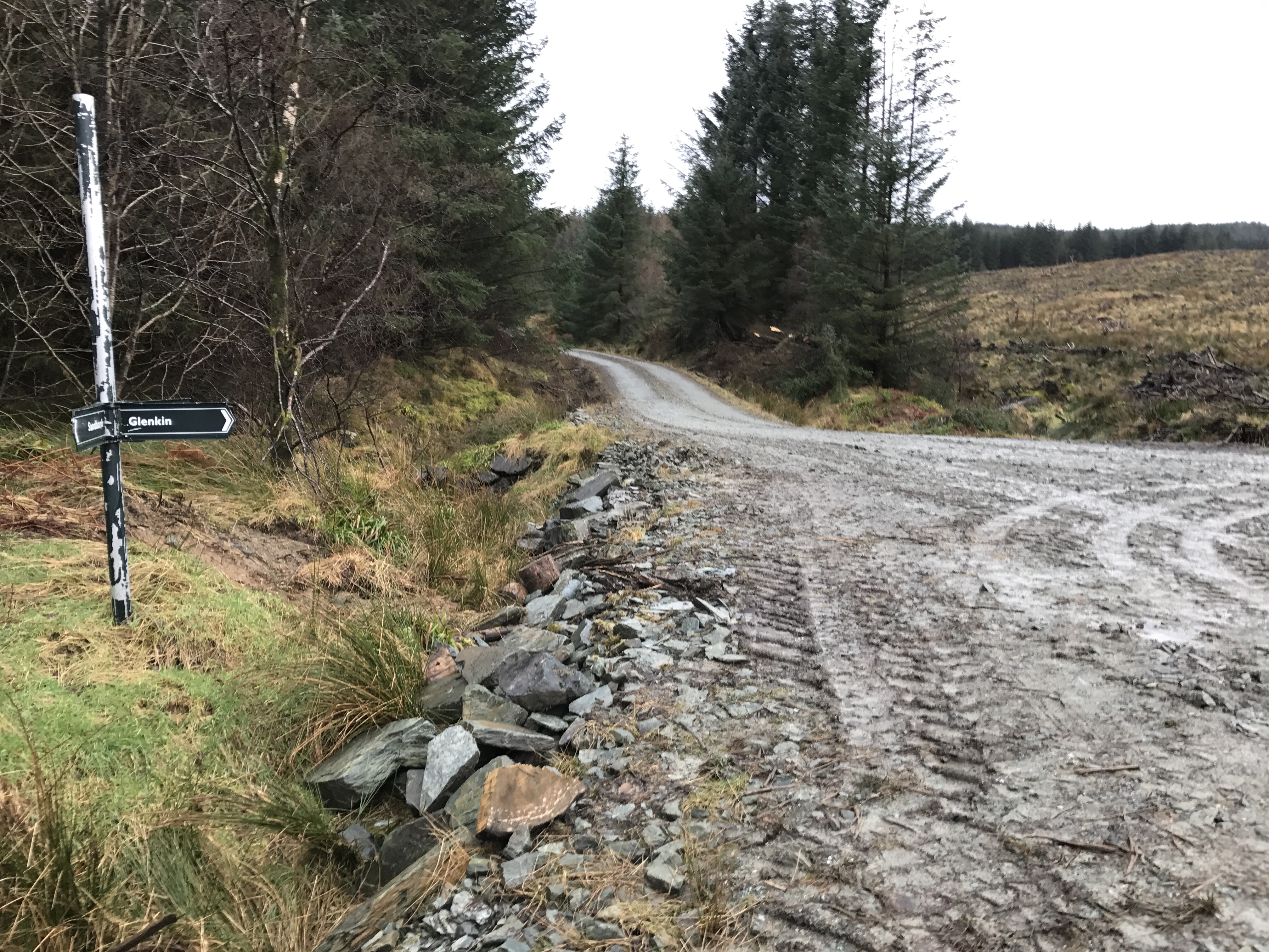
Starting off from the car park at Ardnadam, past the horse friendly gate the forestry road climbs as joins a freshly built forestry road, detouring from the original road that has been stopped up.
The old finger post signs still in place (albeit lower) showing the way to Glenkin, the next stage of the route.


A meandering road leads to a junction with the lookout post, views over the Holy Loch and beyond are to be had from here.

The Moxy dumper still on site.


Turn right at the stalkers elevated hide.
After turning right the forestry road contours round the base of the hill, the power cables running between the pylons are soon overhead.
Remarkably there is a bench with views and a marker post obscured by a solitary tree. From here it’s a climb on open hill to the third pylon.


Looking back down the Loch.
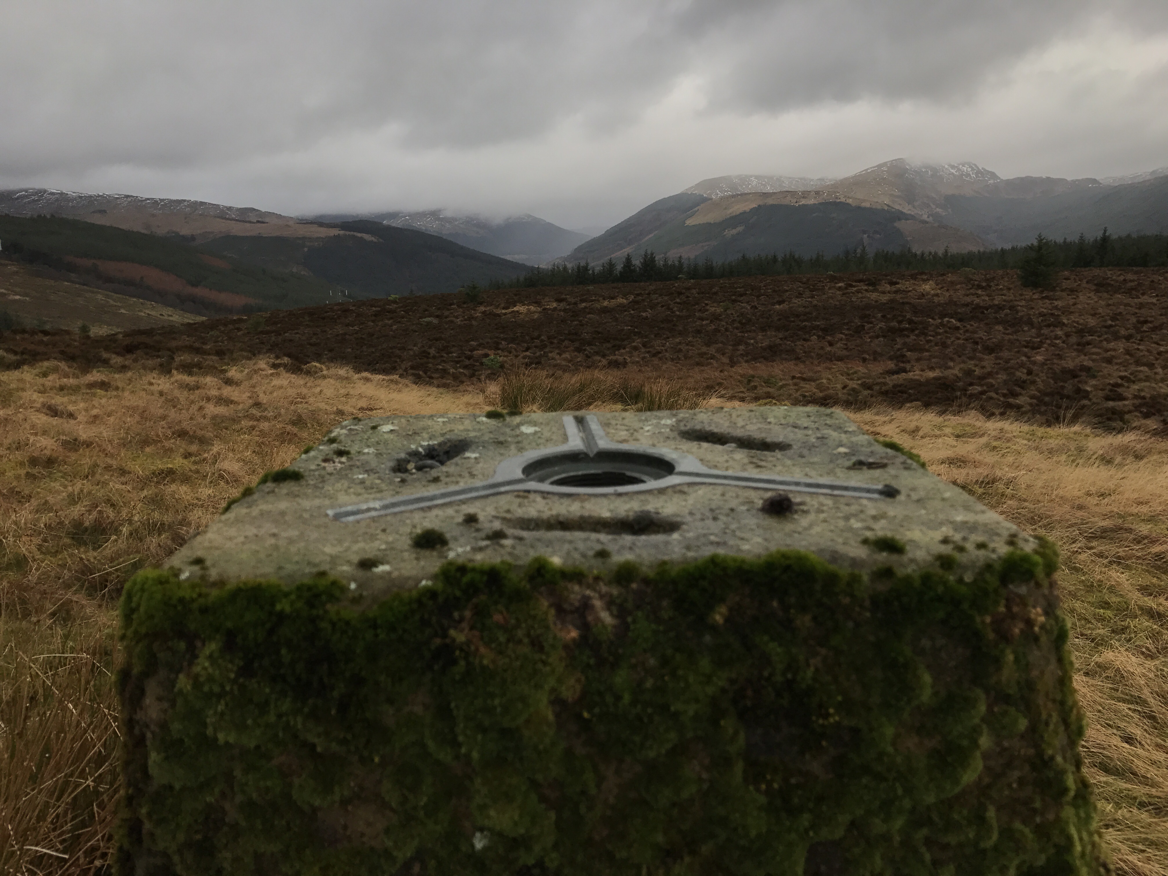
The trig point is located over to the right of the third pylon, lower and offset from the true summit. Initially the square top is just visible over the heathery tussocks.

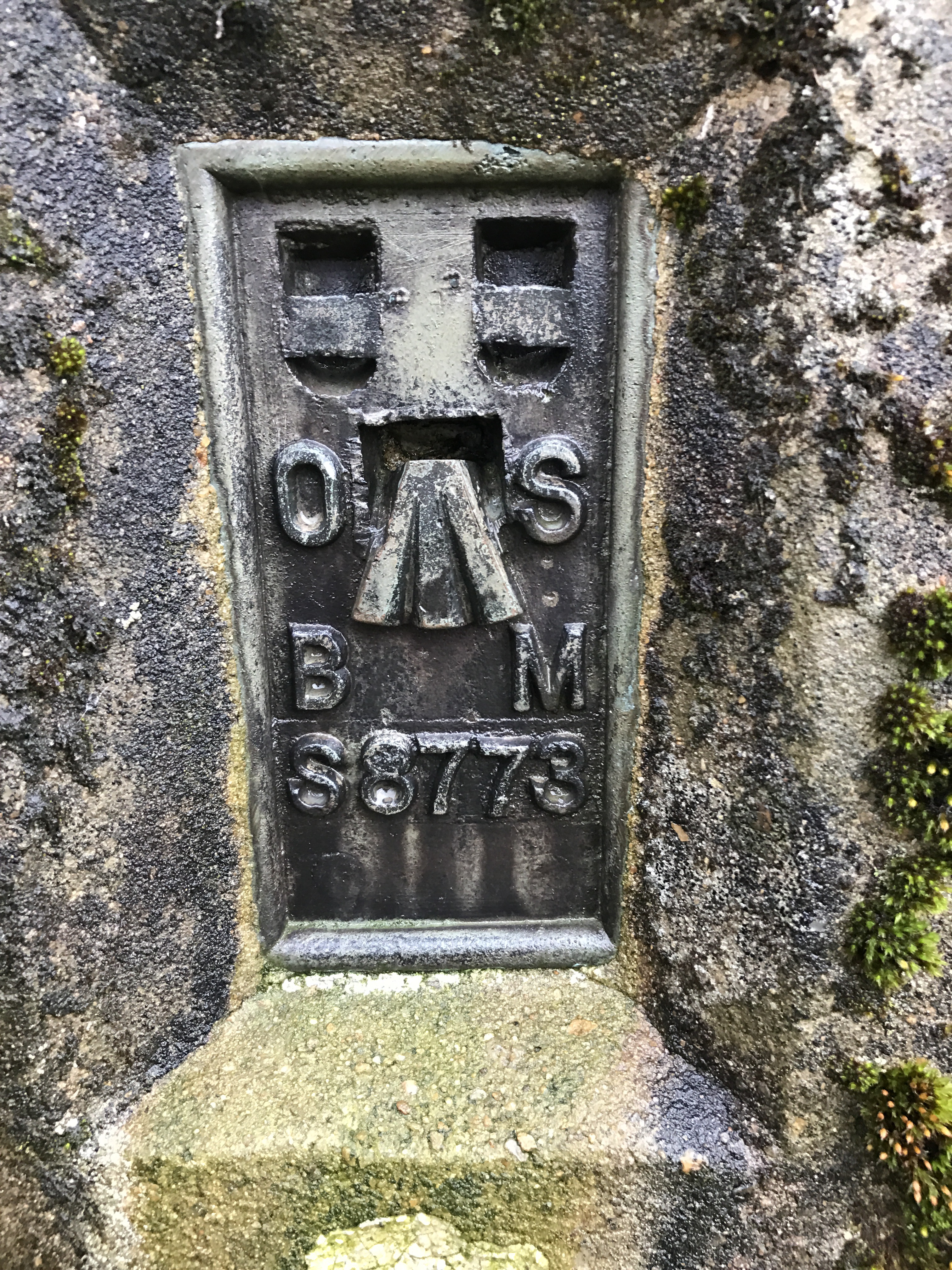
Eventually finding the trig in all its glory, with views to the north.

Return can be the reverse of the outward bound route.
Due to the change in weather and time constraints I decided to return via Ardnadam Farm by crossing the road and dropping down to the lower pylon then turning left picking up a track highlighted by a few old fence posts. The road passes Scottish Waters holding tanks before passing the farmhouses. The road returns to the car park access road.
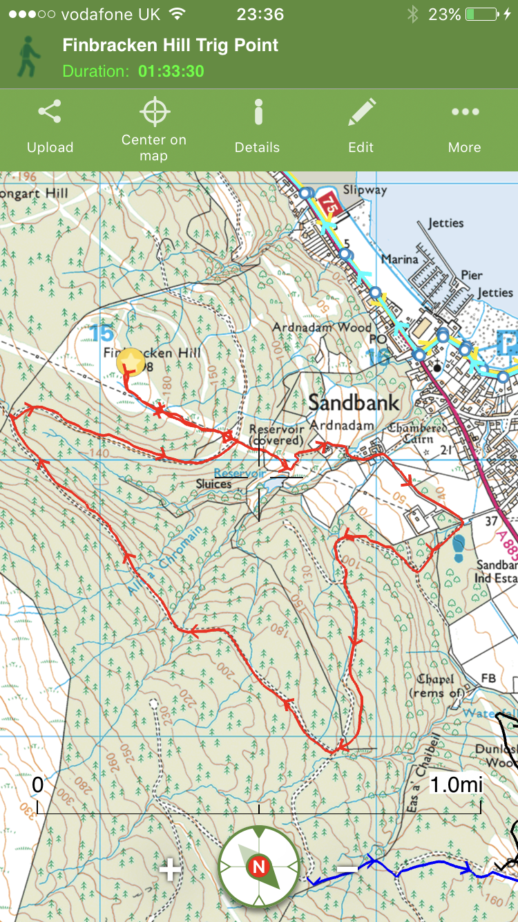
Interactive map with photos and stats HERE.
