
Having completed a trip a while back to check on access options to the hillside, today was the day!
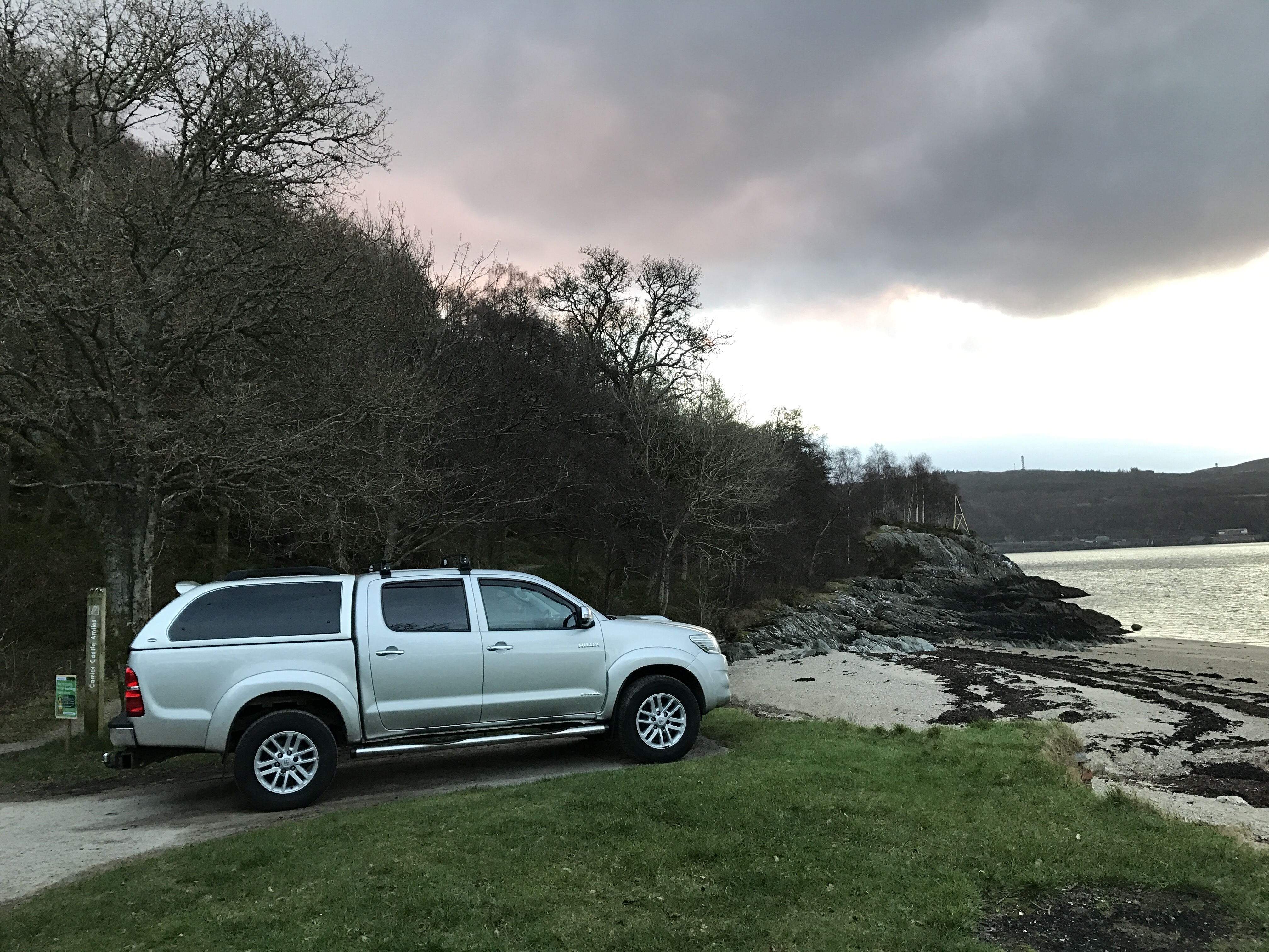
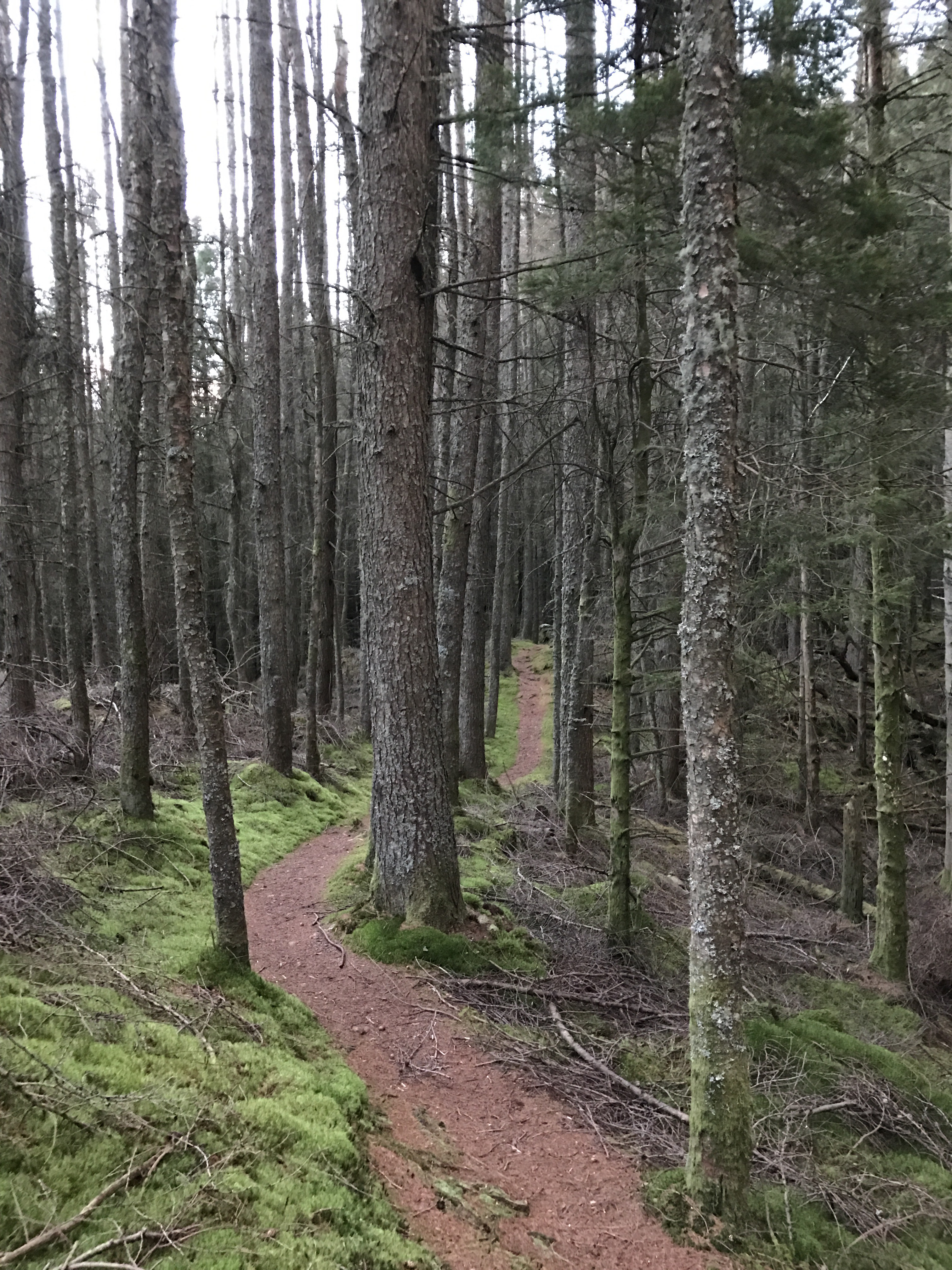
Parking at the Forestry Commissions car park at Ardentinny beach, a climb through the woods on a well defined path joins the top forestry road.

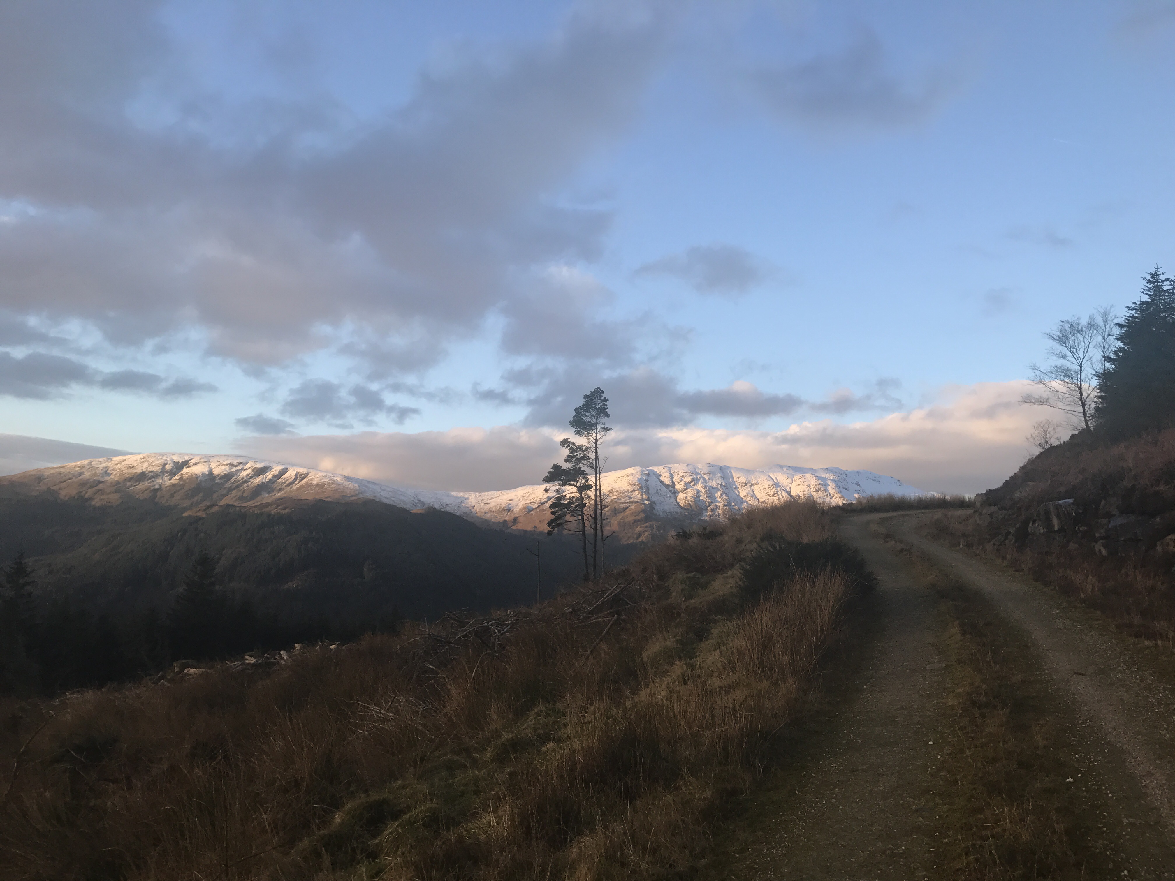
Following the upper road, it continues to climb away from the distant shore, always choosing the left hand side at any junction. The road contours round the hillside till the power lines cross above – time for the open hill.
From the road looking uphill there are 4 pylons visible, between 3 and 4 the shoulder marks the left turn,taking to the shoulder of the hill.

Once past the first two pylons, to help negotiate the fence line there’s a gate to the right hand side. From here an easier approach to the shoulder between 3 and 4.

The views down Loch Long towards the Clyde open up.

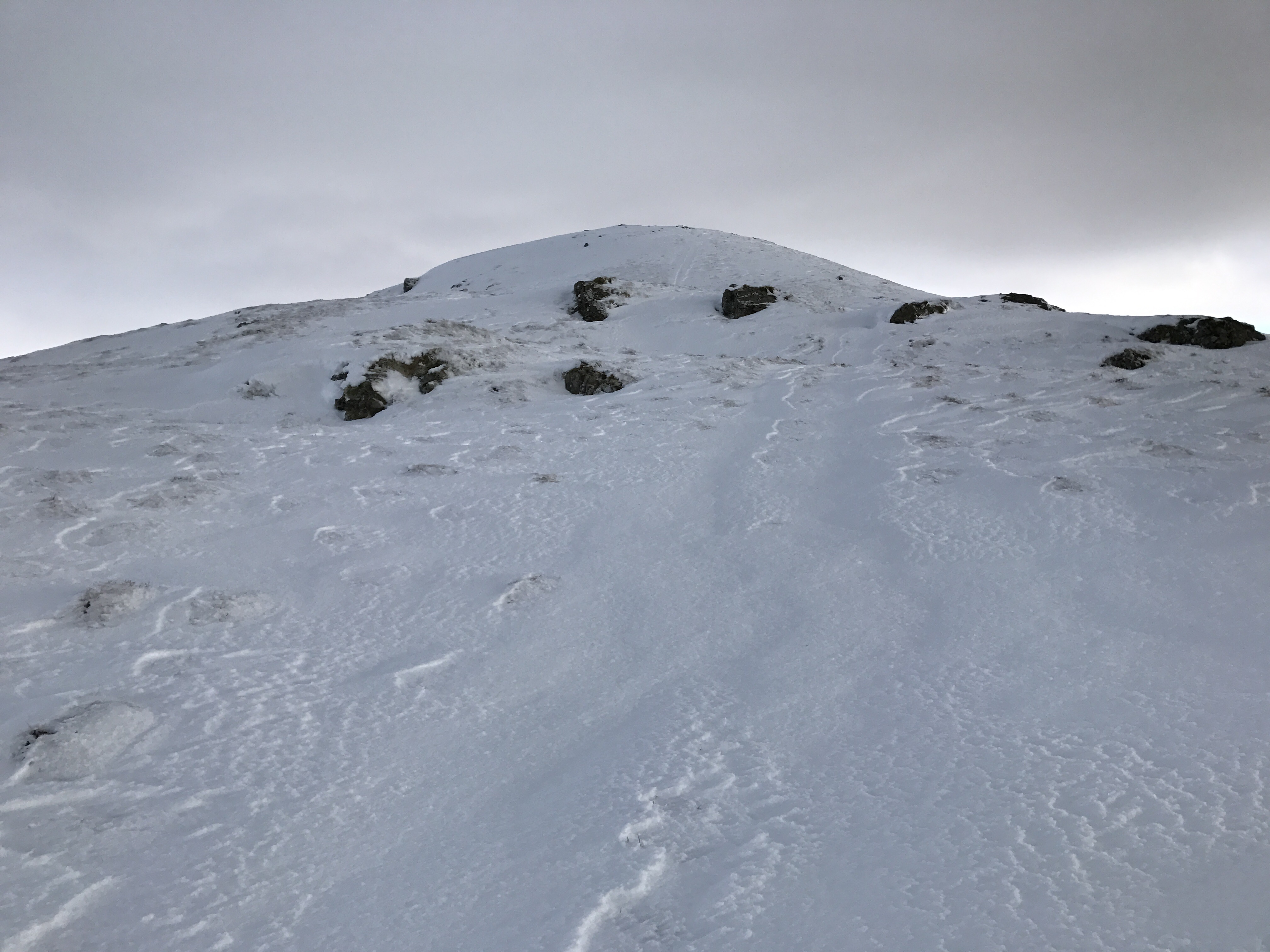
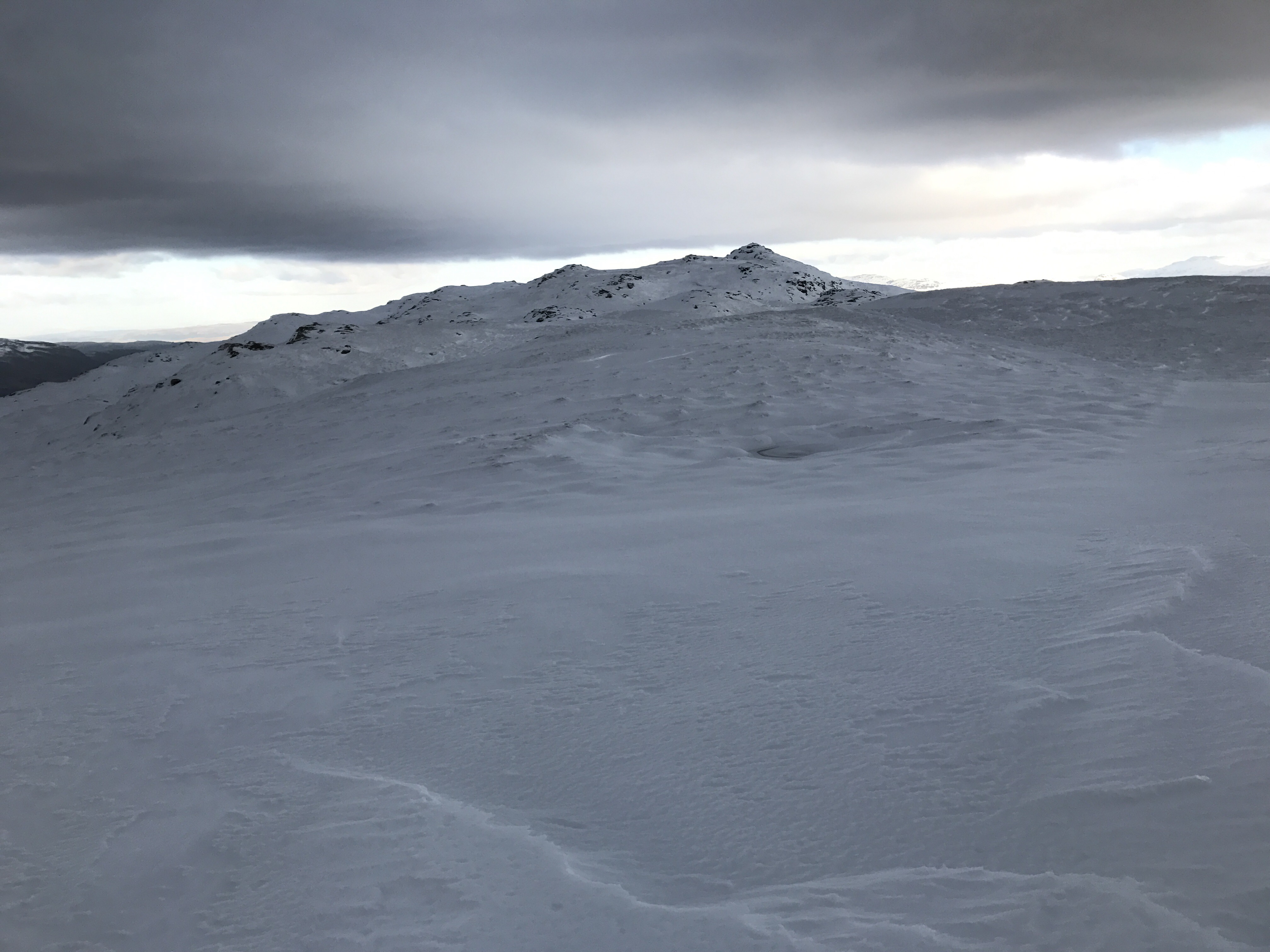
Even in the wintry conditions, a hill track was distinguishable eventually turning to an ATV track. The snow made progress slow, however in favourable conditions this would be a more enjoyable walk. Two rises eventually bring the trig point into view, the vistas getting better and better.

The two rises

Looking back down Loch Long
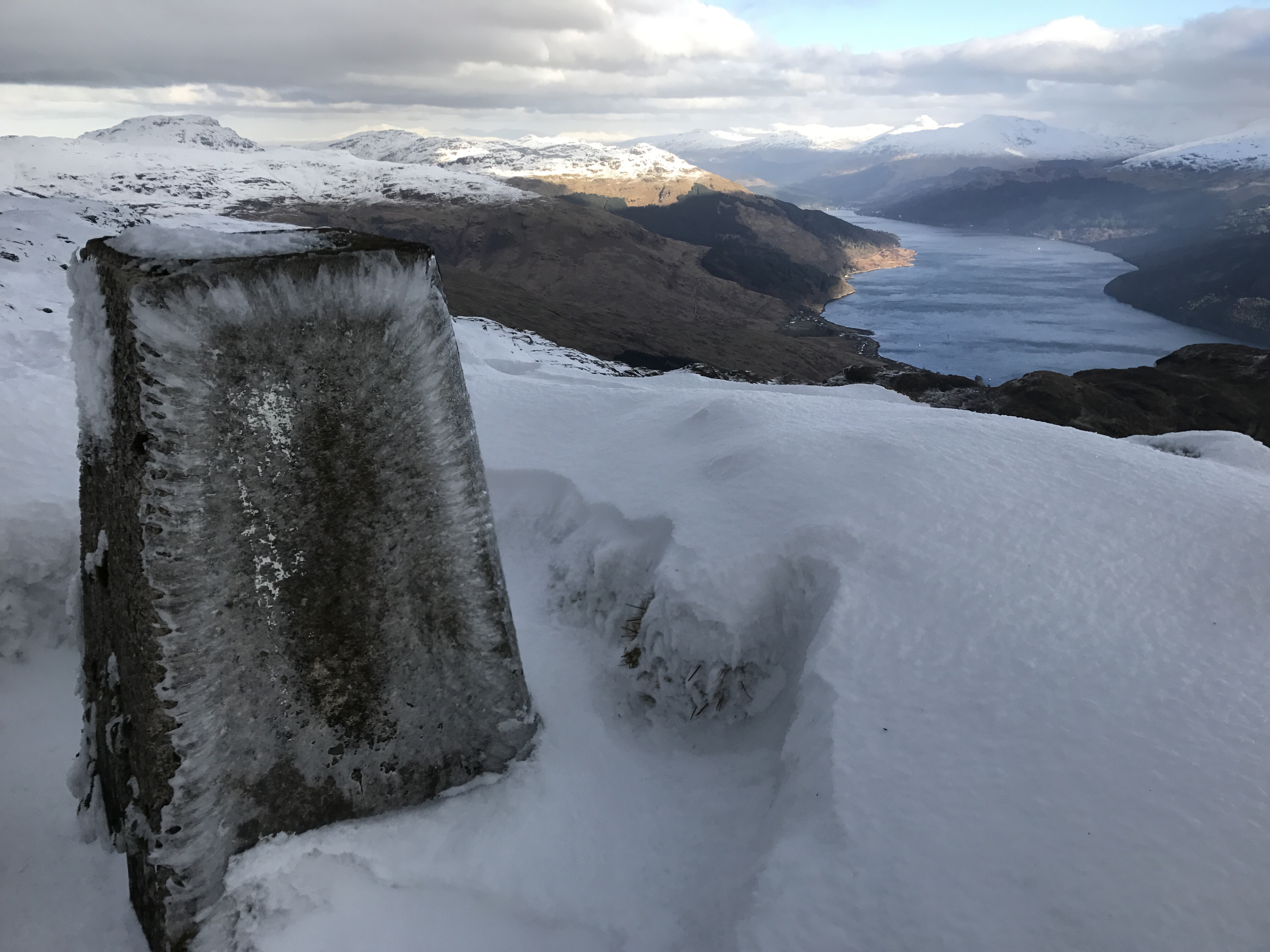
Snow drifts and the trig

Summit Trig
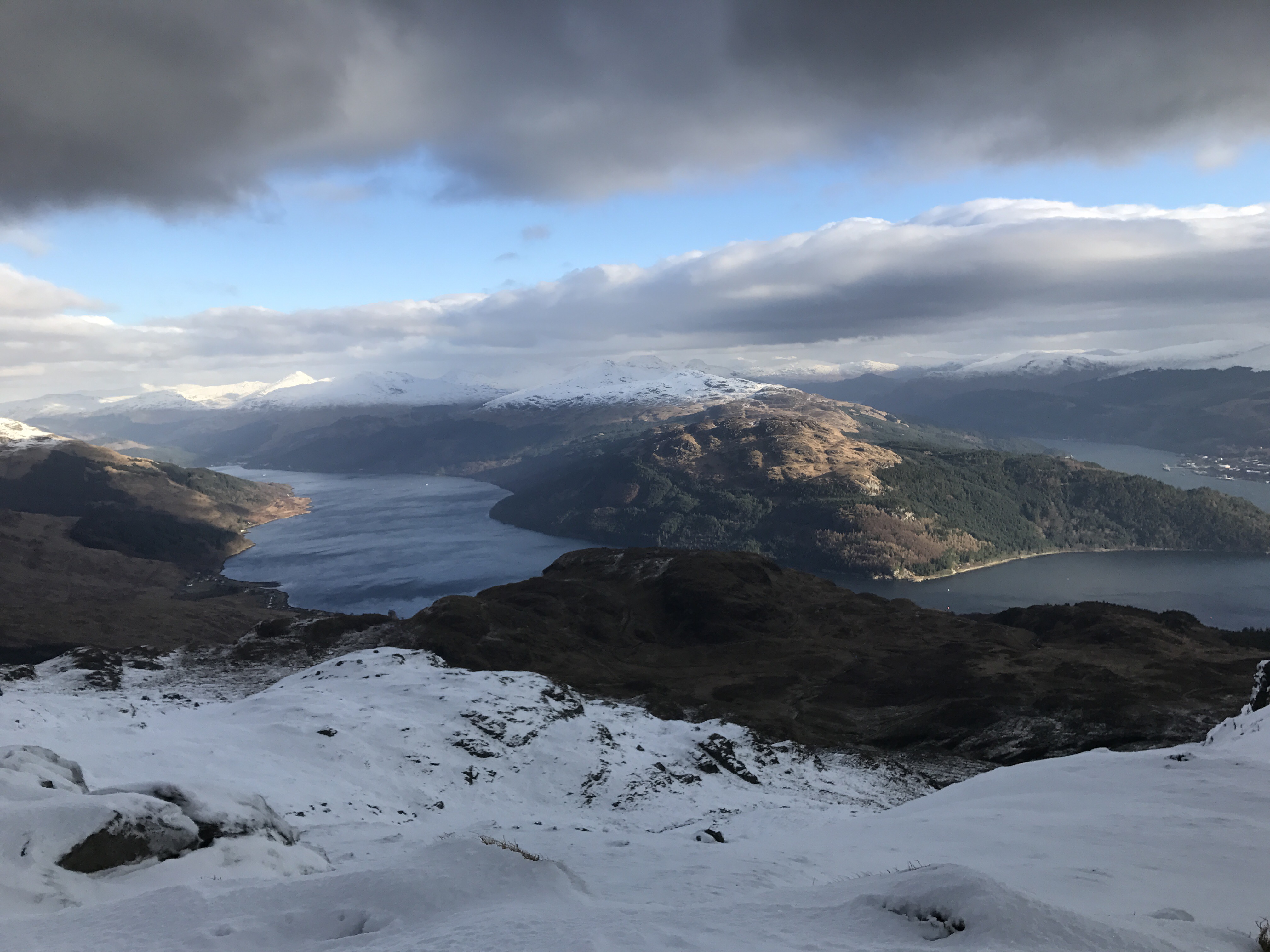
Loch Long and Loch Goil.
360 view from the summit.
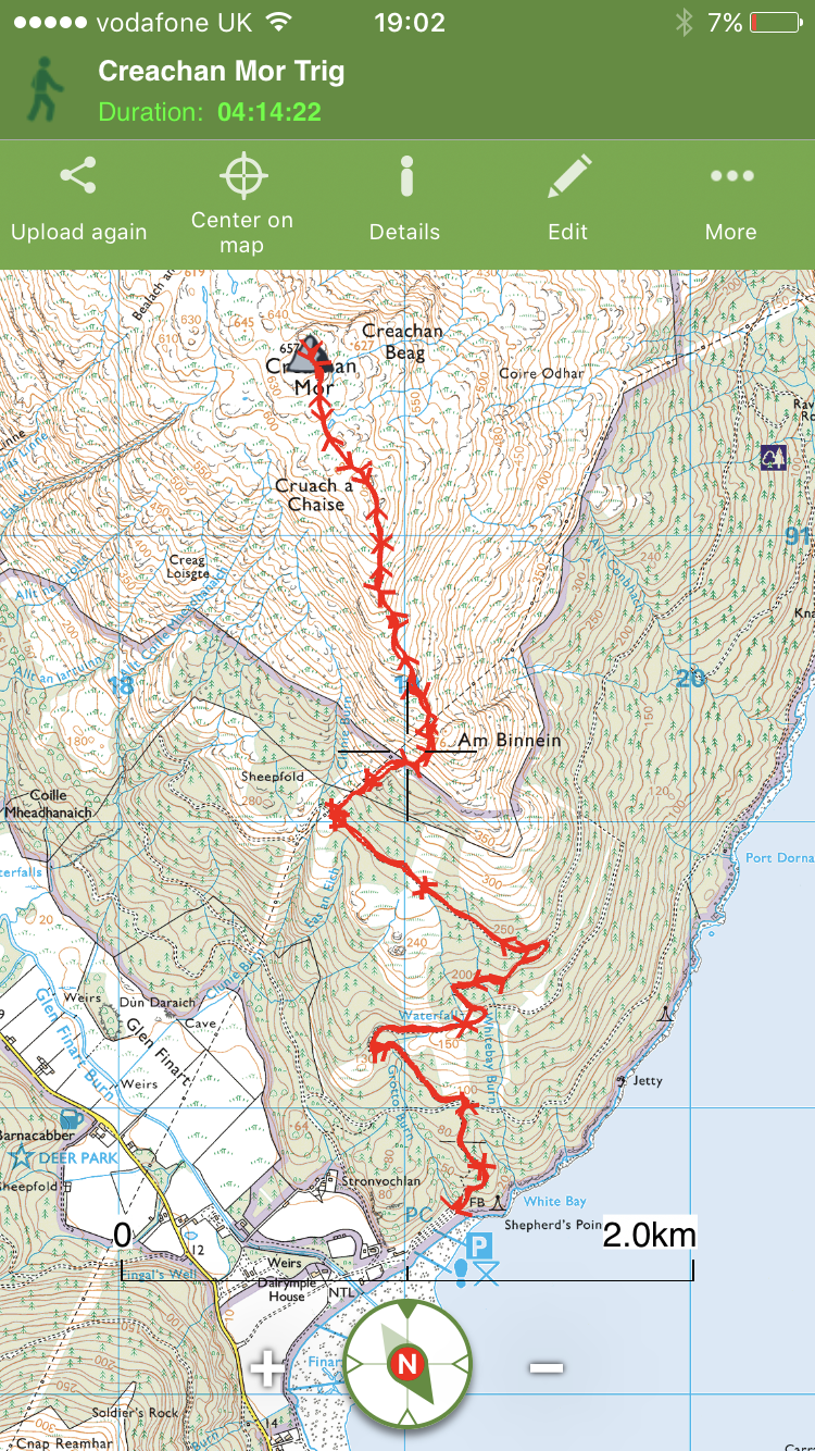
The route.
Interactive map with photos and stats available by clicking HERE.
