A walk I’ve been wanting to do far a while. Originally intended on doing this in January but on advice I waited till the shooting season has finished. Pheasant season finishes on the 1st of February and starts again 1st of October. The early part of the year is a good time to do this walk as all the bracken has died back, making it easier to navigate the path.
The footpath joins up two shooting estates that border the shores of Loch Striven and connects the C10 to the B836.
It’s a Right of Way as publicised by HERITAGE PATHS that covers just over 4.7 miles each way following an old track through natural woodlands between the two esates.

There isn’t any signs for the Pathway on the Glenstriven side,so it’s advisable to get a copy of an OS Map. The path is detailed on both 1:50k and 1:25k.
Starting off from Glenstriven it was an easy walk through the estate,firstly turning left onto the shore road and following it past the cottages,over the bridge and uphill to the turn off point.
")
Parking
")
Start of the Estate
")
Paved access
")
Shore Rd
")
Past the cottages
")
Boathouse , looking back
")
Left,down towards the shore
")
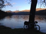
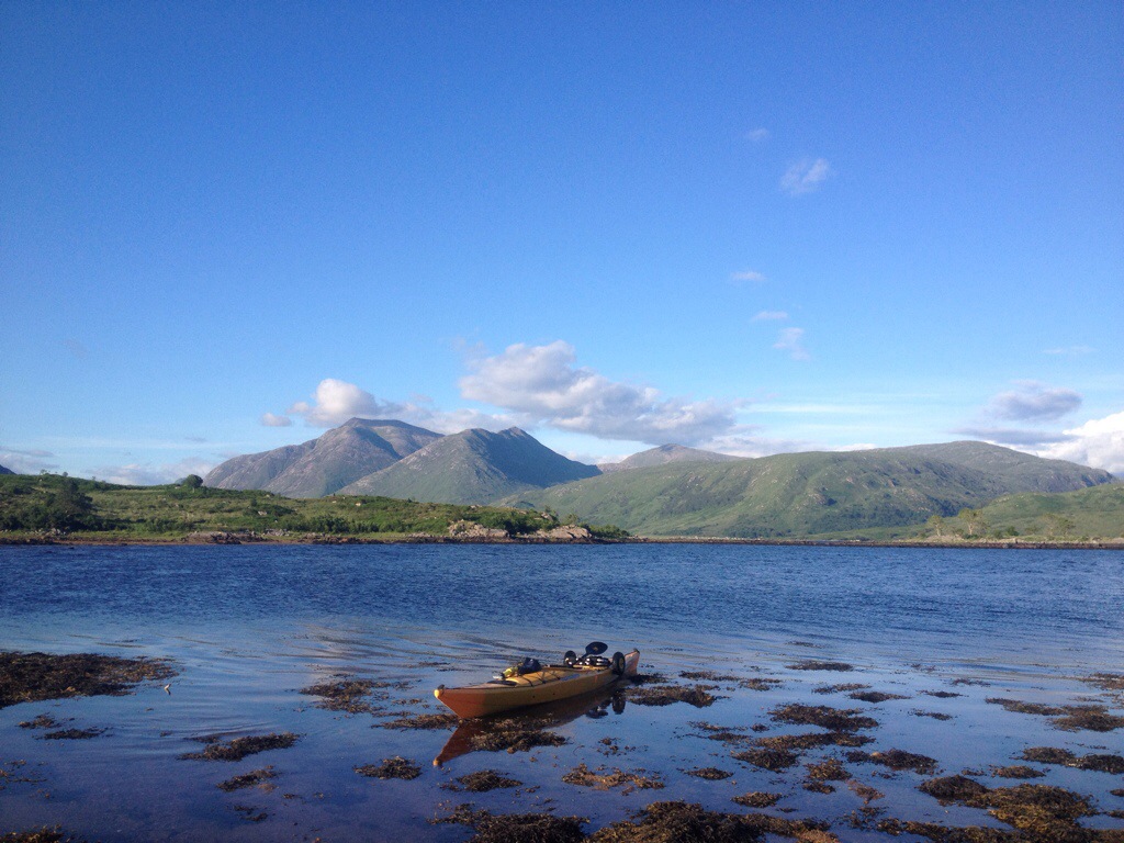
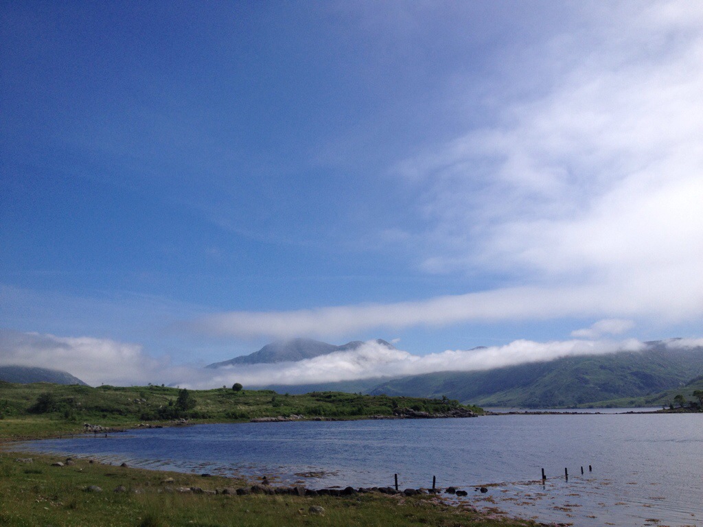
Loch Striven
")
Continuing uphill
The turn off at apex of the bend.

Once on the track there was an option of left or right,right being the wise choice. The path is defined by a narrow track winding its way through the heather then on to more open ground and woodland.
")
Narrow trail
")
Open hillside
")
Ardbeg ruins on far side of Loch
")
Old gate
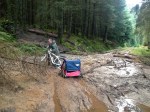
The map shows a number of Fords to cross,but these are easily negotiated.
The remainder of Bot nan Creagan can also be founf en route.
")
One of the Fords
")
Path
")
Sheep fank ?
")
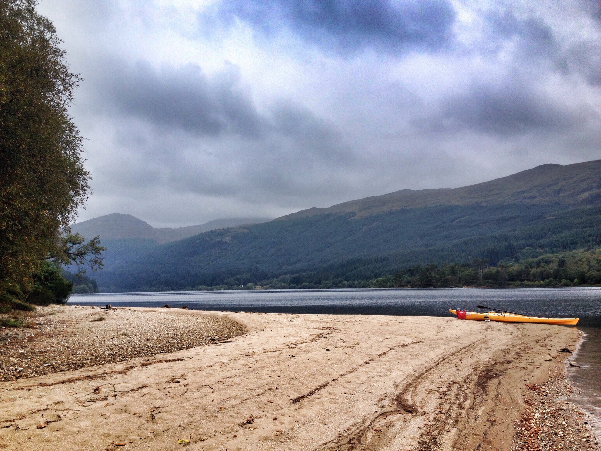
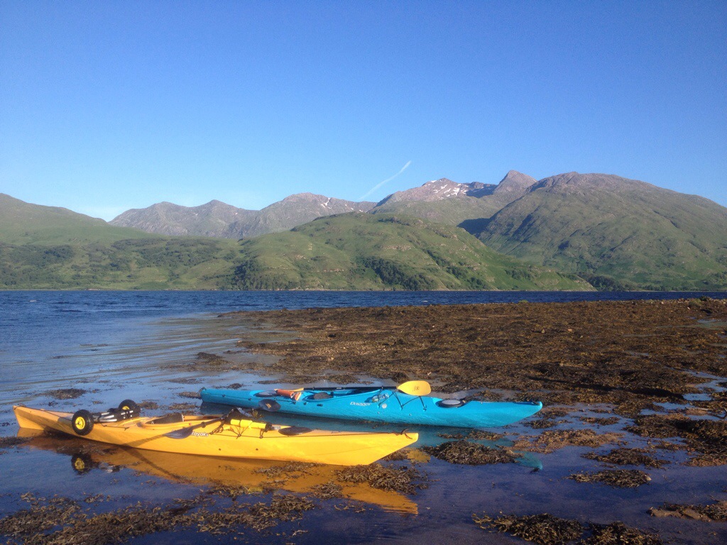
Views up the Loch
")
Ruins of Bot nan Creagan
Onwards to Ardtaraig,the path still well defined. Some sections do fade away but are picked up again in no time. There’s a number of trees down over the path,but these are easly negotiated either by threading yourself through them or going round the obstacle.
")
Path
")
PAth
")
Trees down
")
…and cleared
")
Loch n hills
")
Pass the boulder

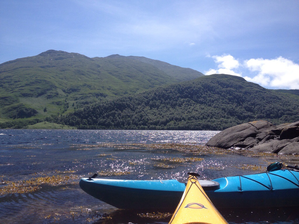
Mussel Farm
The gated Boundary between the Estates.The Ardtaraig side is the smaller section,once through the gate its a short section of path then onto the hardcore road. I went round the front of the first house/chalet along the beach then up onto the road.
From here it’s straight on towards the big house then passing to the right of the barn with green doors.
")
Boundary Gate
")
1st Sign
")
Short path section
")
Shore at the Chalet
")
Road
")
Stile
")
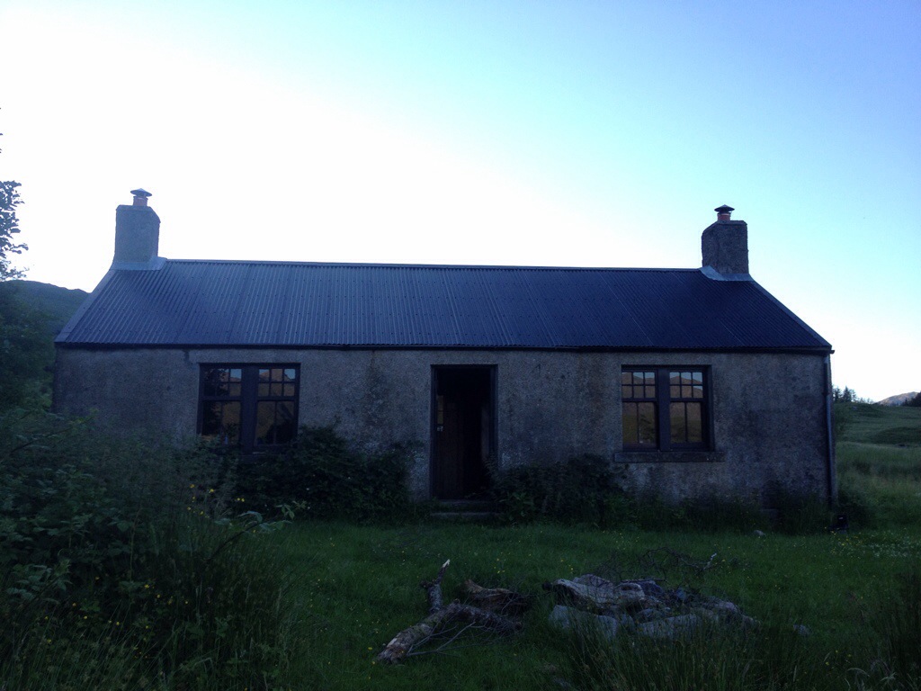
Ardtaraig house
")
Pass to the right of the building with green doors
The final section once through the back of the estate is to pass the next barn to the right,heading over the bridge and follow the path as it winds it’s way to the B836, you have arrived at your destination! Well…retrace your steps to pick up the car!
")
Shed/barn,pass to right
")
Final section of path
")
Gate to main road.
")
Pole…but a missing sign
")
Looking back down the path from B836
Some pictures of the signs i never seen on the way in. There is also some old faded tape round a few trees.
")
Return Sign
")
..and another
")
Tape
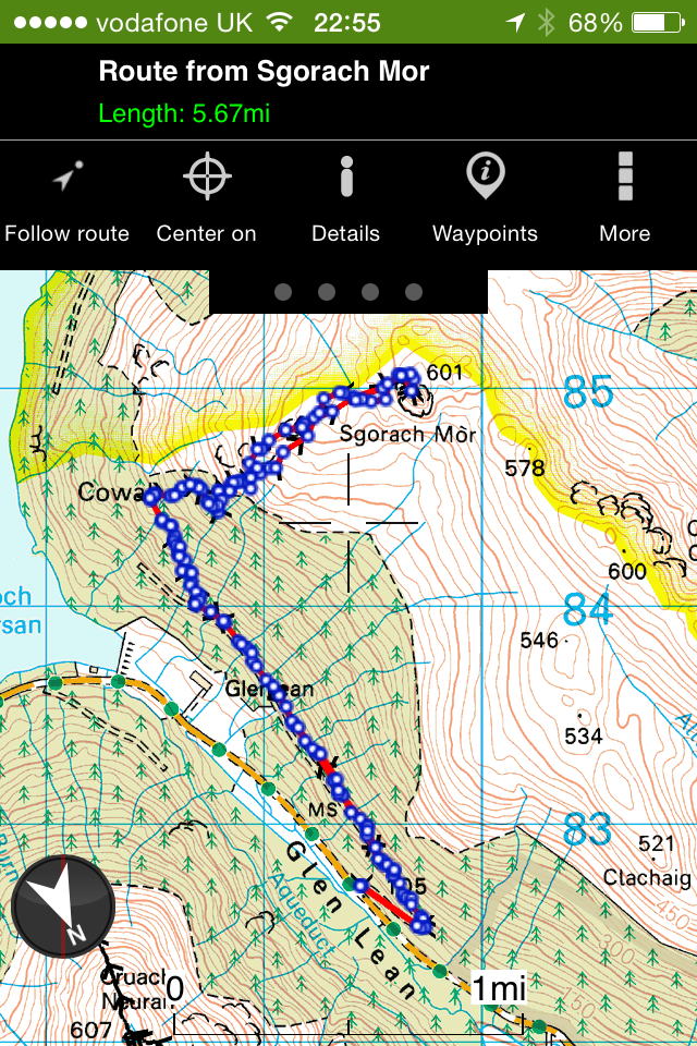
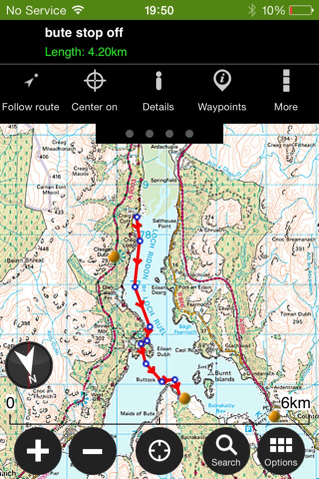
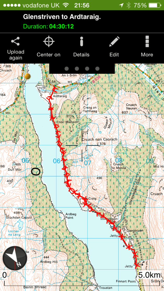
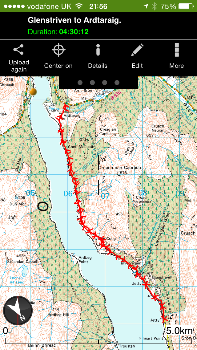
A fully interactive map is available by clicking HERE. Contains locations of pictures and some stats.
Basic map.
Useful links
Heritage Paths
Glenstriven Estate
Can’t find anything for Ardtaraig.


")
")
")
")
")
")
")
")
")
")
")
")
")
")
")
")
")
")
")
")
")
")
")
")
")
")
")
")
")
")
")
")
")
")


")


")


")

")

")


")

")
")
")
")

")
")
")
")
")

")


")

")
")
")

")


")


")
")
")
")
")
")
")
")
")
")
")
")
")
")
")
")
")
")
")
")
")
")
")
")
")
")
")
")
")
")
")
")
")
")
")
")
")
")
")
")
")
")
")
")
")
")
")
")
")
")
")
")
")
")
")
")
")
")
")
")
")
")
")
")
")
")
")
")
")
")