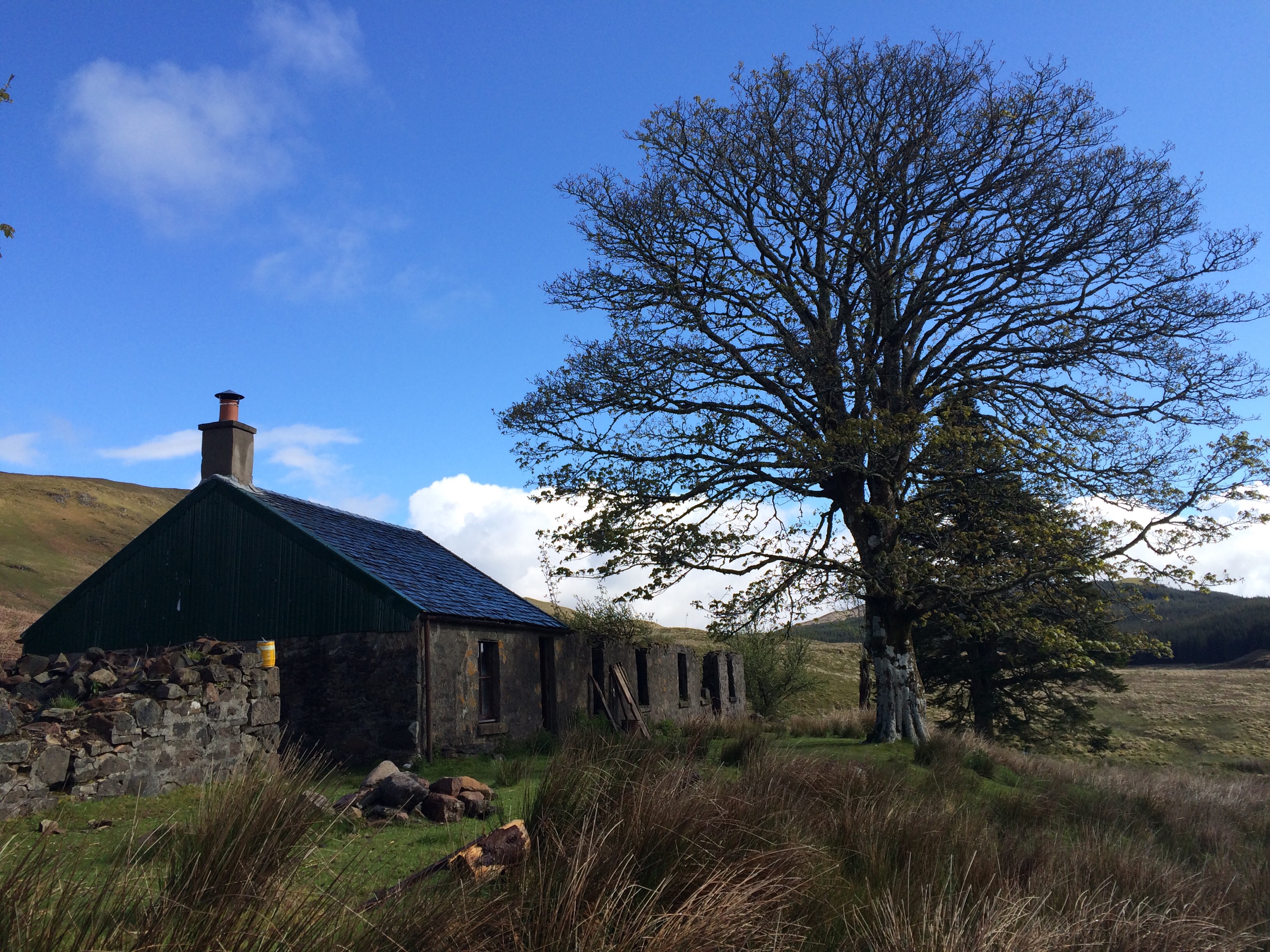
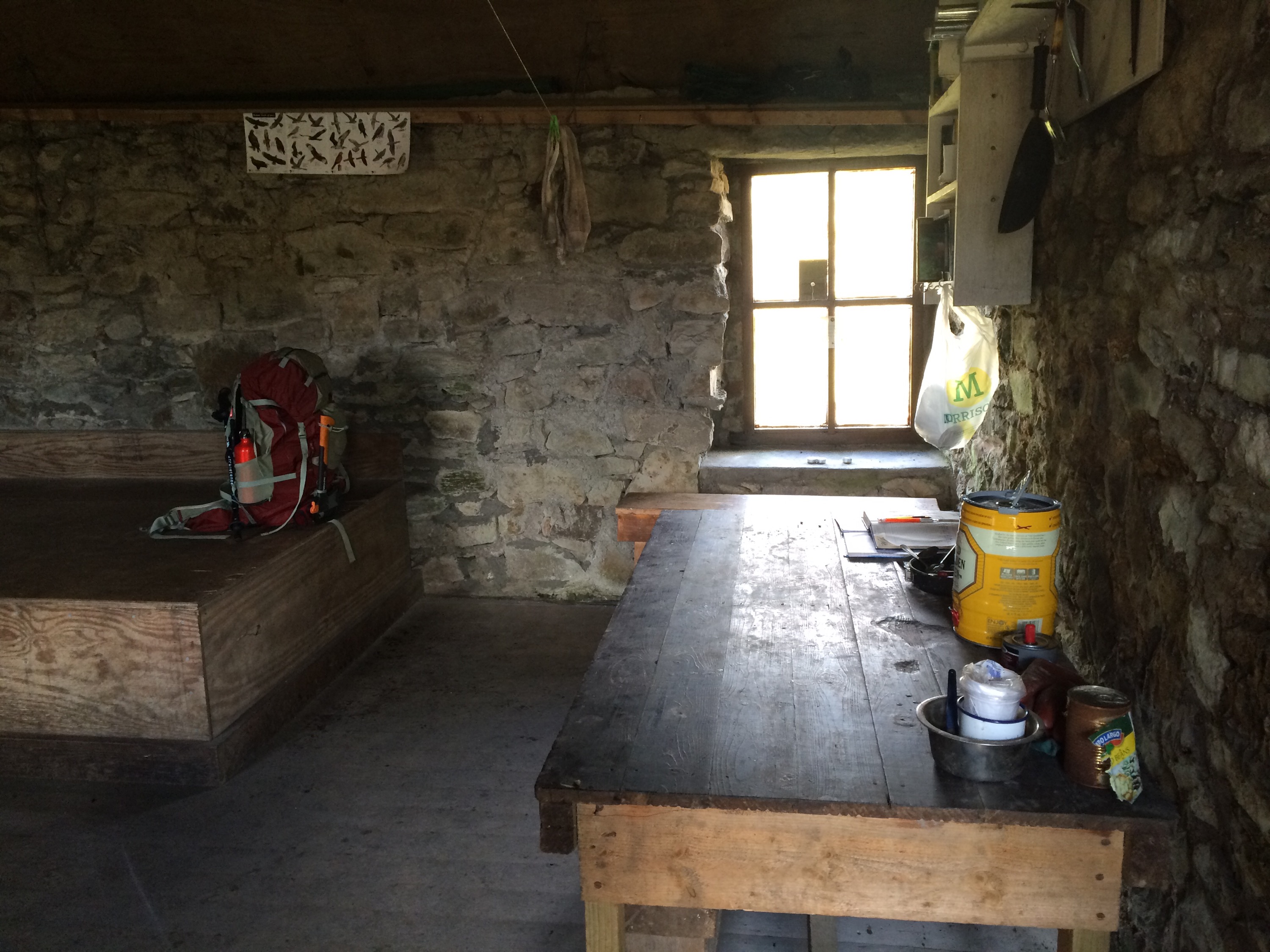
Another trip out. Headed for Duror Bothy for the night. Maintained by the MBA.
Large single room bothy. Built in stove on one gable. Large U shaped raised sleeping, plenty of floor space. Large table and bench, other featured seating.
Fuel: Various location prior to and surrounding area.
Altitude: 214 mts
Bike friendly : 10/10

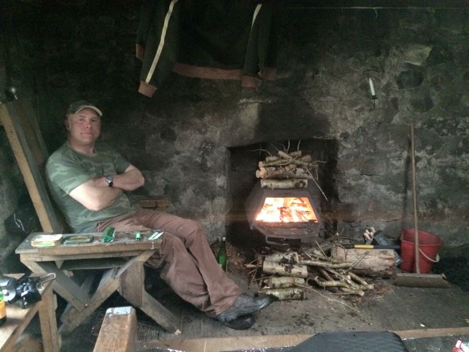


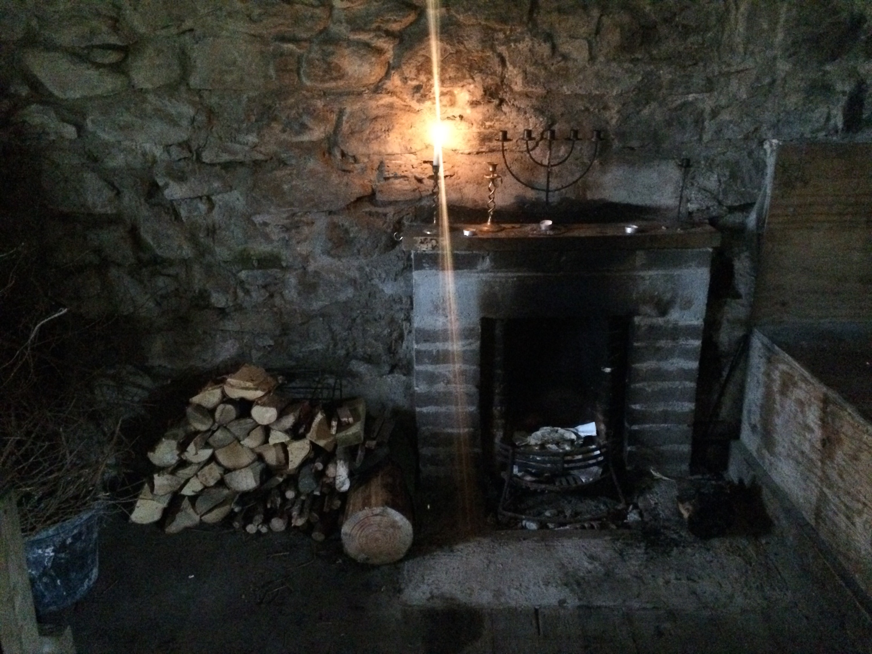
Carron Bothy,maintained by the MBA.
An overnight stay at the fantastic Carron Bothy.
Single room with raised double sleeping platform. Plenty of floor space with two tables and two benches. Fireplace with grate.
Fuel: Fallen timber in nearby forest.
Altitude: 195 mts
Bike friendly : 7/10


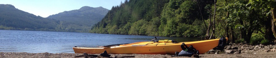
First paddle of the season resulted in a camping trip to the West shore of Loch Eck.
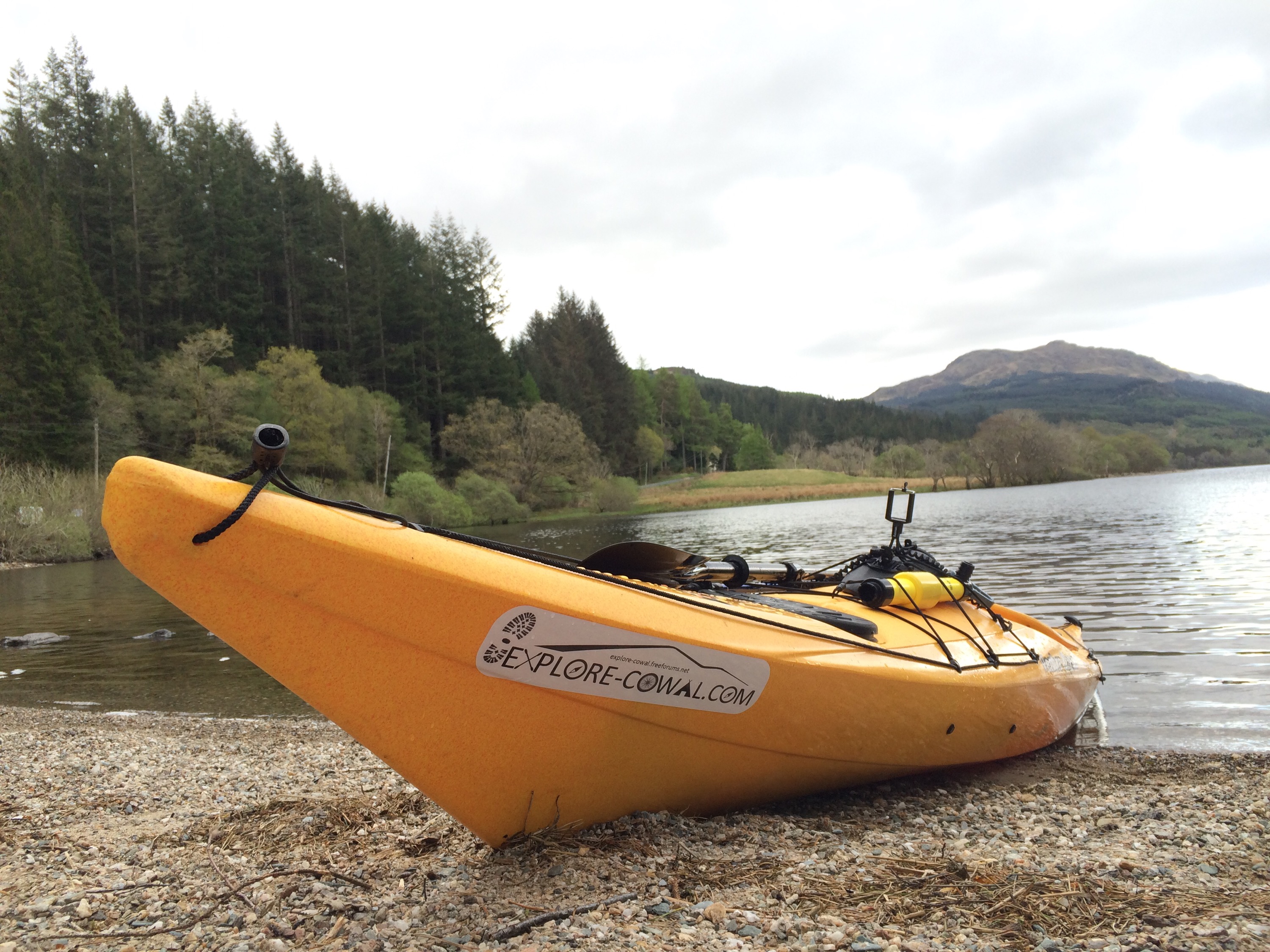


Video of trip
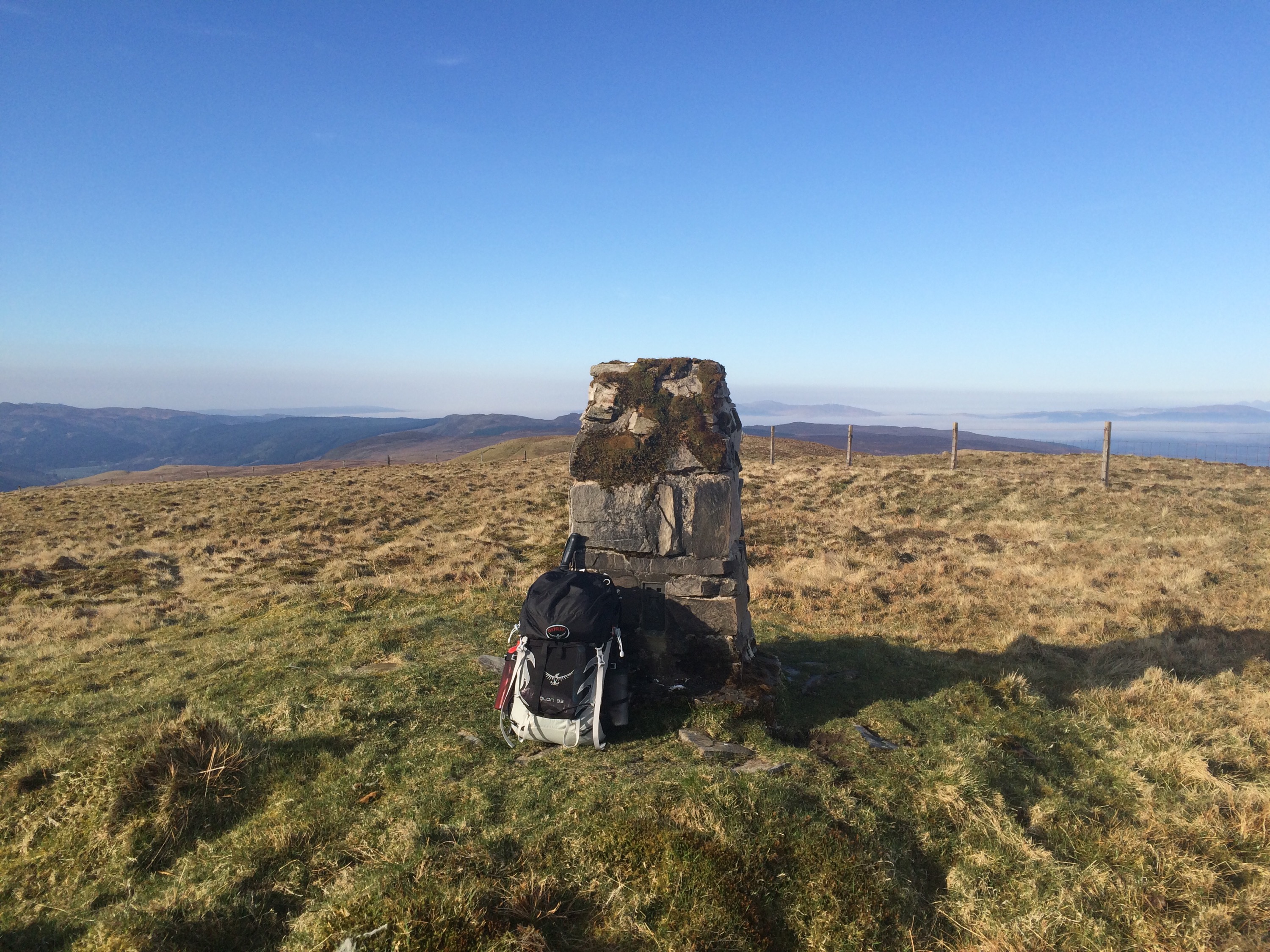
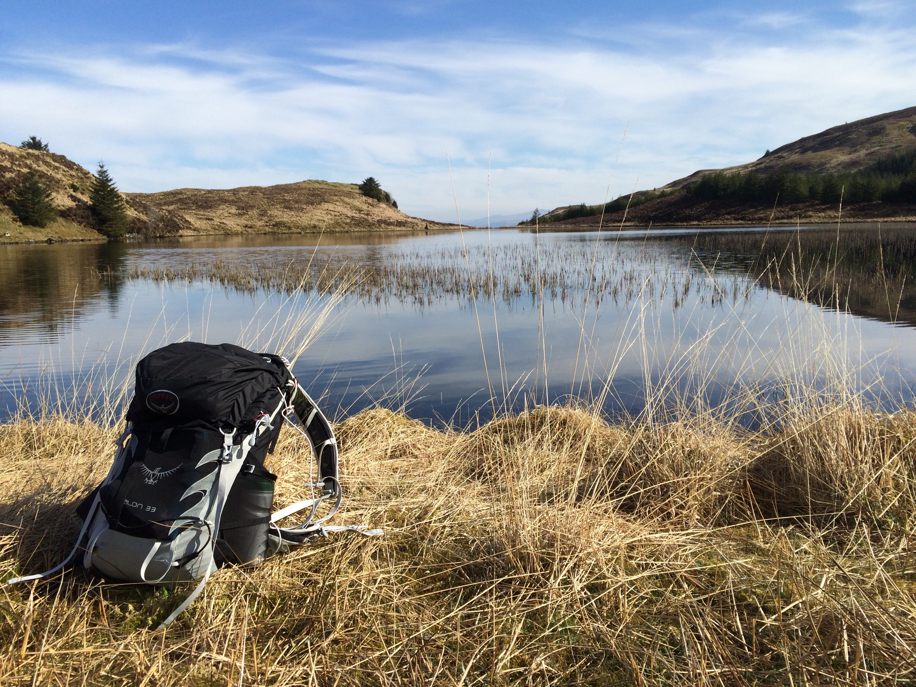
A trip to an area I’ve never visited before, the hills above Glendaruel/Srtathlachlan. Initially my plan was to visit the Lochain but with some extra time on my hands I decided to go for the trig point as well.
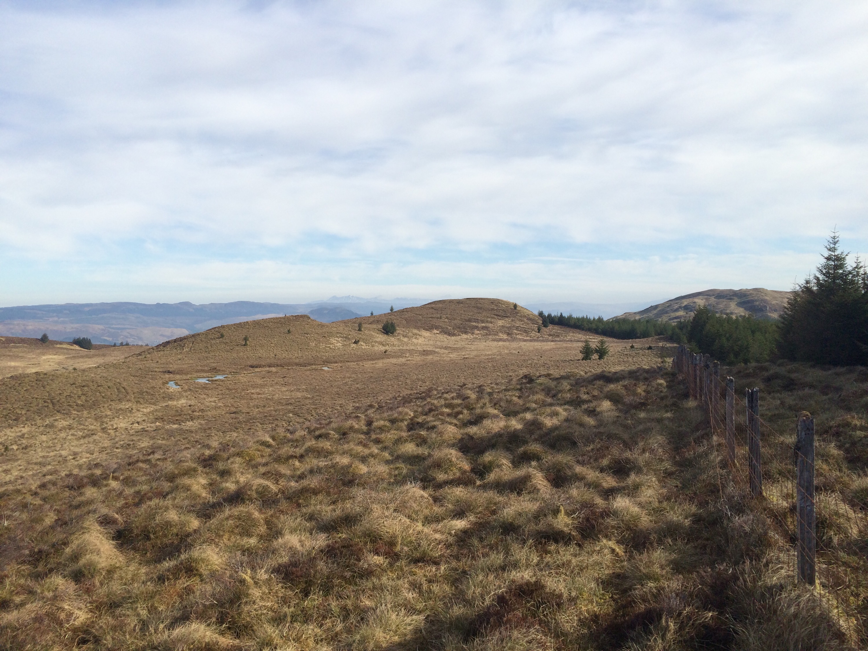
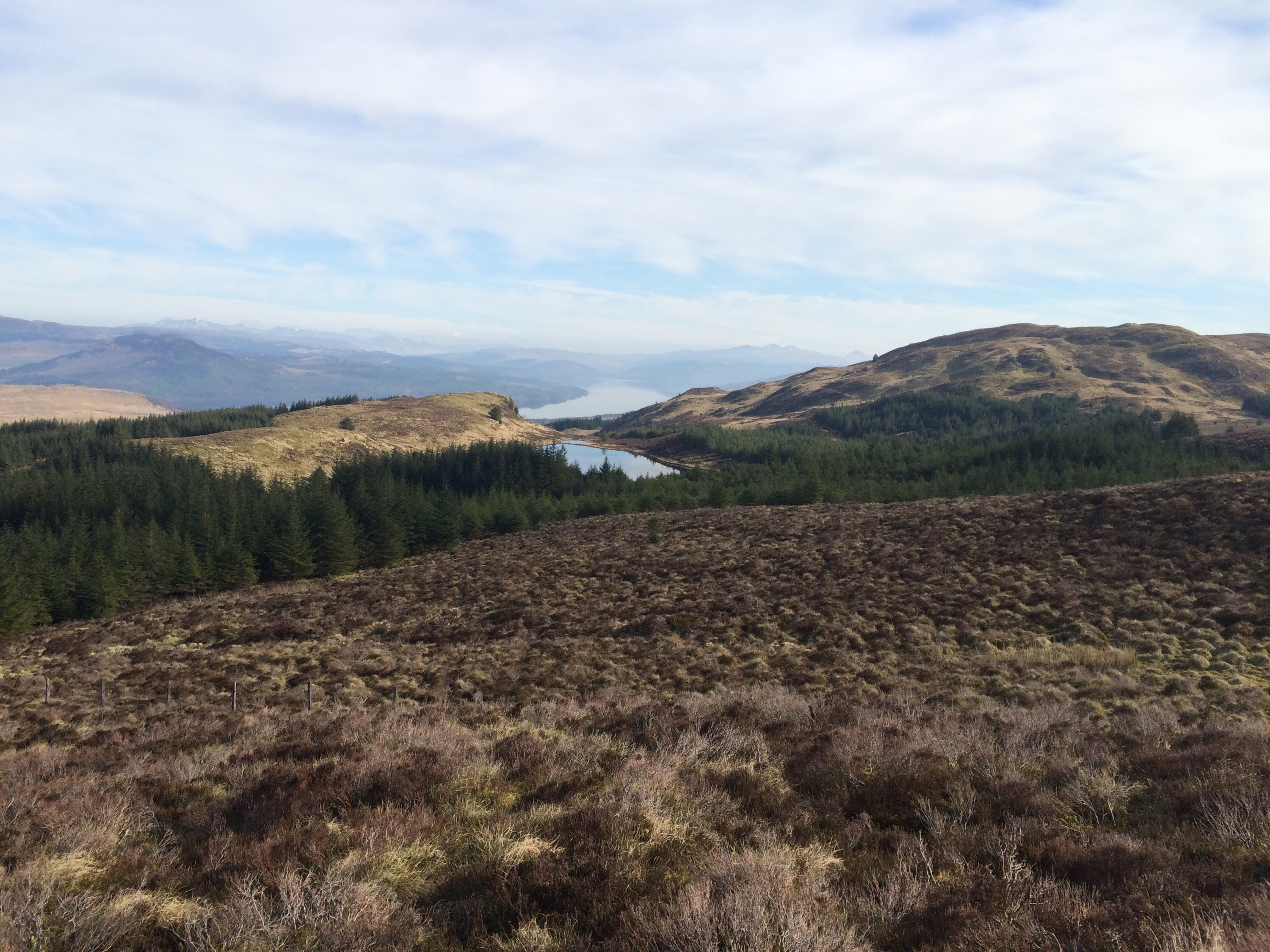
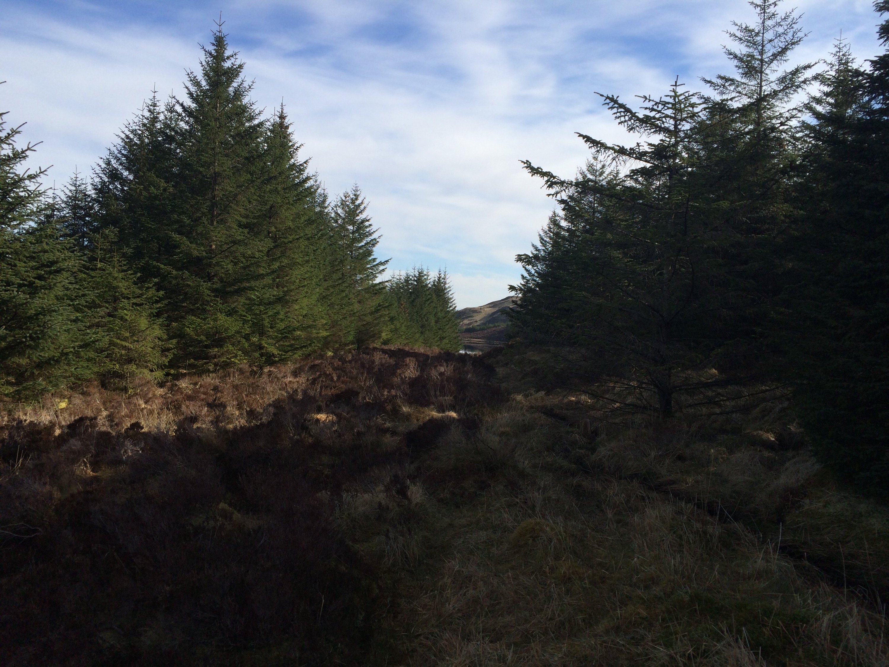
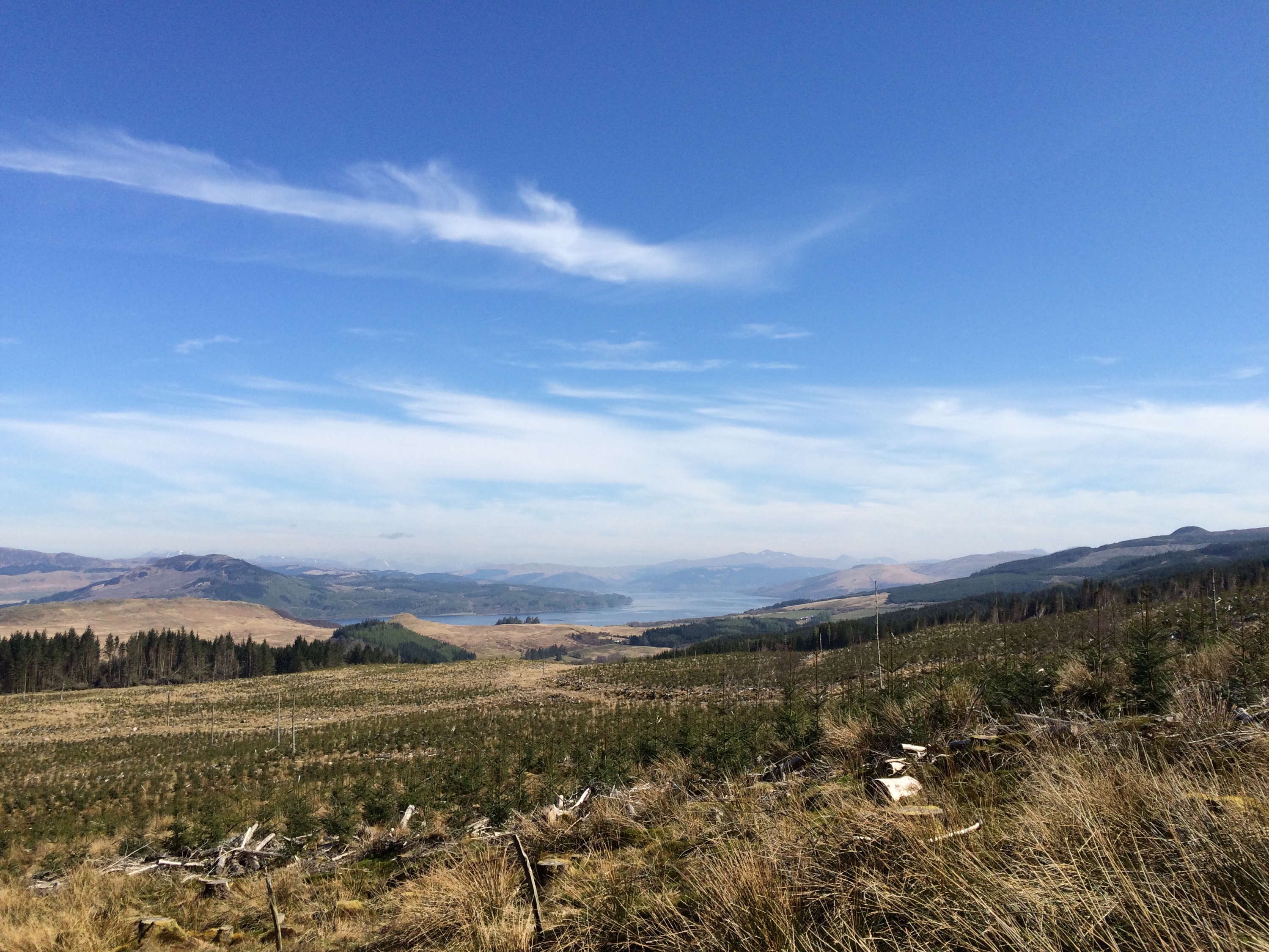
Setting off from the forestry road at Garbhallt, joining an atv track and finally onto the open hill where you can choose your own route. A fence line on the open hill aids navigation over the tussock strewn landscape. Once the trig was checked off the list, it was time to head for the Lochain. Not before taking in the views over to the Paps of Jura. Unsure of how to approach the Lochain it was a case of heading to the highest vantage point to check for access. Couldn’t see much on the way of access so headed for a burn that showed on the OS map, a wise choice as the clearing at the burn lead straight to the Lochain.
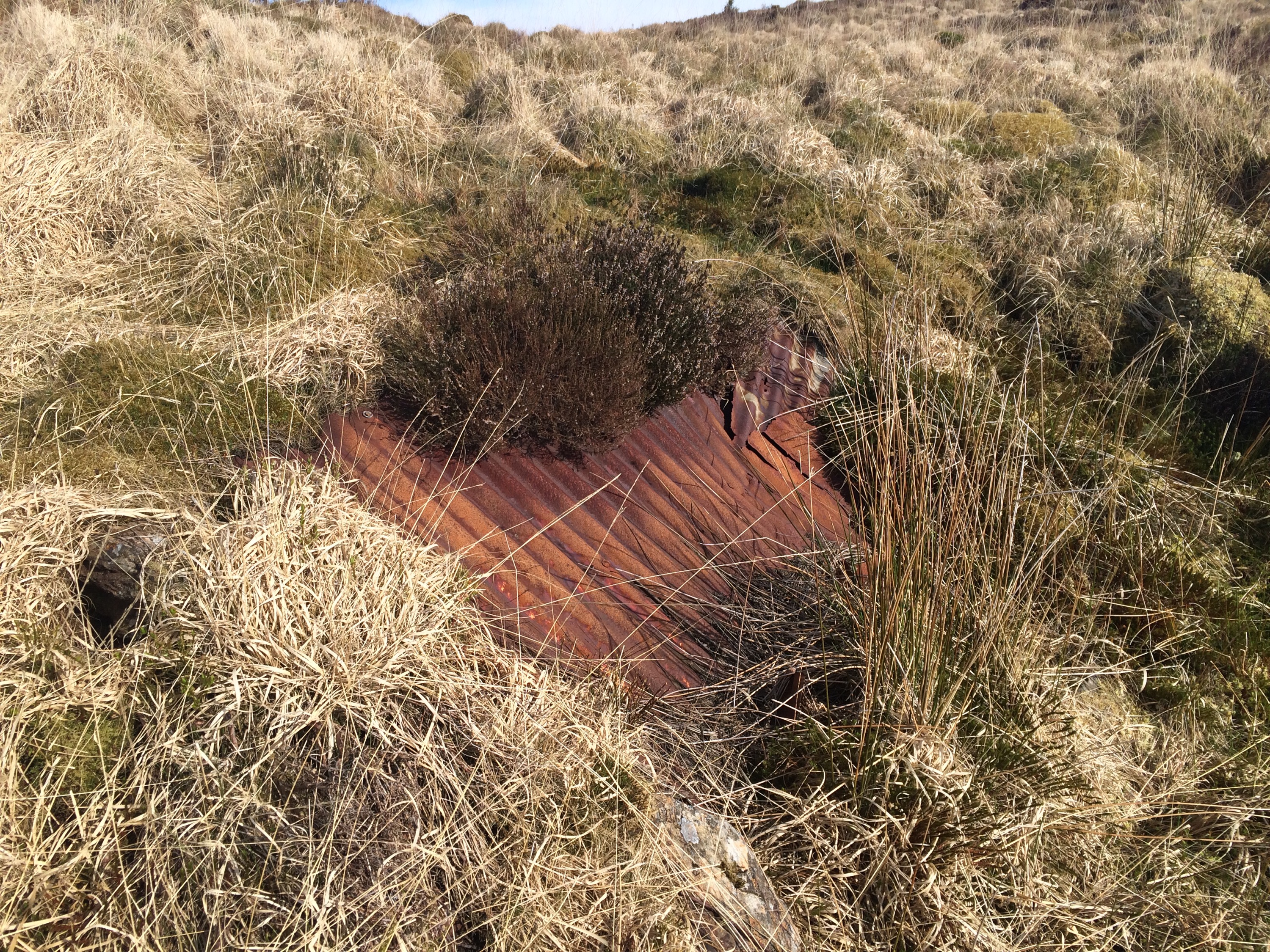
The Lochain was stunning, lying low, surrounded by the hills, hardly a breath of wind. The OS map indicated there was a boat house, however only a few bits of corrugated iron remain. One I’d circumnavigated the Lochain I headed back via the access route and back down to join the ATV track.
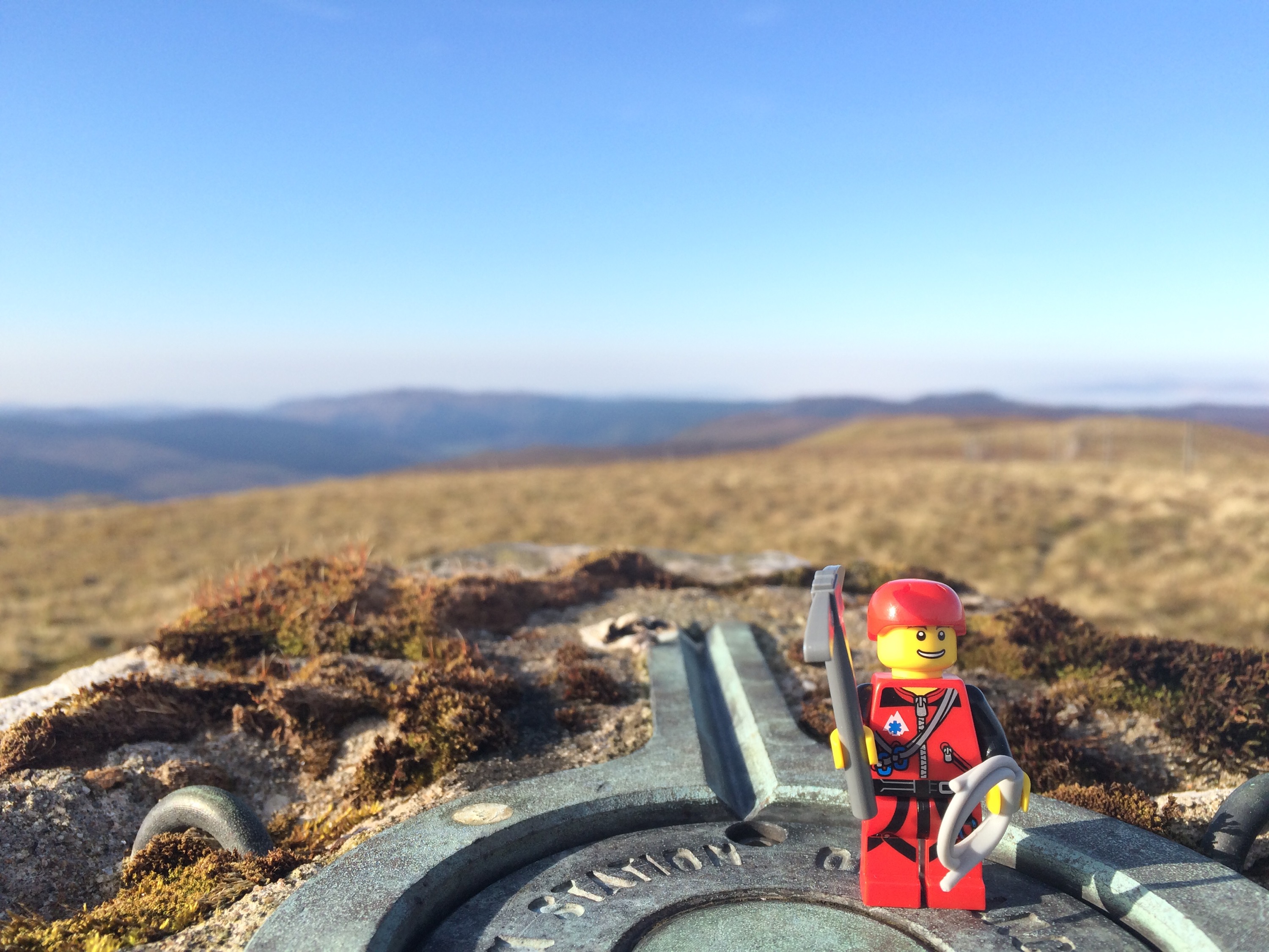
To the Trig.

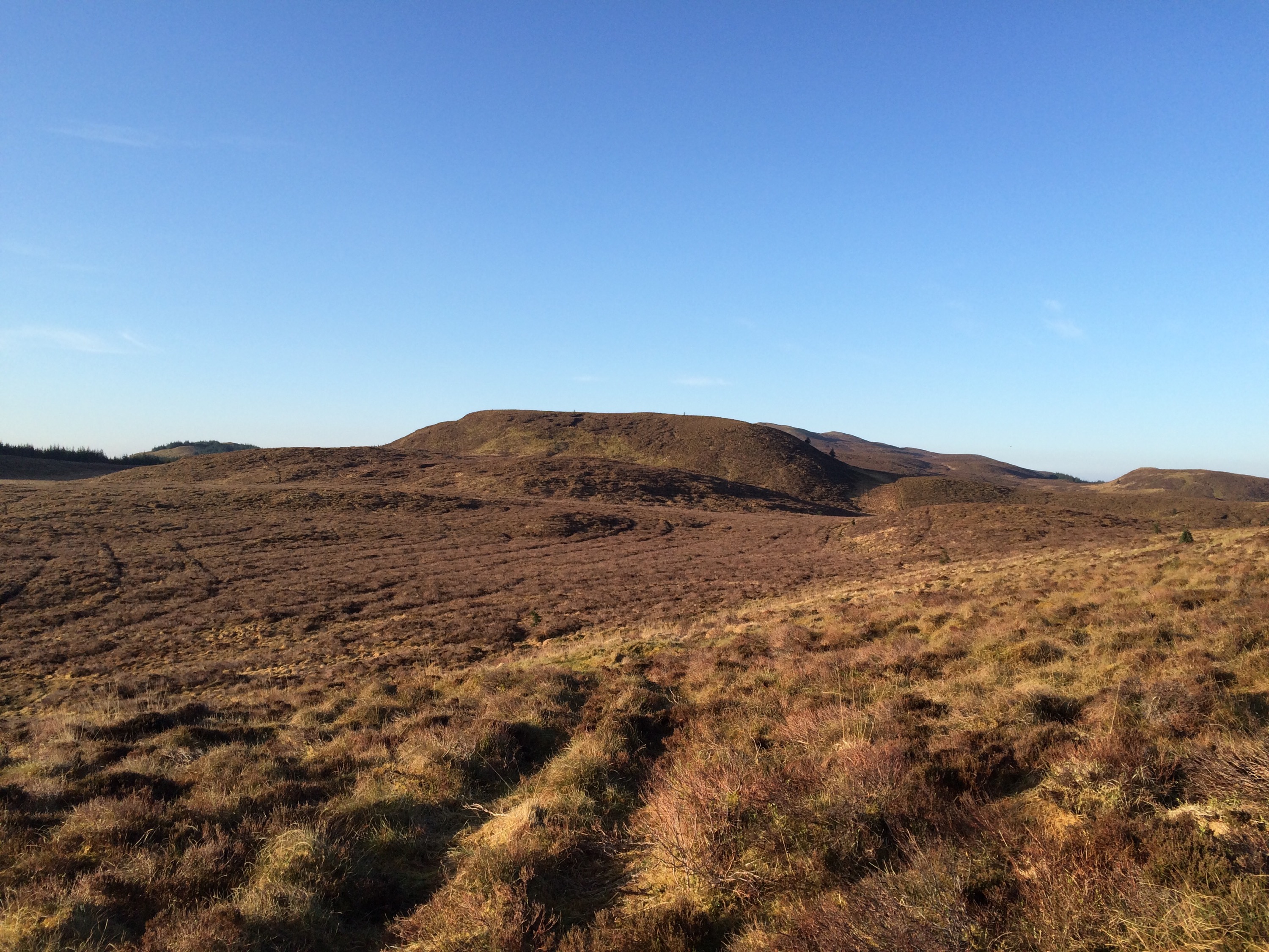


To the Lochain.

Fully interactive Map with additional pictures and stats click HERE
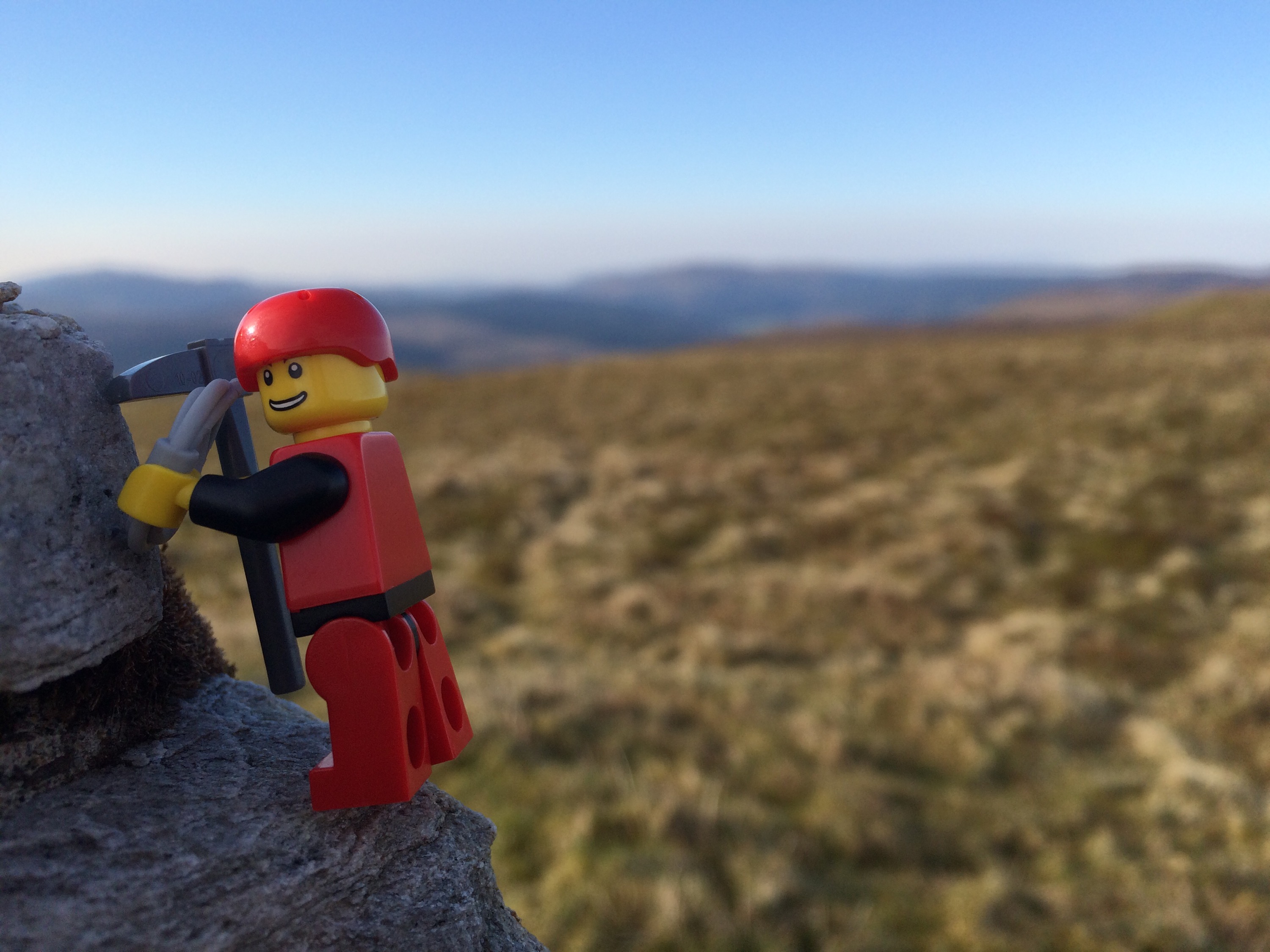
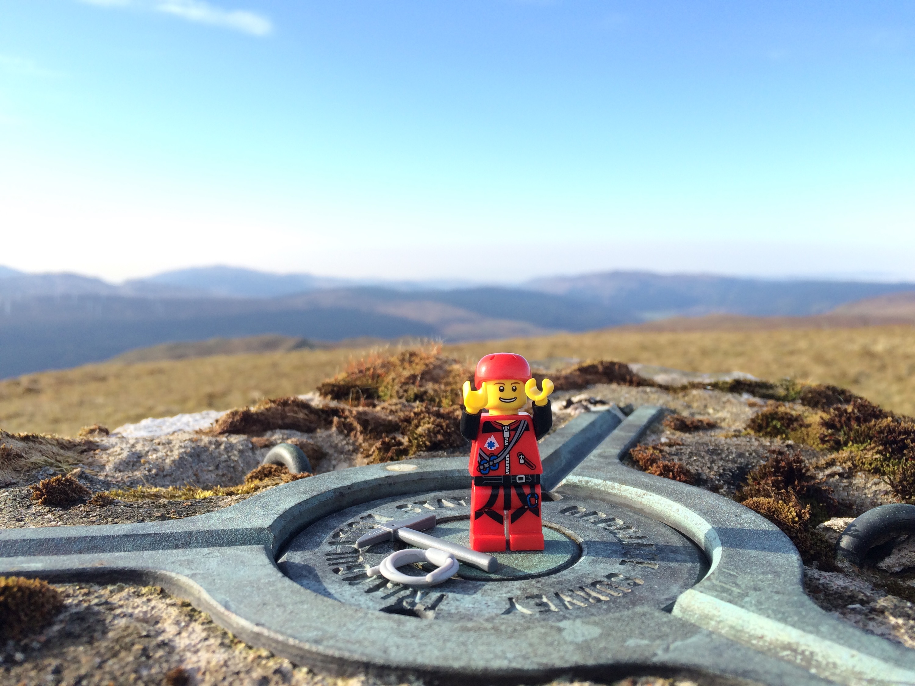
Just for fun……..


Simple……..just for fun. 😉
Kilbridemore Trig above Loch Fyne. 

Loch Eck trig, Arrochar Alps in the background. 
Beinn an Lochain above the A83


Taking a break within the forest ops above Dunoon _ Remeber do not climb on timber stacks like these wee bafoons.

Ben Lui and Beinn a’ Chleibh


Stob Dubh and Stob Coire Raineach, Buachaille Etive Beag


……….The Gruffalo Trail.
A great walk round Arkinglas Estate today. Mainly to find the Gruffalo, but the trees and shrubs can’t be ignored.


")
")
")
")
")
")
Plenty of info on the Gardens by clicking HERE
Kilbride,Blue route. 3 miles.
One of the many routes that can be can be found starting from Kilbride car park, as indicated on the information board located on site.

Forestry roads and hardcore paths provide good underfoot conditions,although the terrain can be uneven at times.
")
")
")
")
")
")
")
")
")
")
")
")
")
")
")
A great walk giving great views over Dunoon,Inverclyde and beyond………..a grear pre/post work walk.
A fully interactive map with pictures and stats can be found by clicking HERE
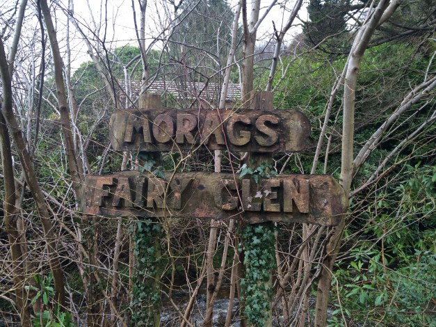
A trail through natural woodland, with waterfalls and bridges. A great family walk situated near the West Bay, Dunoon.
Numerous paths wind their way round and up the Glen. Taking the lower paths will lead you to the bridges that span the water of Berry Burn.
A mixed route of pathways and formed steps, not forgetting bridges.


You never know…..you may spot a fairy!!!

If the kids aren’t tired after the Glen, there’s a swing park and beach close by!

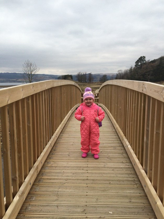
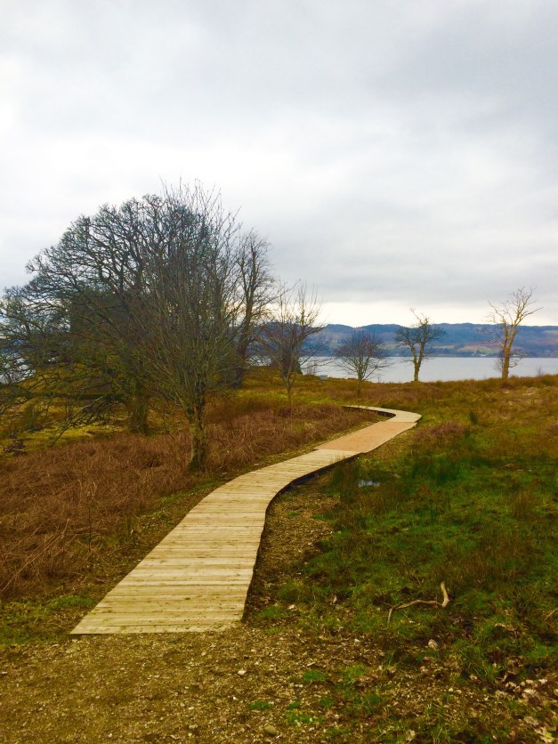
Its been a while since I was last here. Last trip was well in advance of the new walkways and bridge, in fact I think it was prior to the old bridge getting washed away!!
A recently upgraded pathway , makes it accessible for all. A great walk for the wee one, with a rocky beach and Castle at the end.
A meal or refreshment can be had at Invercottage, situated at the start of the walk, although it was still shut for the season on my visit.


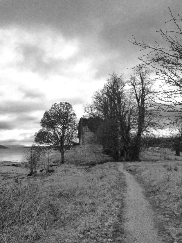
The Castle is currently undergoing structural works.

