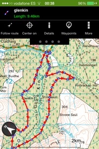
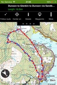
Another great cycle. Heading out on forestry roads and returning on main roads.
10 ish Miles.
Whilst I’m not a great fan of cycling on main roads, at the time the route worked for me. Again, there’s plenty of options of start/finish/turning points if you want to extend/shorten the route ( Kilbride car park,Ardanadam etc).
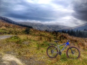
I chose to start at the top of a John Street in Dunoon. Easy access onto the forestry road which pretty much climbs all the way till your above Dunan.
There’s some great views over the town before you take a left where the road splits,climbs and continues through a gate up to Dunan. There’s a mast on the bottom side of the road but continue straight ahead on the new section of link road.
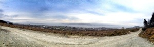
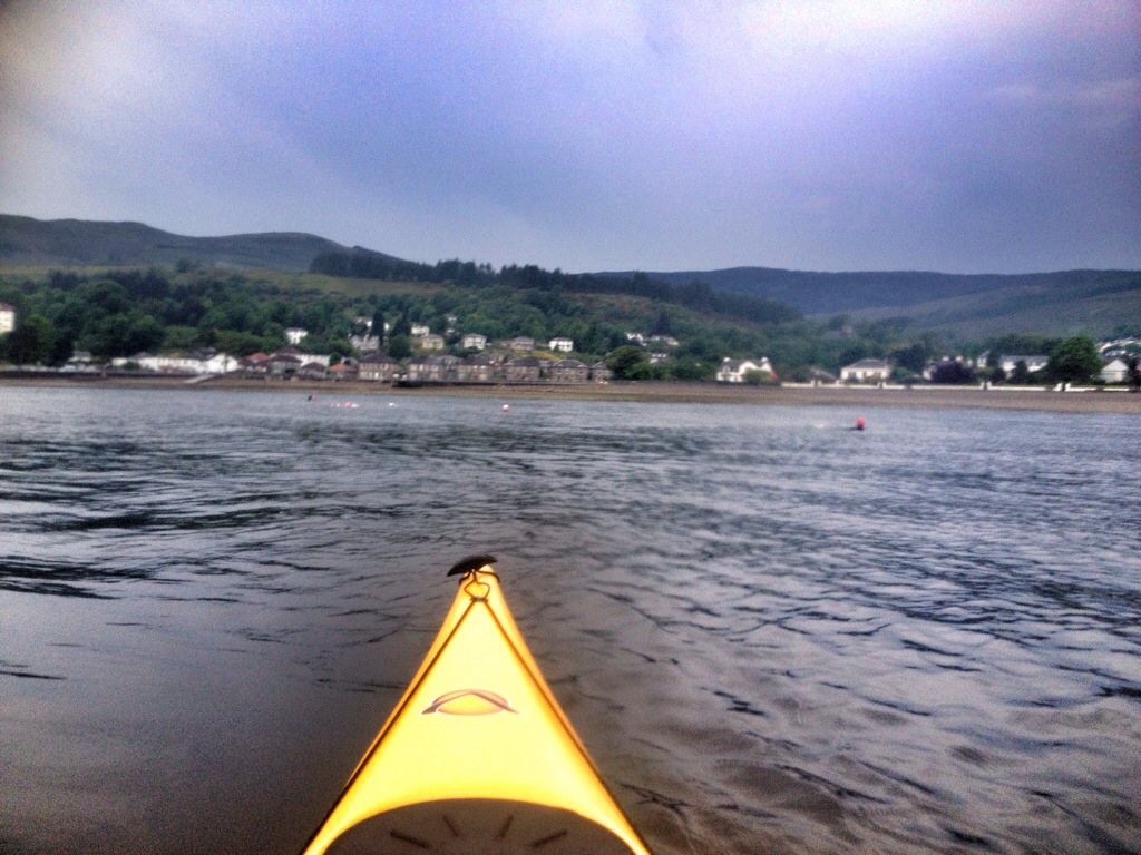
View over Dunoon and beyond,prior to where road splits
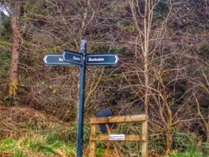
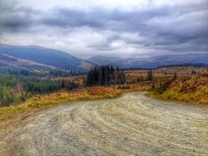
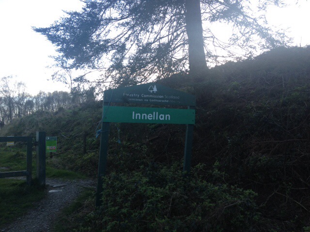
It’s an easy cycle from the mast and your soon ‘bombing’ downhill till you come to a signposted junction. Here I took a left for Glenkin opting out of the shorter Sandbank route.

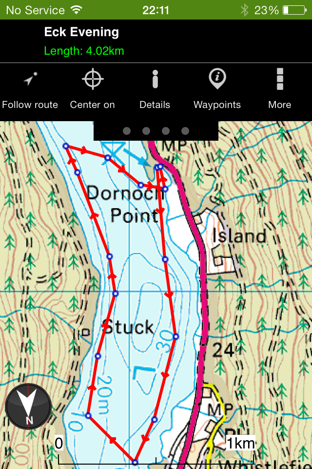
Navigational aid
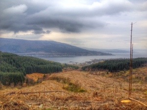
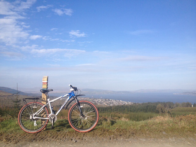
After turning left a small climb to the brow of the hill, giving views over Hunters Quay and Strone.
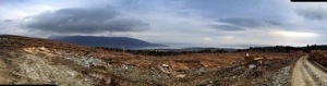
Hunters Quay and Strone
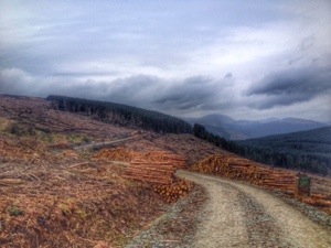
At the time I cycled this section there was quite a bit of forestry activity, so it was necessary to dismount at the loading lorries and move on when prompted by the drivers. Didn’t fancy my chances against a couple of ton of timber swinging about!

Recently harvested timber
Once through the ‘active site’ there was a great view down the Holy Loch and Ardanadam pier.

From here it’s pretty much down hill all the way to the B836. Again there’s a sign post at the next junction offering some navigation help. The Glenkin option is roughly and additional 6 miles if you fancy adding another loop.

The Glenkin 6 Mile route. The signposted junction is just left of the text for Finbracken Hill. So uphill at junction for the whole Glen or downhill for the B836
Heading downhill for the B836 there’s a sweeping bend to the right, follow this to the rumbling bridge. The road to left is the middle road that takes you to the Glenkin Outdoor centre and continues to top of Glen through two Fords.

Looking up Glenkin from right hand bend

Downhill to B836
Once on the B836, it’s down to the junction of the A815, turning right for Dunoon. Nice easy road miles,one climb on the High Road at the primary school.
Another cycle that can be done in a few hours. For me,after work or early
morning. With plenty of scope to add/subtract miles.


")
")
")
")
")
")
")
")
")
")
")
")