Explore Cowal

"Take nothing but pictures…leave nothing but footprints..kill nothing but time".

  • ‘Route Cards’
  • .Cowal
  • Bike Cowal
  • Kayak / Canoe Cowal
  • Walking Cowal
  • Wild Camp Cowal
  • ‘Useful Links’

Cowal High Way

Posted by explorecowal on August 25, 2014
Posted in: Cowal High Way, forestry commission, Trig Point, Walking. Tagged: Cowal, high, walking, way. Leave a comment

Planning on covering a route through Cowal with minimum walking on public paved roads. Whilst this can be done at lower level, I prefer off the beaten track with a bit of elevation for views. Not the easiest of walking in some areas (not defined paths all the way) , underfoot can be of varied terrain. Trying to split routes into sections that can be done in a day. Hopefully starting / stopping at points where vehicles can be left or lifts arranged,even public transport is available on some. Of course,some wild camping can be done if your that way inclined.

I’ll be updating this entry as I complete sections.

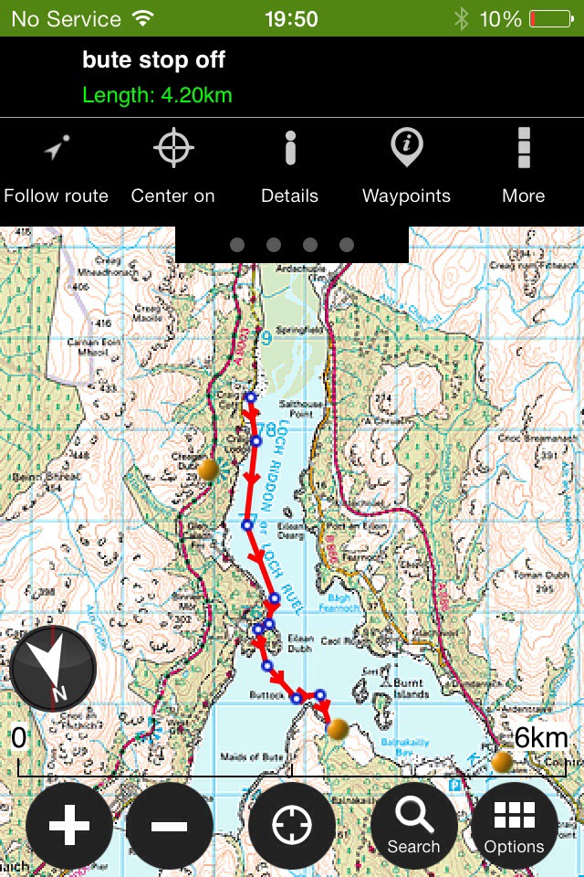
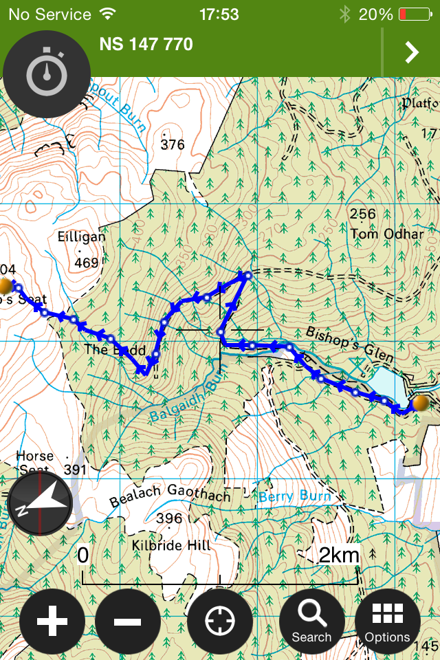
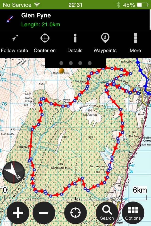
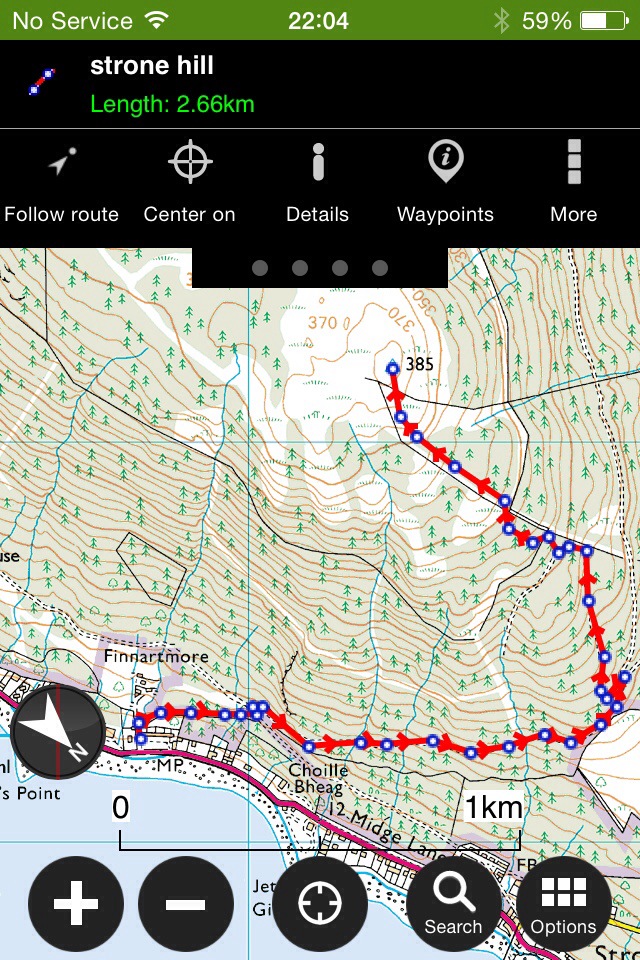
Map scale 1:25000 advisable as this shows the fence line for navigation on the latter sections.

Section 1

Dunoon(Kilbride FCS Car Park)-Bishops Seat (504mts)-Leacann nan Gall(568mts)-Cruach nan Capull(611mts)-Cruach Neuran(607mts)- Loch Tarsan (Coll dam).

Section one – Route 16kms/10 miles.

Ascent: +1229m -1167m ,Naismith: 5h 11m

Forestry road to start with then onto the open hills,navigation is aided by a fence line (which is quite convenient) once you’ve passed ‘Giants Knowe’ and contoured round the hillside.

IMG_7163.PNG

Breakdown of route 1

Dunoon (Kilbride) to Bishops Seat

IMG_7167.PNG

Bishops Seat to Leacann nan Gall

IMG_7168.PNG

Leacann nan Gall to Cruach nan Capull to Cruach Neuran

IMG_7169.PNG

Cruach Neuran to Coll Dam ( more detailed to show descent through fire break

IMG_7171.PNG

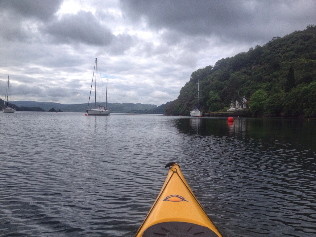
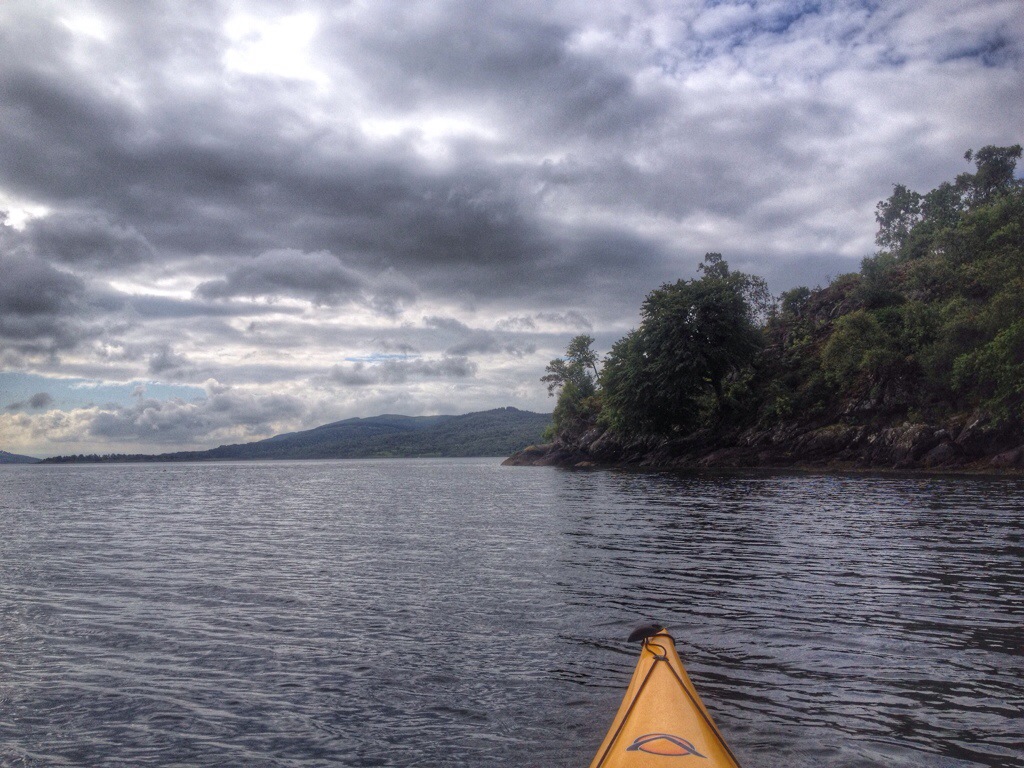
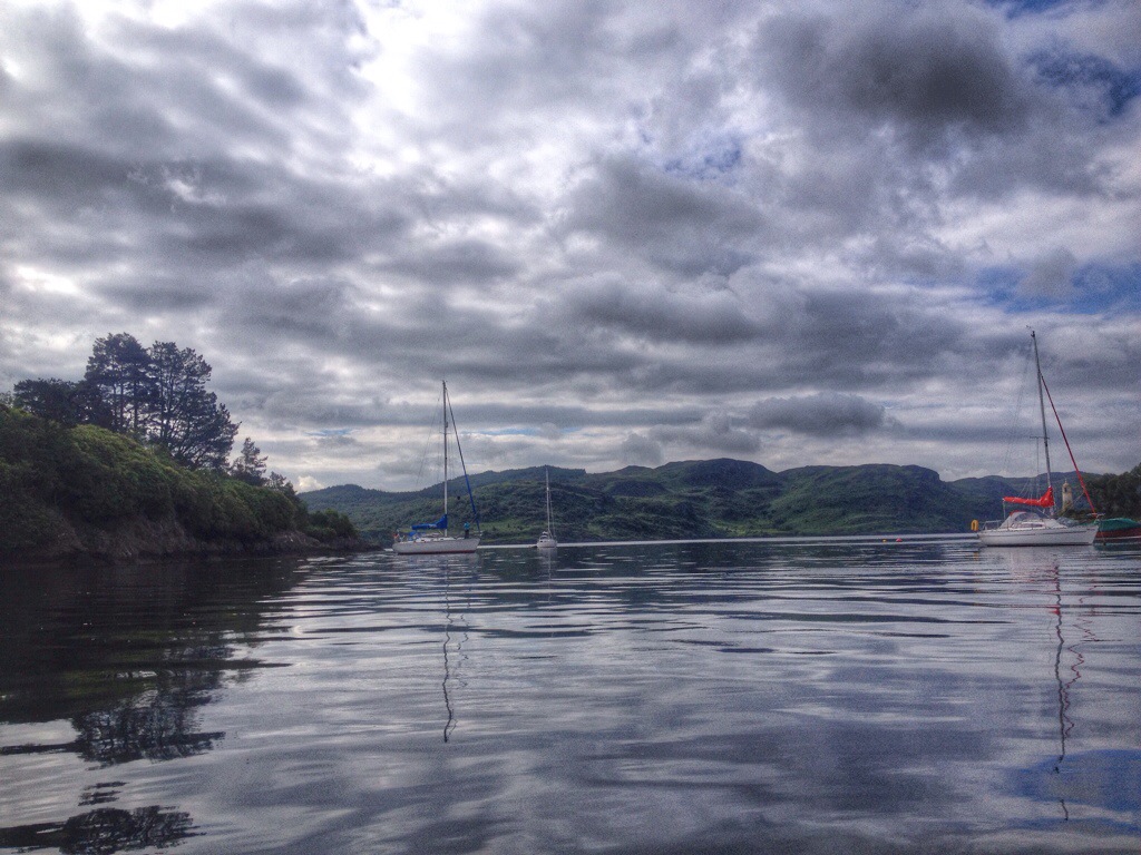
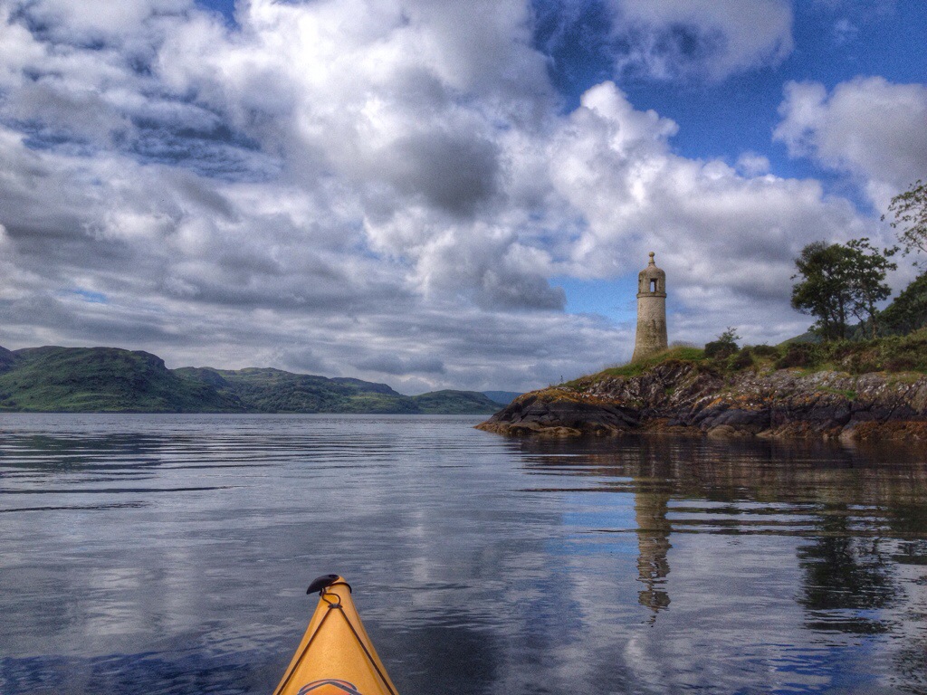
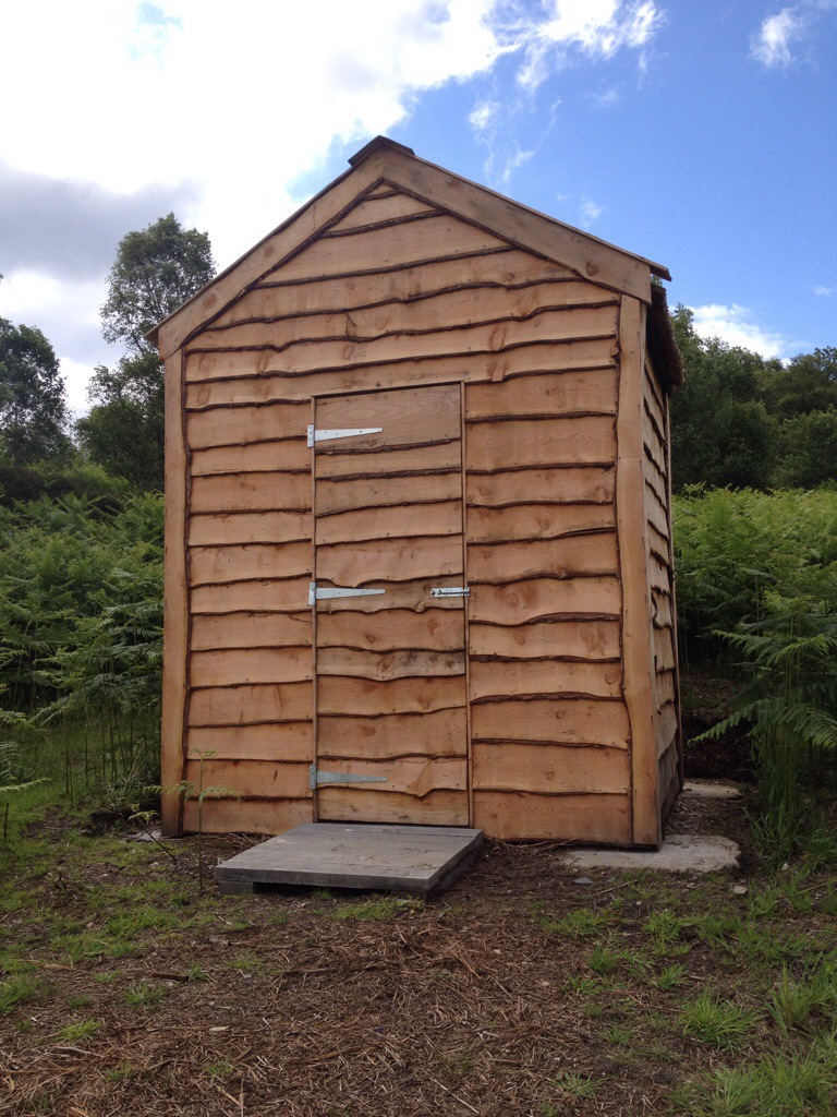
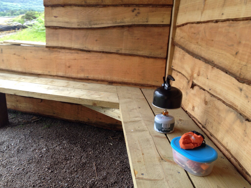
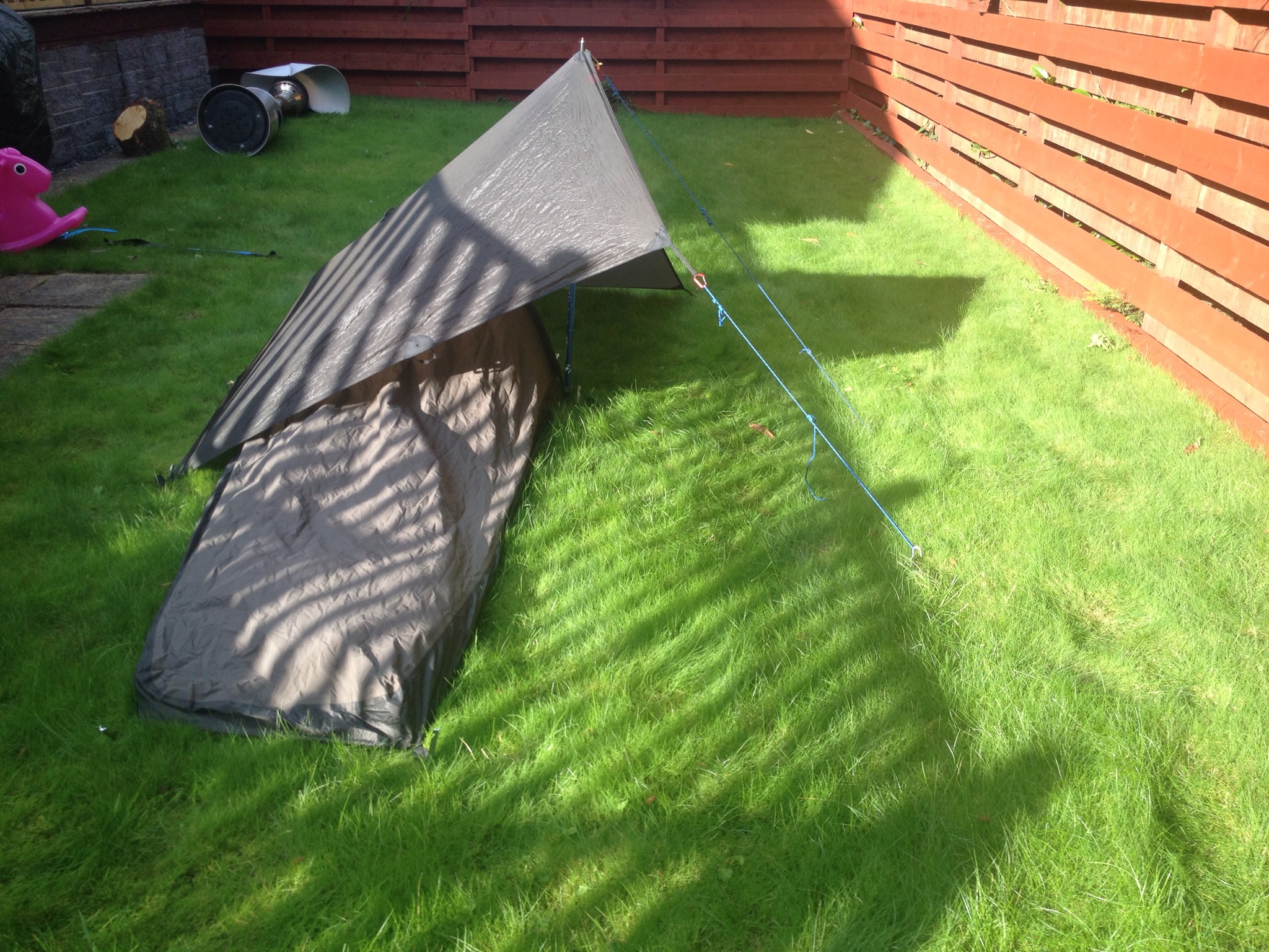
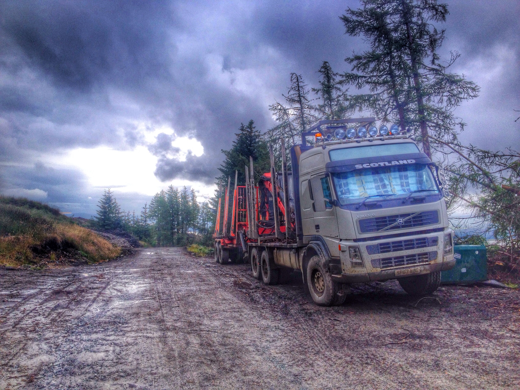
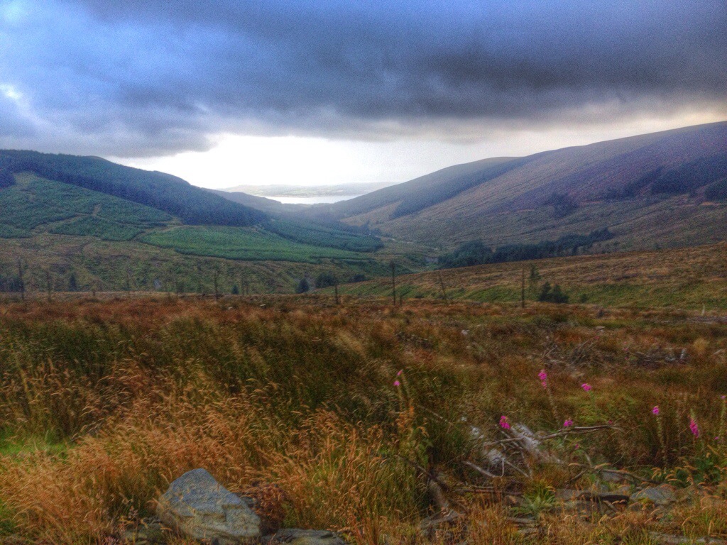
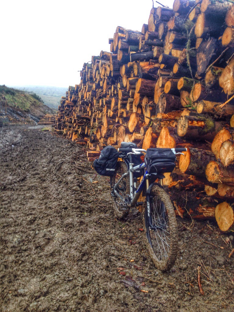
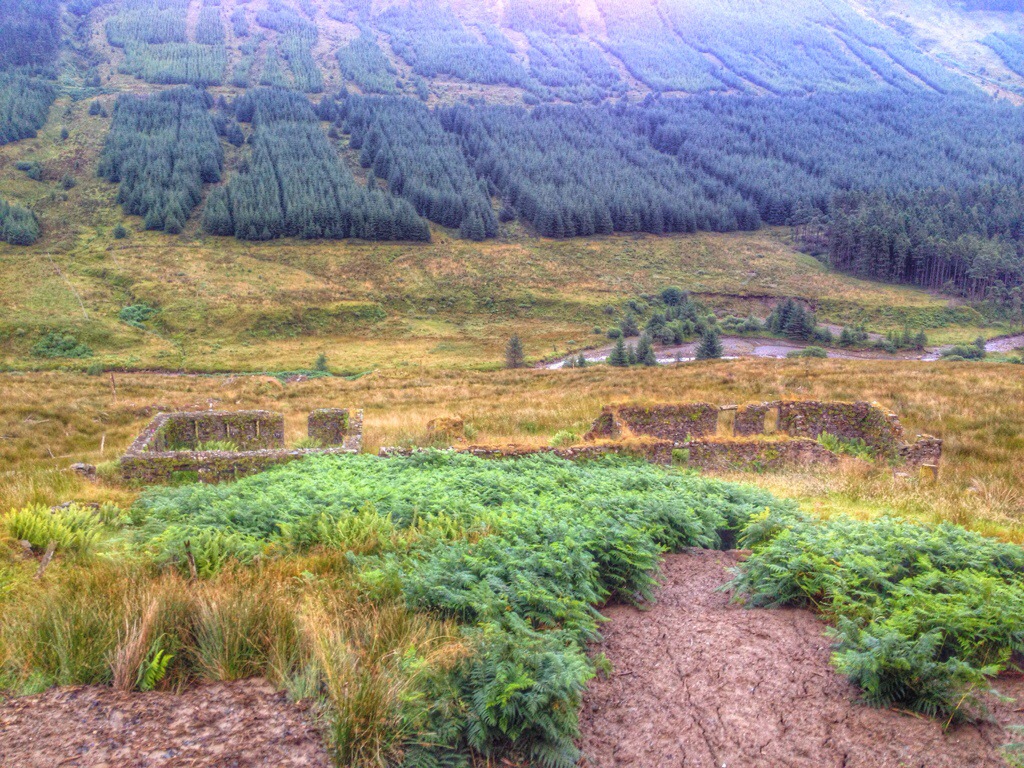
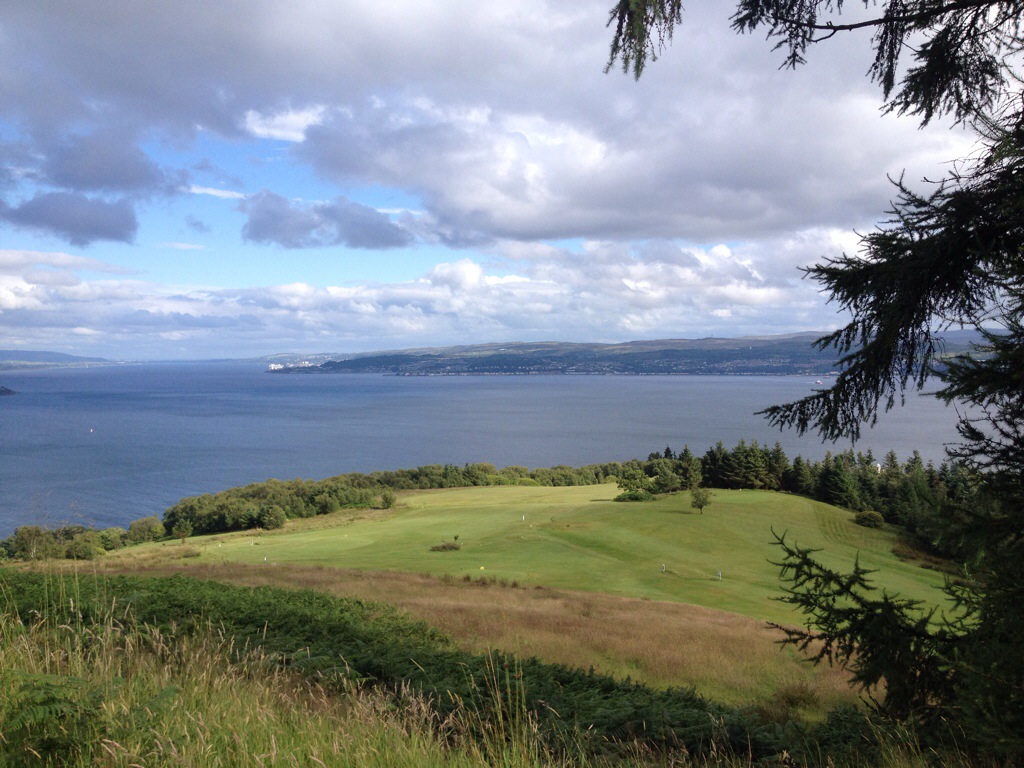
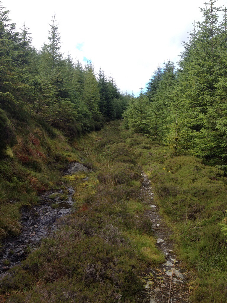
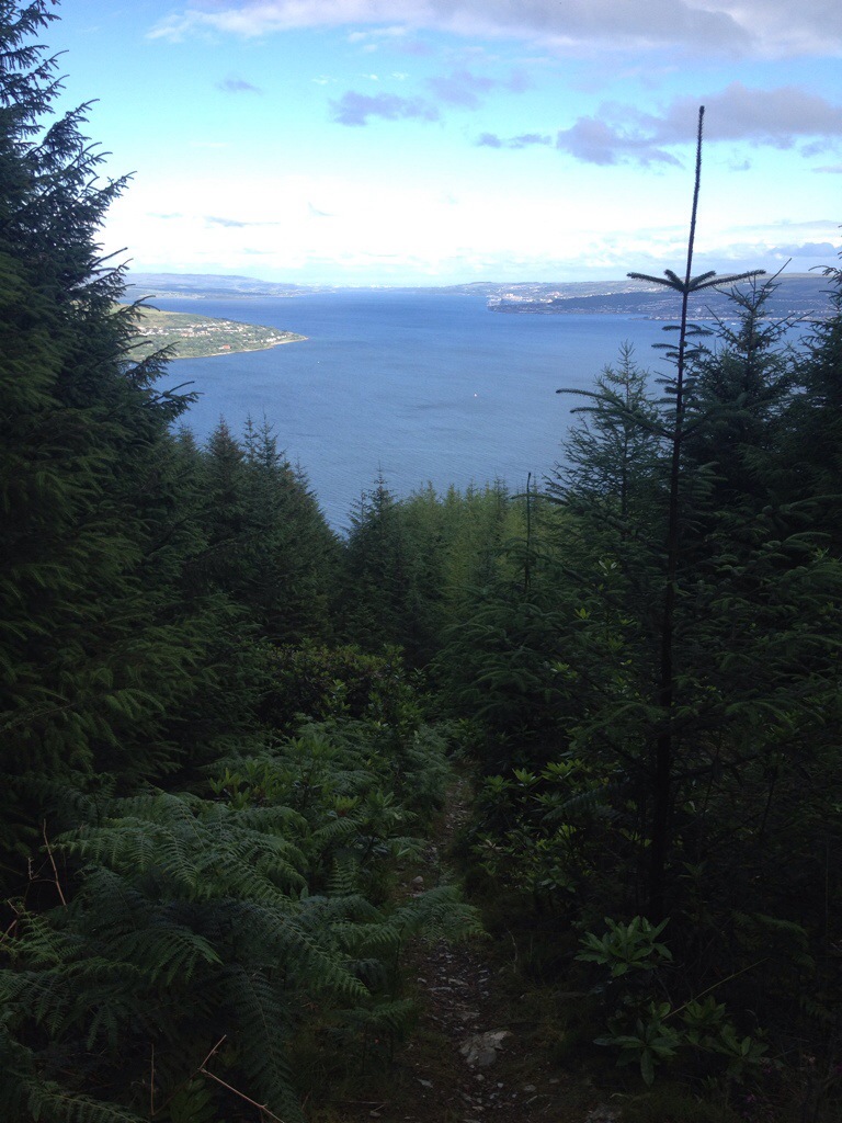
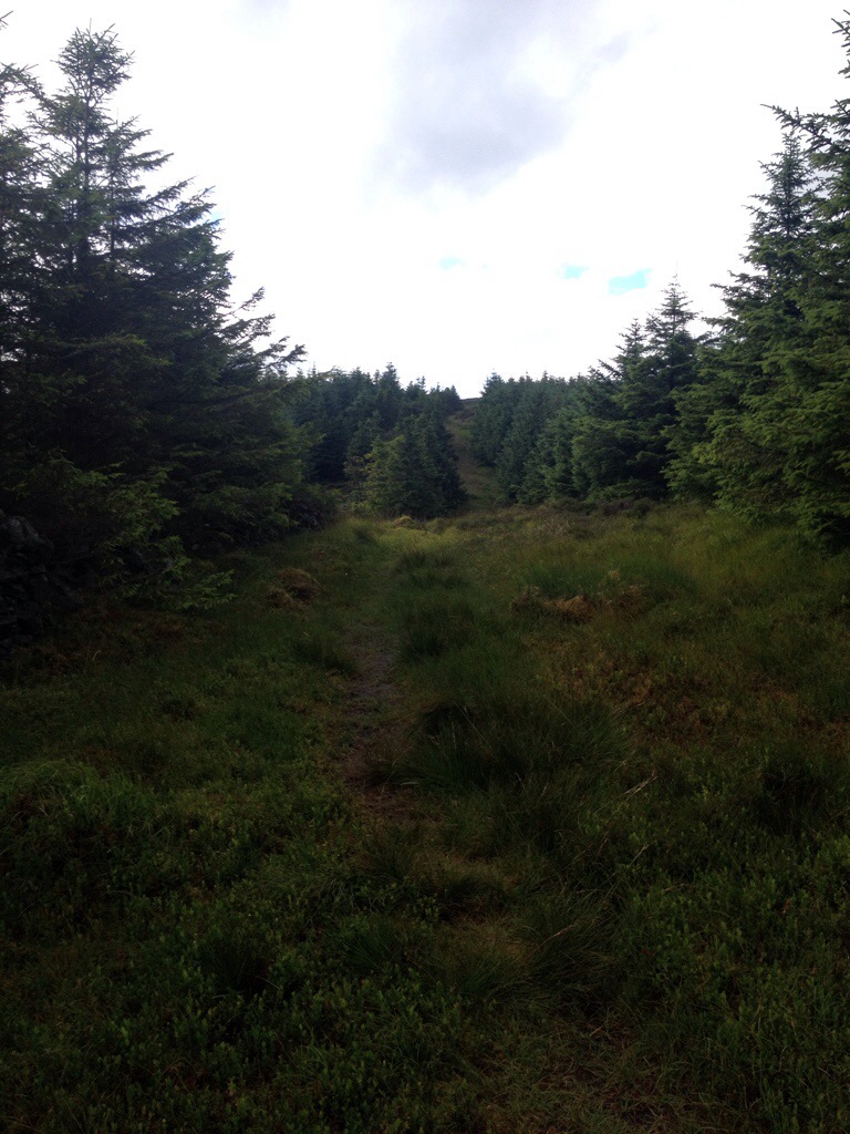
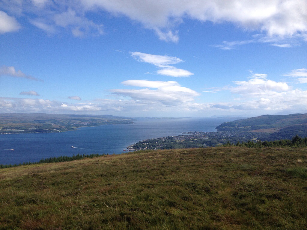
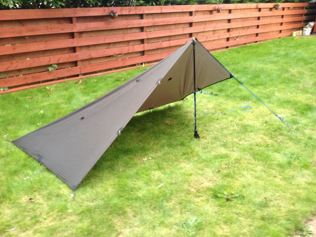
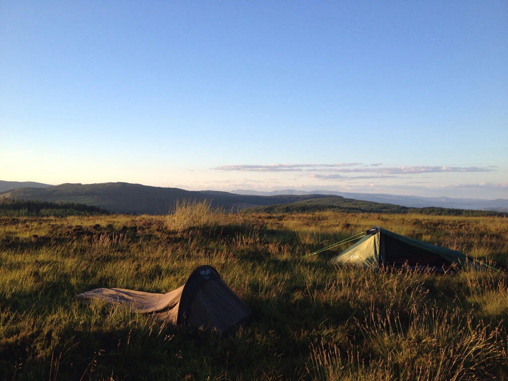
Below are a selection of pictures,they are in sequence of the walk. Please click on them for full details.

Route to forestry road
DSCF6377 (Copy)
Timber
Timber
View over dunoon
View over dunoon
Cairns at turn of for Bishops Seat
Bridge to Bishops Seat
DSCF6401 (Copy)
Views towards Loch Eck and beyond
Views to Loch Eck and beyond
DSCF6408 (Copy)
DSCF6410 (Copy)
Bishops Seat summit
Bishops Seat summit
Cruach nan Capull in distance
DSCF6415 (Copy)
Firth of Clyde
Firth of Clyde
DSCF6421 (Copy)
DSCF6424 (Copy)
The ridge of Cruach nan Capull and summit od Cruach Neuran in the distance.
DSCF6429 (Copy)
Giants Knowe looking over Glenkin.
Glemkin
Glemkin
Gully
Gully
Navigation aid
Navigation aid
The 2nd climb begins
Looking back to covered ground
DSCF6455 (Copy)
Loch Striven
Loch Striven
DSCF6460 (Copy)
The summit of Cruach nan Capull
DSCF6462 (Copy)
Final climb to Cruach nan Capull.
Steep wee climb
Steep wee climb
Cruach nan Capull Summit
Cruach nan Capull summit
Fence line to Cruach Neuran
DSCF6473 (Copy)
Mid Hill to Cruach Neuran
Steep descent from Cruch nan Capull to Mid Hill
Looking back to summitof Cruach nan Capull.
Out the passing shower for lunch.
Leading to burn you follow to Cruach Neuran
DSCF6482 (Copy)
DSCF6484 (Copy)
Following the Burn
Following the Burn
Stag hiding...not very well!
Stag hiding…not very well!
Looking back over to Cruach nan Capull
Cruach Neuran Summit
DSCF6497 (Copy)
Cruach Neuran Summit
Wrapped up after challenge.
The pool I took my ' Ice bucket challenge' in. A facebook craze where your nominated by a friend in aid of charity.
The pool I took my ‘ Ice bucket challenge’ in. A facebook craze where your nominated by a friend in aid of charity.
Loch Tarsan
Loch Tarsan
Loch Tarsan and beyond
Loch Tarsan
Loch Tarsan
Entrance to fire break
Fire break descent
Fire break descent
Avoiding wind blown trees
Forest break at Pylons
Coll Dam
Coll Dam
Altitude Chart

Altitude Chart

Just worked out that this walk is only 123mts less in ascent than doing Ben Nevis !!! Over pretty much the same distance!!

Tarp and Bivi setup.

Posted by explorecowal on August 19, 2014
Posted in: Gear, wildcamp #microadventure. Tagged: alpkit, bivi, tarp. 1 Comment

Messing about with the Bivi and Tarp, practicing different set ups. Giving enough shelter to get changed or cook in if the weather turns bad. Whilst they could be set up separately I think it’s ideal to have everything close at hand.

IMG_7121.JPG
Guy lines,Tarp,sleep mat,bivi,sleeping bag and walking poles…..home from home.

IMG_7123.JPG Bivi and sleep mat.

Set up 1
A good set up giving enough room to sit up and cook

IMG_7124.JPG

IMG_7125.JPG

IMG_7126.JPG

IMG_7130.JPG
Set up 2
Not so handy, should have pitched further back towards to foot of bivi. Just meant a longer crawl to bed.

IMG_7131.JPG

IMG_7132.JPG

IMG_7134.JPG

Set up 3
My favourite. Found by accident as I moved things about!! Sits well round the hoop of bivi with enough room to cook/get changed…..plus the doors close,ha. Doors closed,tied back or pegged out.

IMG_7135.JPG

IMG_7136.JPG

IMG_7137.JPG

IMG_7138.JPG

IMG_7141.JPG

Bishops Glen, High Loop.

Posted by explorecowal on August 7, 2014
Posted in: forestry commission, Walking. Tagged: Bishops, Cowal, glen, Kilbride. Leave a comment

Bishops Glen, High Loop
4 Miles (Approx)
Start/Finish Kilbride car park.

IMG_7024-1.PNG

A circular route on forestry roads and tracks. Includes 1 burn crossing and one stream crossing,which are easy enough if rivers not in full spate after prolonged rain.

Leaving Kilbride car park, continuing on forestry road taking the trail on the left (marked by Blue/Yellow marker posts), climb till you meet the forestry road again.

IMG_7002.JPG
The view will be opening up behind you.

From the trail turn right and follow the forestry road downhill to the S bend, you leave the road and cross the burn and join the path on the other side. The path continues till it meets another forestry road.

IMG_7001.JPG

From here turn right and follow the road as it heads towards the town, you’ll eventually come to a fork in the road. Take the road on the right as it turns back on its self heading down to the link bridge and continue on the road back to the car park.

IMG_6999.JPG

IMG_6998.JPG

A good walk without climbing too high for stunning views over Dunoon.

IMG_7025.JPG

Glen Fyne Loop (South Cowal).

Posted by explorecowal on July 31, 2014
Posted in: Biking, forestry commission, Walking. Tagged: Cowal, fyne, glen. Leave a comment

Approx 13 miles on forestry roads with a river crossing.

A great circular route, giving great views. Walk it, run it or cycle it.

20140731-194252-70972095.jpg

Starting and finishing at Kilbride car park in Dunoon,via the top road behind Kilbride hill,down Glen Fyne returning with views over the Clyde as you head from Innellan to Dunoon. Opposite to what I’ve plotted on the map, but can be done either way.

20140731-194956-71396093.jpg
Overlooking Dunoon after climb from Kilbride car park.

20140731-195108-71468429.jpg
Looking down Glen Fyne

20140731-195254-71574873.jpg

20140731-195253-71573213.jpg
The road down to the river crossing. A tad muddy due to forest operations. All good fun though.

20140731-195544-71744262.jpg

20140731-195620-71780790.jpg

20140731-195730-71850032.jpg
Looking back up the Glen to the far away plantation,where the descent started.

20140731-195930-71970458.jpg
Road conditions slightly better

20140731-200029-72029823.jpg
Ruins of Blairbuie

20140731-200145-72105715.jpg
The river crossing at the old concrete bridge and the wind blown road/track on the other side!

20140731-200433-72273147.jpg

20140731-200921-72561335.jpg
Back on the open road.

20140731-201126-72686915.jpg
Left here.

20140731-201227-72747627.jpg
Then left again.

20140731-201359-72839817.jpg

20140731-201500-72900589.jpg

The home straight,including a few bends and a wee climb at Kilbride before returning to the car park.

Also see this report for further pictures and alternative return via Innellan-Dunoon main road. Click here.

Strone Hill. 385mts

Posted by explorecowal on July 19, 2014
Posted in: forestry commission, Trig Point, Walking. Tagged: Cowal, Hill, strone, walking. 3 Comments

Strone Hill
385mts
5kms(ish). (3 miles)
1hr 30 mins

Never walked this hill before but I have seen it mentioned by one of the local walking clubs. In recent weeks they have carried out some clearing of the pathways, a job well done.

It was a spur if the moment decision to walk this hill,a combination of finishing work early and good weather meant I was heading somewhere!!!

20140719-221938-80378448.jpg

Interactive map with currently up to date pictures can be found HERE

Parking just past Graham’s Point there is a tarred road just next to the housing scheme ( can’t remember the name!!). The path to the summit starts here, starting with a narrow path which leads onto a forestry road. Once the road is reached, turn left followed by a right onto the top road. This takes you to a great view point over the golf course, just after this it’s a left turn doubling back in yourself. The road on the map is more like a path in reality but easily distinguished, especially now it’s been brasher/cut back. There are a few marker posts to help guide you through the woods.

Blairmore Golf Course and beyond.

20140719-222516-80716225.jpg

The path that leads off forestry road.

20140719-222641-80801451.jpg

20140719-222722-80842823.jpg

Always remember to look back and enjoy the views as you climb!!

20140719-222836-80916056.jpg

There’s one particular steep bit that runs parallel to an old stone wall, this allows for some photo opportunities ( get breath back).

20140719-223047-81047353.jpg

Once out the thick if the trees things begin to open up.

20140719-223240-81160112.jpg

20140719-223238-81158003.jpg

From here it’s a straightforward path to the summit, giving some spectacular views of the area. !!!!

20140719-223852-81532661.jpg

20140719-224004-81604334.jpg

20140719-224205-81725472.jpg

20140719-224445-81885822.jpg

Get knotted! Tarp.

Posted by explorecowal on July 19, 2014
Posted in: Gear, Uncategorized, wildcamp #microadventure. Tagged: 3.5, aplkit, gear, kit, tarp. Leave a comment

With my urge to try and cut down on my kit weight, in addition to my newly acquired bivi I’ve now added a tarp. A versatile and simple bit of kit that can be set up in a variety of configurations.
It’s from Alpkit and is the Rig 3.5 Solo version.

Spec as follows……
Open dimensions 2.4 m x 1.4 m
stuff sac): 270 g
Stuffed size: 8 x 10 x 14 cm
33d sil PU Cordura – Lightweight and strong
16 Re-inforced attachment points – 4 lifters, 12 edge tie downs
Stuff sack included

This brings my sleeping arrangements to 1kg or there about’s, shaving almost 1kg off my original tent weight.

Whether a shelter from wind or rain,to cook under or protect your gear from the elements the Tarp is a great addition.

20140719-090722-32842270.jpg

With the setting up of the Tarp there’s a few basic knots that are worth learning ( I had to), these make setting up, adjusting and dismantling easy.

The Prusik knot and the Bowline knot.

The Prusik allowing adjustment to line tension by sliding and the Bowline as a fixing loop.

20140719-091635-33395635.jpg

20140719-091637-33397170.jpg

A few quick examples I tried, with use of walking poles as support.

20140719-091928-33568015.jpg

20140719-091929-33569598.jpg

20140719-092020-33620974.jpg

20140719-092224-33744677.jpg

20140719-092426-33866595.jpg

That’s me all set for another wee adventure. 😃

If lightweight gear is your thing, this forum and it’s members have all the info you could ever need trek-lite.com

New stuff!

Posted by explorecowal on July 12, 2014
Posted in: Gear, Uncategorized, wildcamp #microadventure. Tagged: bivi, equipment, gear. Leave a comment

Trying to shave some weight of my camping gear….easier than shedding it off myself!!

Just bought a Rab Ridge Raider bivi coming in it at 800gms it’s a kilo lighter than my Vango Banshee tent. Not that the Banshee is a tonne weight, but if carrying over any great distance the Raider would be the choice.
The thought of a bivi that basically rests on your face put me off spending the night in one. But with the Raider and it’s support pole, this is negated and gives a less claustrophobic feel. The built in mozzy net even keeps the midgies out, which means you can still enjoy the views.

20140712-211813-76693820.jpg

20140712-211811-76691815.jpg

Was also looking for a lighter sleeping bag than the 4 season one I’ve got, so as a cheap lighter alternative I found a Snugpak Travelpak2. Weighing in at 1100gms with a comfort of 2 degrees, for £35 thats not to bad. This also has a mozzy net built in!!!!

20140712-212344-77024680.jpg

So far that’s almost 2 kilos off what I’m carrying. Plan to add a tarp for a more versatile set up,giving a changing/cooking area. Hopefully that’ll only be 500gms at most.

Buachailean overnighter. 5-9 #microadventure

Posted by explorecowal on July 12, 2014
Posted in: forestry commission, Walking, wildcamp #microadventure. Leave a comment

With the arrival of some new gear,the opportunity to test it out was chosen to be Wednesday night.

A return to Buachailean had been planned for a night walk,but a nights camping was a better idea!
18:00 hrs. After work we headed down to Toward,parking at the forestry’s Ardyne car park. We were soon on route to the summit (346 mts).
19:30 hrs. Once on the summit the weather allowed us outstanding views over Bute to Arran as we set up camp.Once camp was established it was time for a well earned ‘refreshment’as we watched the Bute ferry shuttle back and forth and the sun setting to the West.
Dinner was in the form of spicy rice and chicken,pre-packed chicken tikka and the mandatory super noodles ( midnight snack!).

01:00 hrs, it was time to retire to our new sleeping quarters. For me,my Rab Ridge Raider bivi ( now known as the crisp packet) and for Jamie to his Gelert Solo tent.

06:00 hrs, up and about. Taking time for a coffee and a few pictures before packing up and starting the walk back to the car park.

DSCF6168 (Copy)
Morning after
Morning after
Moon over Bute and Arran
Sunset to the West
Sunset to the West
DSCF6315 (Copy)
DSCF6312 (Copy)
DSCF6310 (Copy)
DSCF6294 (Copy)
DSCF6200 (Copy)
DSCF6196 (Copy)
DSCF6188 (Copy)
DSCF6182 (Copy)
DSCF6181 (Copy)
DSCF6183 (Copy)
DSCF6175 (Copy)
DSCF6174 (Copy)
DSCF6172 (Copy)
DSCF6166 (Copy)

The idea of a microadventure is the brainchild of adventurer Alastair Humphreys, see his site HERE for more details. Basically leaving work,loading up,heading out for a night under the stars/clouds and returning to work the next day. Taking minimum equipment with you and returning with an experience you’ll never forget.

Loch Tarsan paddle.

Posted by explorecowal on July 1, 2014
Posted in: Paddling. Leave a comment

Loch Tarsan

Sunday morning had me returning to Loch Tarsan,situated off the B836. My first visit was on my own and only my second time in a kayak! I returned this time wanting to complete the loop and paddle all of the coast line. OK,it’s only 7kms (4.4 miles) but it’s an area I’ve never seen from the water.

As always,I’m also looking for possible camp sites and there are a few possibilities.

The Loch is used for a Hydro scheme with man made dams at either end. The water now covering an old settlement that existed in the now flooded glen. An old ruin barely stands at the North end of the Loch.

IMG_6575 (Copy)
IMG_6576 (Copy)
IMG_6577 (Copy)
IMG_6578 (Copy)
IMG_6579 (Copy)
IMG_6580 (Copy)
IMG_6581 (Copy)
IMG_6582 (Copy)
IMG_6583 (Copy)
IMG_6584 (Copy)
IMG_6585 (Copy)
IMG_6586 (Copy)
IMG_6587 (Copy)
IMG_6588 (Copy)
IMG_6589 (Copy)
IMG_6590 (Copy)
IMG_6591 (Copy)
IMG_6592 (Copy)
IMG_6593 (Copy)
IMG_6594 (Copy)
IMG_6595 (Copy)
IMG_6596 (Copy)
IMG_6597 (Copy)
IMG_6598 (Copy)
IMG_6599 (Copy)
IMG_6600 (Copy)
IMG_6601 (Copy)
IMG_6602 (Copy)
Map of route

Ormidale,the Kyles and North of Bute

Posted by explorecowal on June 23, 2014
Posted in: Paddling. Tagged: Argyll, bute, caladh, Kayak, kyles, loch, riddon, stop. Leave a comment

After the mid week trip to Loch Etive. A paddle back in Cowal was required.

Ormidale to Bute was the choice for a morning paddle.
Although parking is limited at the end of the Ormidale road there was one space left.
Setting off from Ormidale through the moored yachts, sticking to the coastline down to the shelter of Caladh.

20140623-193108-70268919.jpg

20140623-193110-70270808.jpg

20140623-193216-70336524.jpg

20140623-193214-70334546.jpg

20140623-193324-70404153.jpg

20140623-193322-70402814.jpg

20140623-193421-70461098.jpg

I spotted the Kayak stop off point on my way down. Initially I was going to paddle down towards Tighnabruaich then cross over to Bute, but in a moment of madness I set off straight for the landing spot on Bute.
A great location with shelter,place for a fire and a composting toilet. 5 star shoreside luxury !!
Stayed long enough to get a coffee on the go before returning via the same route.

20140623-194044-70844812.jpg

20140623-194046-70846532.jpg

20140623-194150-70910265.jpg

20140623-194702-71222900.jpg

20140623-194704-71224511.jpg

Map of route

20140623-195057-71457158.jpg

Posts navigation

← Older Entries
Newer Entries →
  • Recent Posts

    • YouTube
    • North West Loch Striven from B836
    • Strachur, Hill Lochs and Waterfalls. Scotways routes 97 and 98.
    • Cnocan Sgeir’e Trig point – Glendaruel
    • Cruach nan Capull Trig @565mts, St Catherine’s/Cairndow
  • Topics

    • About
    • Bikepacking
    • Biking
    • Bothy
    • Cowal High Way
    • Cowal Way
    • Cowalfest
    • Family
    • forestry commission
    • Gear
    • Heritage Paths
    • Outwith Cowal
    • Paddling
    • SIB
    • Trig Point
    • Uncategorized
    • Viewranger
    • Walking
    • wildcamp #microadventure
  • Blog Stats

    • 213,452 hits
  • Contact

    explorecowal@gmail.com
Blog at WordPress.com.
Explore Cowal
Blog at WordPress.com.
  • Subscribe Subscribed
    • Explore Cowal
    • Join 53 other subscribers
    • Already have a WordPress.com account? Log in now.
    • Explore Cowal
    • Subscribe Subscribed
    • Sign up
    • Log in
    • Report this content
    • View site in Reader
    • Manage subscriptions
    • Collapse this bar
 

Loading Comments...