Strone Hill
385mts
5kms(ish). (3 miles)
1hr 30 mins
Never walked this hill before but I have seen it mentioned by one of the local walking clubs. In recent weeks they have carried out some clearing of the pathways, a job well done.
It was a spur if the moment decision to walk this hill,a combination of finishing work early and good weather meant I was heading somewhere!!!
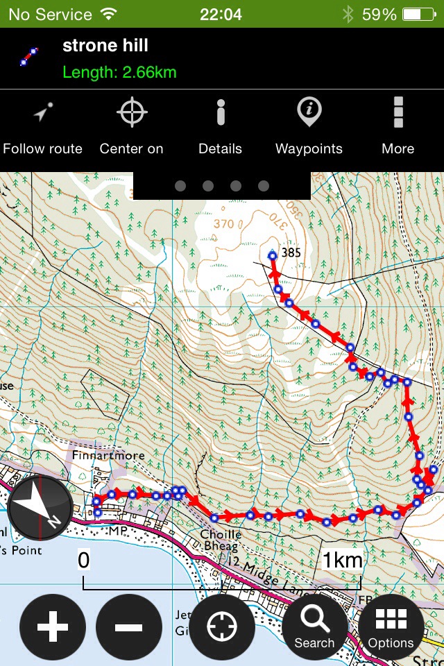
Interactive map with currently up to date pictures can be found HERE
Parking just past Graham’s Point there is a tarred road just next to the housing scheme ( can’t remember the name!!). The path to the summit starts here, starting with a narrow path which leads onto a forestry road. Once the road is reached, turn left followed by a right onto the top road. This takes you to a great view point over the golf course, just after this it’s a left turn doubling back in yourself. The road on the map is more like a path in reality but easily distinguished, especially now it’s been brasher/cut back. There are a few marker posts to help guide you through the woods.
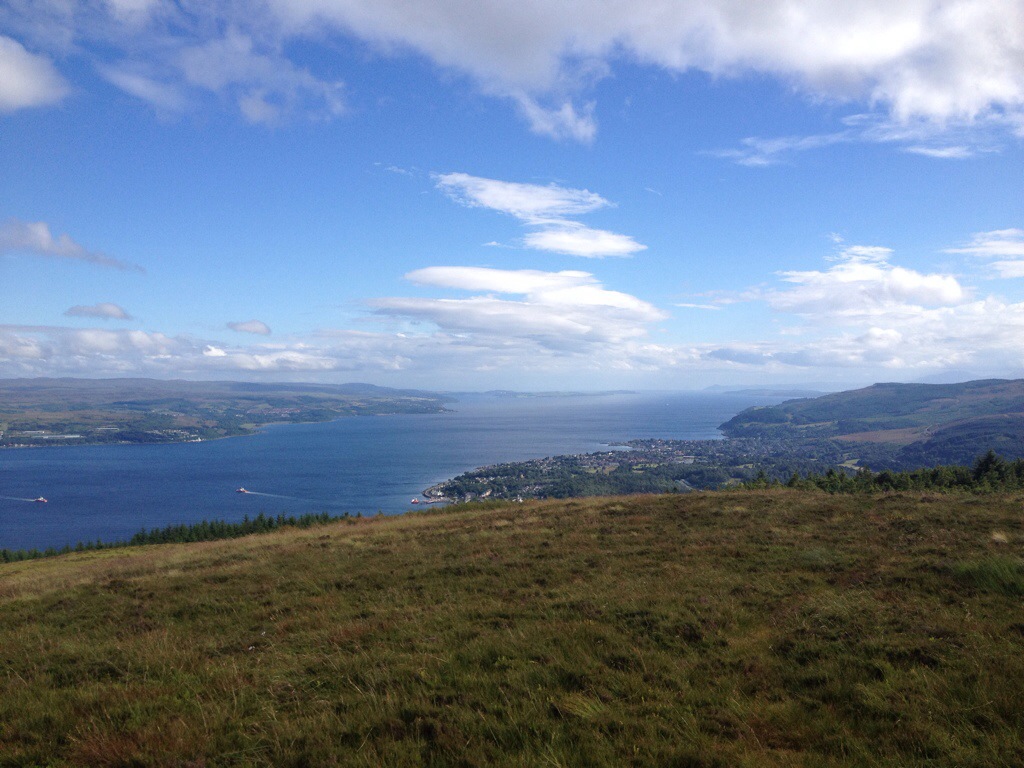
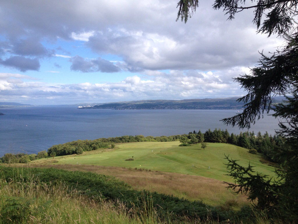
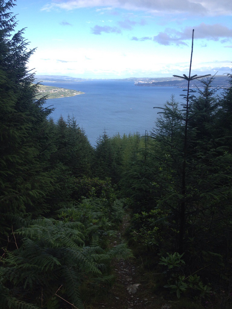
Blairmore Golf Course and beyond.
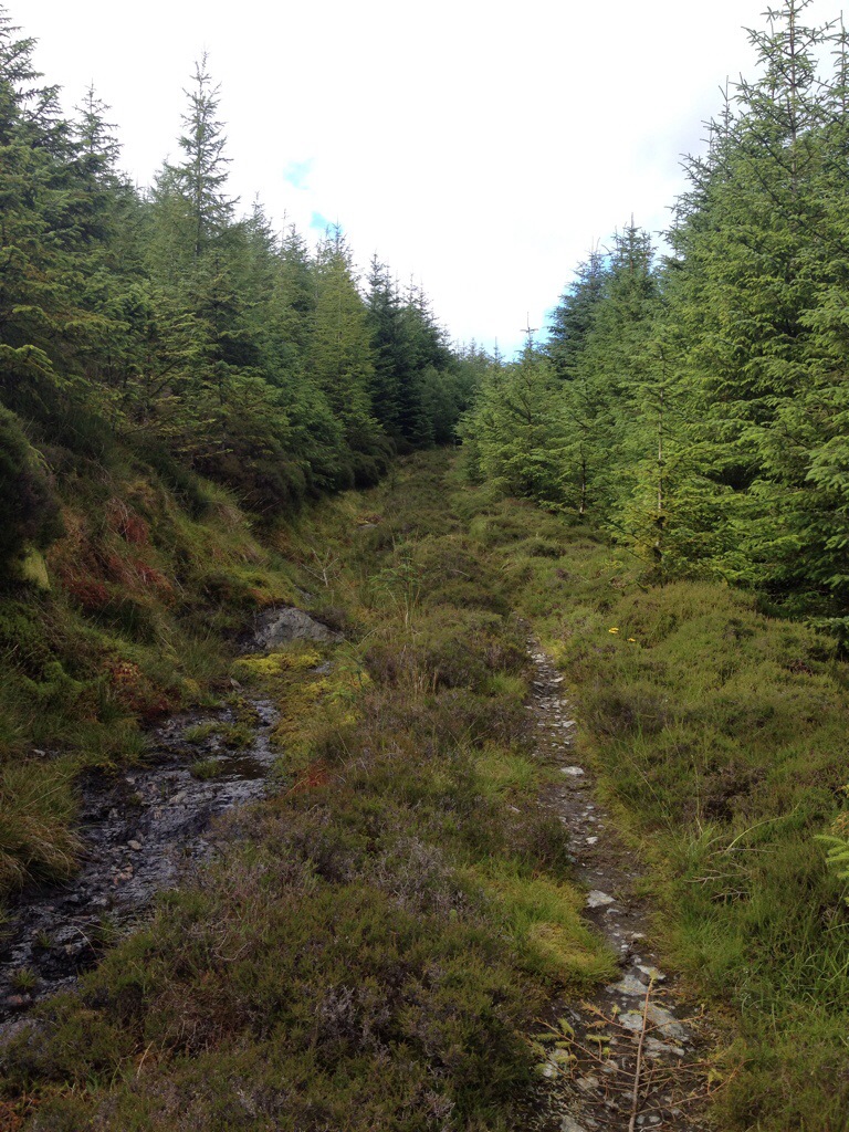
The path that leads off forestry road.

Always remember to look back and enjoy the views as you climb!!

There’s one particular steep bit that runs parallel to an old stone wall, this allows for some photo opportunities ( get breath back).
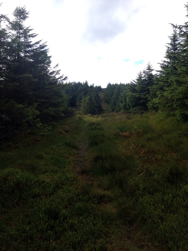
Once out the thick if the trees things begin to open up.

From here it’s a straightforward path to the summit, giving some spectacular views of the area. !!!!