
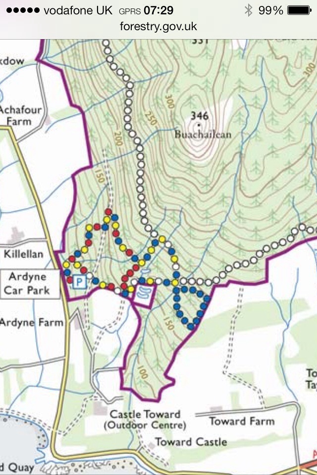
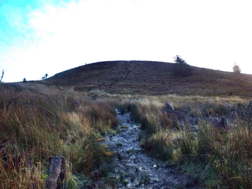
Target set for Buachailean on Sunday morning I parked at the Forestry Commission car park. Heading off at 07.20 I followed the way marked trail. Firstly the red/yellow/ blue/white markers. Then onto the red markers,before joining the blue and yellow that takes you in to the forestry road ( White markers). Now from here I headed straight across the road heading on what I thought was a trail marked on the O/S map. However, whilst showing on the map any evidence of any path on the ground is pretty much non existent. The forest has been harvested leaving no clear route. I did however continue on over brash,stumps and heather till reaching the summit.
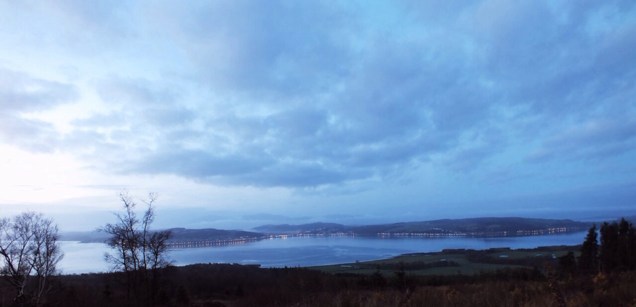
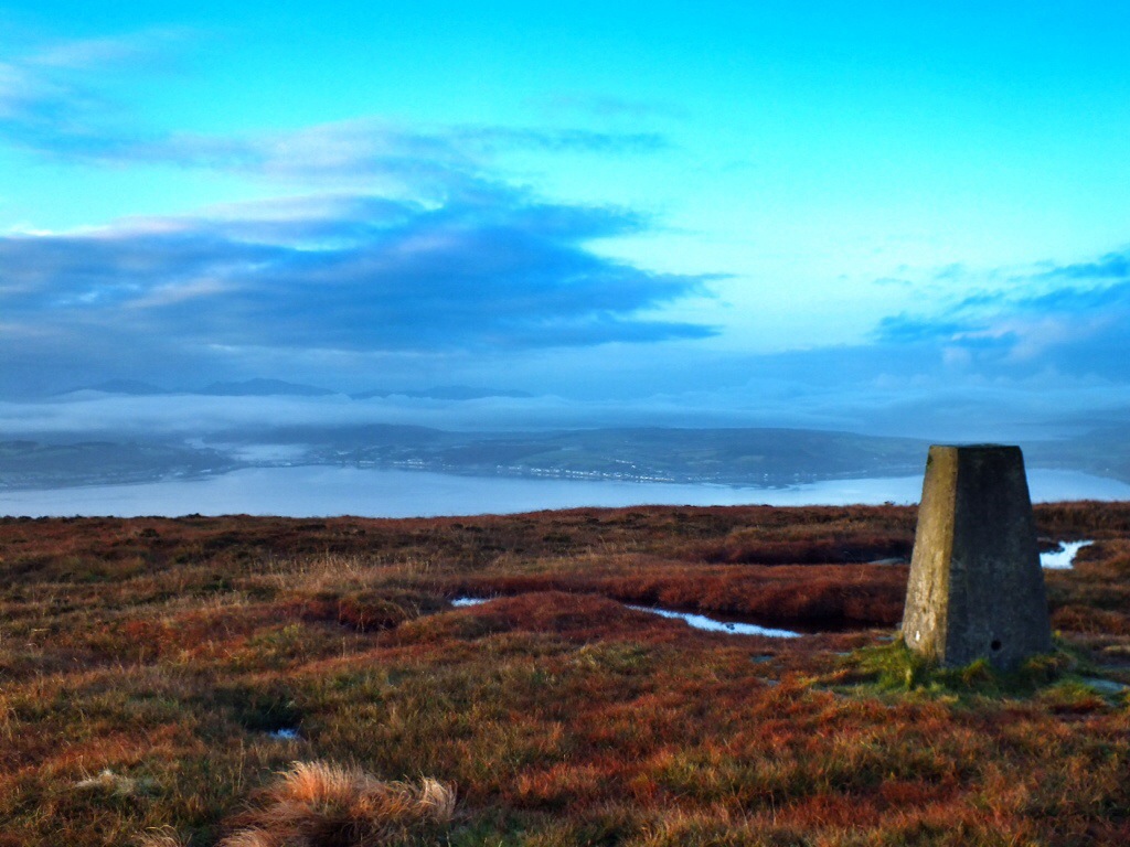
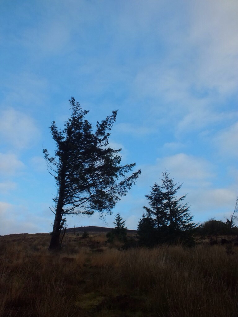
Overlooking street lit Bute en route to Summit.
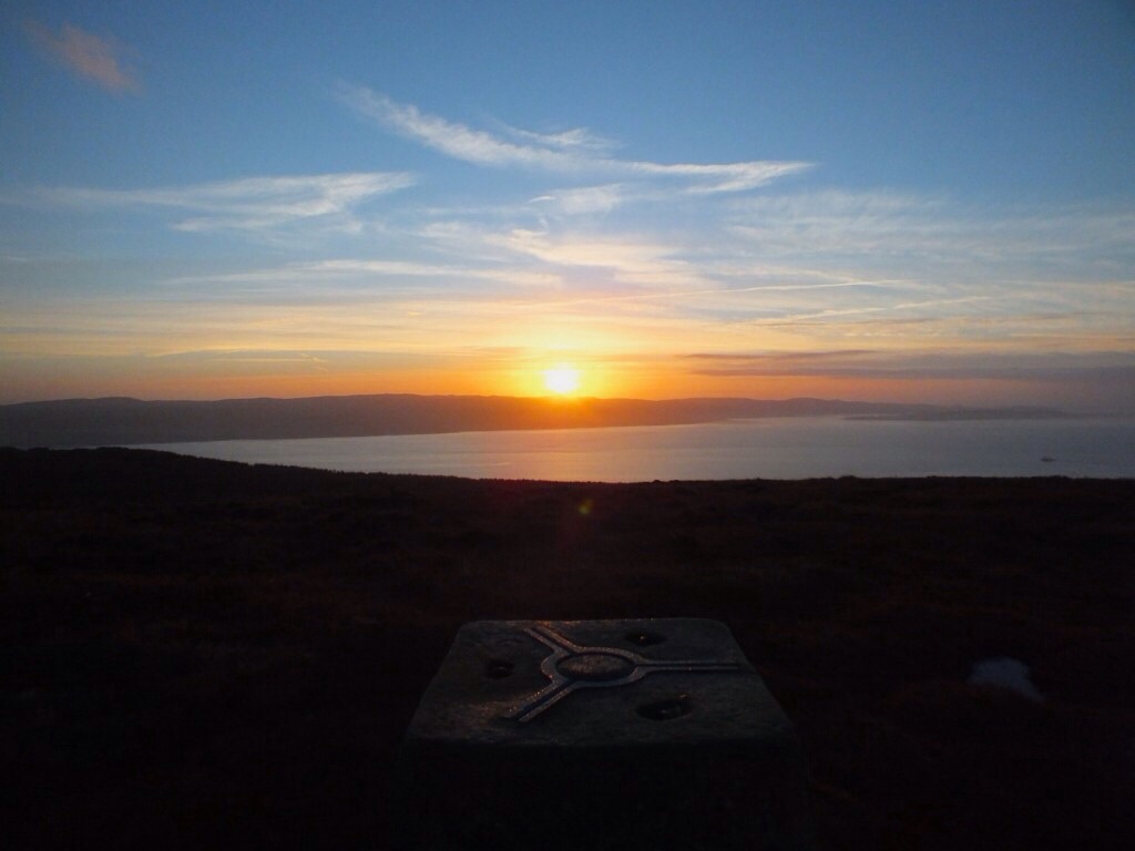
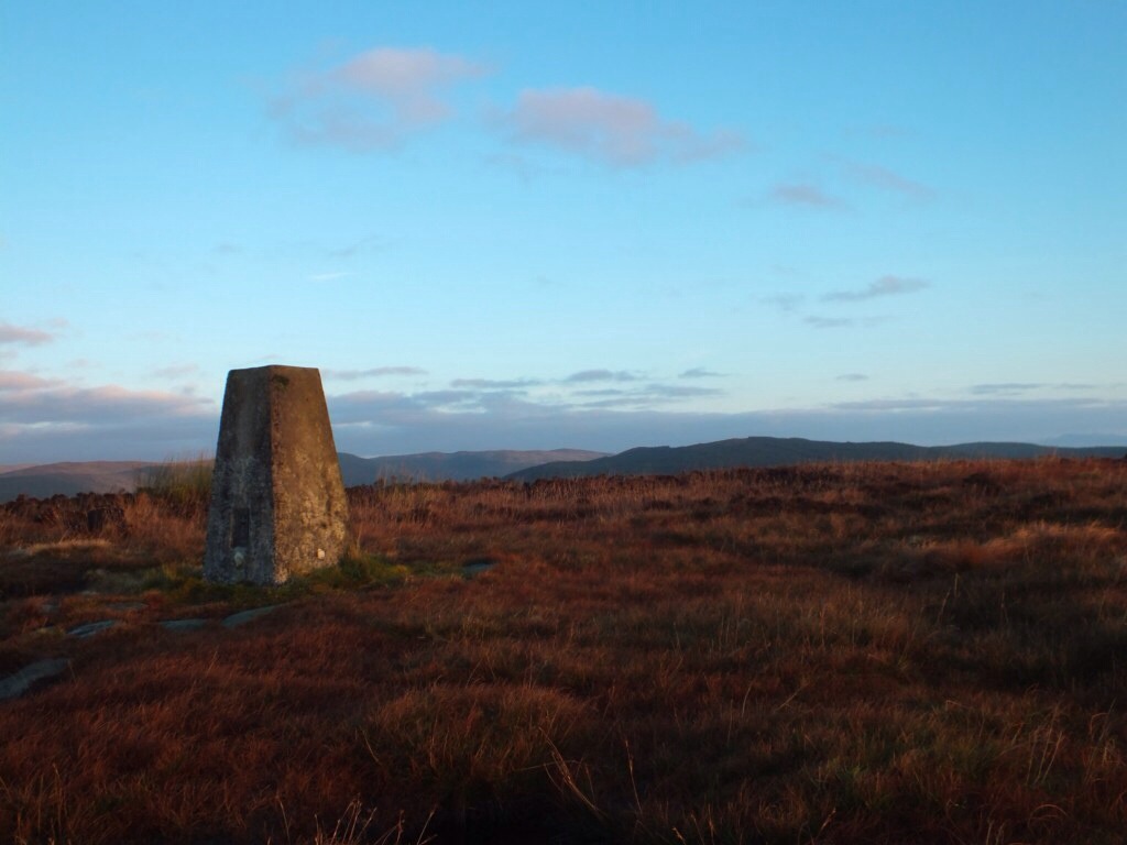
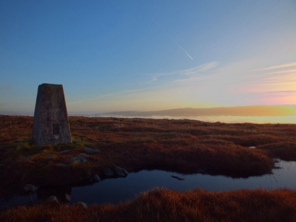
Was on the summit for 8am just in time for sun rise. Spent a wee while gettin some pics as the clouds developed along with the coastal mist.


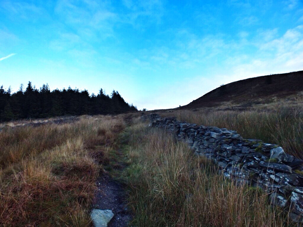
Whilst taking pictures and walking about the summit I noticed a well defined path on the west side of hill. It lead down the a wall which ran downhill towards the forestry road………the route I should have taken instead of old non existent path!!
From the wall looking back up to the summit.
I returned back to forestry road following the wall all the way. Taking pics looking back as this should have been the approach route.

Someone has even made this hand navigation aid,Ha.
Once back on the forestry road I continued down to the Chinese Ponds.
Right turn here.
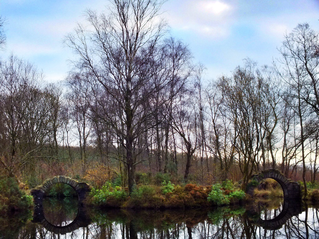
The ornamental bridges at the Chinese ponds.
From here I joined the track for my return to the car park.
Hopefully be back on a night walk soon for views over Bute. Should be a good one…….now I know the easy route !!! 🙂
Think it’s about 4.5kms all in so a good wee walk giving great views.
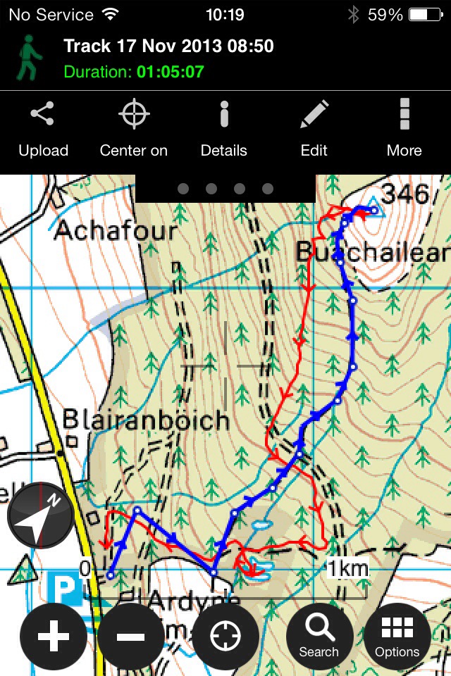
Top section once off forestry road showing Blue wrong route,Red correct route!!
