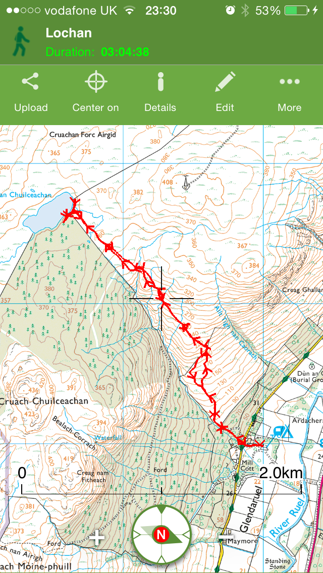
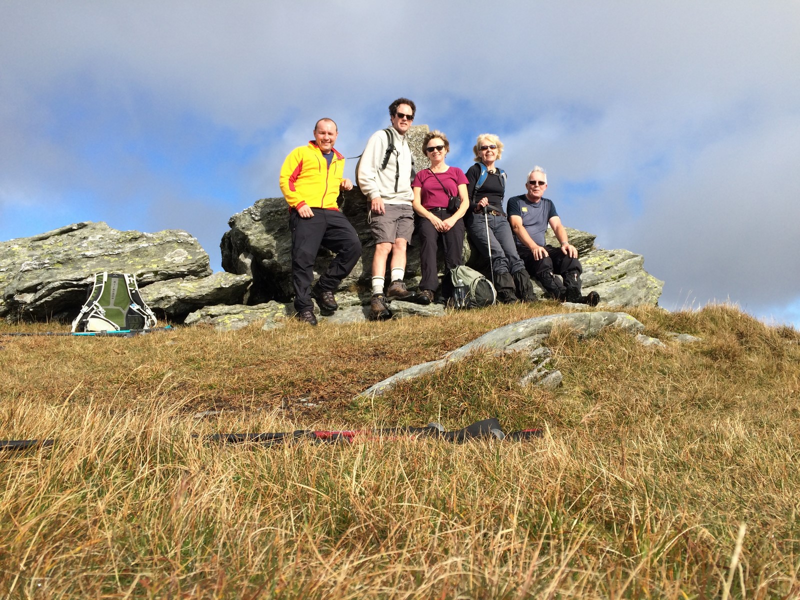
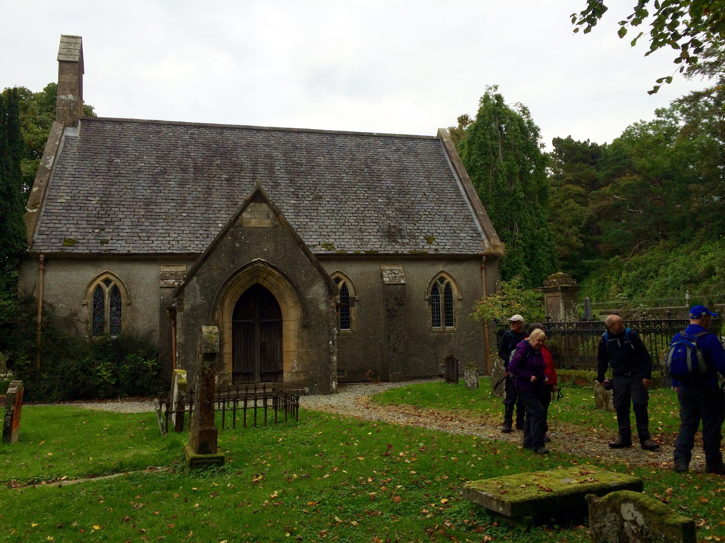
A great turn out for this walk led by Arthur French, 21 eager attendees from far and wide participated in the walk to Lochan Chuilceachan. The lochan sits roughly 360mts above sea level.
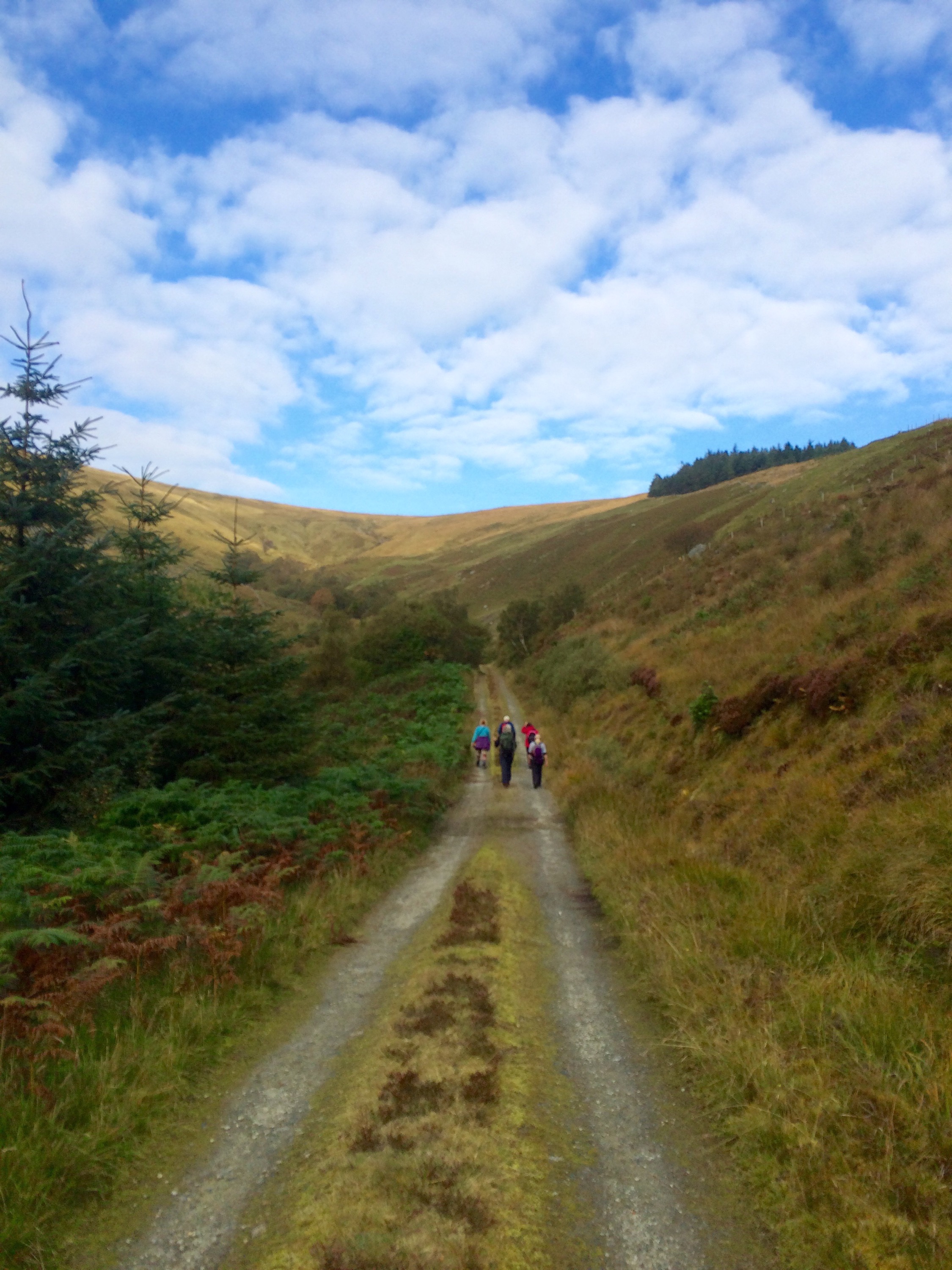
The route starts off on a forest path through natural woodland, following the cascading burn.
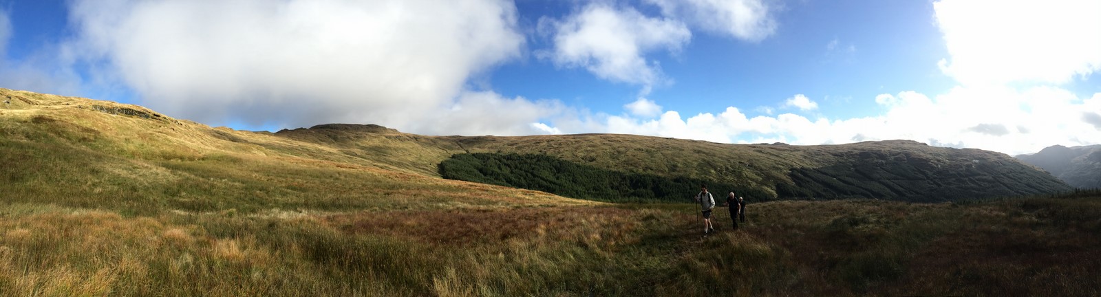
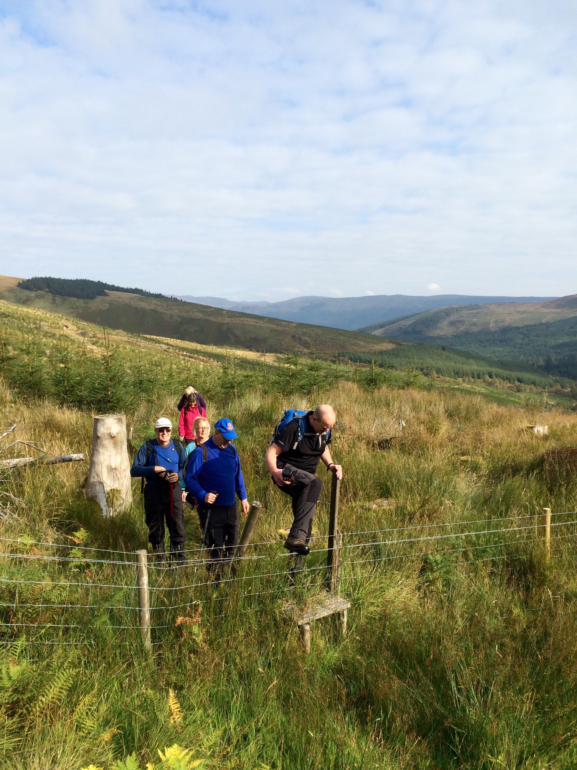
Without the shelter of the woodland, the open hill provided exposure to the freshening breeze. A feint track winds its way up the hill, passing through a gate and onto the moorland to the lochan.
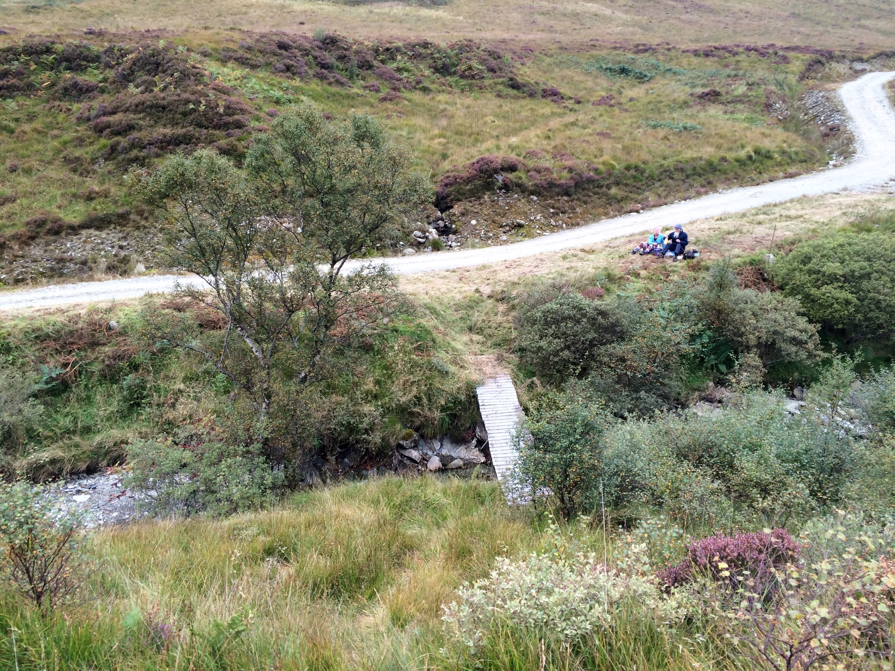
Stopping the boundary of the adjacent forest for shelter, lunch was enjoyed overlooking the windswept landscape. The abandoned rowing boat tethered to the fence providing evidence that the are (or were) fish within the body of water.
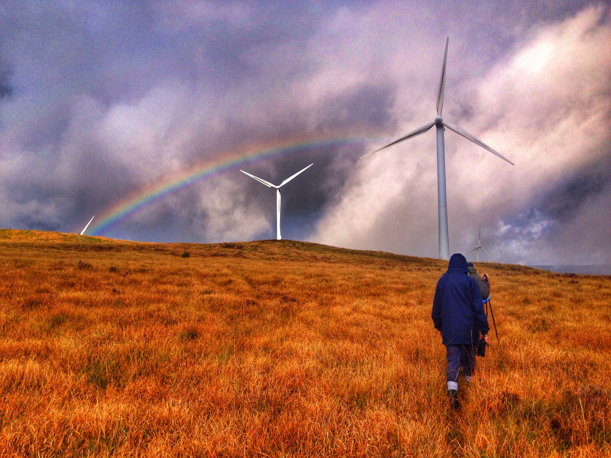
Unfortunately the weather didn’t hold for the descent, spirits were drunk and spirits were high for the return despite the driving precipitation.
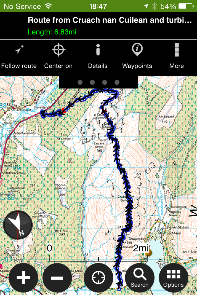
A wee photo/video montage of the day……………………………………………….
Another fantastic walk with Cowalfest, add it to your diary for next year!
Starting off from upper Glenmassan,climbing to the summit of Beinn Mhor ( 741mts) continuing to A’Chruach before a final descent to Benmore Gardens.
Four hardy souls signed up this epic 10 mile walk. Gillian, Renata,Russell and myself joined Roy our guide for the day. A special mention to Renata and Russell who were paying their first visit to Scotland from Canada and were wanting to sample some of the Scottish wilderness.
The weather forecast didn’t disappoint and provided us with a dry clear day for this high level walk.
Left to right – Beinn Mhor and the ridge.
Starting off at the end of the public road in Glenmassan, the first section on level forestry road leads to the old sheep fank where the climb starts. The road continues steadily uphill, winding it’s way through the trees. The road terminates and is replaced with an ATV track which again climbs through the trees giving access to the open hill.
Following the well defined ATV track as it turns left followed by a right onto the ridge that leads to the summit, looking back provides great views to Loch Tarsan and beyond.
Beinn Mhor summit conquered
Summit 360 degree video.
After a bite to eat it was time to set off for Benmore Gardens. Taking in Creachan Mor, Creachan Beag and A’Chruach before descending to Benmore Gardens. A fantastic section providing wonderful vistas of the surrounding area. Referring to this section as a ridge may be a bit dramatic at he plateau is quite wide. However, when walking along the edge of Coire an t-Sith to gain views of Loch Eck, there is definitely a sense of exposure. The prominent rocky formation of Clach Bheinn is never out of sight.
The gate marks the exit from the open hillside, an ATV track descends down to the forestry road above Benmore then access to the top of the Gardens. The path through the Gardens is followed back to Benmore Cafe.
An interactive map with pictures ( all 93 of them !) and statistics is available by CLICKING HERE
The Coffin Trail leads from Glenkin over to the church at Inverchaolain. Whilst the trail is non-distinguishable the rise from Glenkin over the saddle down to Inverchaolain Glen is a great walk.
Approximately 5.5 miles.
Andy Armstrong led seven of us on this great walk. Andy himself grew up in Inverchaolain so passed on his knowledge of the area prior to the commencement of the walk.
Leaving from the ‘Rumbling’ bridge, heading up the right side of the Glen to reach the sign and the open hill of the trail.
After a brief stop, the open hill awaited. A stile aids the crossing of the fence that was followed to the top of the saddle. A steep but short lived section.
With the ascent completed, a short walk over the tussocky ground provided great views down to Inverchaolain Glen.
The descent was made,again over tussocky ground to the forestry road at the foot of the Glen. Views over to Bute and Arran, though obscured by light cloud were still stunning.
A wee bite to eat and top up on fluids before the final stretch to the Church.
Progress was fast on the last few miles, arriving at the Church with time for a few photos.
Recently the Church has been put of for sale.
Another great walk organised by Cowalfest,again in great company.
For further pictures and route detail please CLICK HERE for interactive map.
This time setting off from the B836 heading to Cruach nan Cuilean and over to Cruach Mhor wind farm in Glendaruel. I’ve visited both the hill and the wind farm but never tied the two together,so today was an excellent opportunity to do so. Our guide for today was Jim Campbell from Bute,who knows the area very well.
Conditions were not ideal due to the low cloud on the hill reducing any views to zero,but it was calm and dry for the majority of the walk so I’ll settle for that. Terrain,open hillside following deer paths,sheep paths and joining anything in between.
Interactive map with stats and pictures can be found by clicking HERE You can zoom in and see what part of the route the pictures were taken.
Today was my first ever ‘Cowalfest’ walk, guided by John Ferguson.
John
A walk I’ve been wanting to do for years but never had the time or quite sure of an exact route.
Six keen walkers turned up to be guided to the crash site of the B29 Bomber. The Flying Fortress came down after clipping a nearby summit due to whats is thought to have been icing of the wings. This was back in 1949.
The walk it’s self was great…..forest roads, tracks, burn crossings, waterfalls, open hillside and that all important crash site.
Below are photos taken en route to the crash site,the site it’s self and a few returning via the same route.
John
A big thanks to John and Robert for their guidance on the walk and the organisers of Cowalfest.
Fully interactive map of route along with stats and locations of where pictures were taken. Click HERE
“Cowalfest offers a 10 day festival during October. This annual Walking and Outdoors Festival is one of the largest and most varied walking festivals in Scotland, with more than 80 walks led by expert and knowledgeable walk leaders.”
Cowalfest started today and tomorrow I’m taking part and joining a walk to Succothmore……….
“This walks starts with a short forestry section then opens out onto farmland, followed by a lovely glen walk. A hidden waterfall is passed before the ascent on a rough track beside another waterfall, which leads to higher ground with extensive views of Strachur and Loch Goil and visit the site where an American airplane crashed in 1949.”
Sounds like a walk with lots to see!!
Pics and wee report on my return.
Plenty of other walk and activities on this week, check out the website, click here for further details.