Hello, I’ve been lazy in updating this page but have been out and about. Some posts on Facebook and I’ve taken to uploading some videos on to the YouTube.
Link to channel here, I think
https://youtube.com/@cowalexplorer?si=iGmxXcc6UYbwjFs-
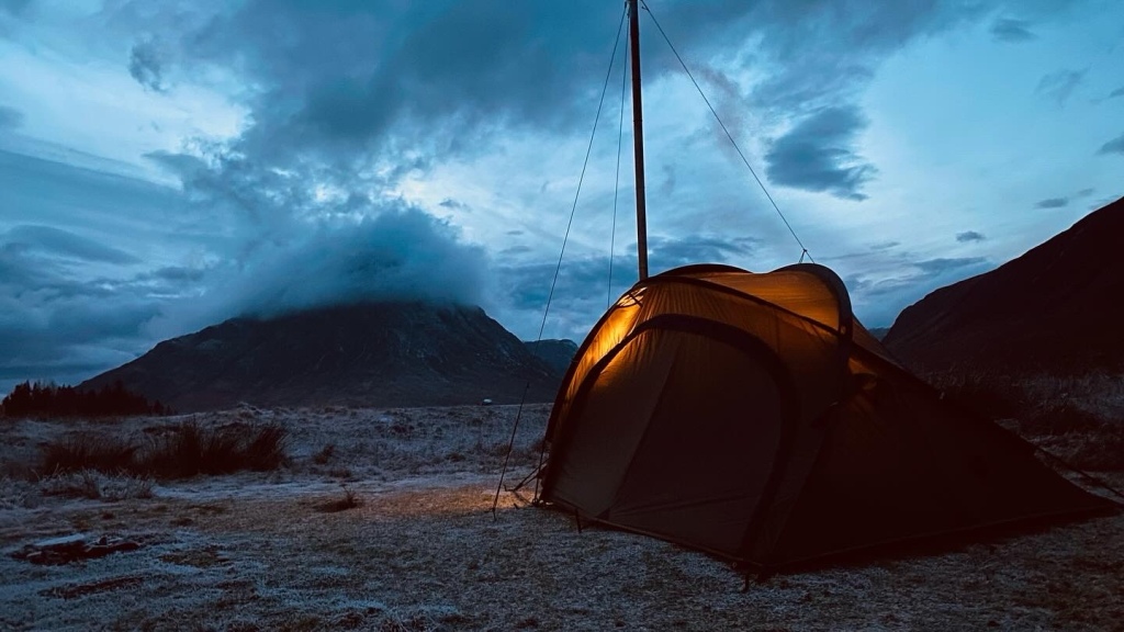
Hello, I’ve been lazy in updating this page but have been out and about. Some posts on Facebook and I’ve taken to uploading some videos on to the YouTube.
Link to channel here, I think
https://youtube.com/@cowalexplorer?si=iGmxXcc6UYbwjFs-
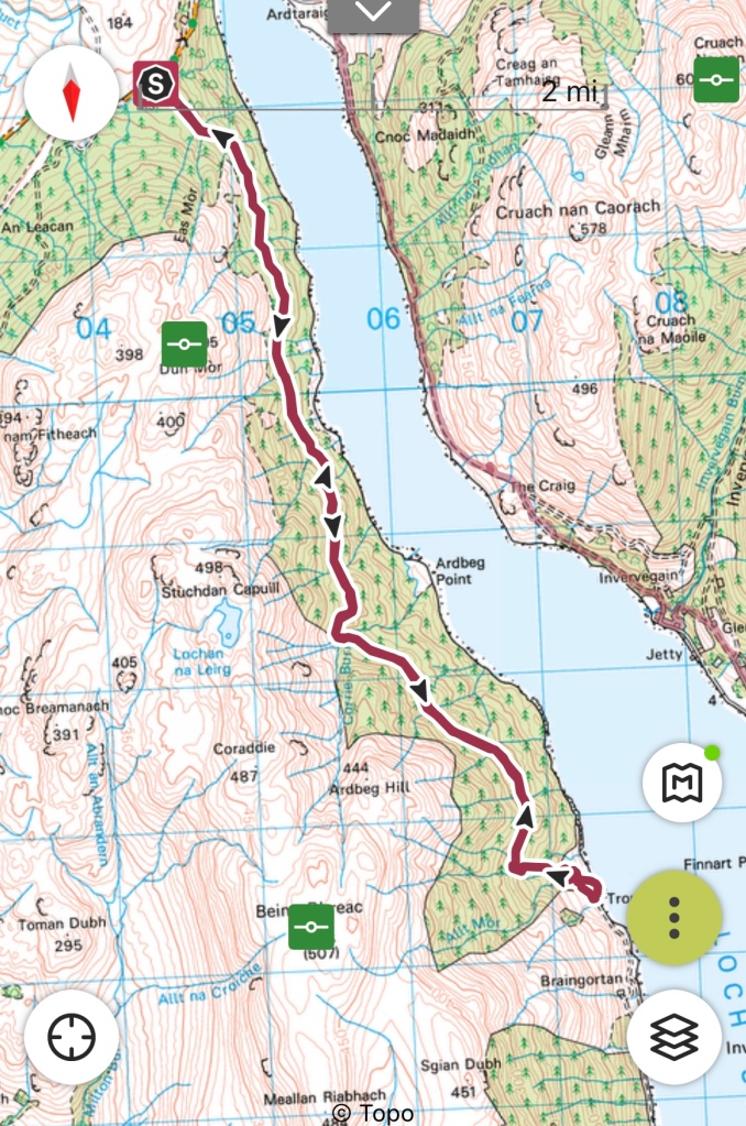
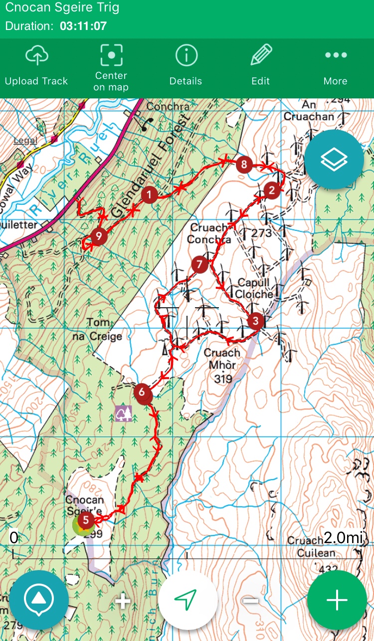
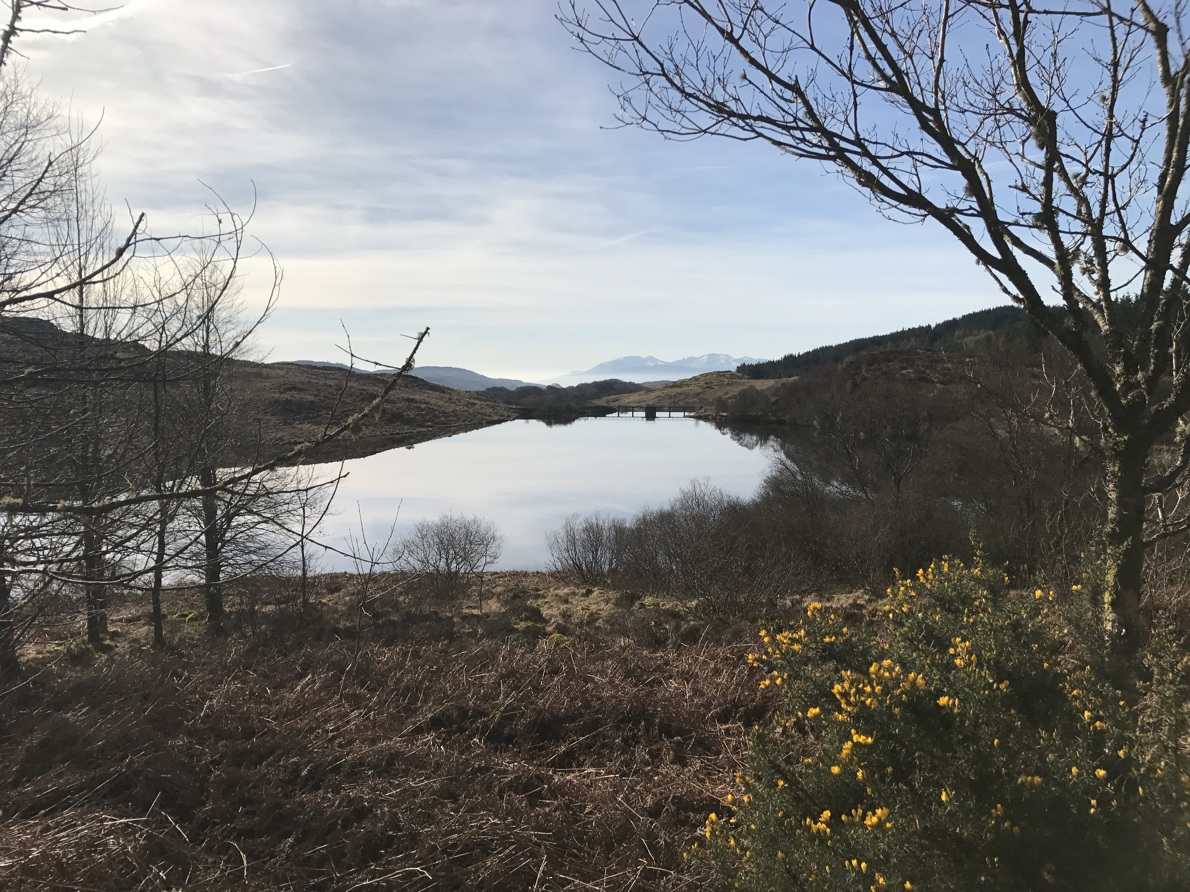
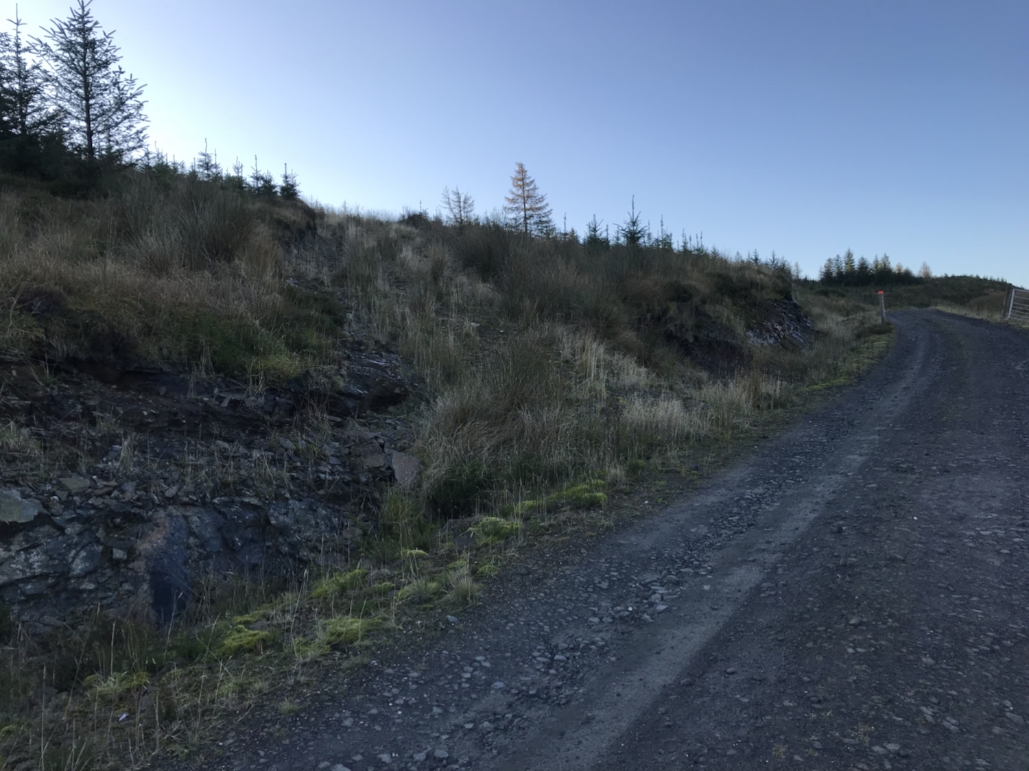
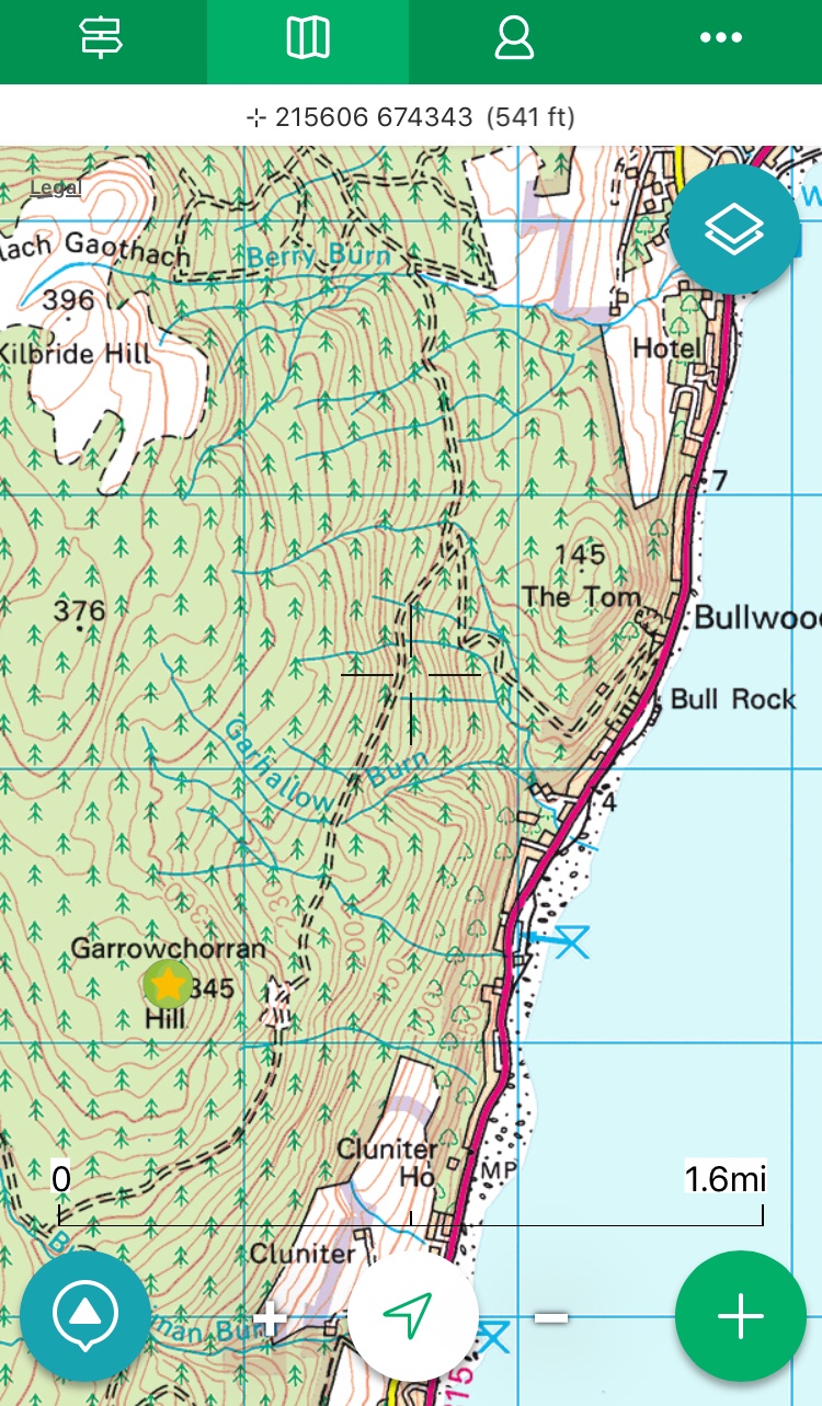
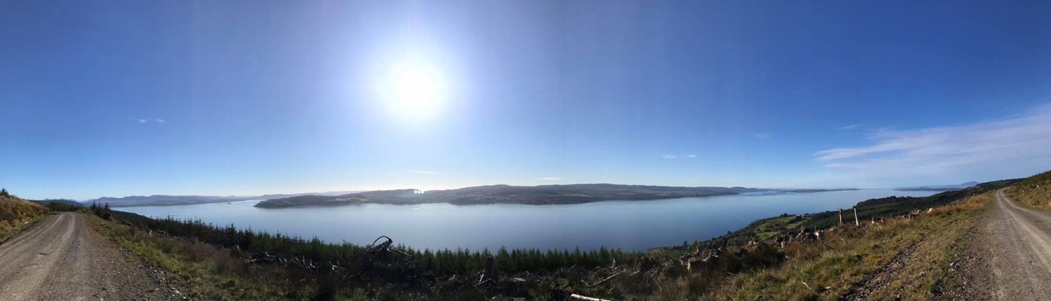
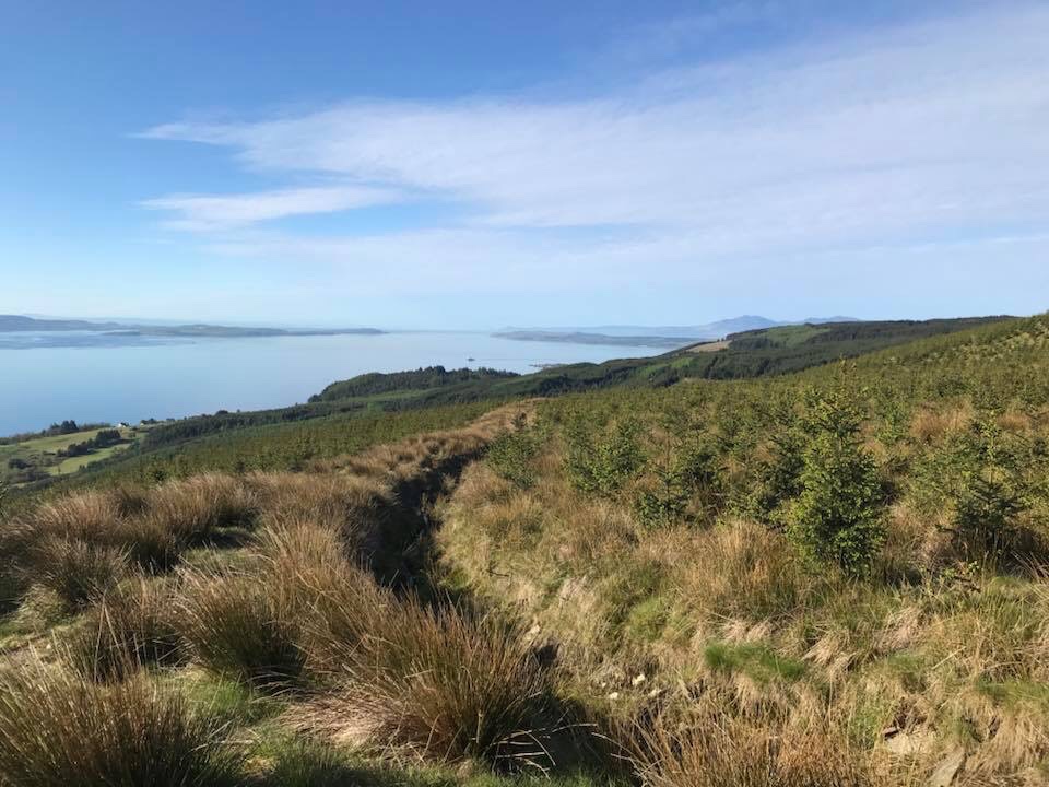
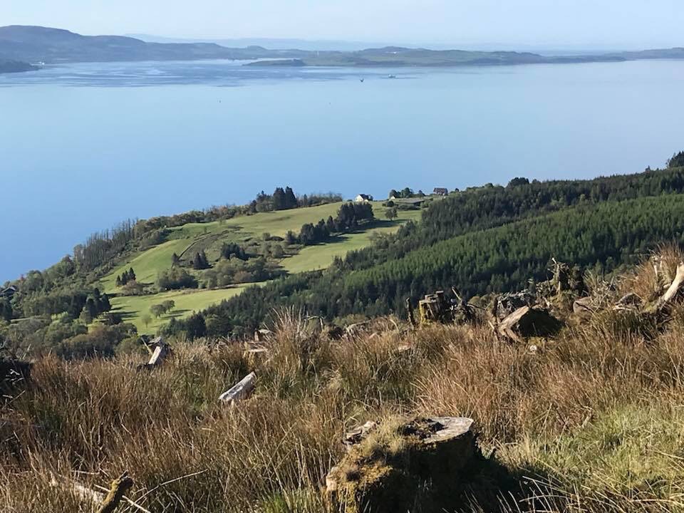
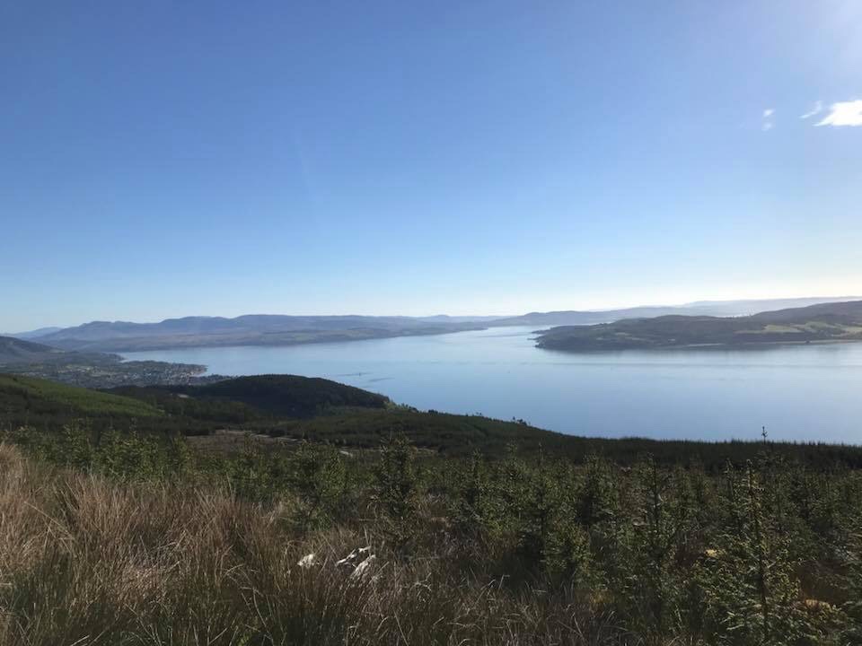
Route Name: North West Loch Striven
Terrain: Forest road and track. Also open field if heading to the shoreline.
Features: Views, Sea Loch
Distance: 9.5 miles return trip if dropping down to shore.
Time: 3-4 hours, but take longer and enjoy a rest or two and take in the views.
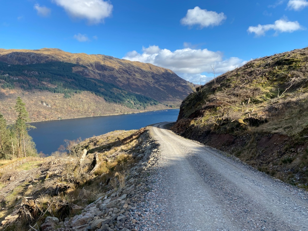
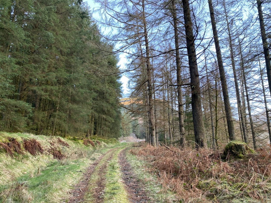
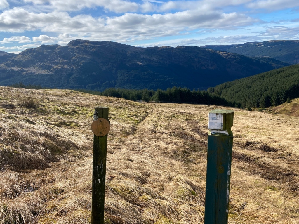
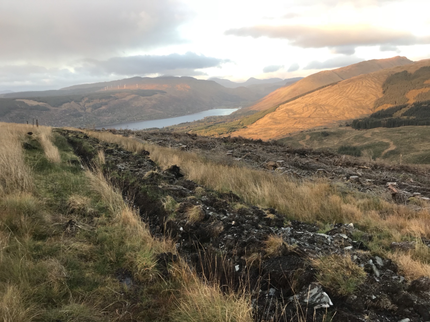
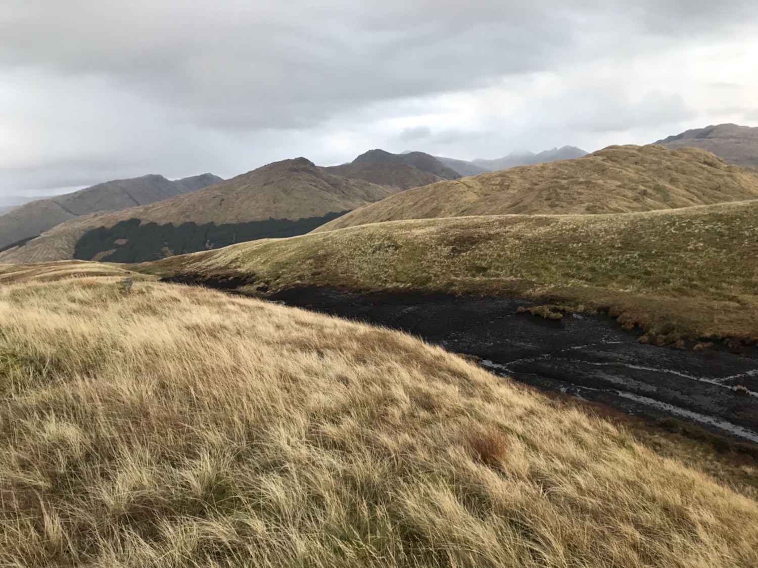
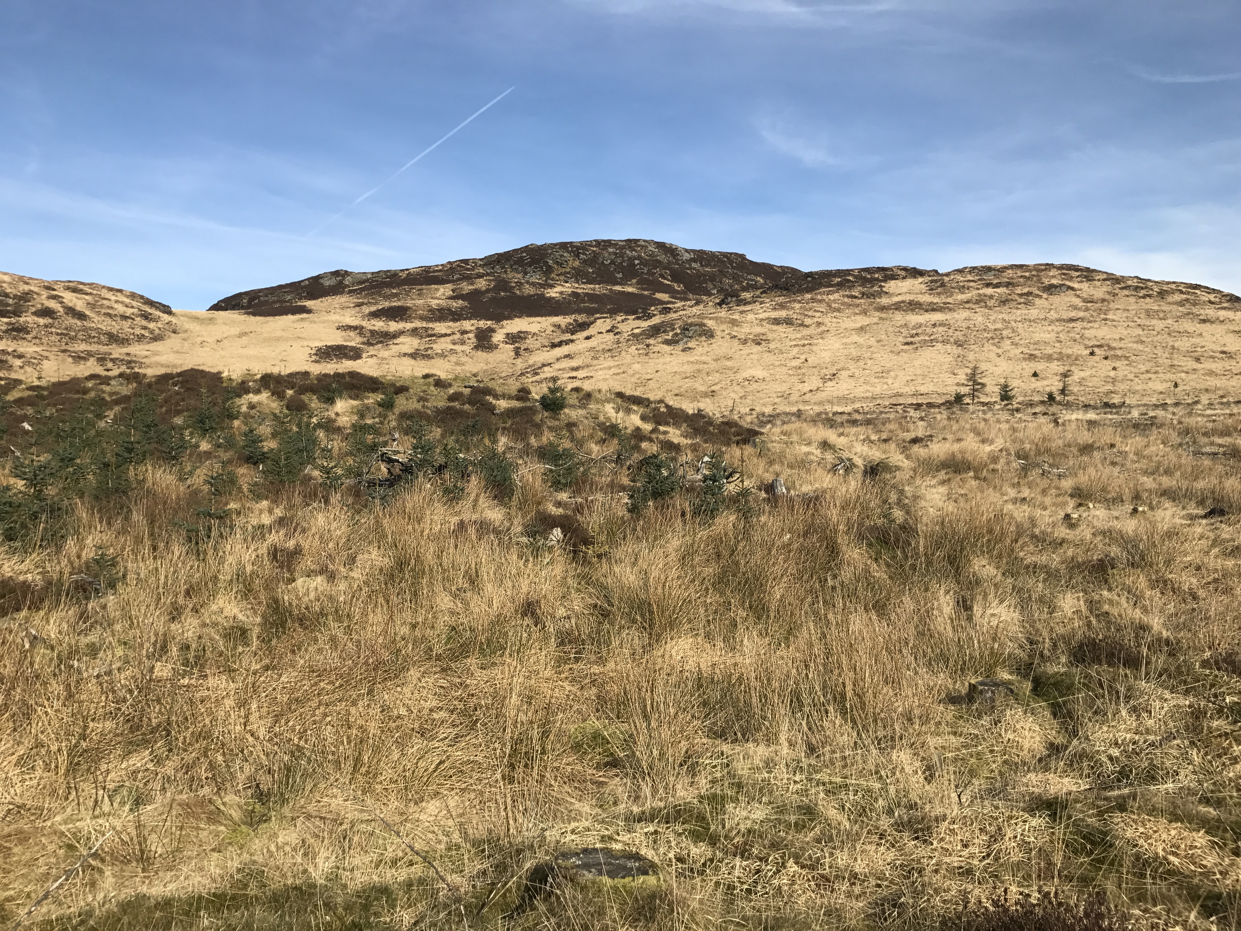
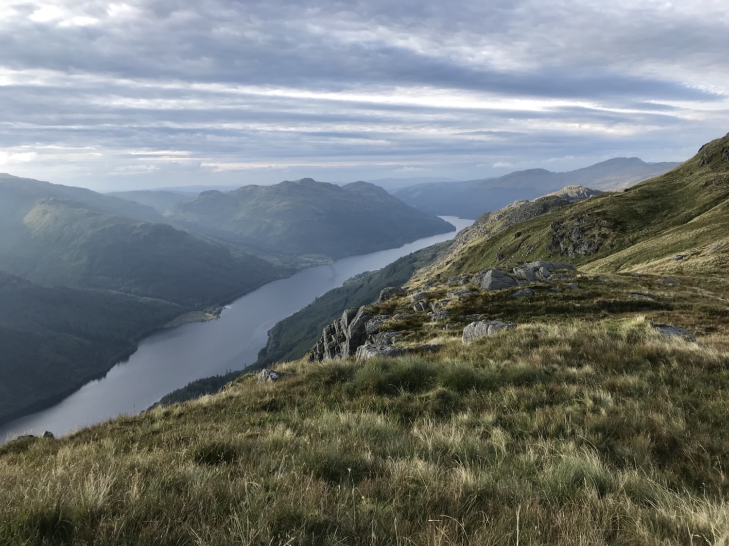
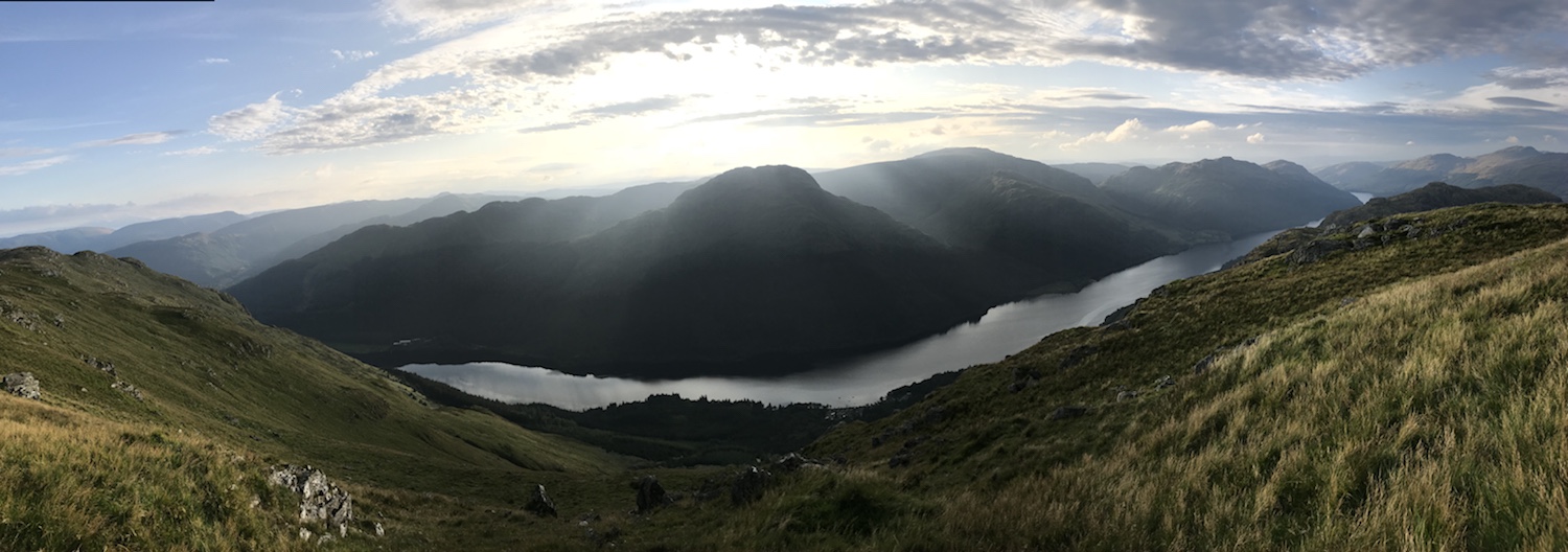
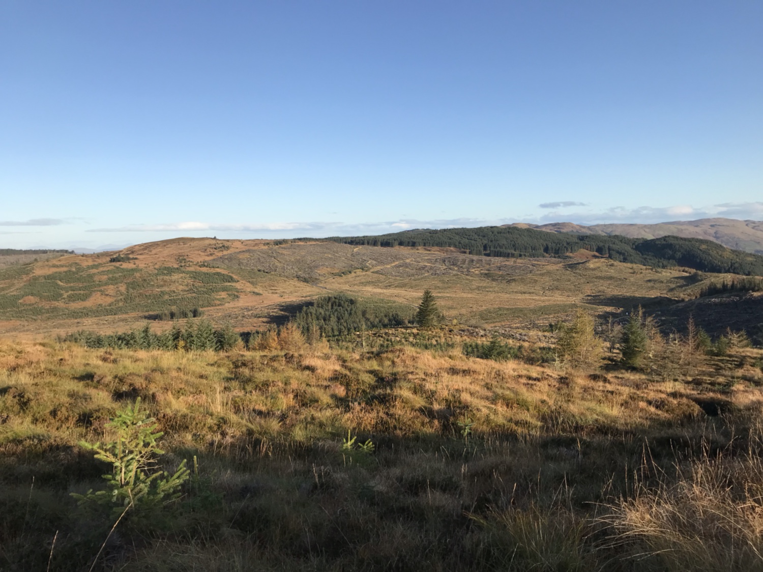
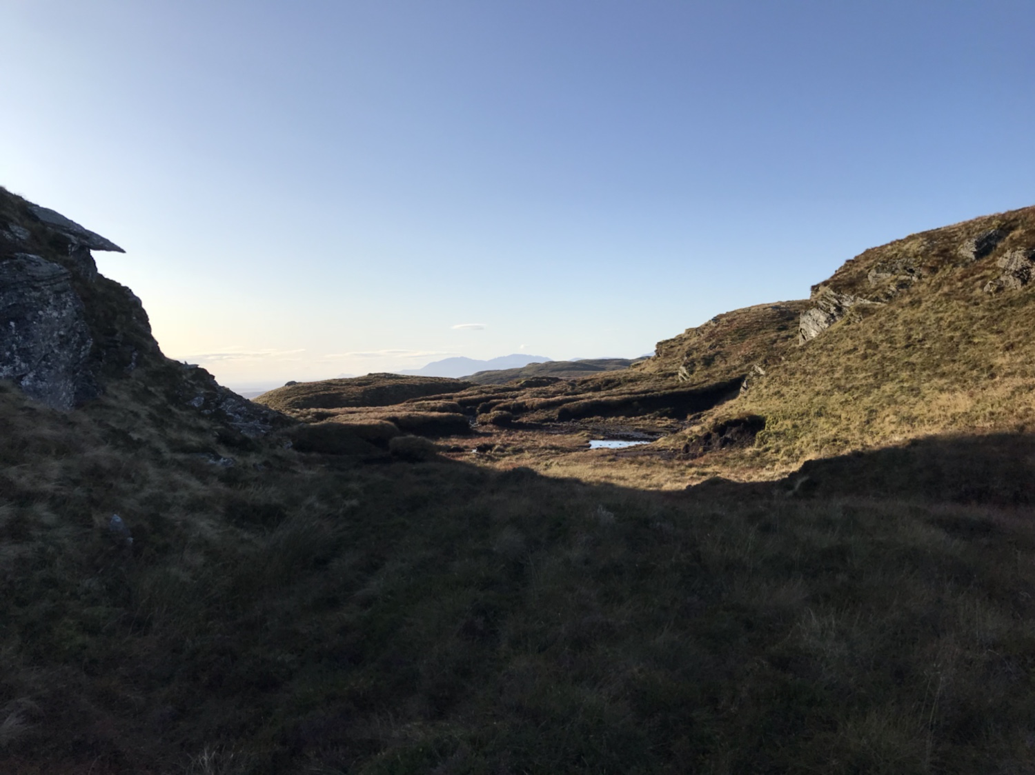
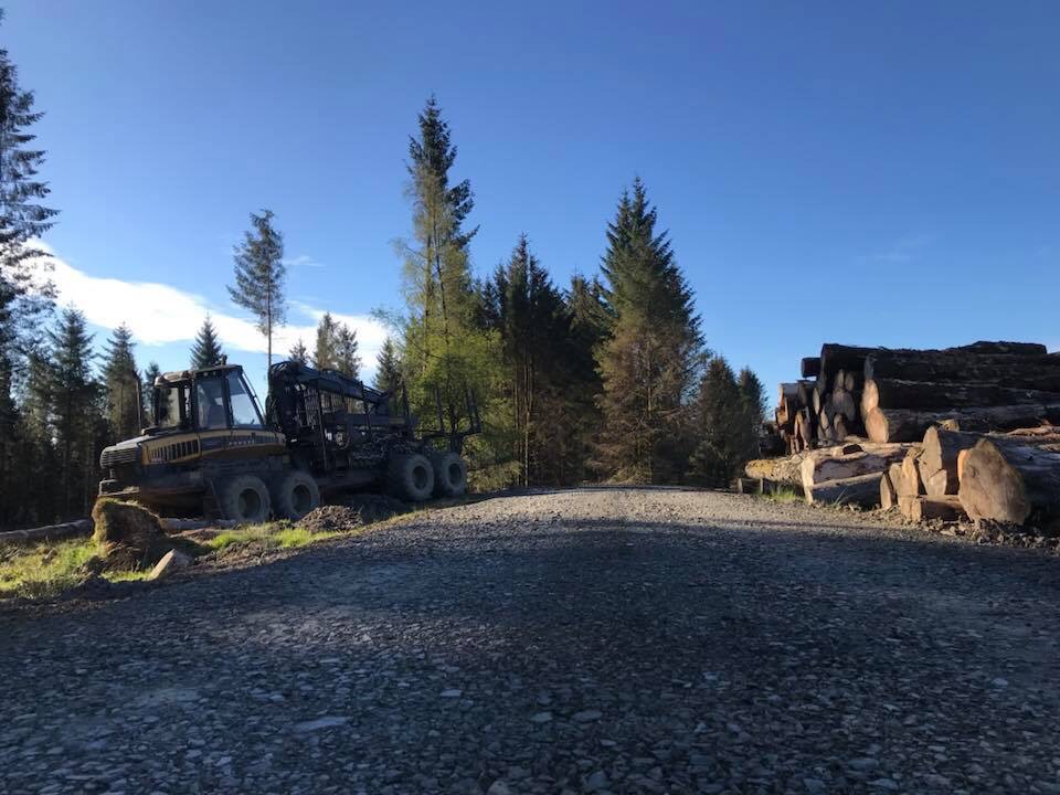
Now that the trees have been harvested and the road linked with the southern section this walk provides stunning views.
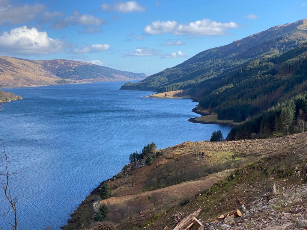
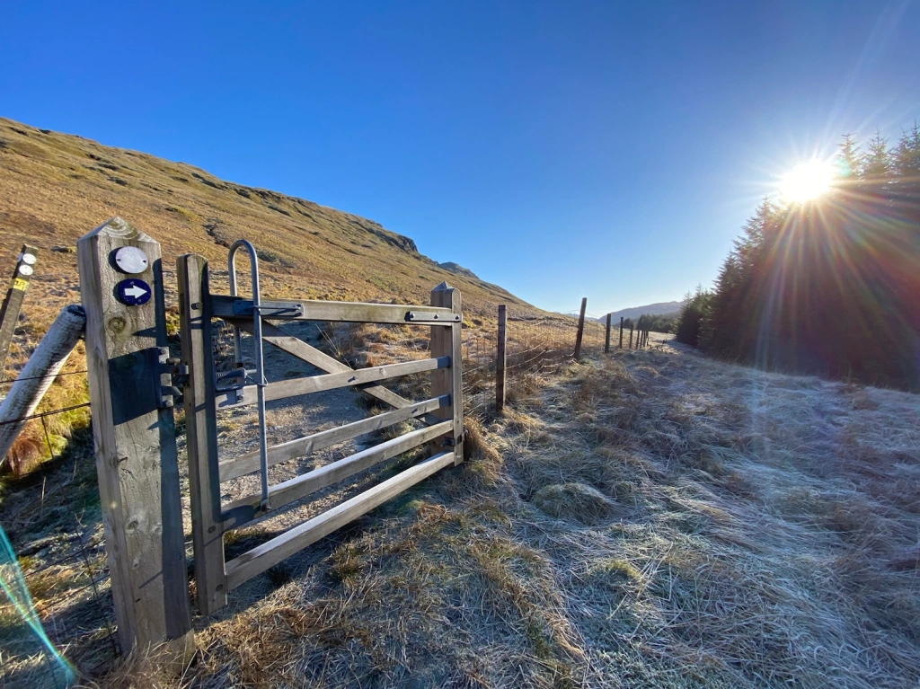
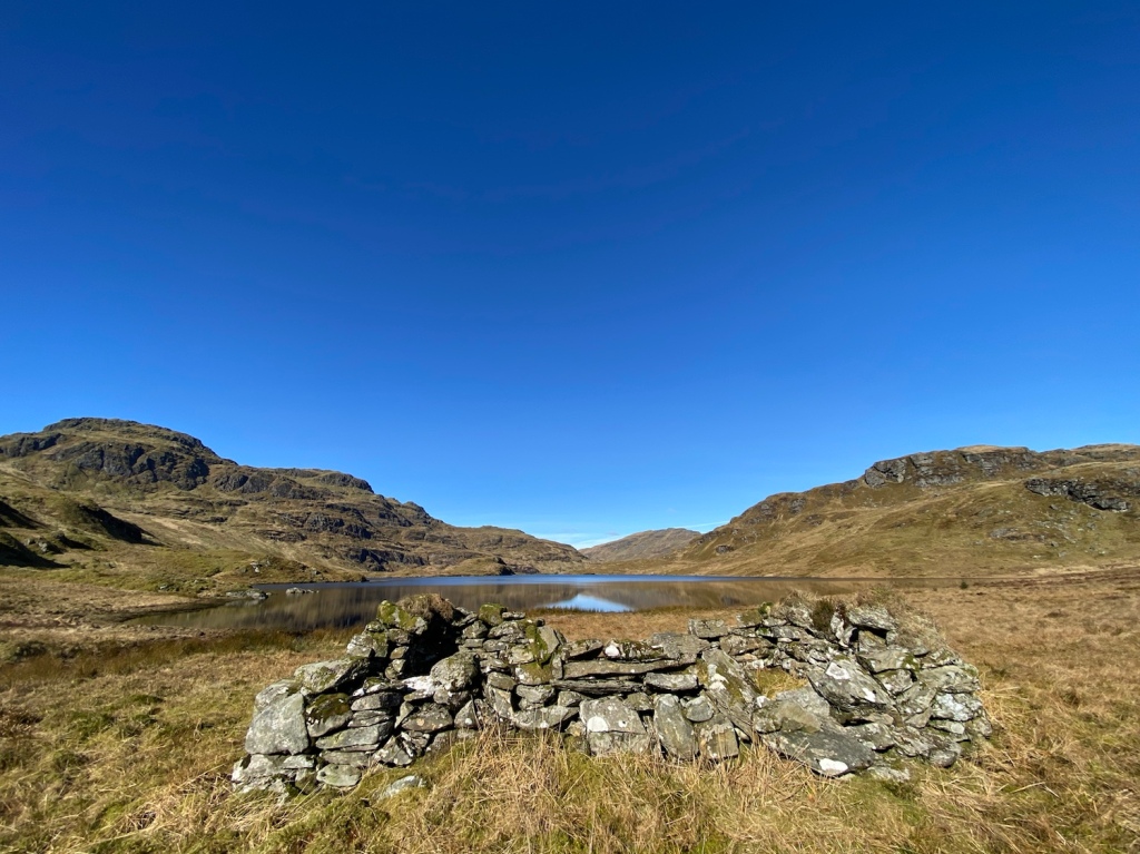
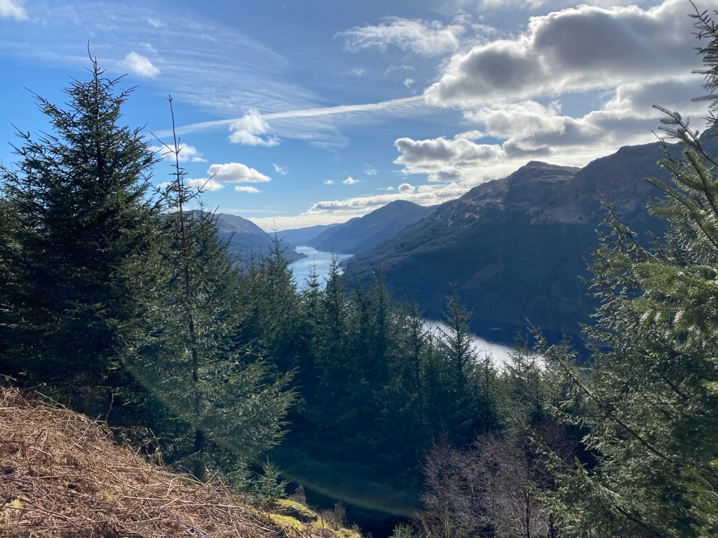
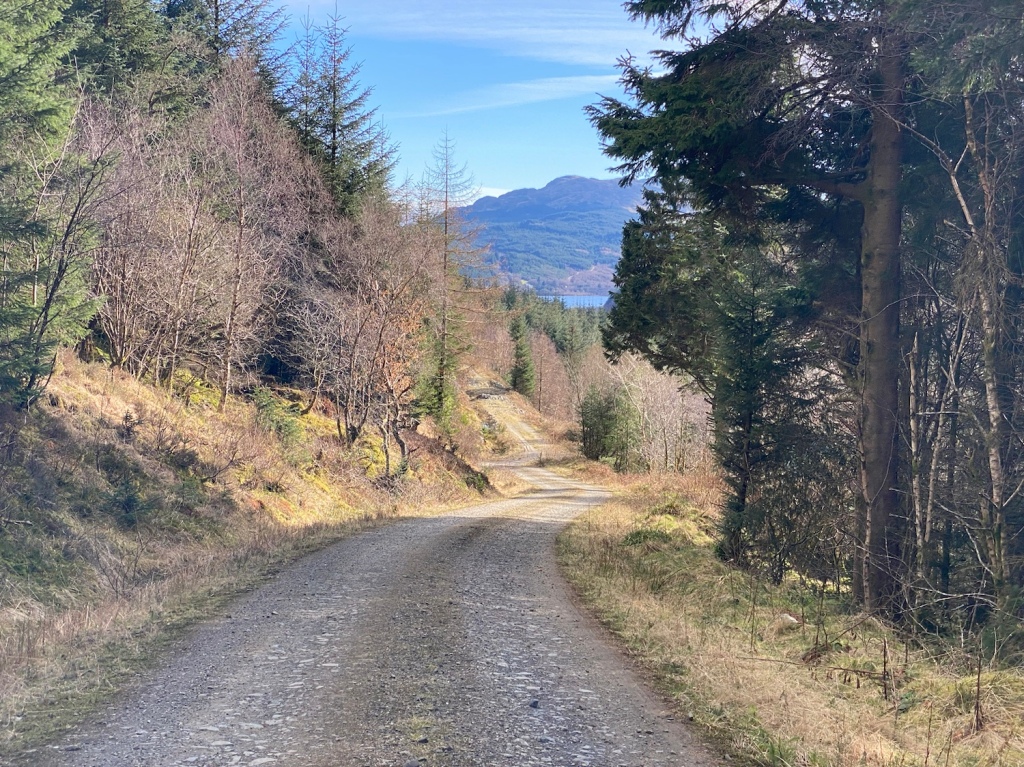
This is a straight forward walk starting and finishing at the forestry road at top of the climb of the B836 , Craigendive. Walking out to Troustan and back provides great vistas south north and over to Ardtaraig and Glenstriven. The majority of the walk is on forestry road, with a short section on forest track and open field to get to the shoreline. The walk can be extended to Colintraive
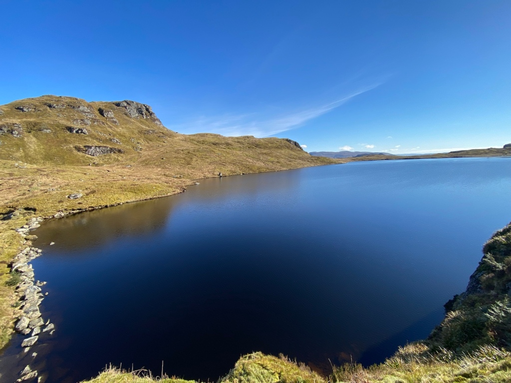
Well, it’s been a while since I’ve updated this page, but I’ve been out n about… honest. Mostly on routes already recorded, but this one is something different. This route combines Scotways routes 97 and 98 forming a loop starting and finishing at Invernoaden south of Glenbranter. Weather conditions were exceptional!
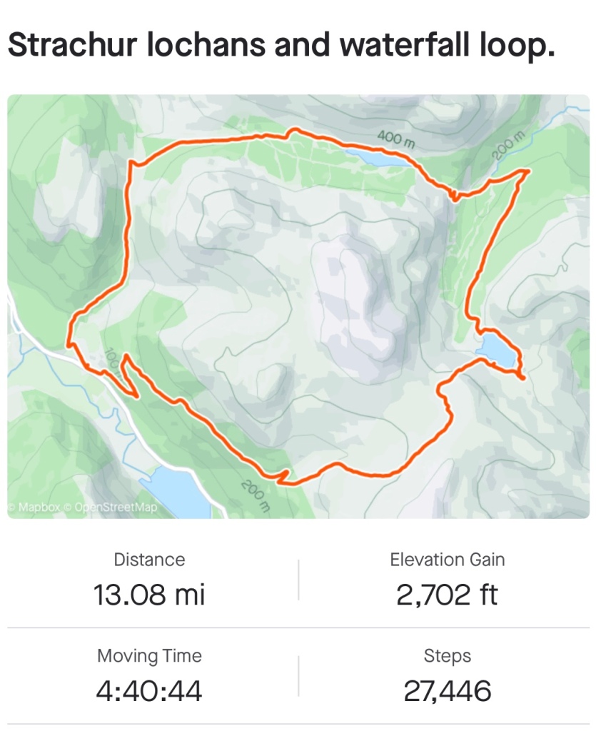
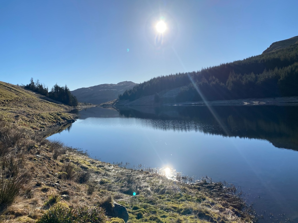
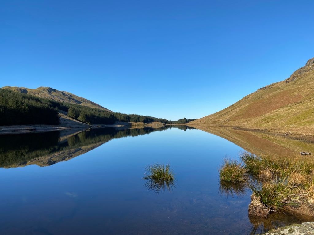
Route Name: Strachur Hill Lochs and Waterfalls
Terrain: Forestry Road, pathway and open hill
Distance: 13 miles
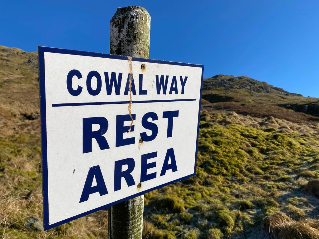
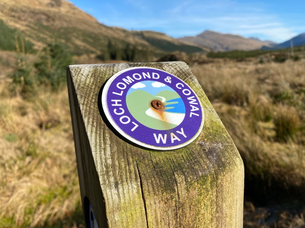
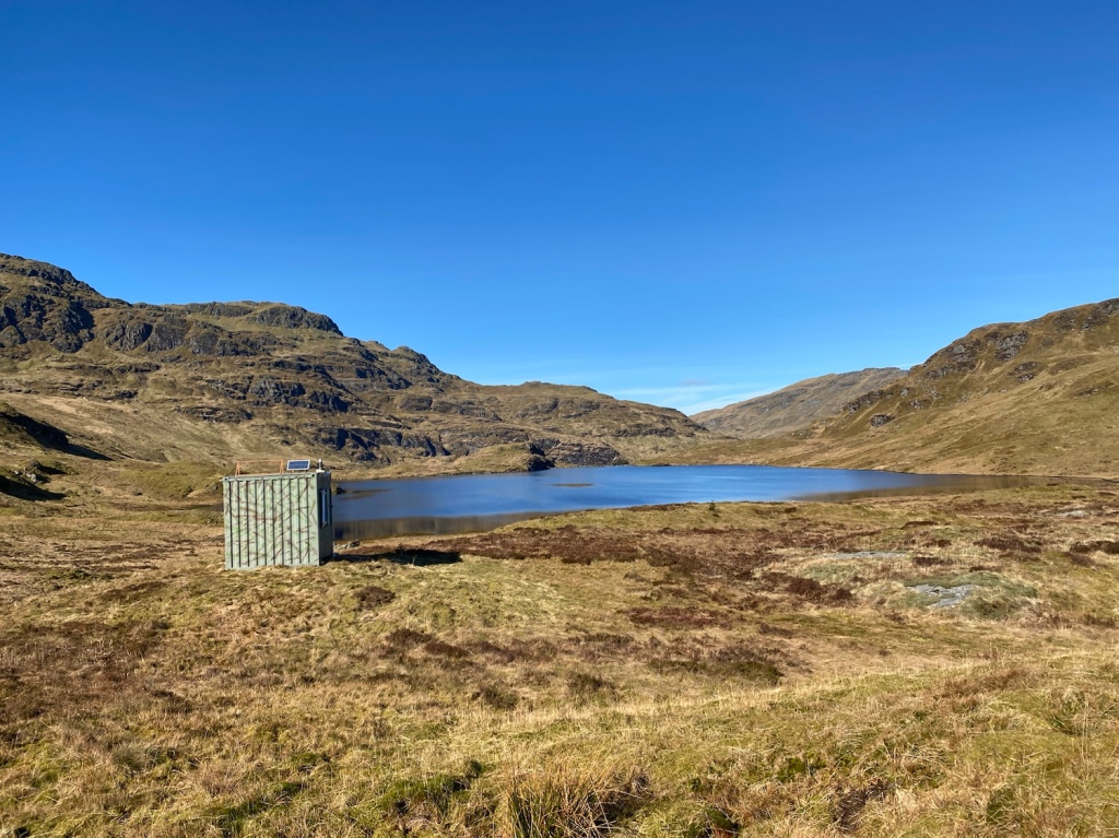
Features: Loch Lomond and Cowal Way (part of) Curra Lochain, Struth Ban Falls and Lochan Nan Cnaimh. Oh a locked Bothy as well.
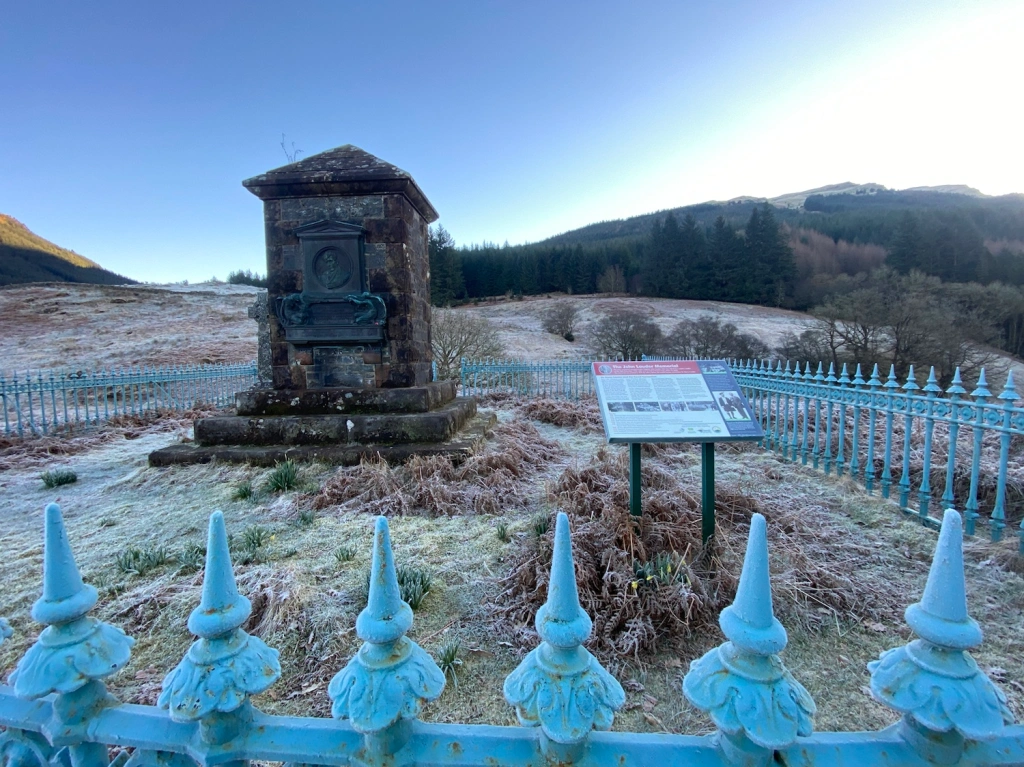
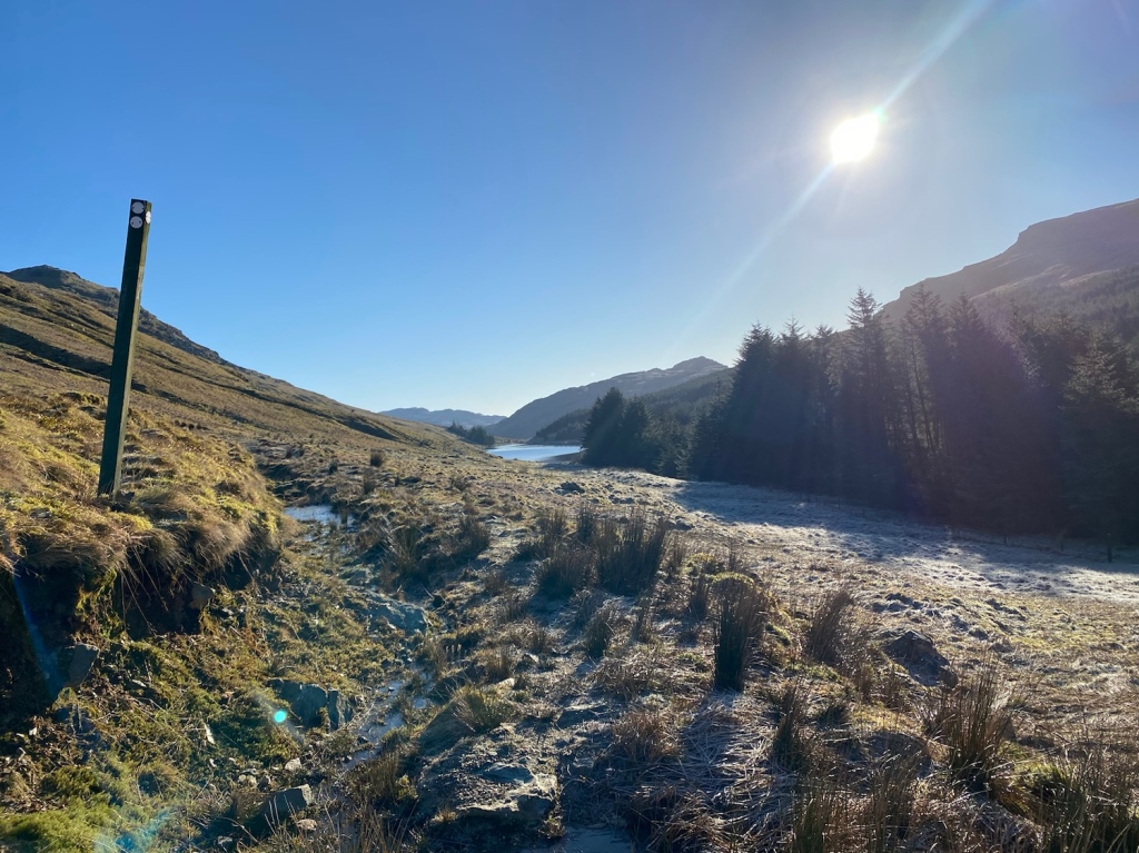
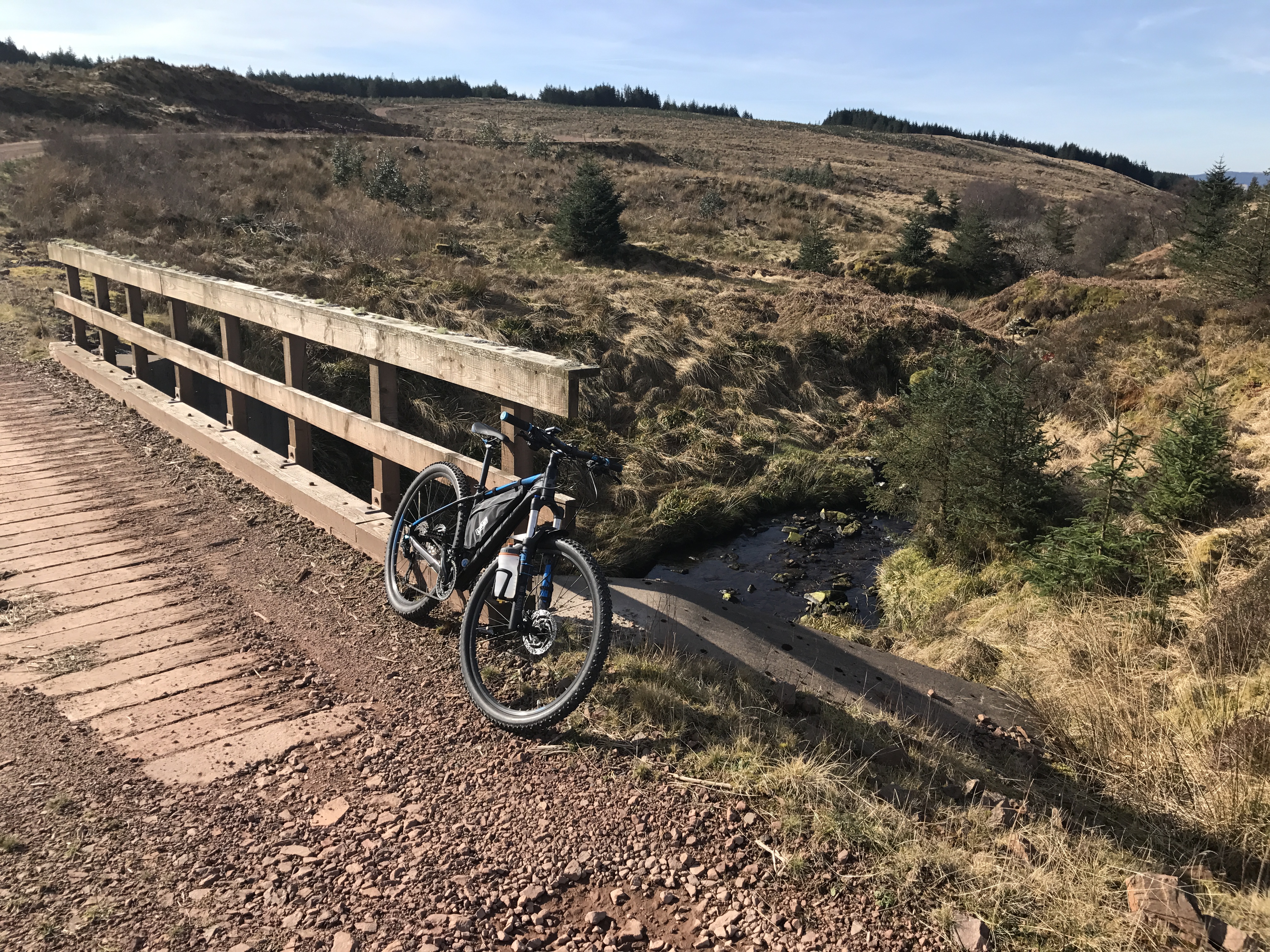
Parking at Invernoaden in the car park that was built for the Lauder Monument, the path leads to the monument then joins the unsurfaced loop road that serves the properties. Turn right on joining it and head round the crescent till a gated forestry road appears on the right. Following the forestry road it meets another, keep right at this point and continue climbing till you join the Cowal Way ( now Loch Lomond and Cowal Way).
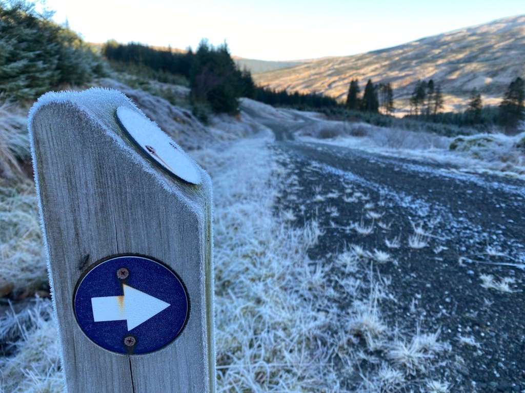
From here the marker posts guide you on your way. The last time I was on the section of LLCW ( Cowal Way in a Day ) the pathway from the end of forestry road to Curra Lochain hadn’t been install, this is an excellent addition.
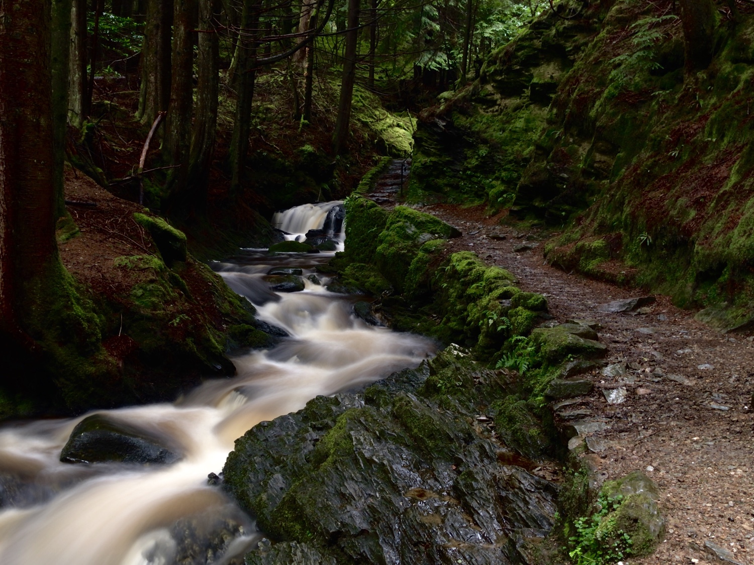
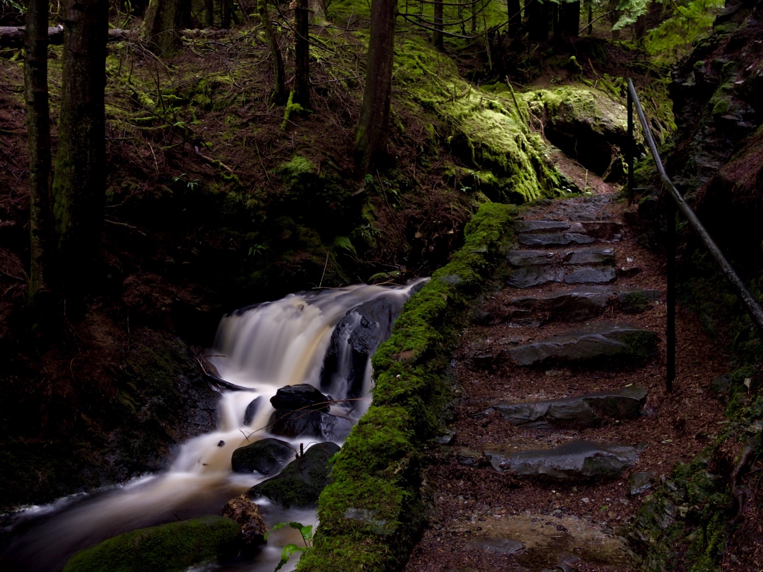
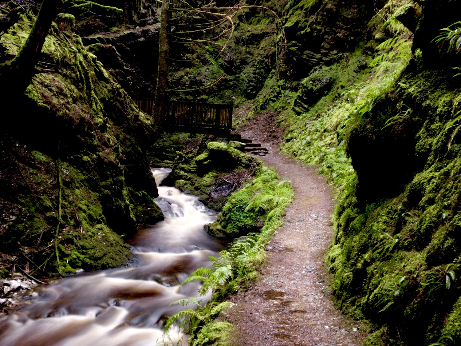
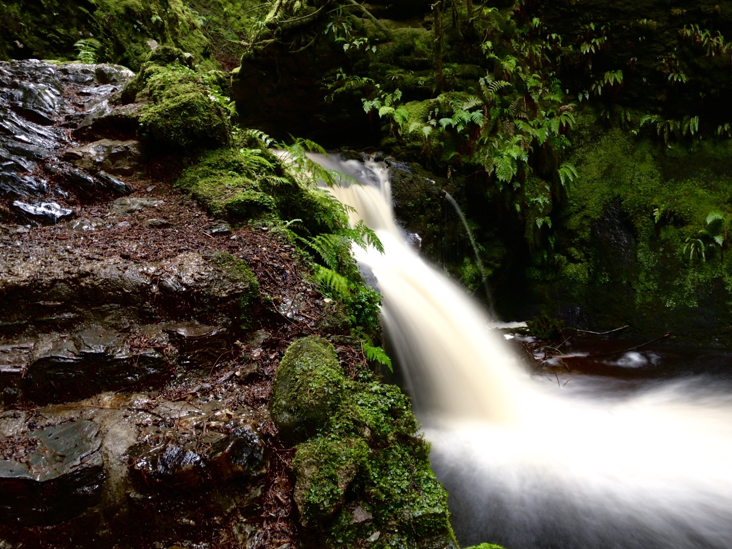
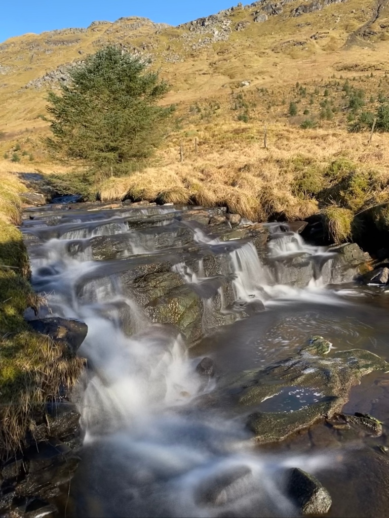
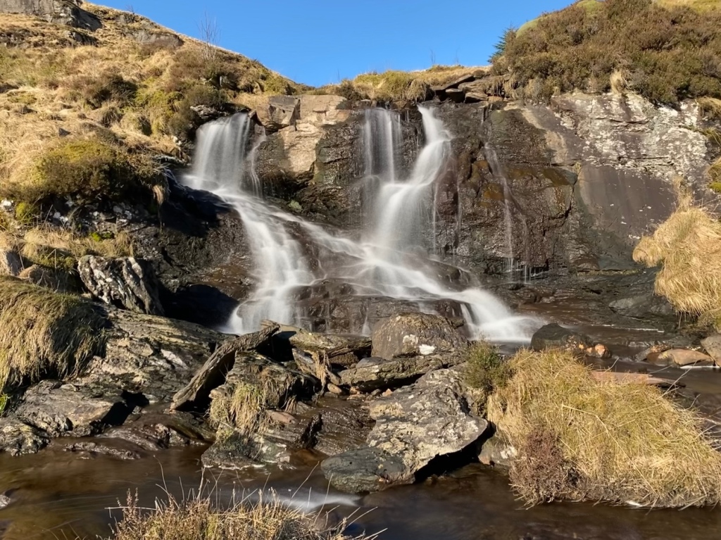
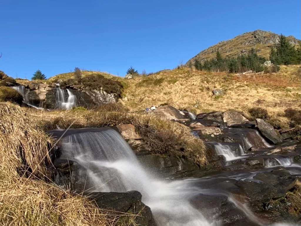
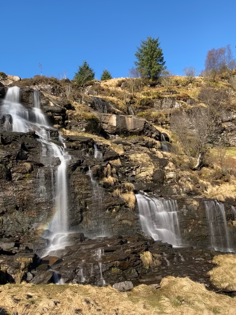
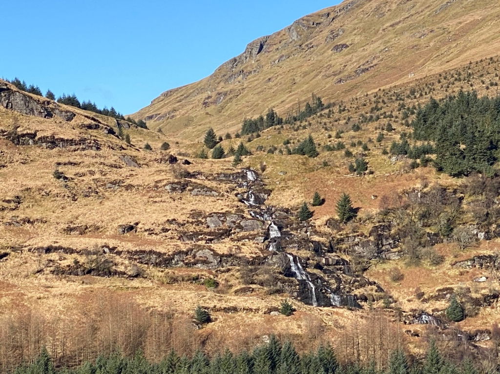
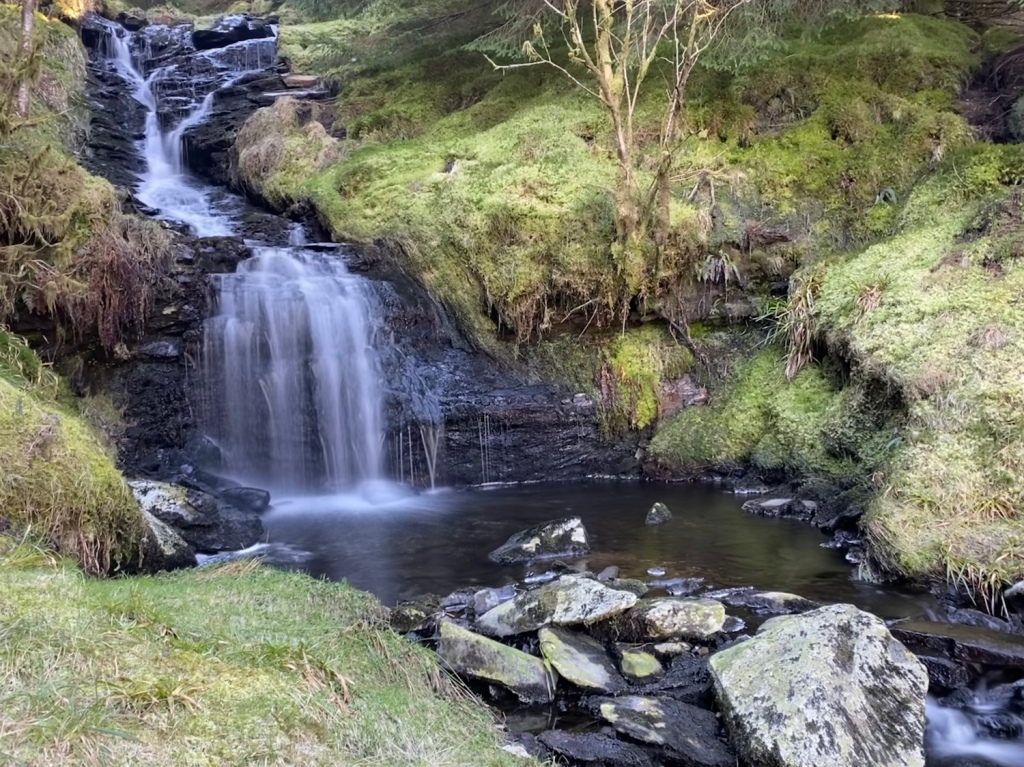
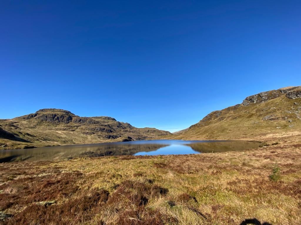
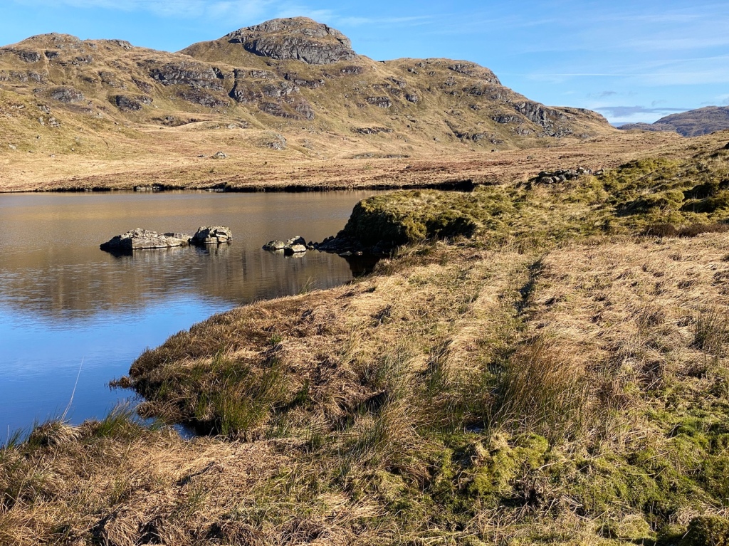
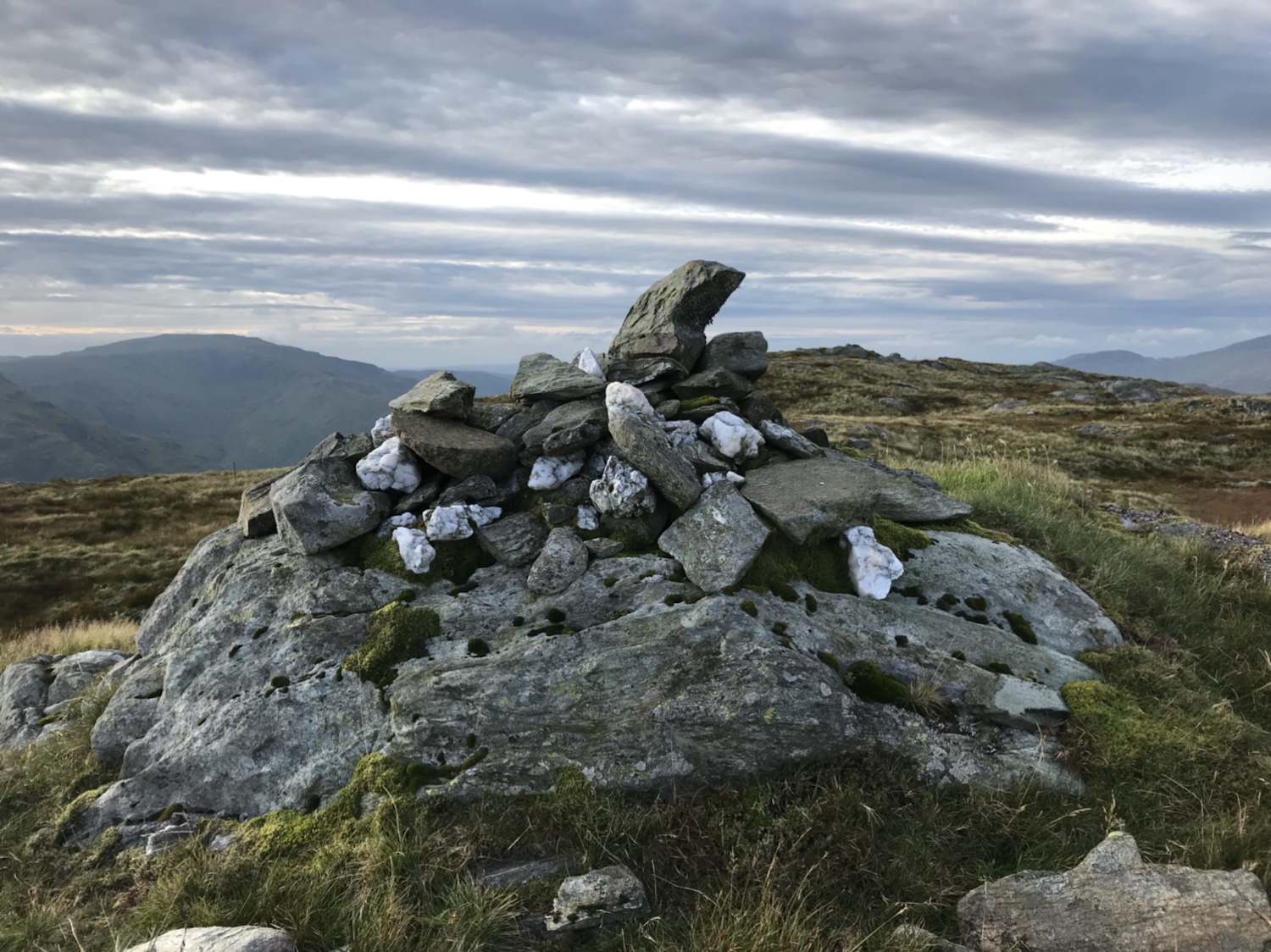
Now, I hope the following photos do the Lochain (Lochan) justice, I think they almost do. Once you’re at the end of the lochan there are two options, one take the multi purpose road ( sounds boring,ha) OR cross the outfall of the lochan and head down the subsequent waterfalls. The ground is wet and tussocky but worth the effort negotiating it!


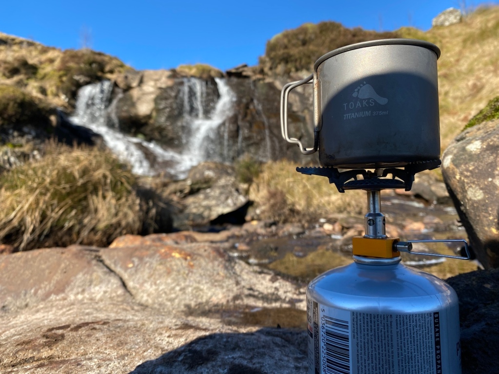
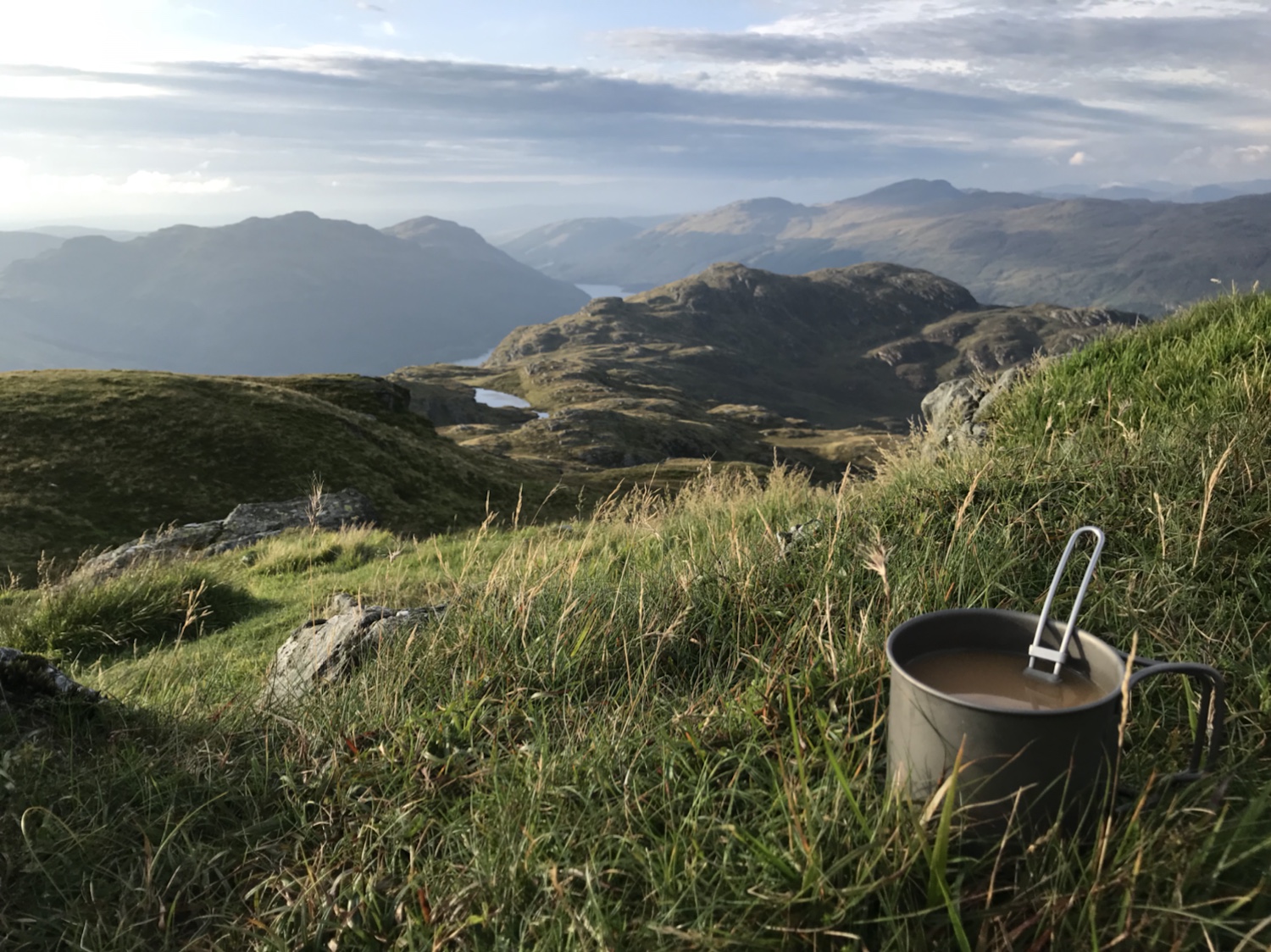
There wasn’t a great deal of water in the falls yet they’re still stunning. Numerous spots for photo opportunities, I even managed out to one of the wee islands to make a coffee.
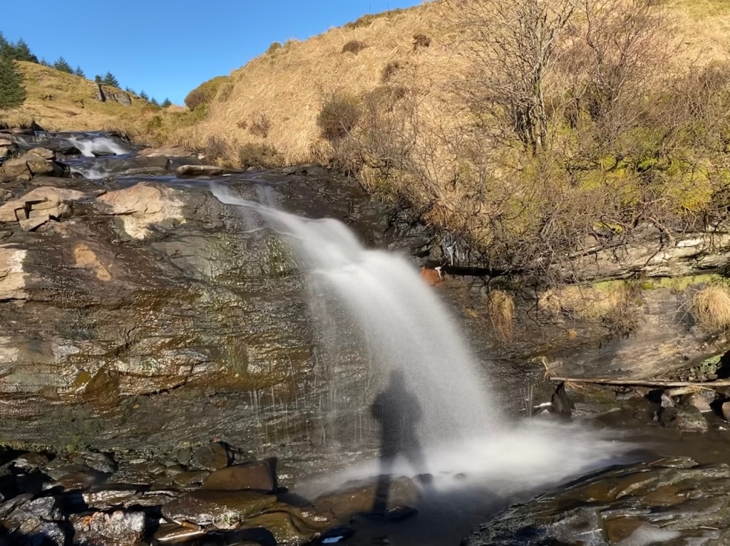
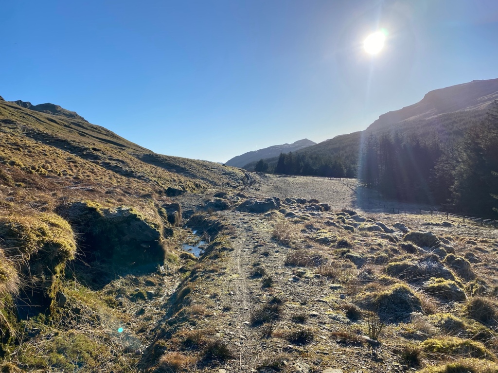
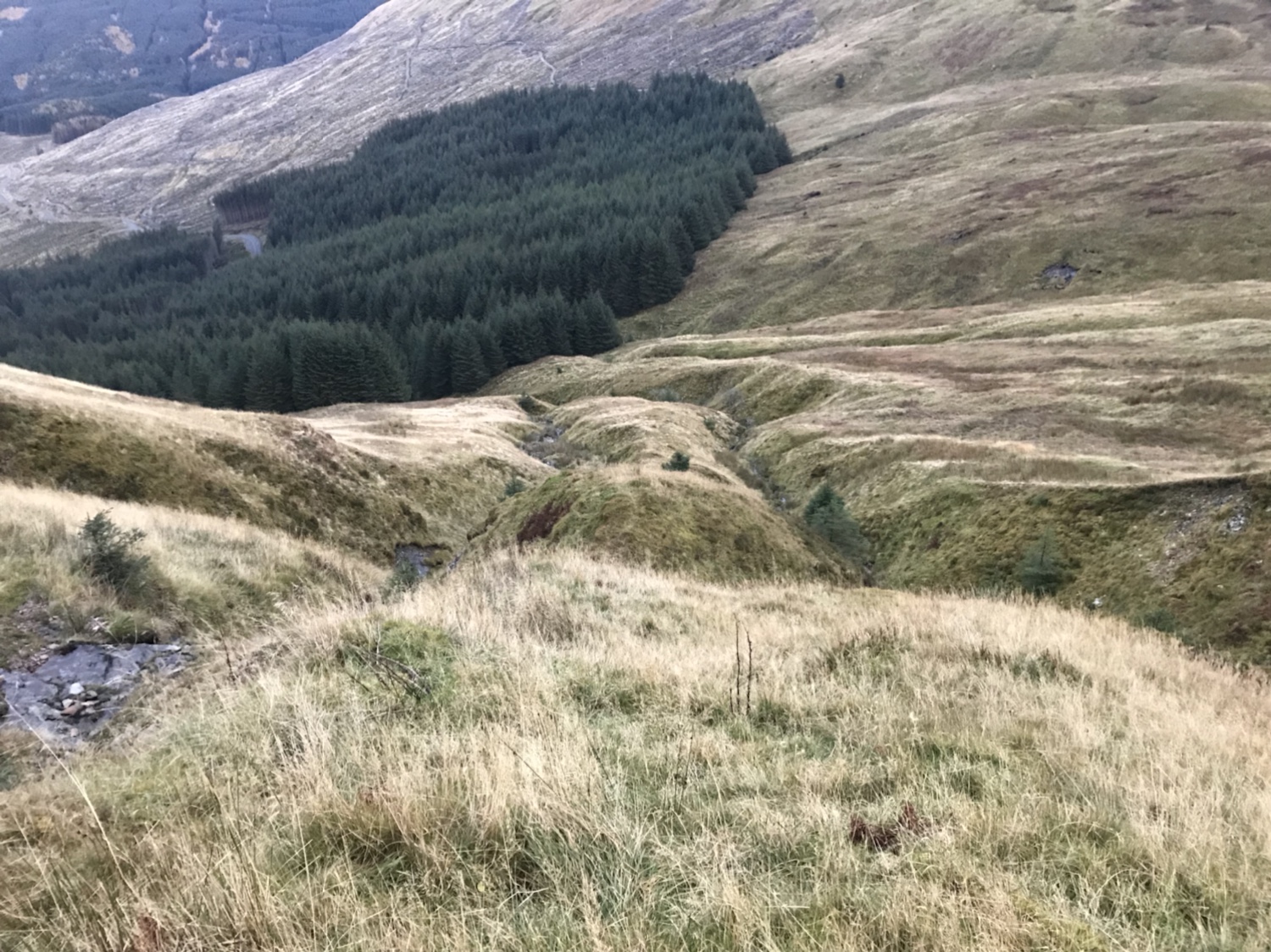
The climb down from the falls isn’t so well way marked but there is a trodden path of sorts that leads you into the trees then down to the forestry road.
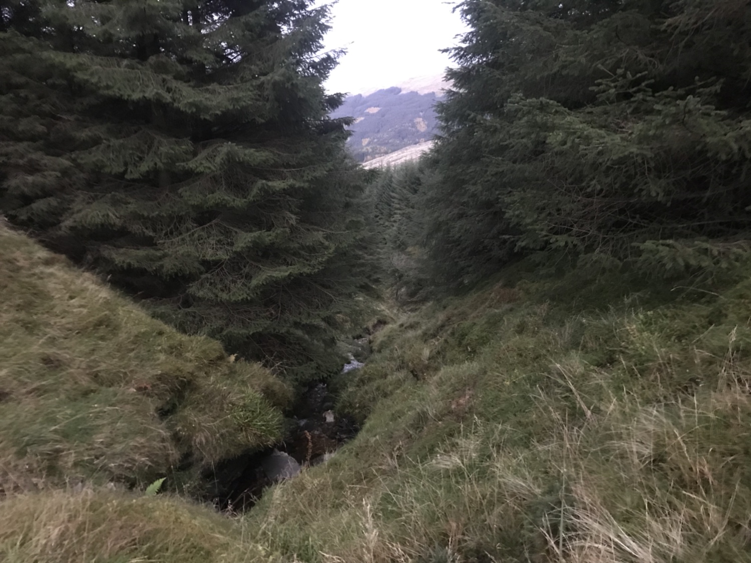
At the end of the road there is a quad track that replaced the firebreak that once existed. This terminates eventually, you leave this by dropping down crossing a wee burn and sucking under a fallen tree. Continuing along the break, a trodden path is evident in parts. Once you reach a burn running across the path you cross it and start climbing through the forest or burn side ( keeping it on the left ).
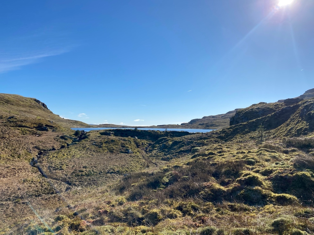
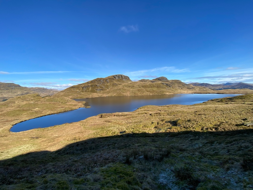
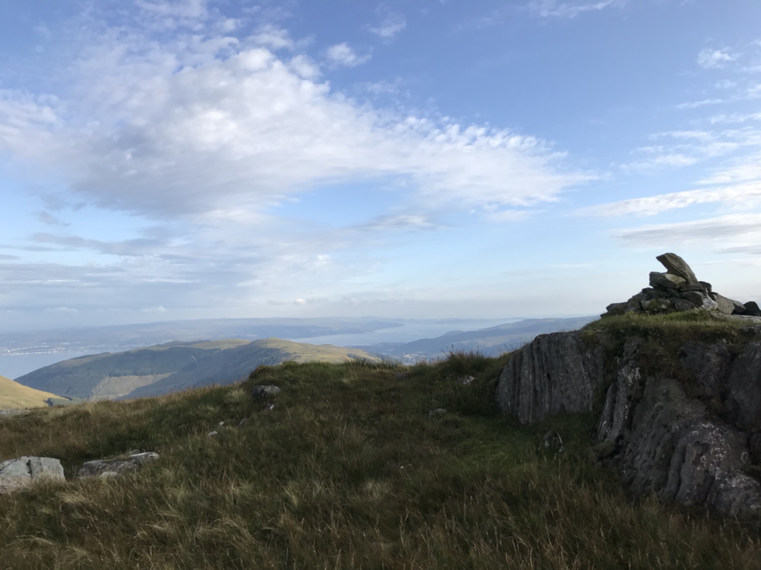
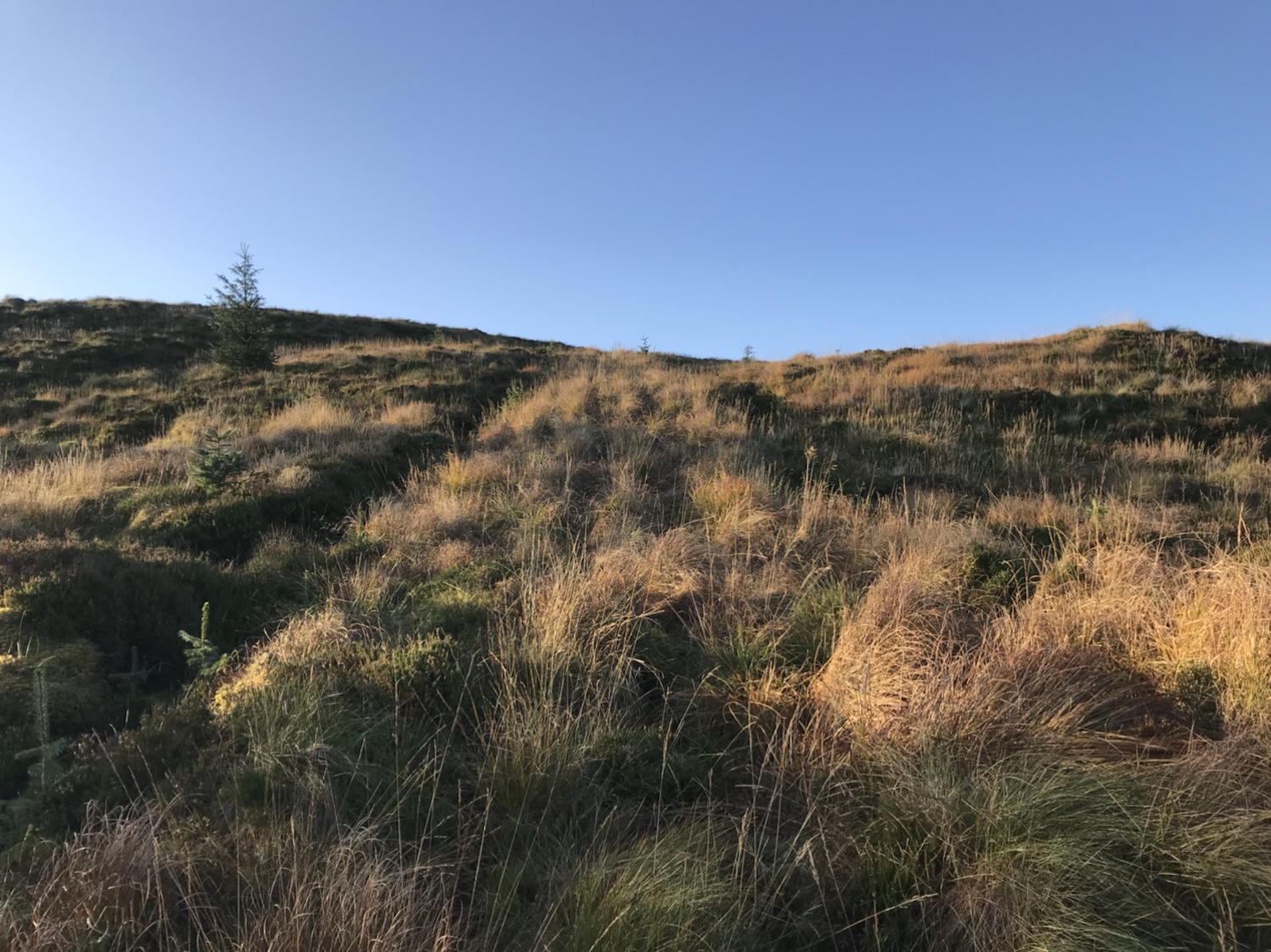
Out the tree line and onto the open hill there is a low fence to step over. Once negotiated you head towards a large rocky face, keeping to the left of it – you have arrived at Lochan Nan Cnaimh, what a place. I chose to circumnavigate the lochan rather than skirt round the northern side to head direct to the bealach.
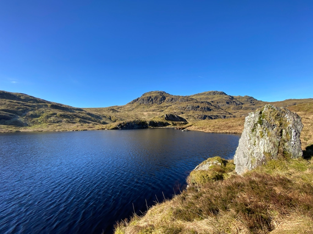
Once round the lochan it’s the hike up the hill to the bealach, no set route just wind your way up, some good spots for further photos (rest stops).
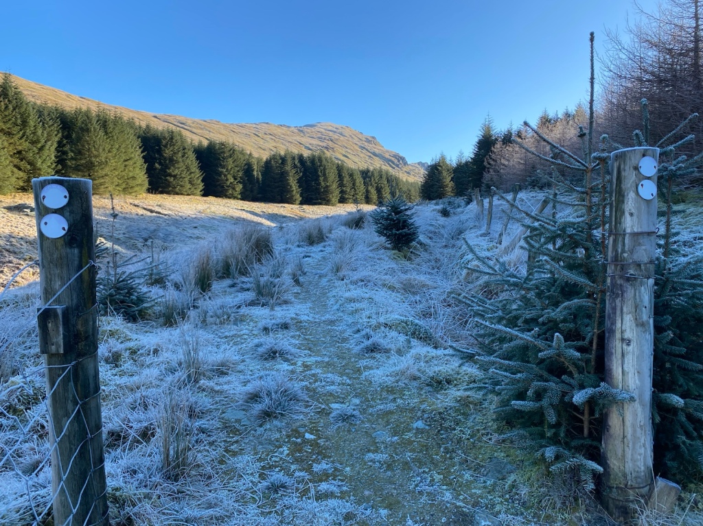
Once on the bealach there are a series of old posts. Initially fence posts but there are a few with faded markers. You can navigate to them in series, most you can see next one to head for. The direct path isn’t always the best, it’s pretty boggy up there but as long as you’re progressing in the right direction (south west) that’s the main thing.

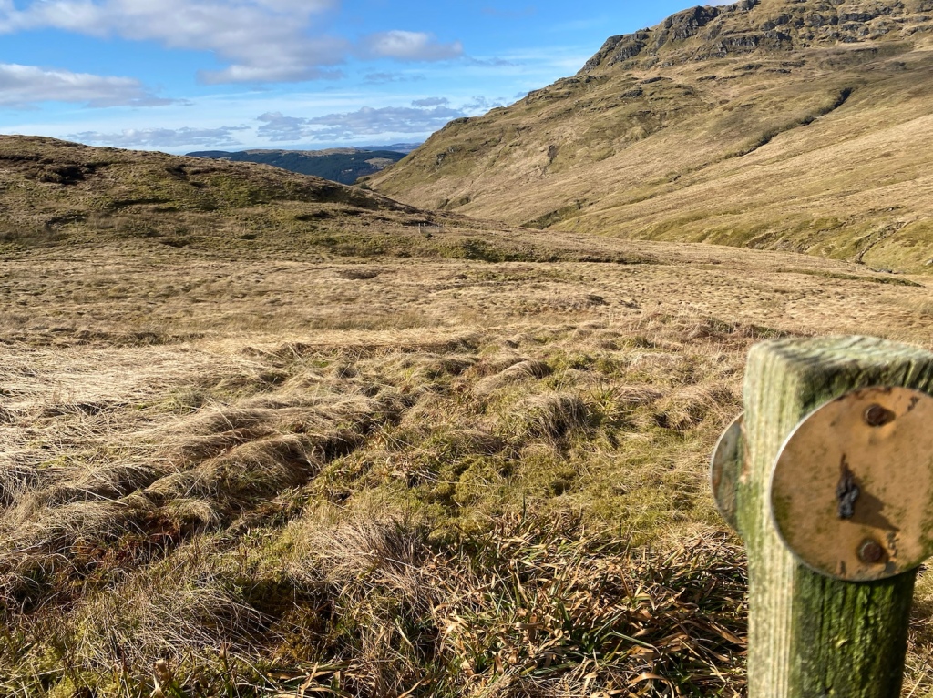
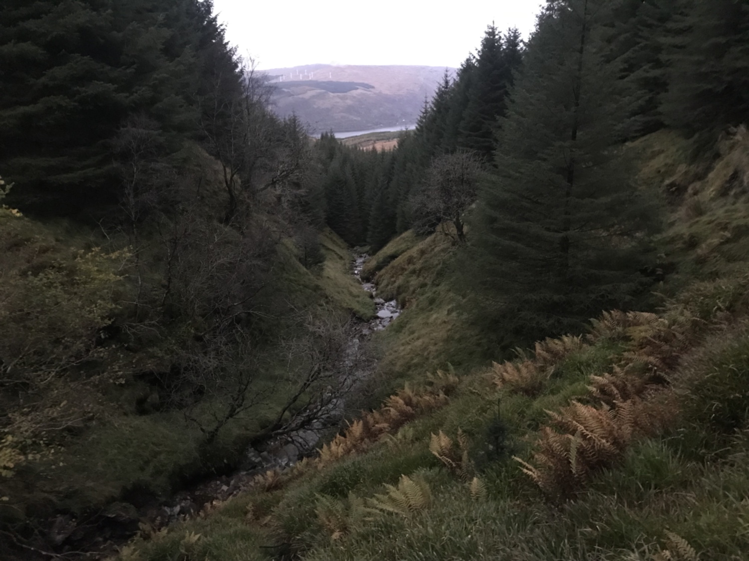
Once across the bealach you need to pass through a plantation. Gated access/exits either side. There are marker posts are evident. Just before reaching the gate there’s a steep wee gully to conquer, it poses no real issues with its grassy banks and narrow stream.

All in all a great walk, a great way to spend a day on the hills. Take food n drink and enjoy the scenery. 👍
Not seen enough? I took some videos of the route and stuck them on YouTube
Map on Outdoor Active HERE
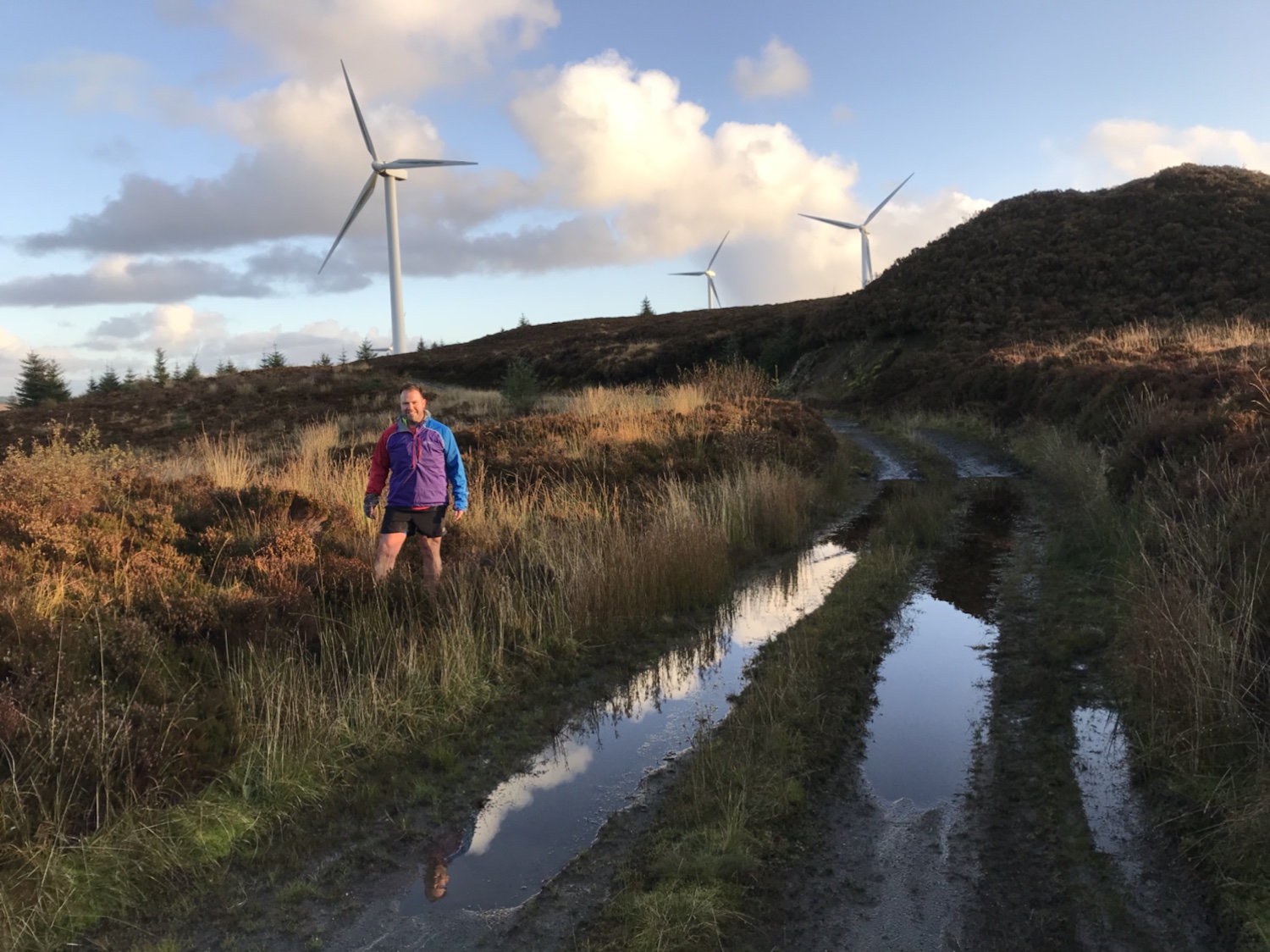
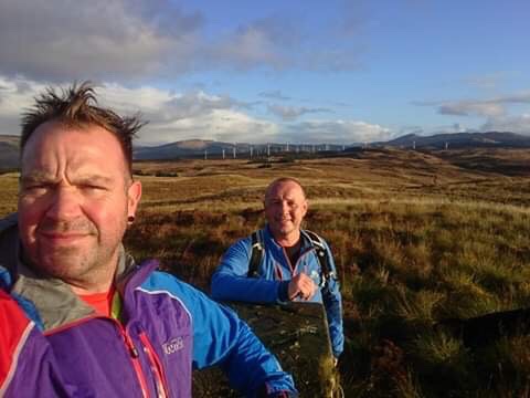
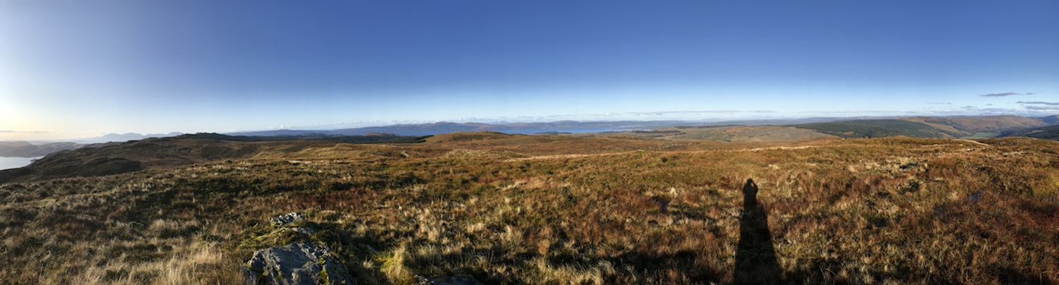
Another day another trig on this 9.5 mile leg stretch. Had the company of Fitzy (the selfie master) and his two K9’s – Murphy and Horrid Henry. 🐶
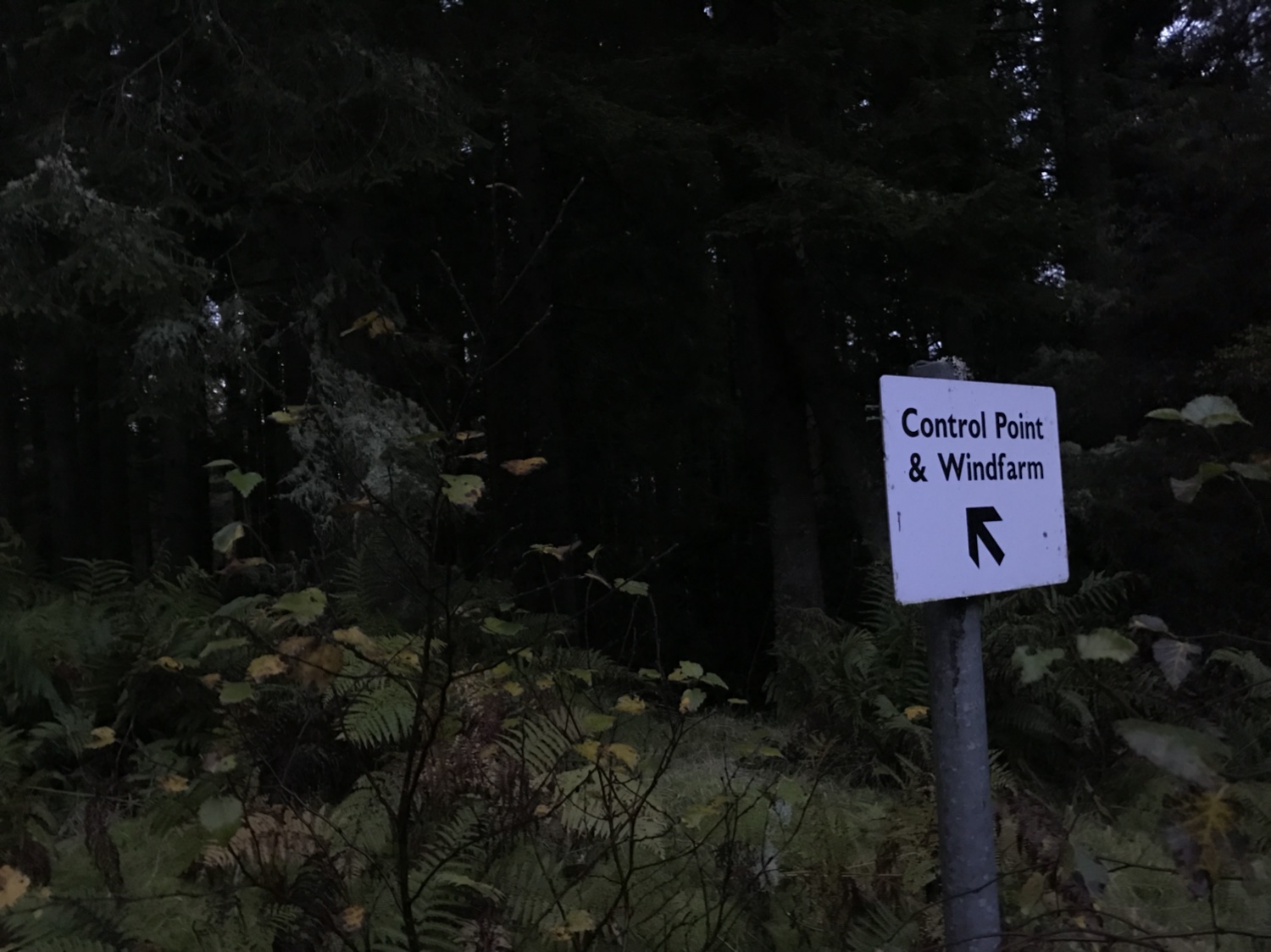
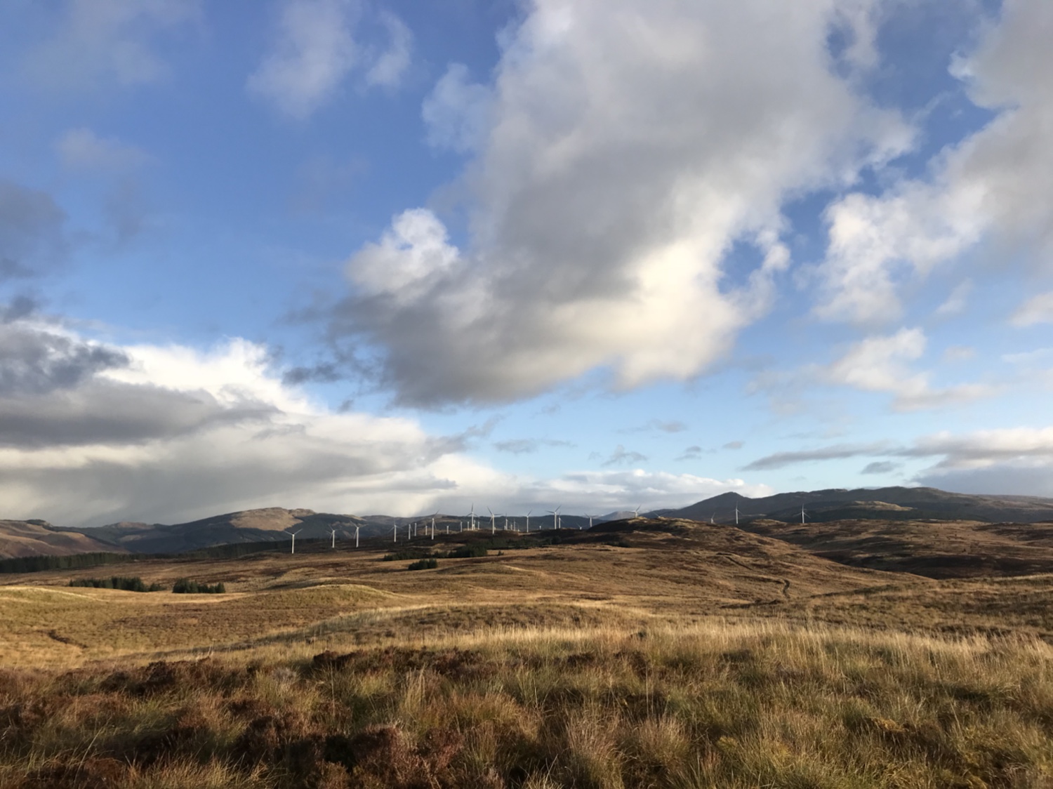
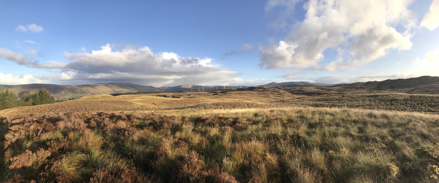
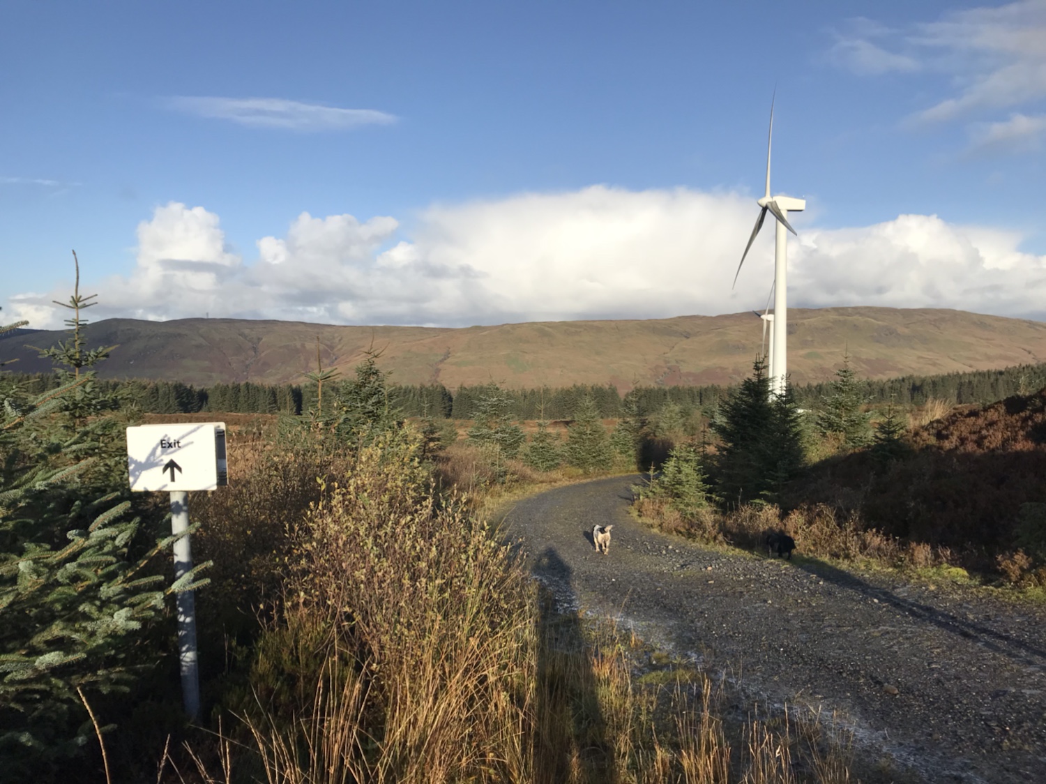
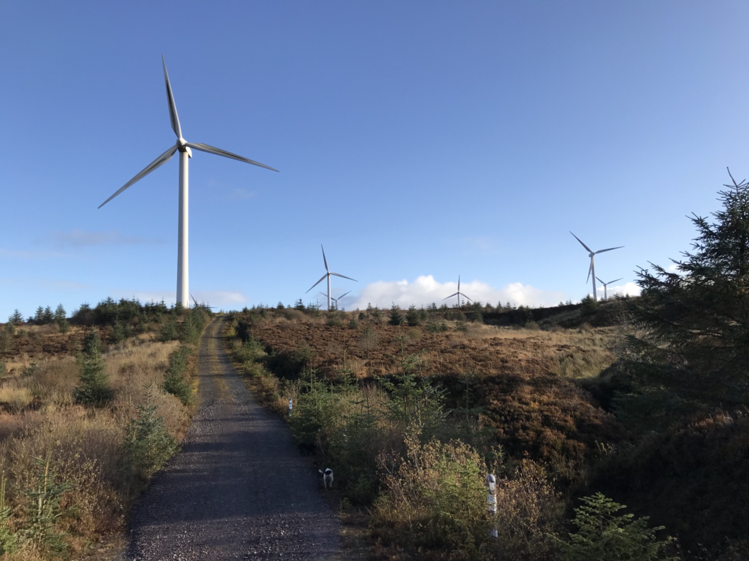
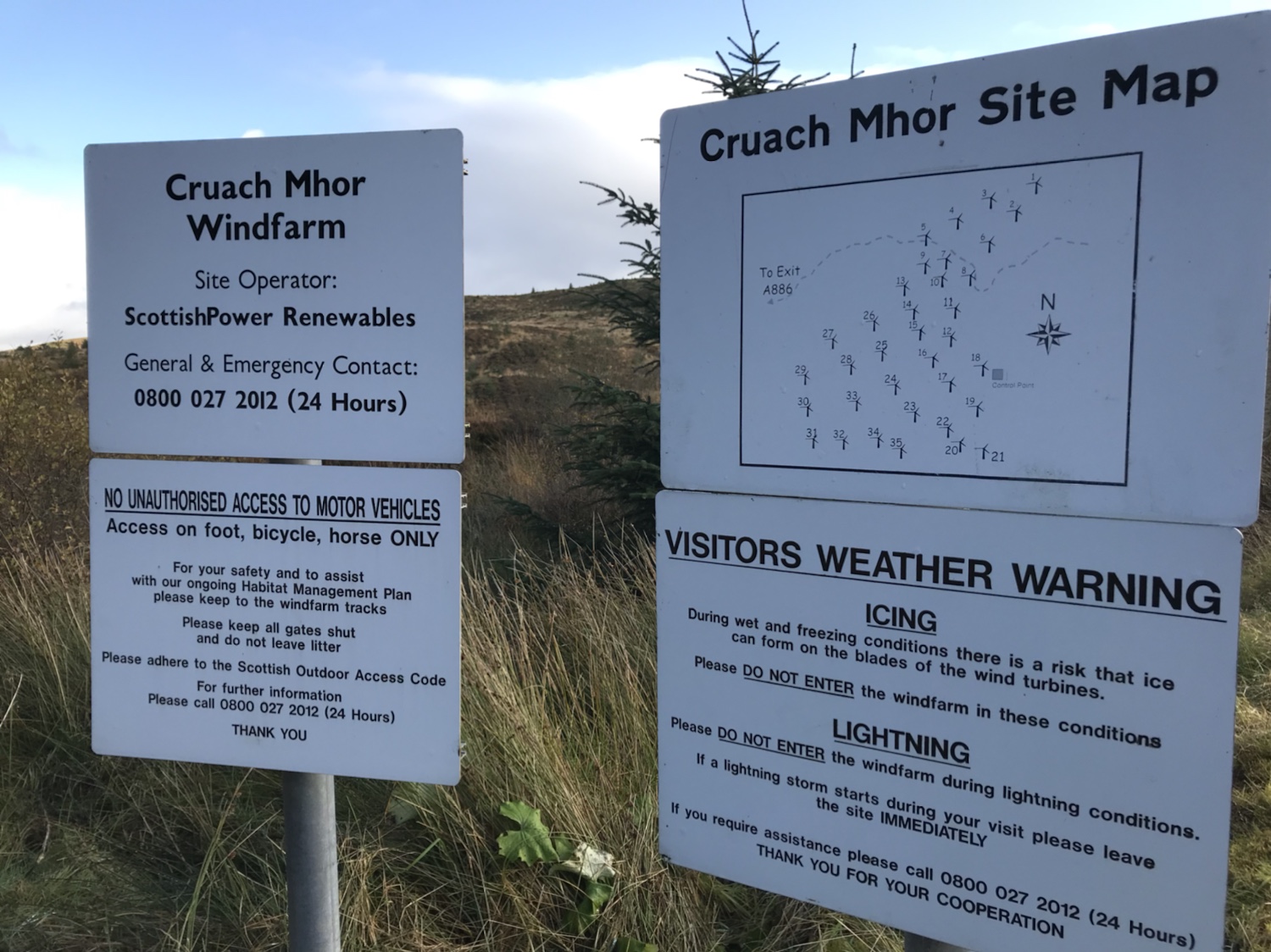
Utilising the forestry road and the network of roads within the wind farm, the trig is easily reached although the last section is over open ground.
A cold start through the wind farm until the sun decided to make its appearance.
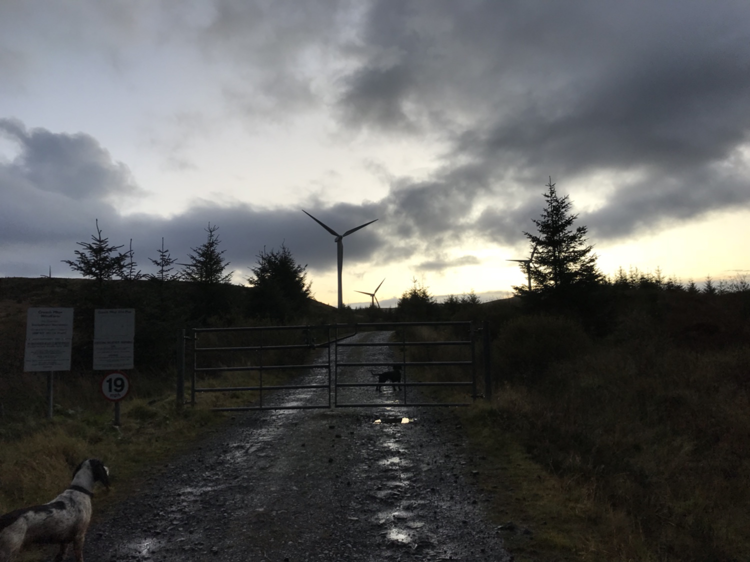
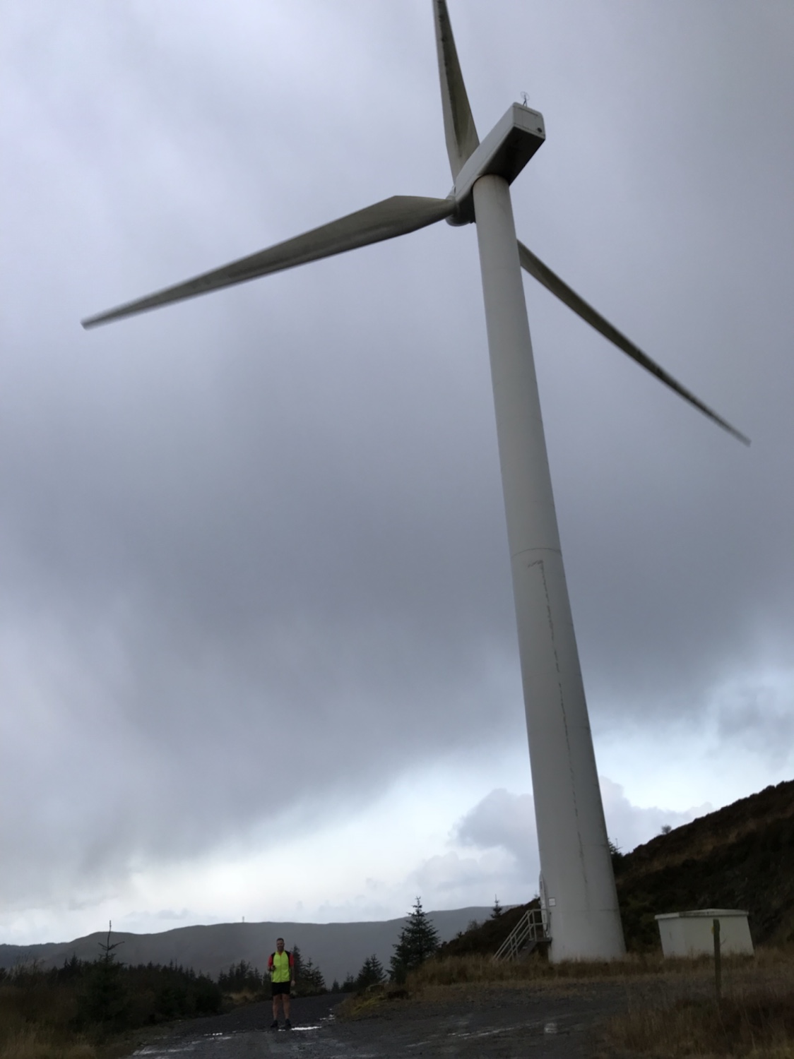
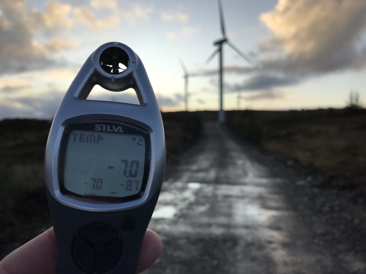
Number 31 turbine in the far corner is the markers for the road that heads through the open plateau. This road deteriorates from hardcore to wet and overgrown and eventually open hill. The open hill is only for 500mts or so, a result in comparison to previous trig points.
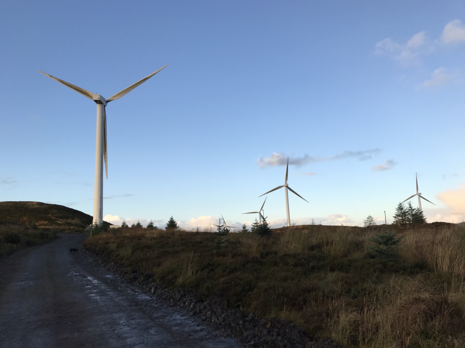

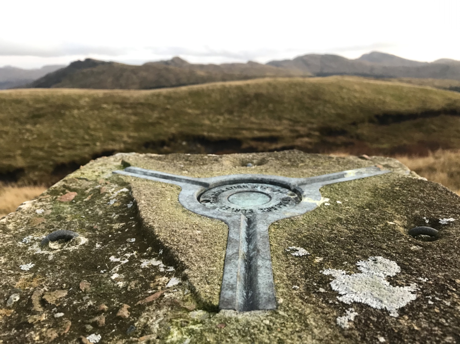
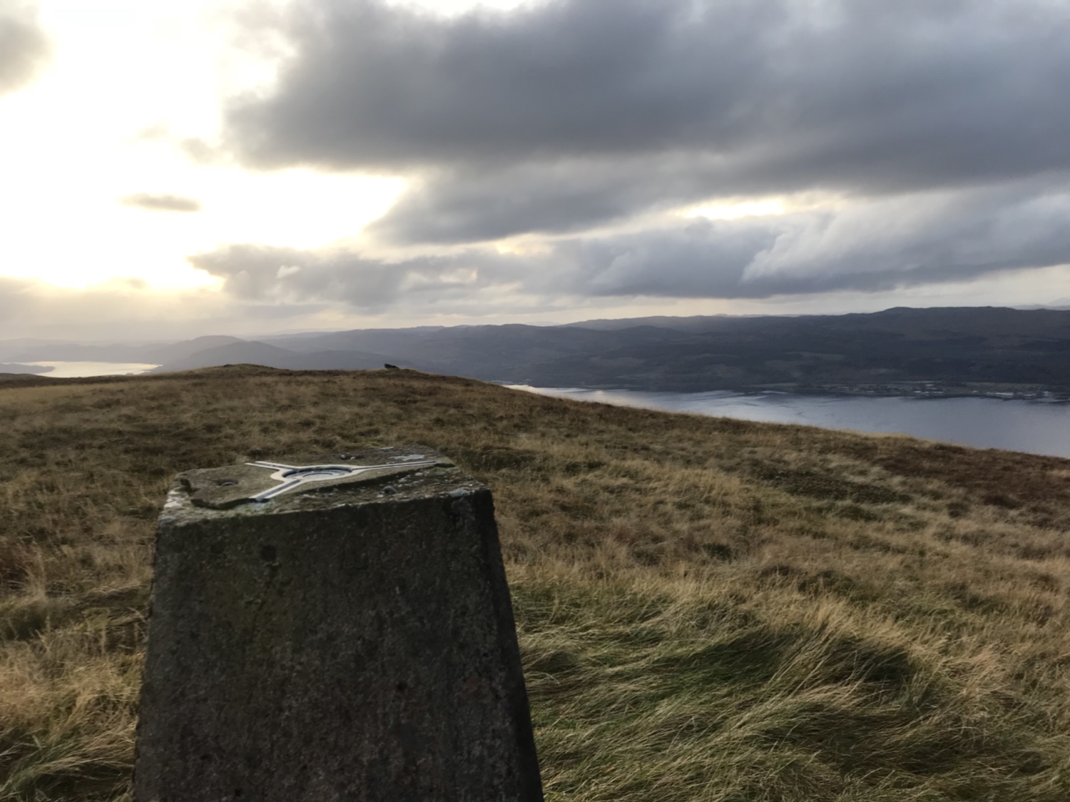
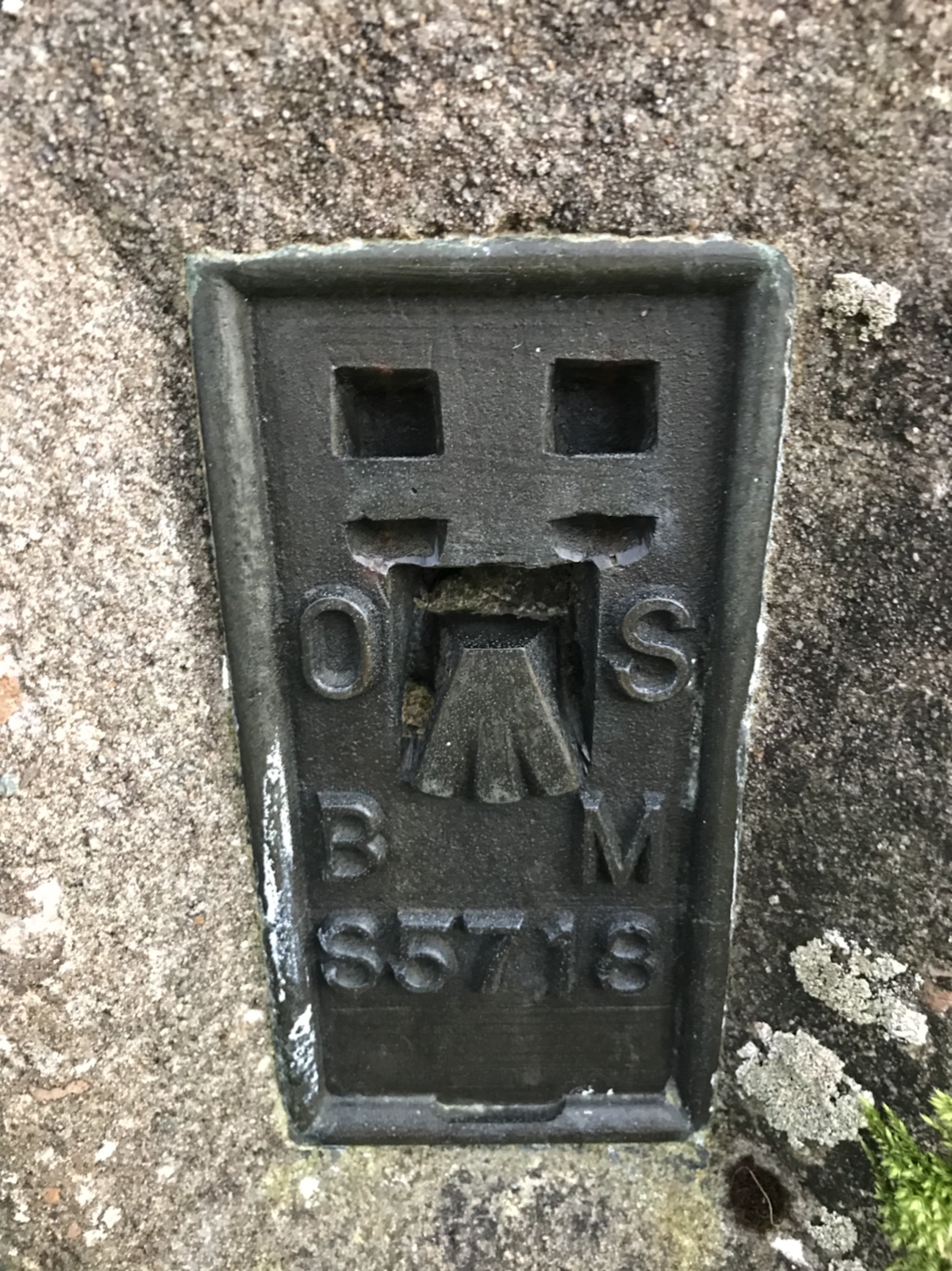
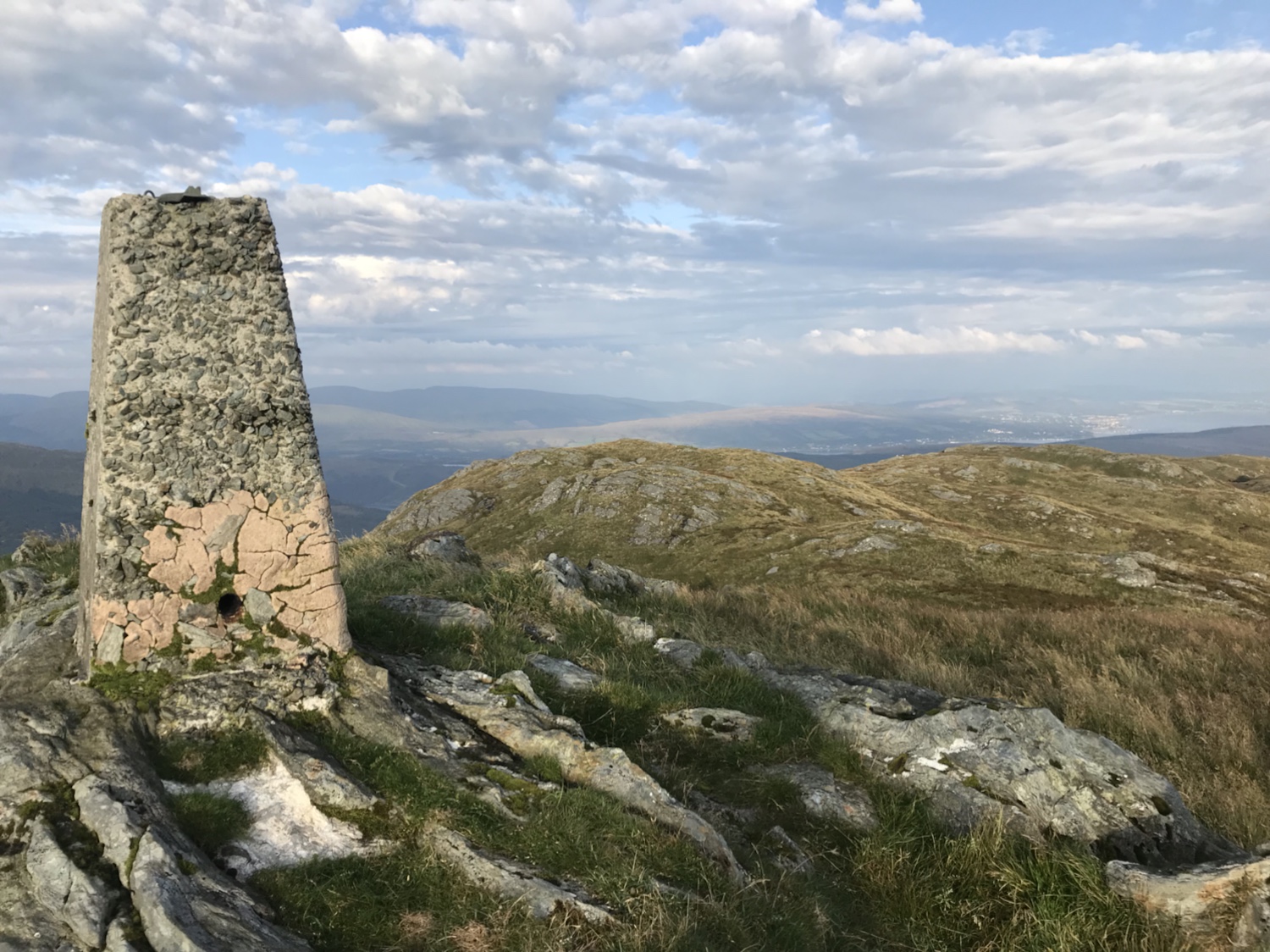
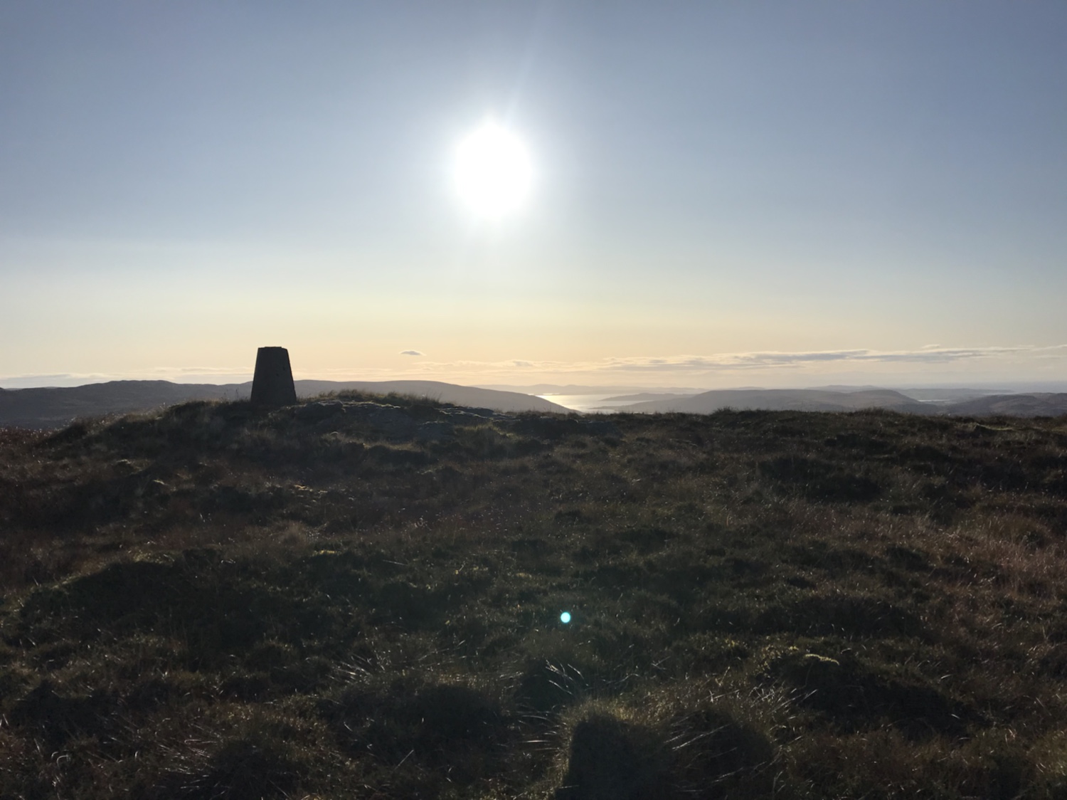
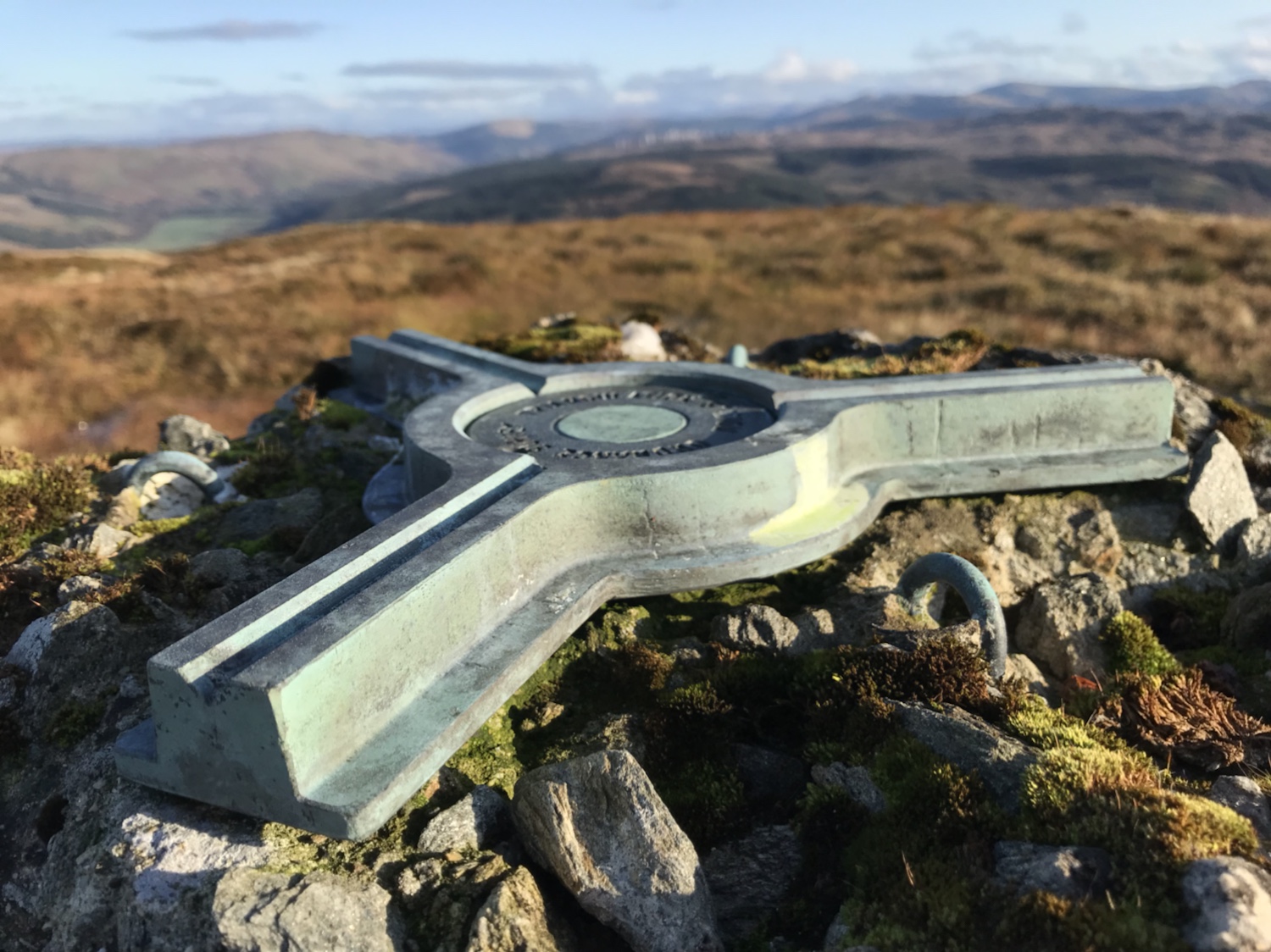
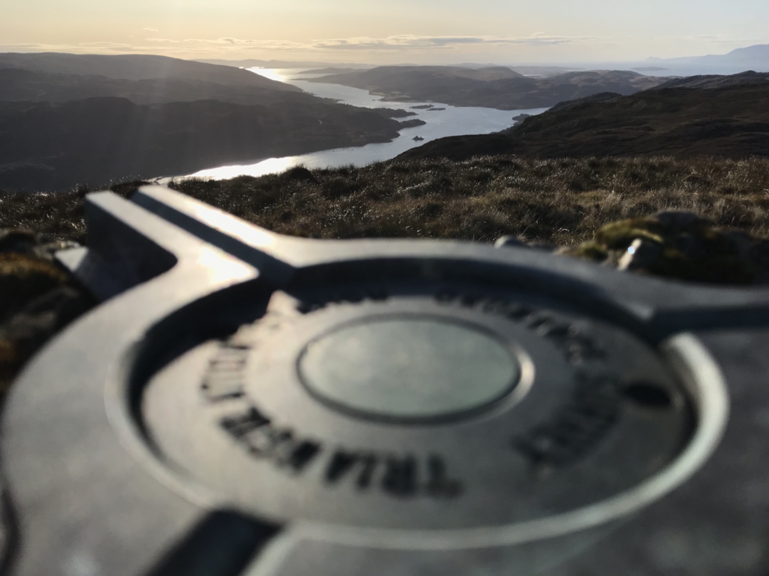
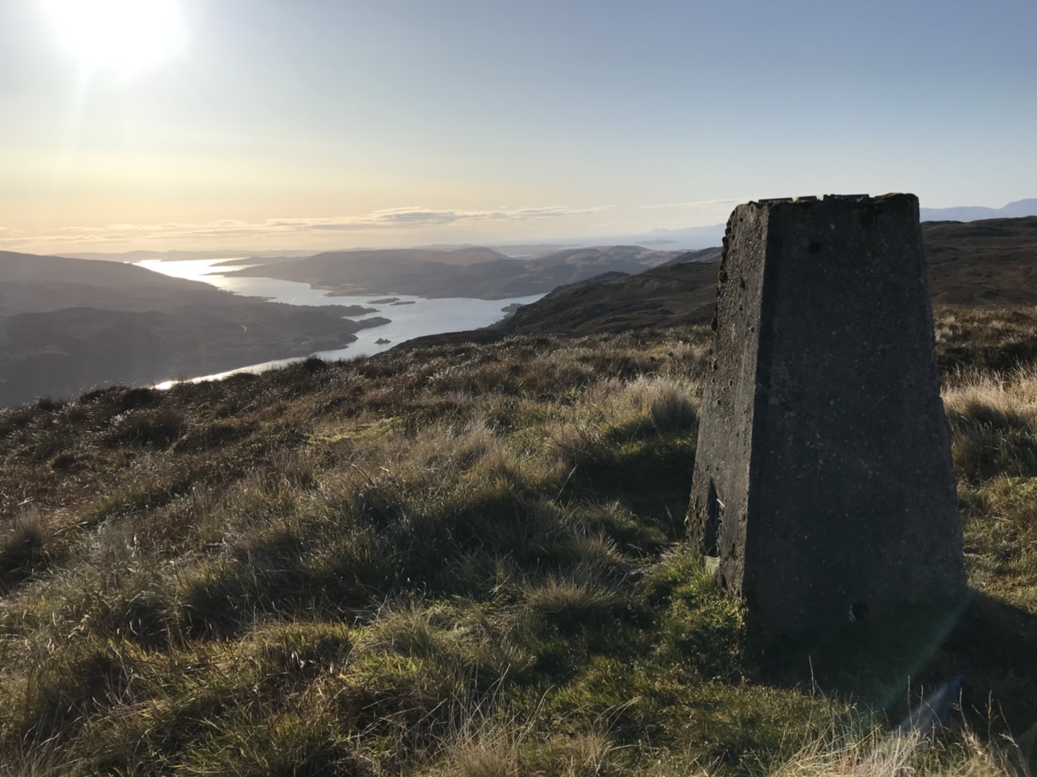
The trig is easily reached, great views on such a clear day.
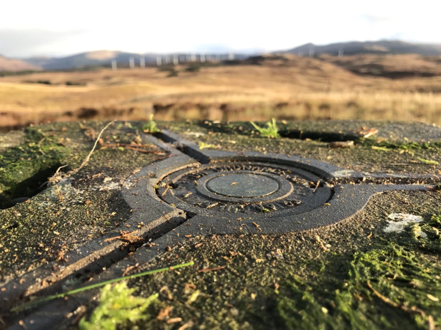
Another great trig and it’s good to put some miles in too.

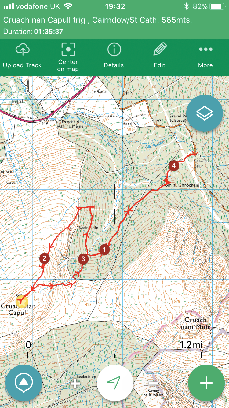
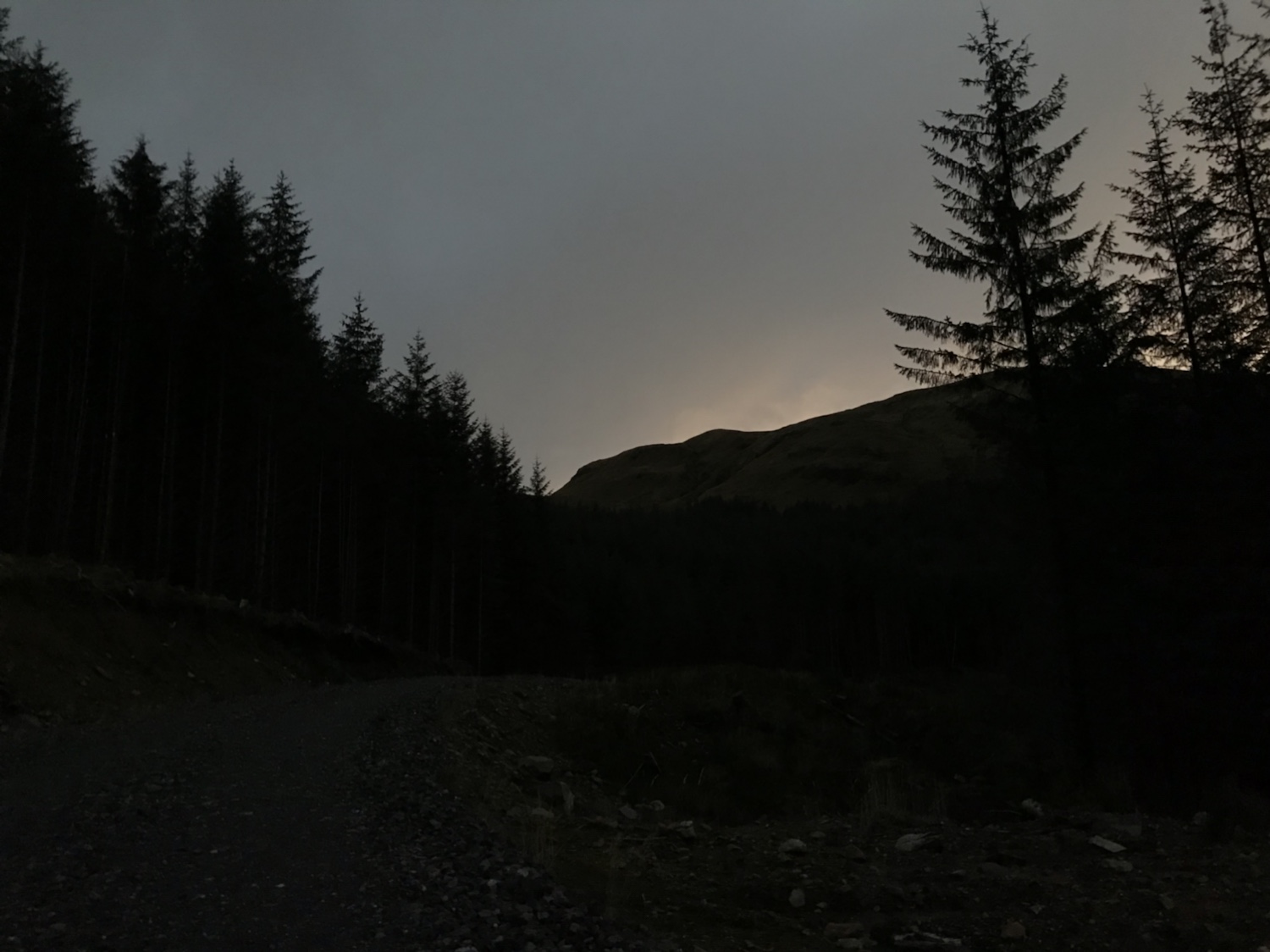
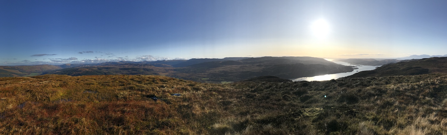
A post work trig prior to the clocks going back at the weekend . A late start at 5pm trying to beat the darkness!
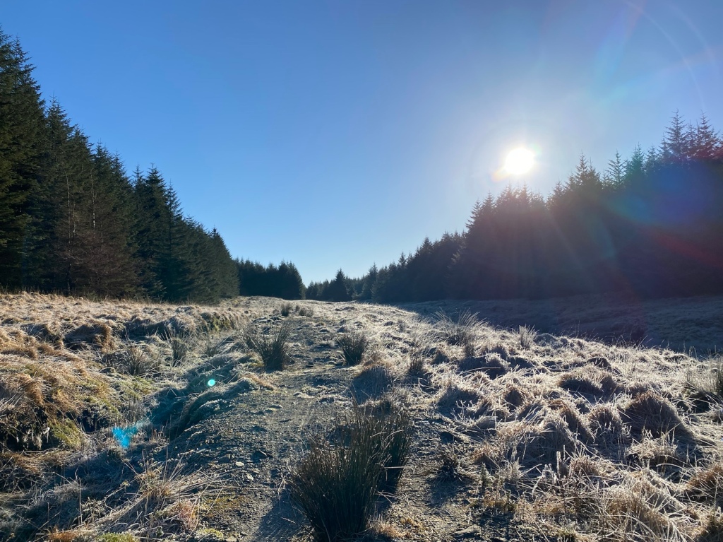
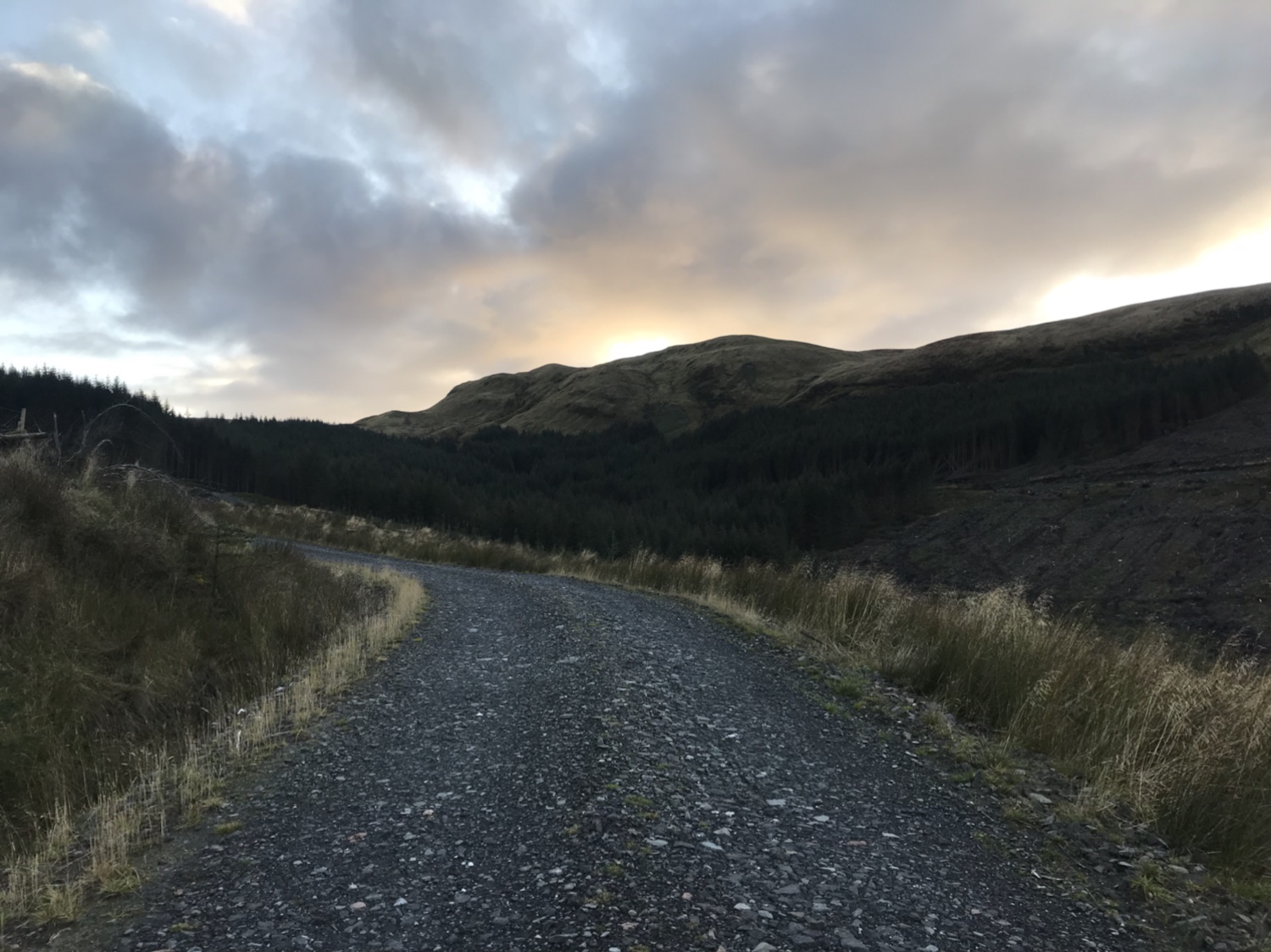
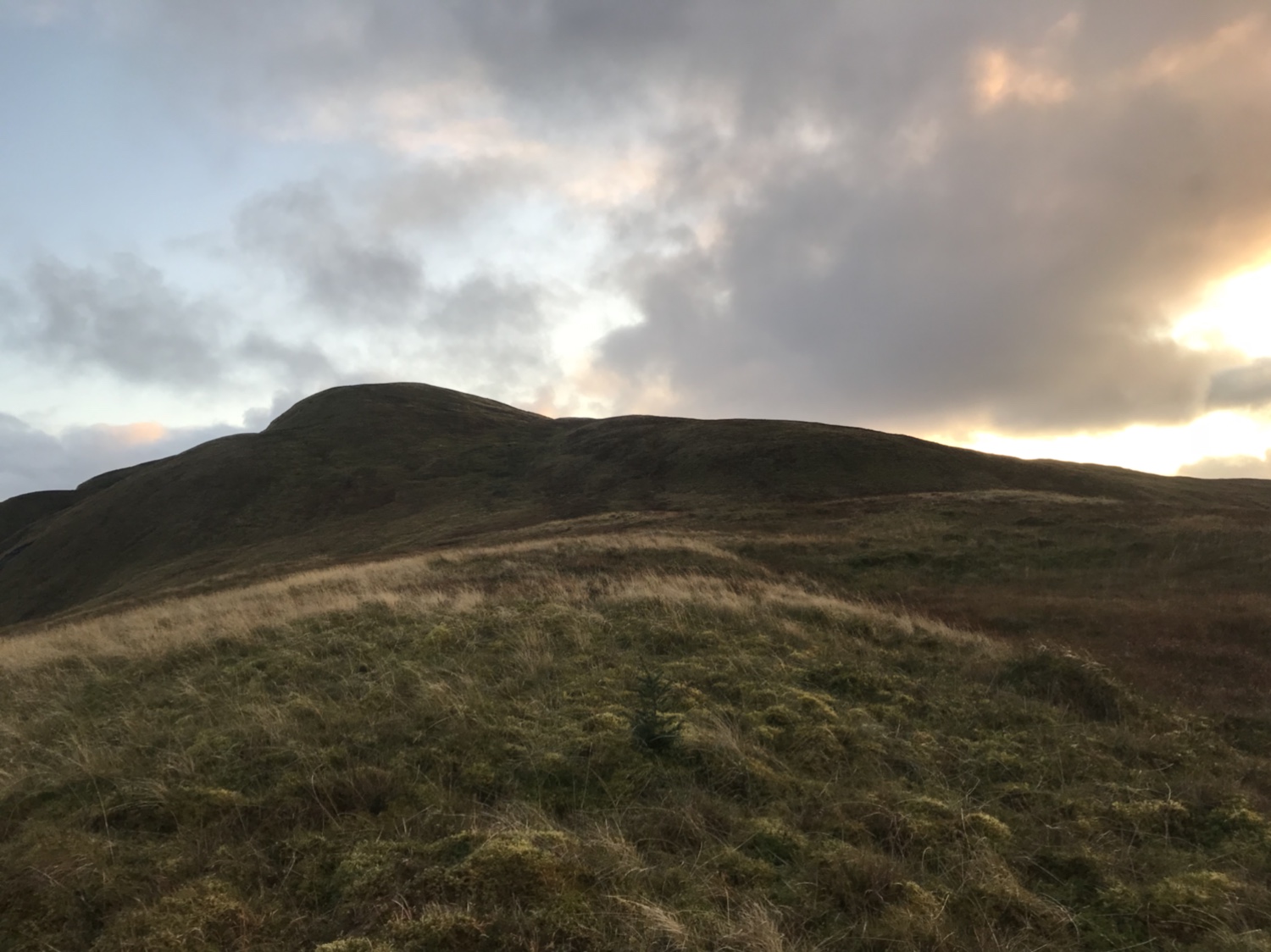
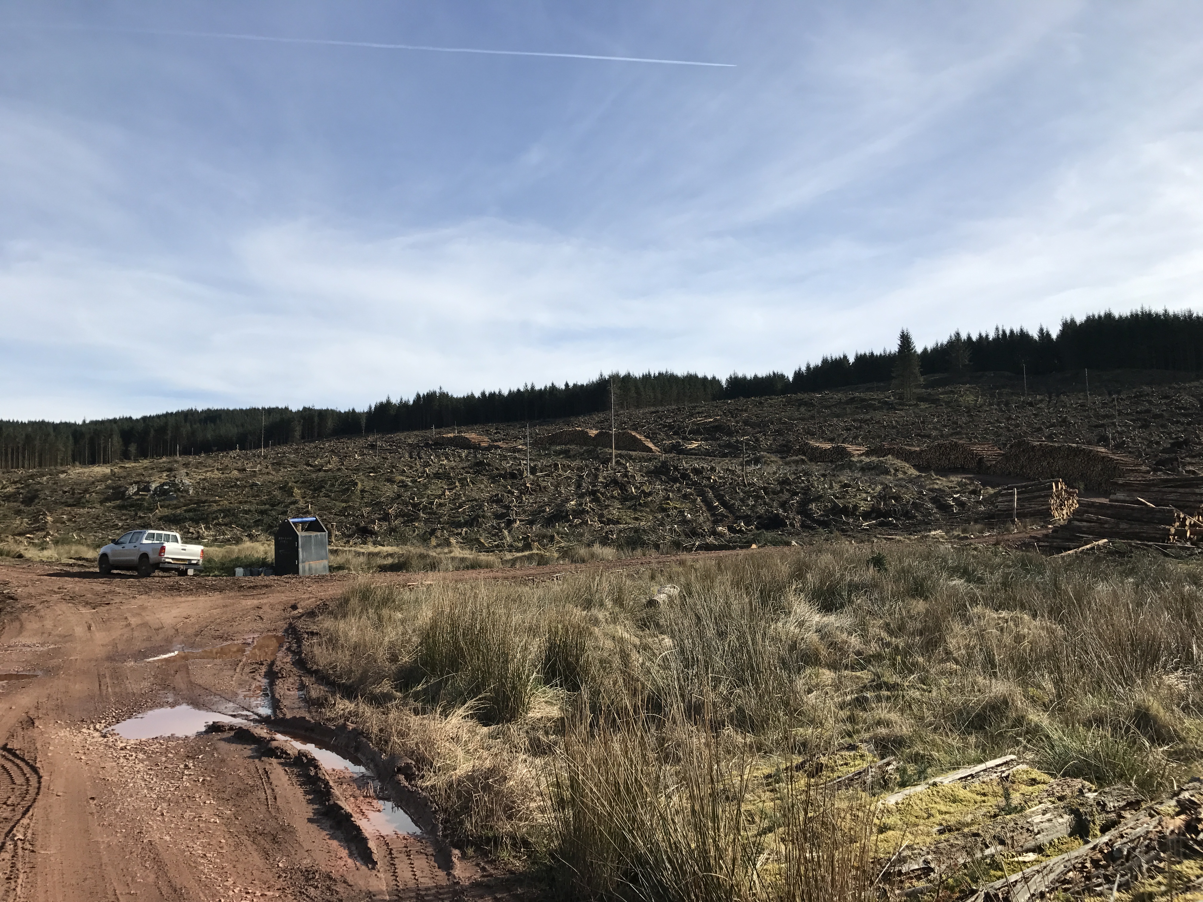
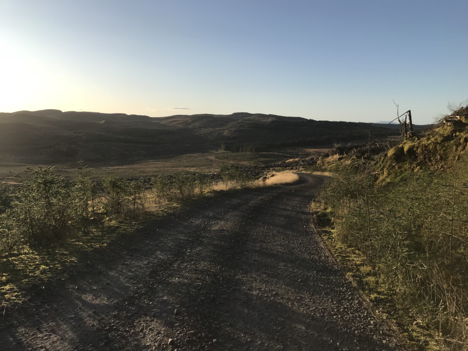
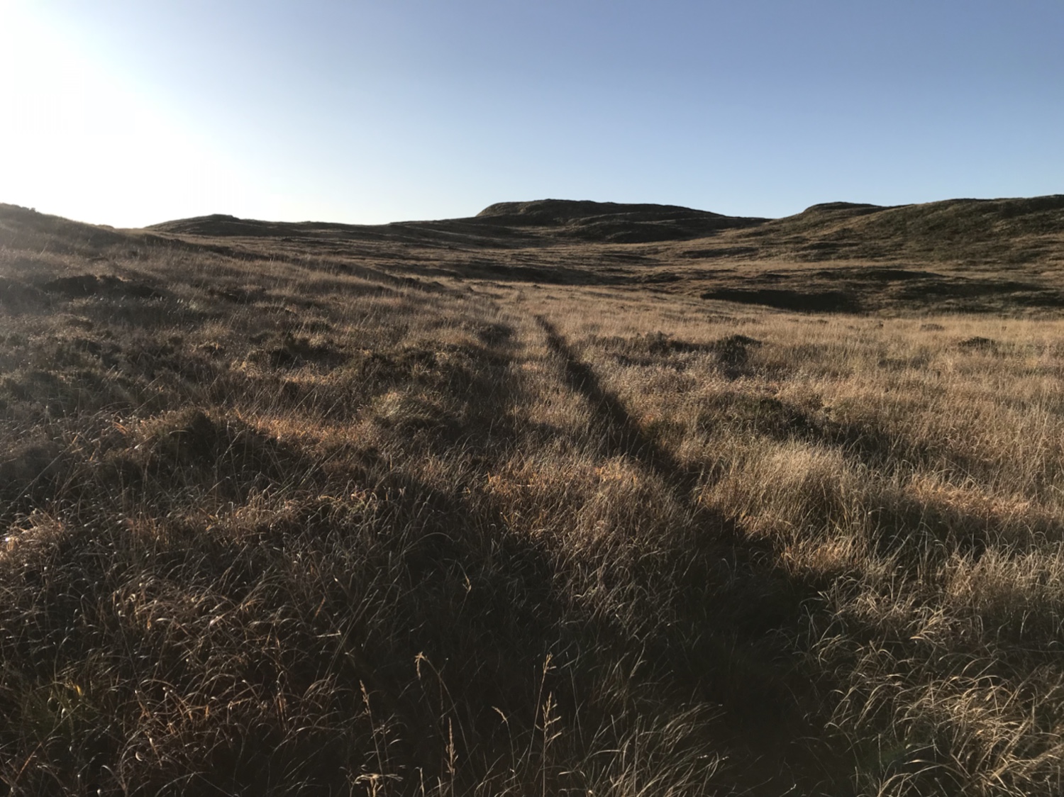
Took the forestry road to its end and picked my way through the recently harvested hillside out onto the open hill
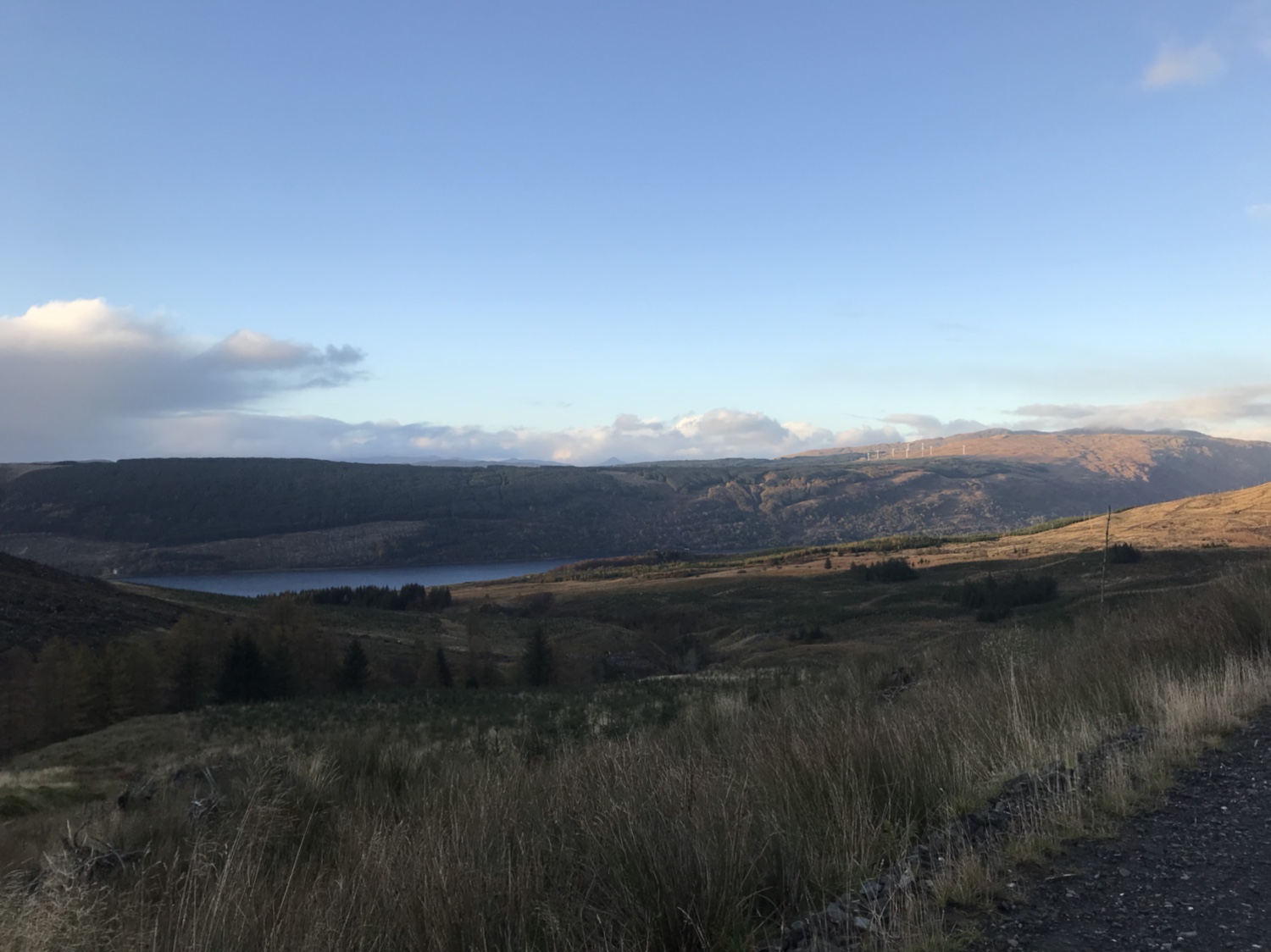
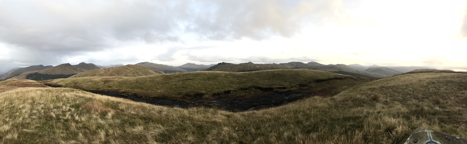
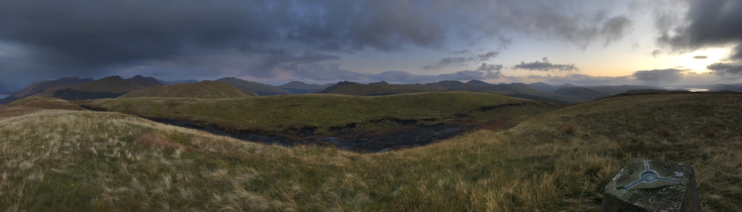
Once on the open hill it’s make your own way, ground conditions not too bad a gradual climb to the summit. Great views this evening.
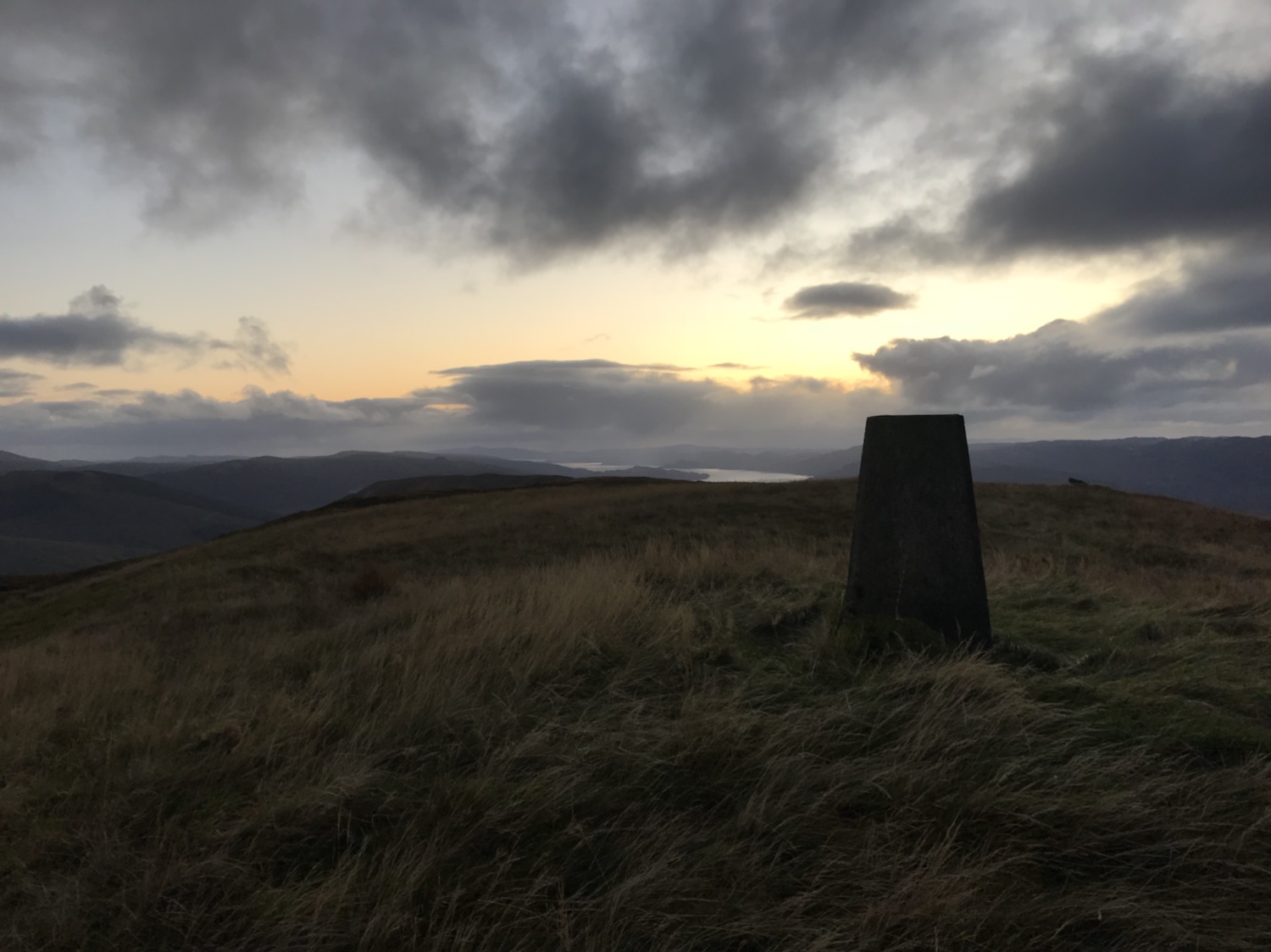
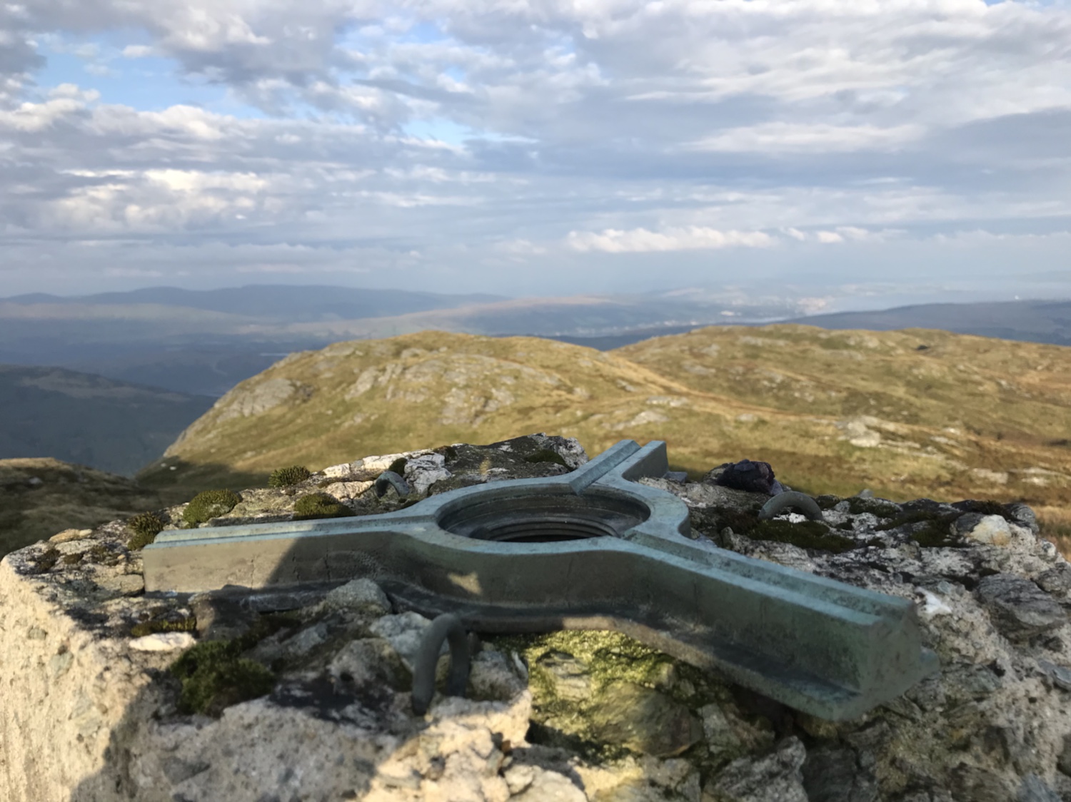
From the trig
Instead of returning on the ascent route I decided to track the burn back to the forestry road. Steep sides but saved some time in the diminishing light.
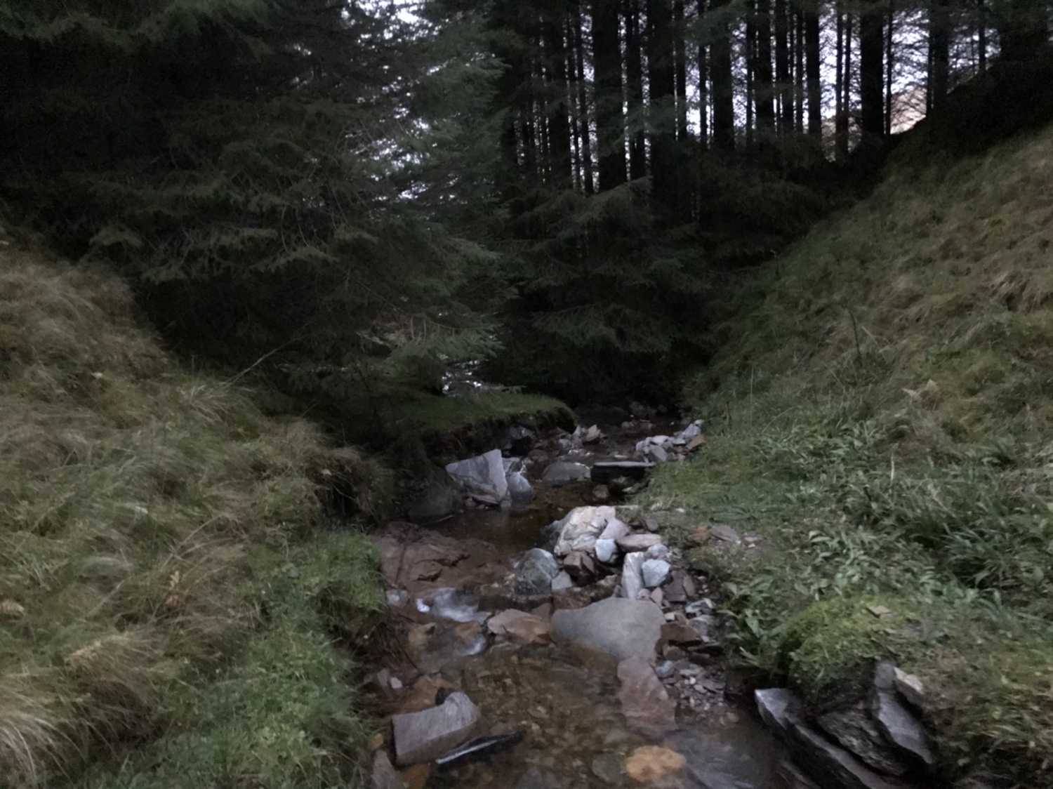
Glad to see the forestry road! Then a stroll back to the car.
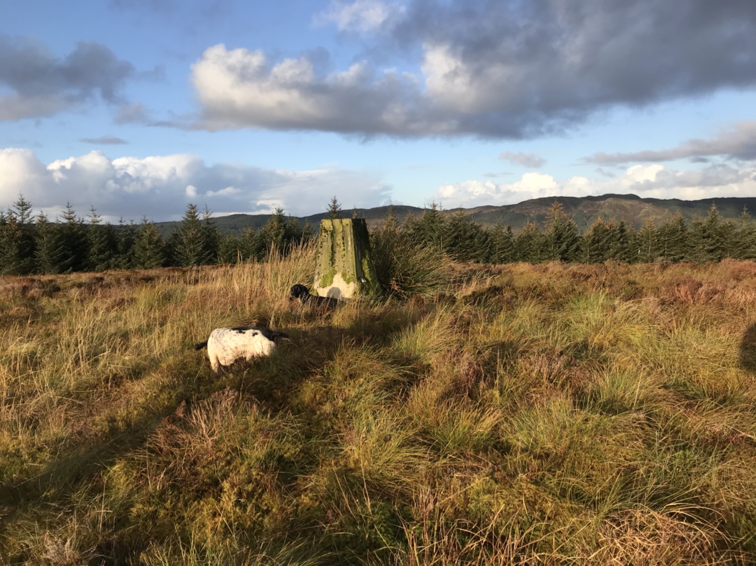
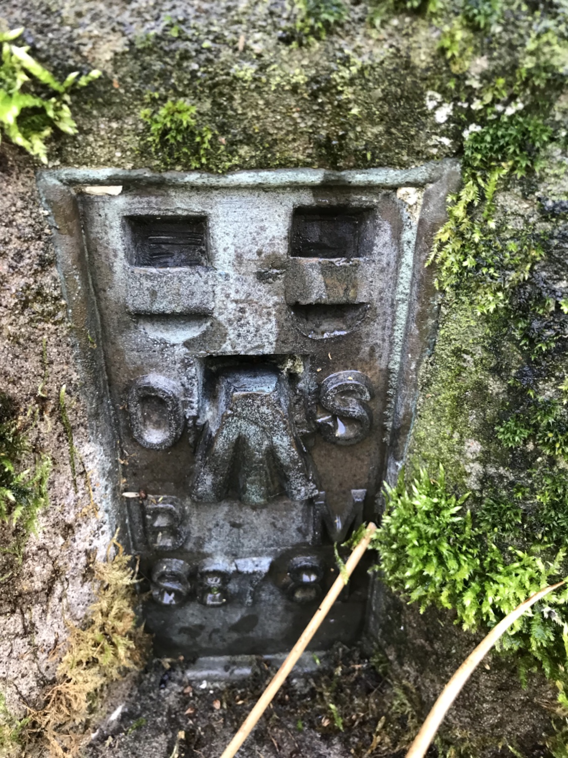
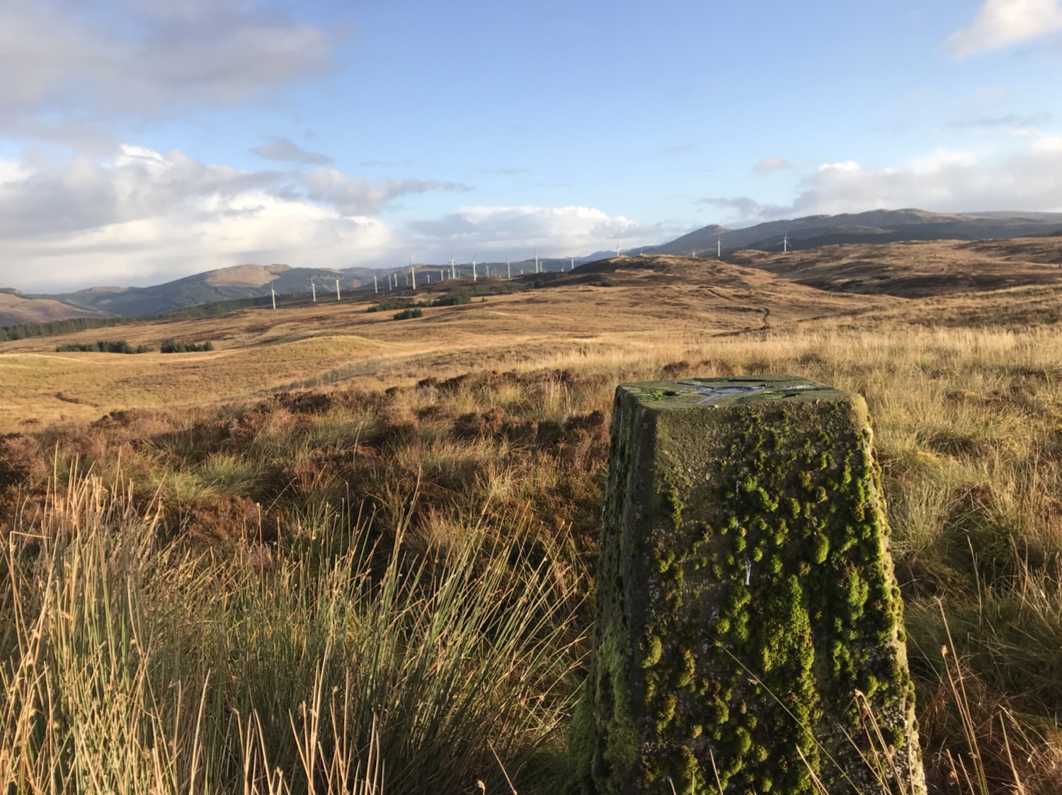
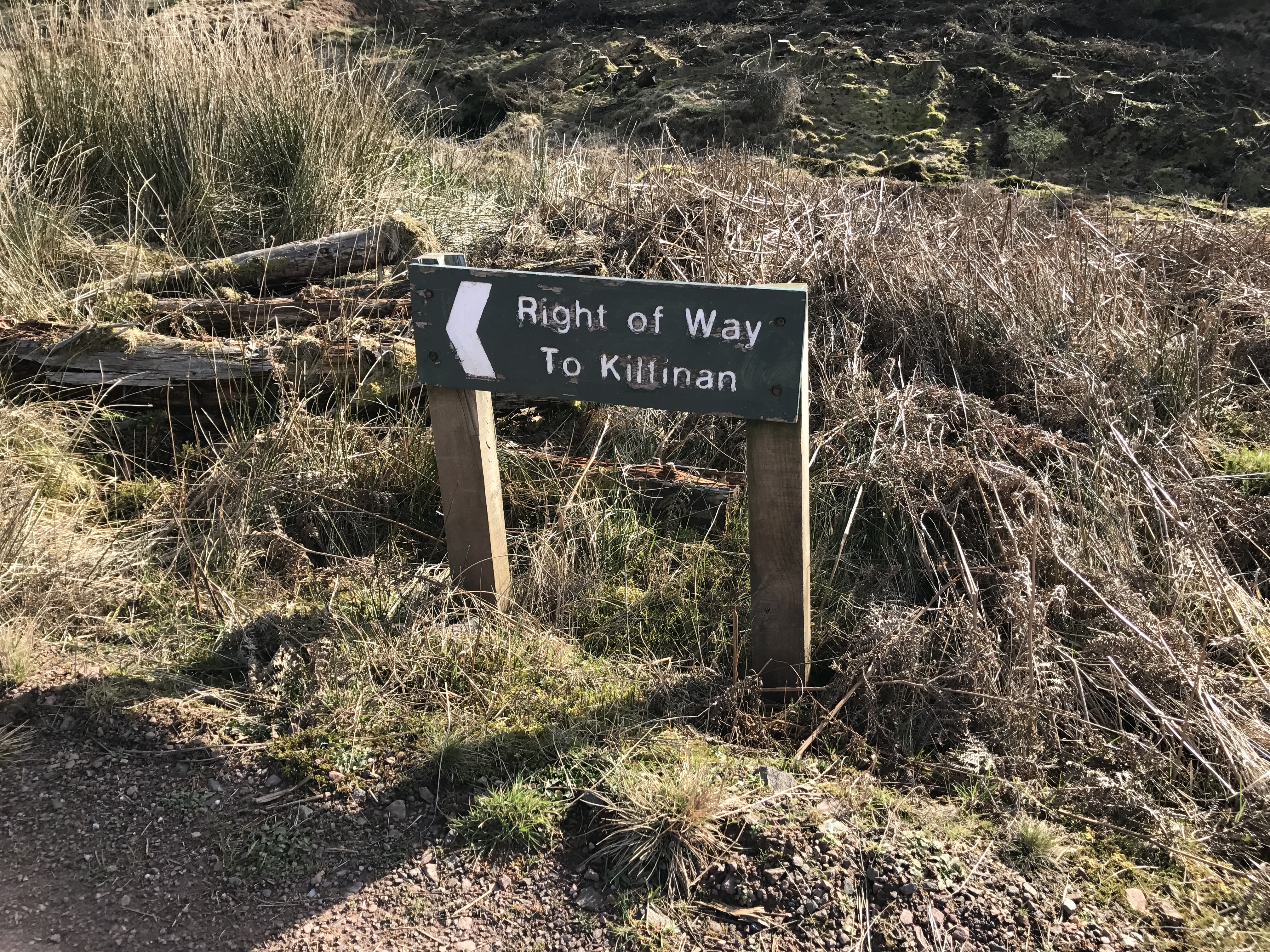
Just found these pics from a trip to Cruch Kilfinan trig point! Better do a wee report!
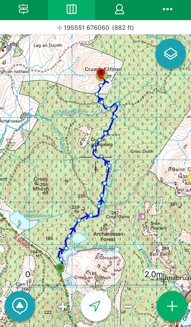
A bike and hike, not convinced this was the easiest route as it included scaling a deer fence!! A good cycle on good forestry road with a short section of open hillside.
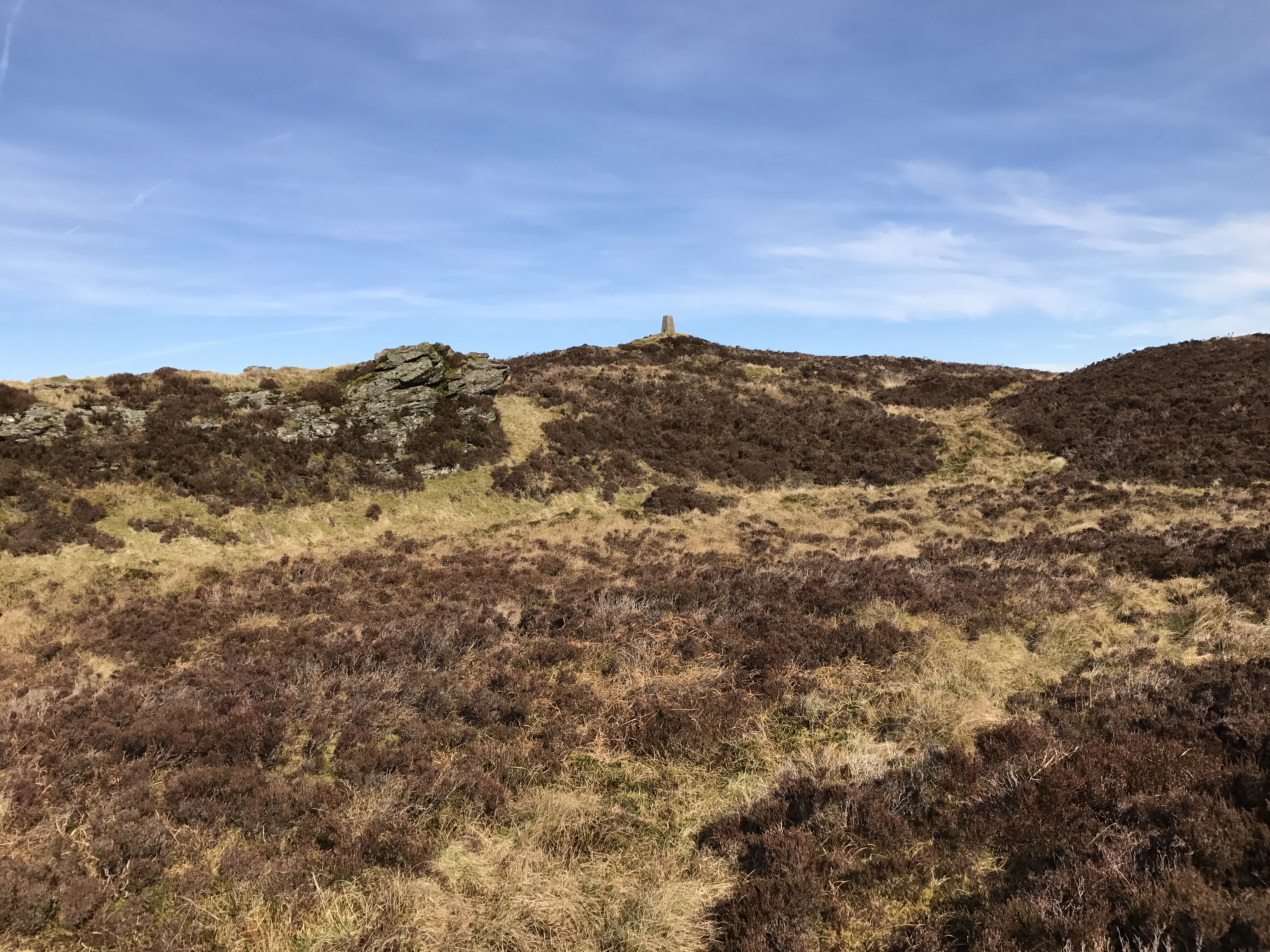
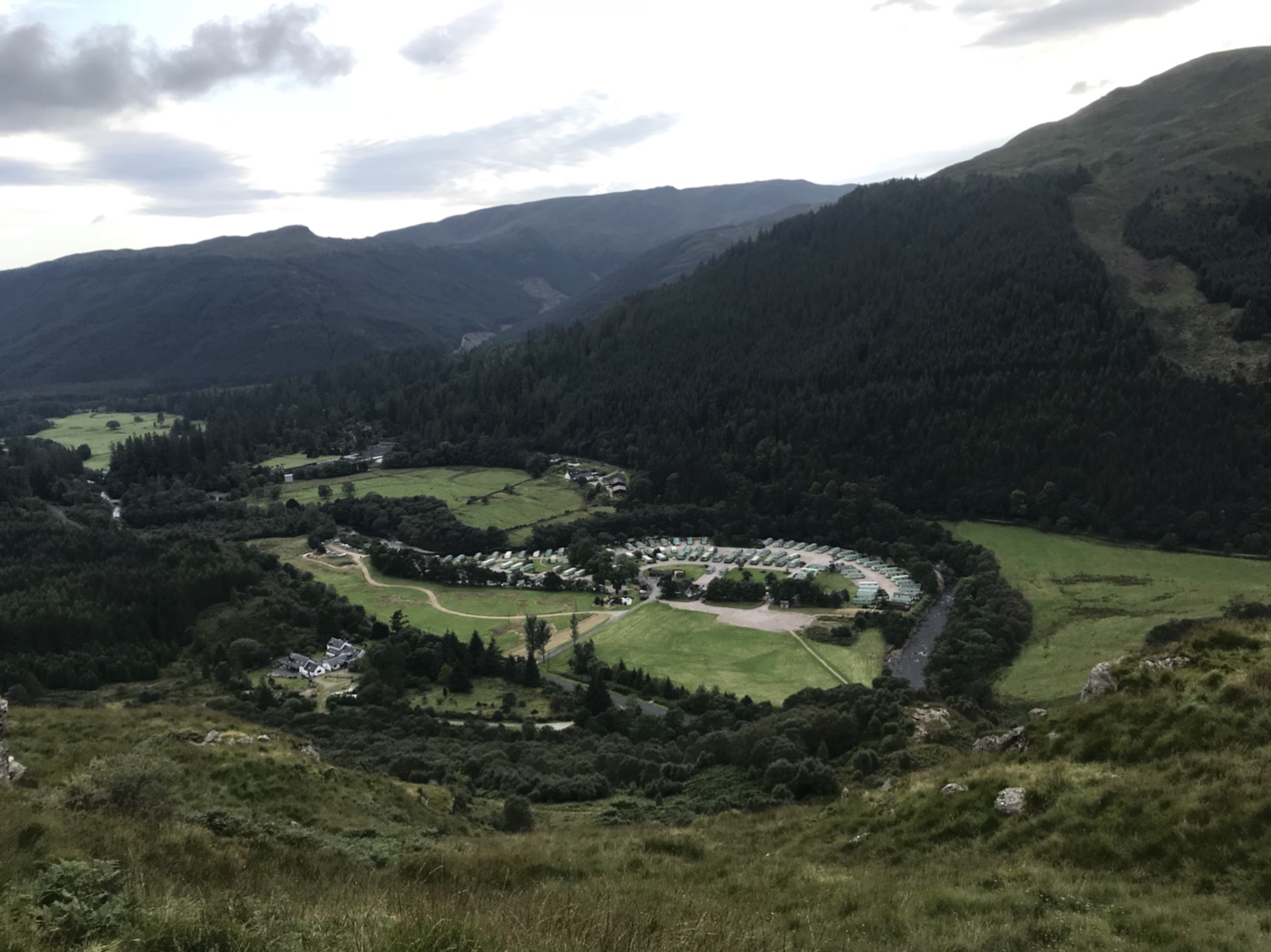
Leaving from Inverchapel Forestry car park a short but initially super steep walk provides stunning views of the surrounding area. Other non defined routes are available!!! 😅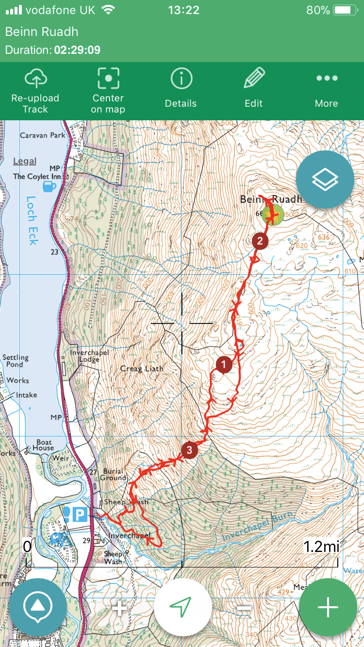

Been here before but have lost any records I had. Great morning to be out on the hill, albeit wet and lumpy underfoot.

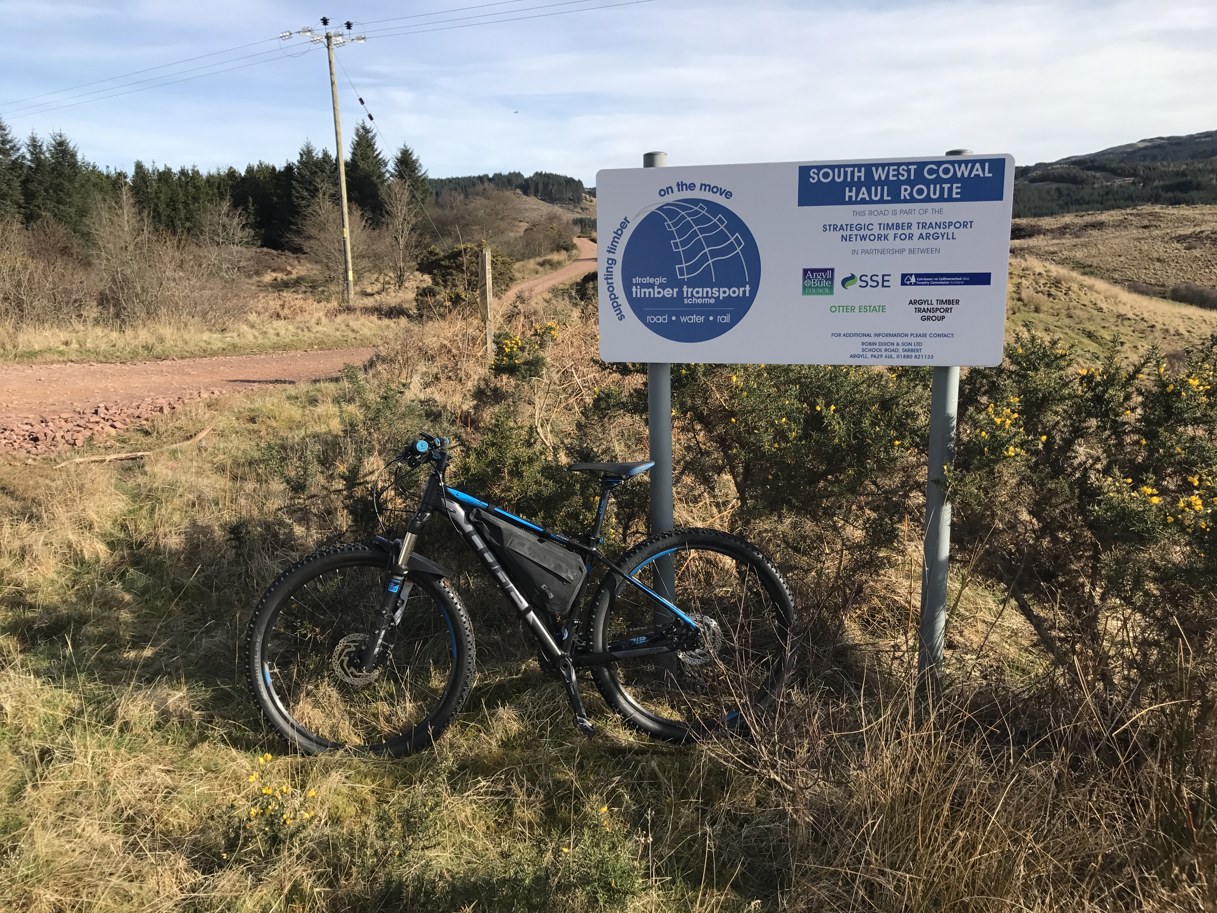
Starting off on the forestry road accessed off the C11 Otter Ferry to Glendaruel road – strangely start point of the road does not correspond with that of the O/S map but soon ties in.
First 1.5 miles on forestry road, then taking an ATV track to the open hill. Pretty much chose your own route navigating round the worst of the soft spots. One non barbed standard height fence to cross.

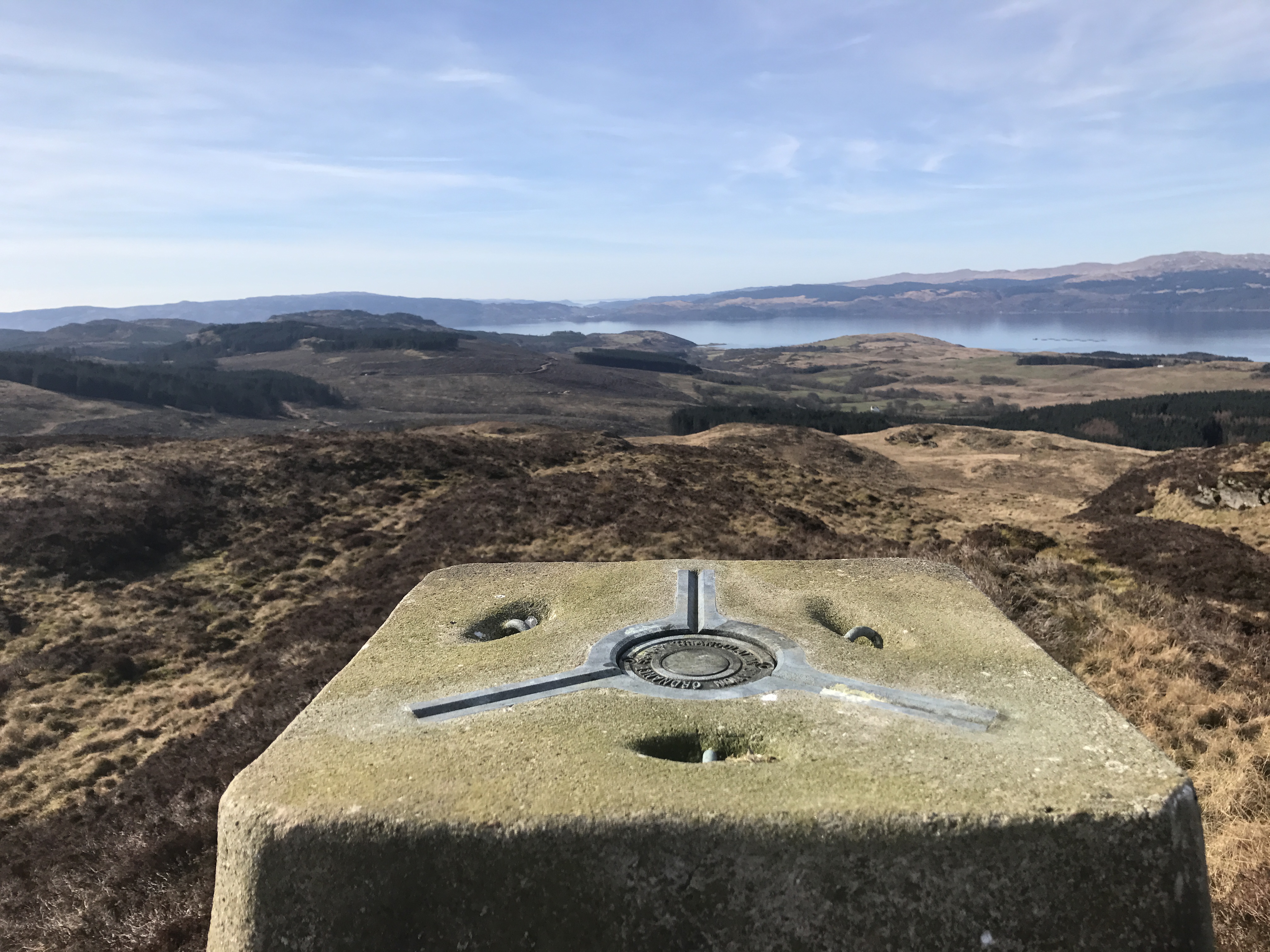
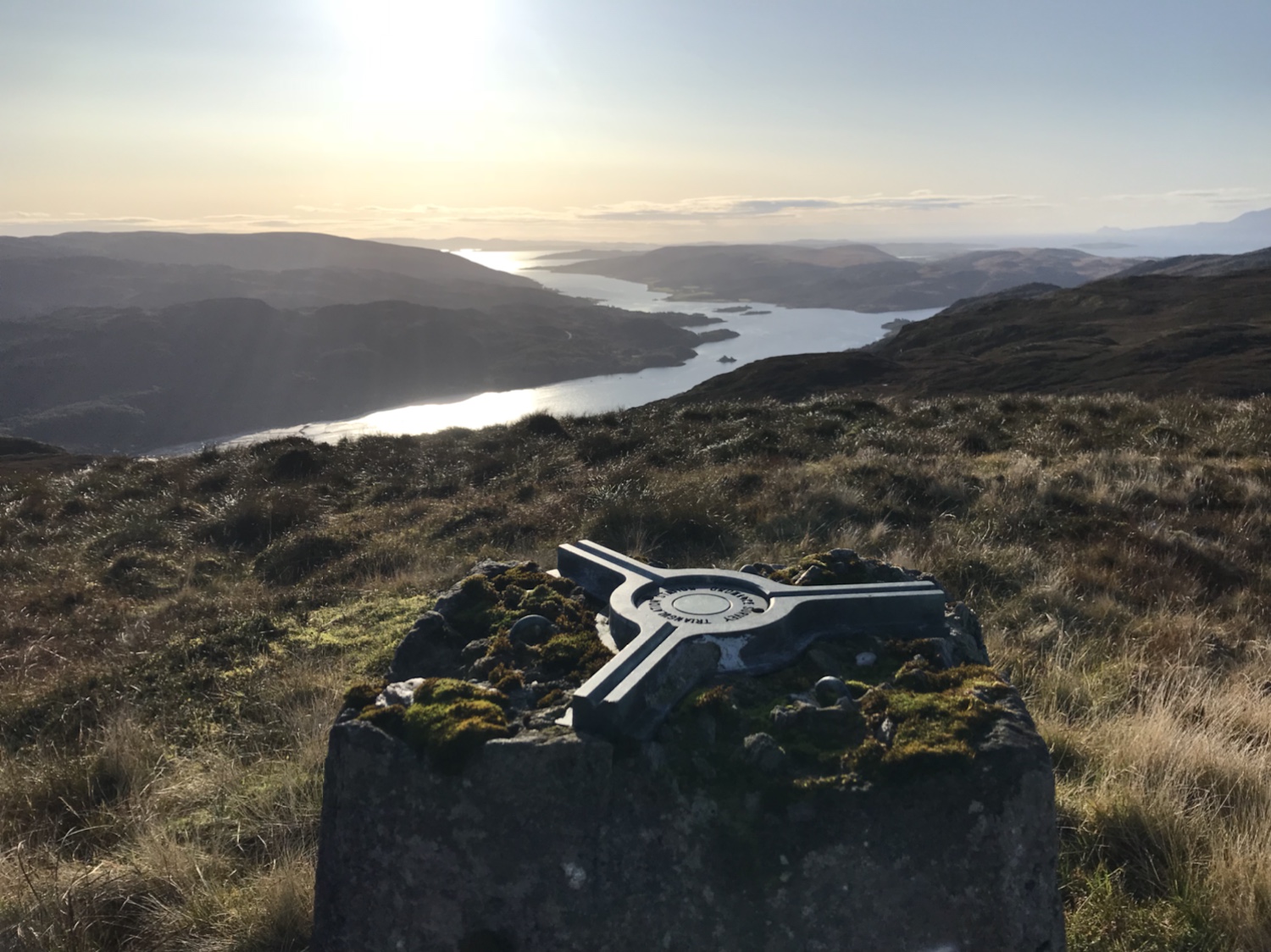
Stunning views over the west of Cowal and beyond from the trig 👍
Loch Riddon and the Kyles of Bute.
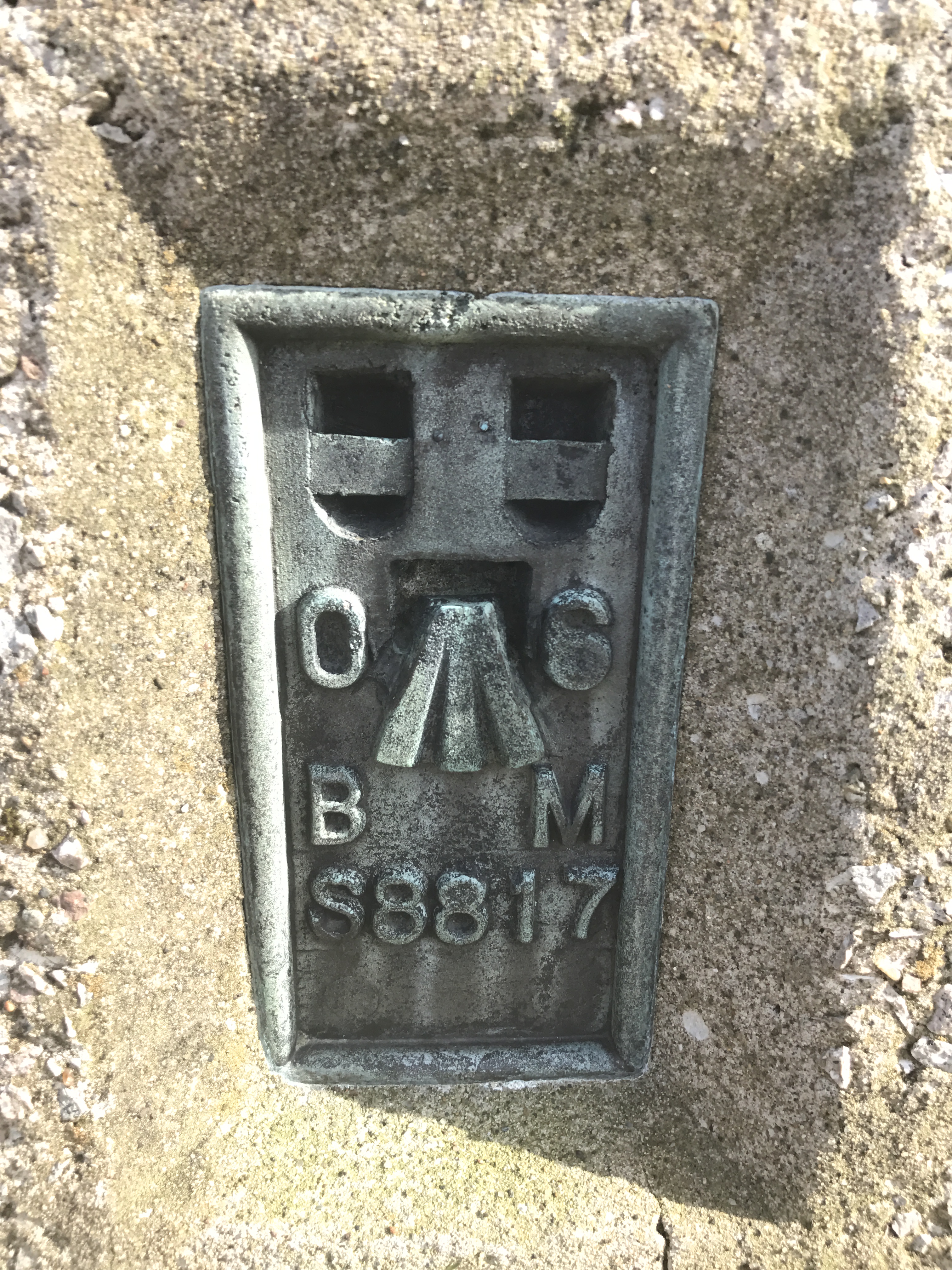
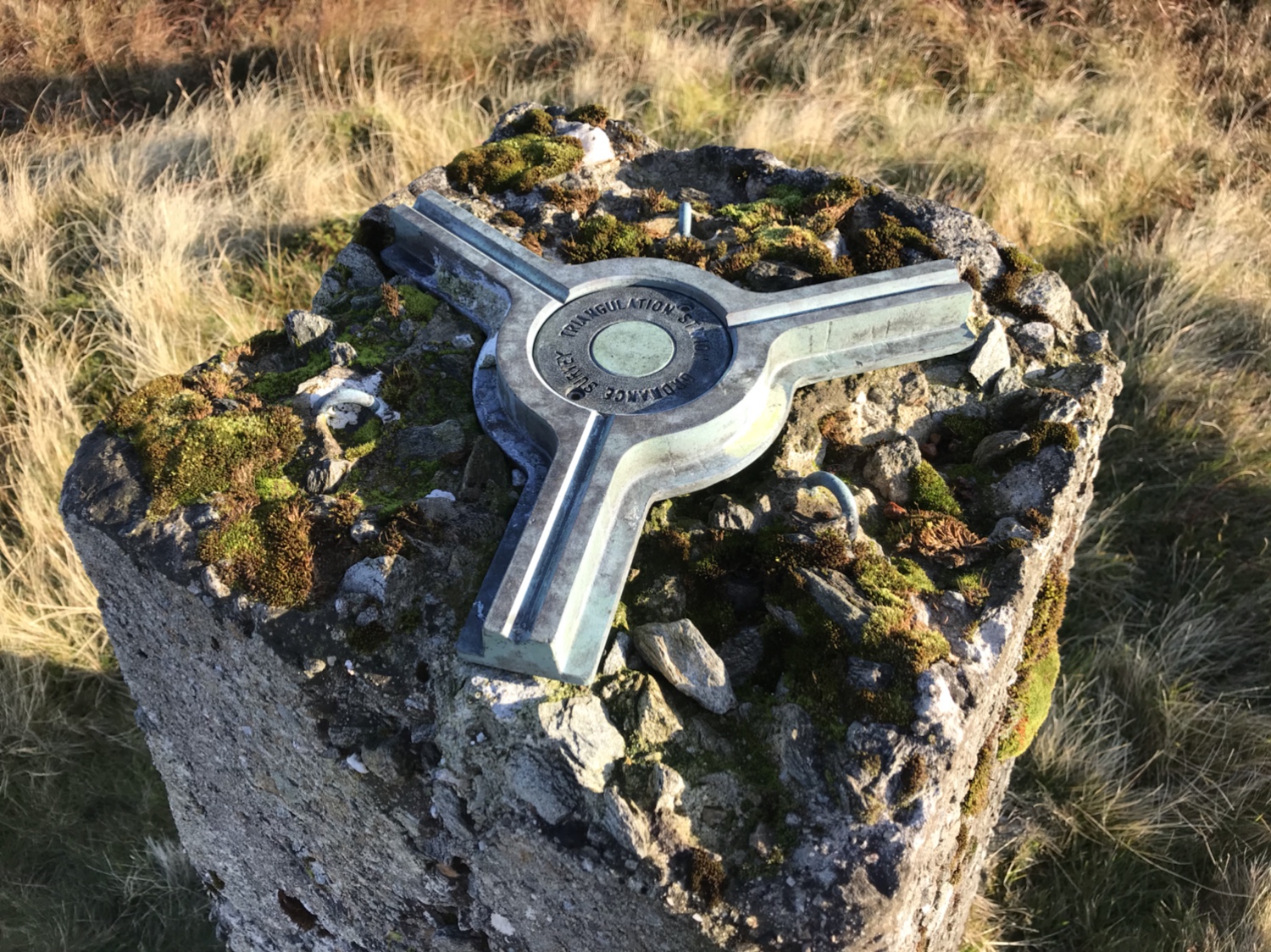
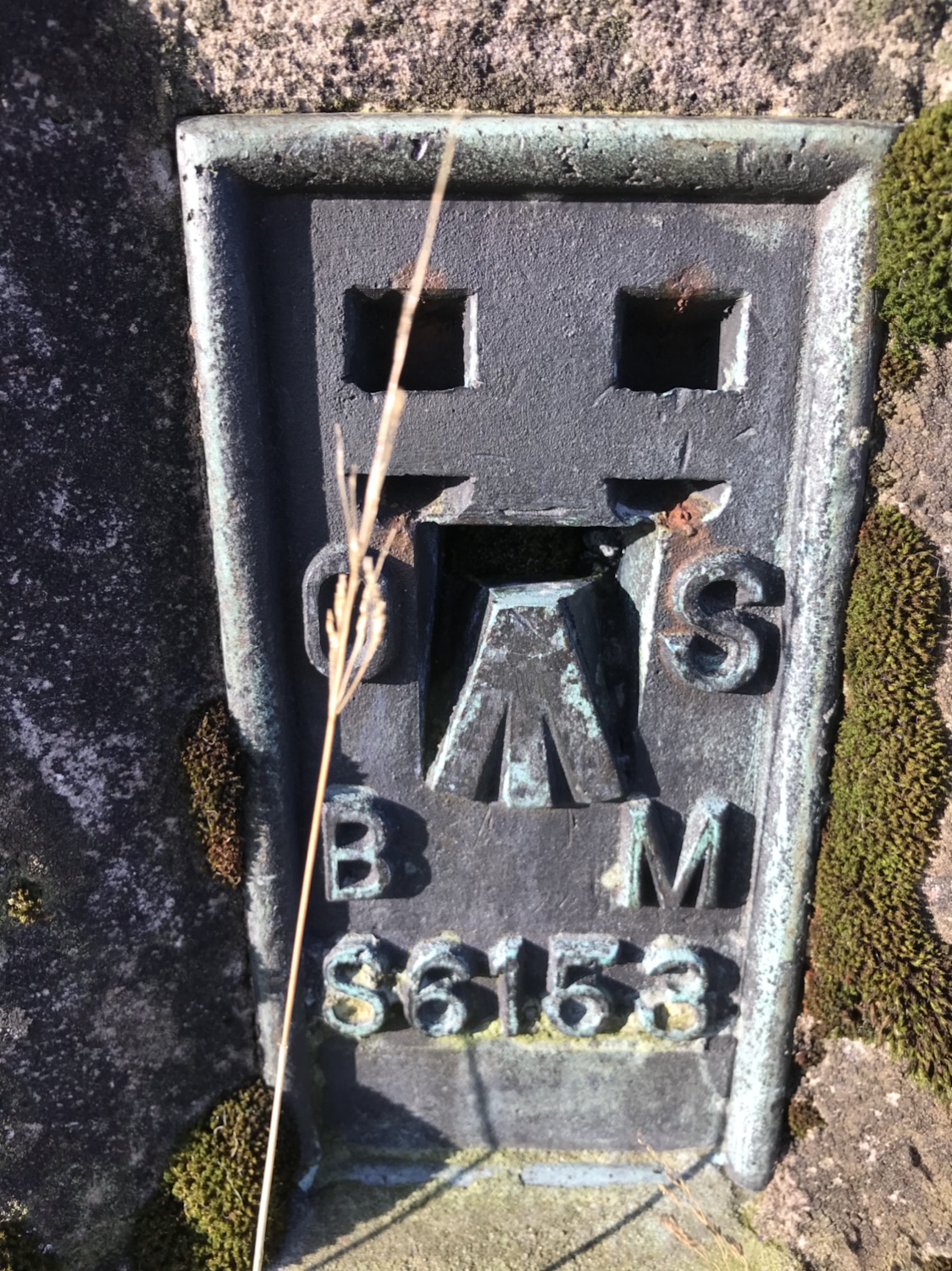
Trig pics…
Another day another Trig. This one situated off the forestry road between Dunoon and Innellan.
The ditch has been piped just south of the quarry giving access to the hill. Following the upper ditch on a path overgrown by reeds, the final stretch on open hill.
Great views to be had. 👍
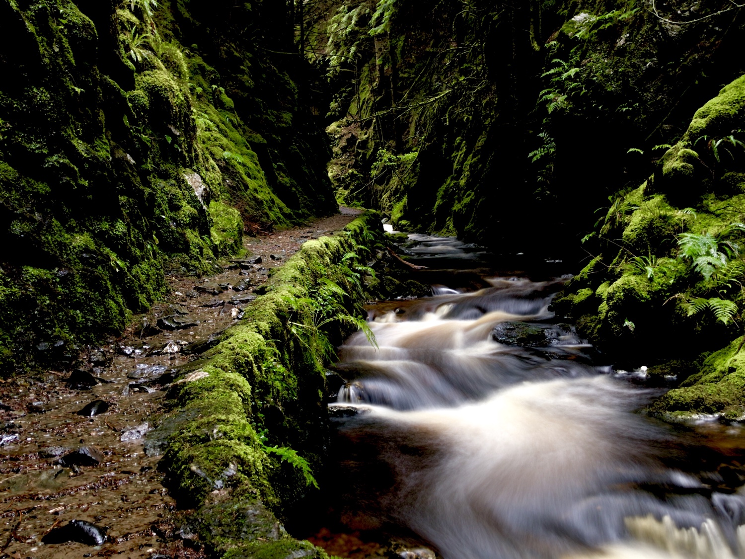
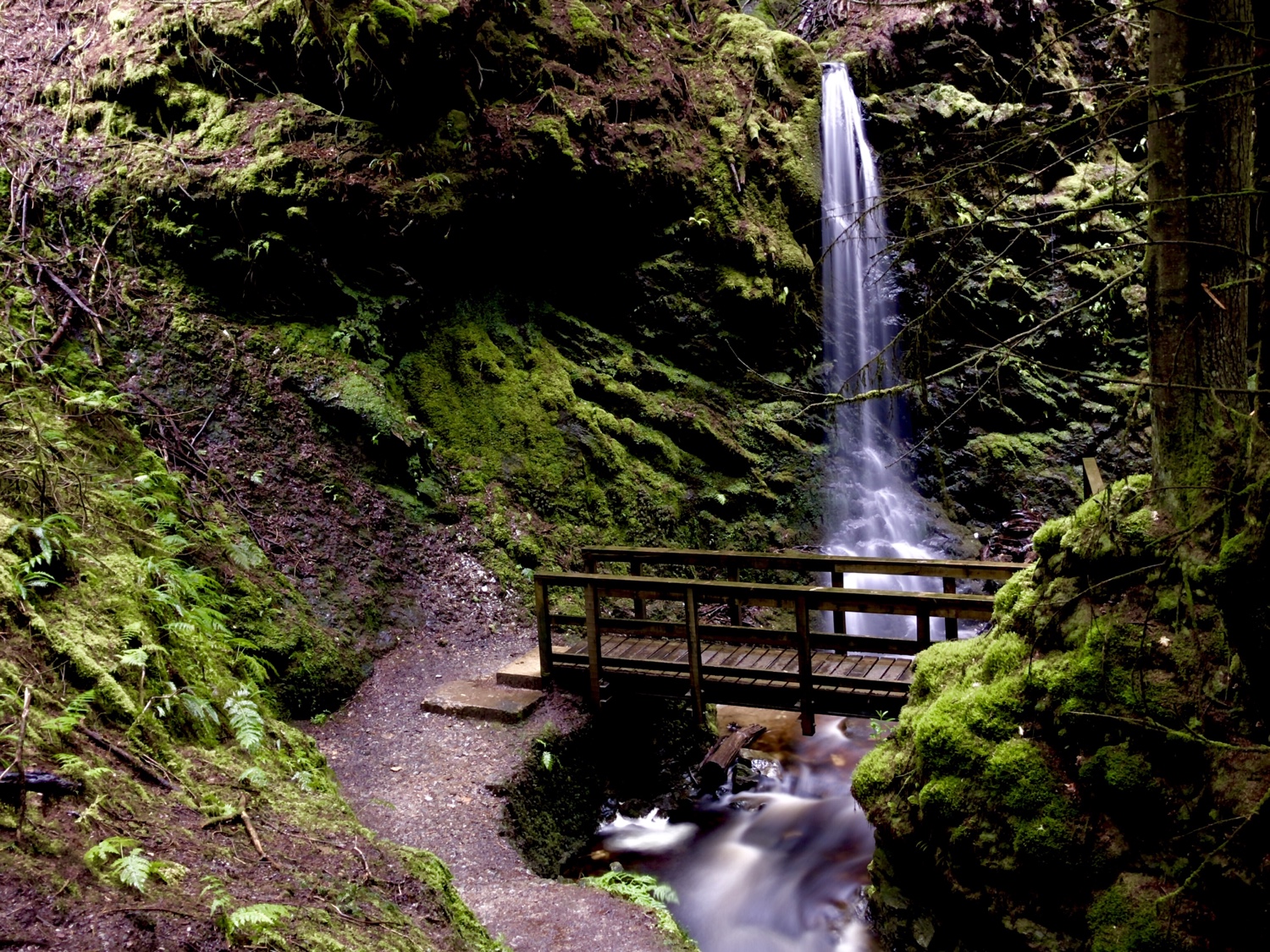
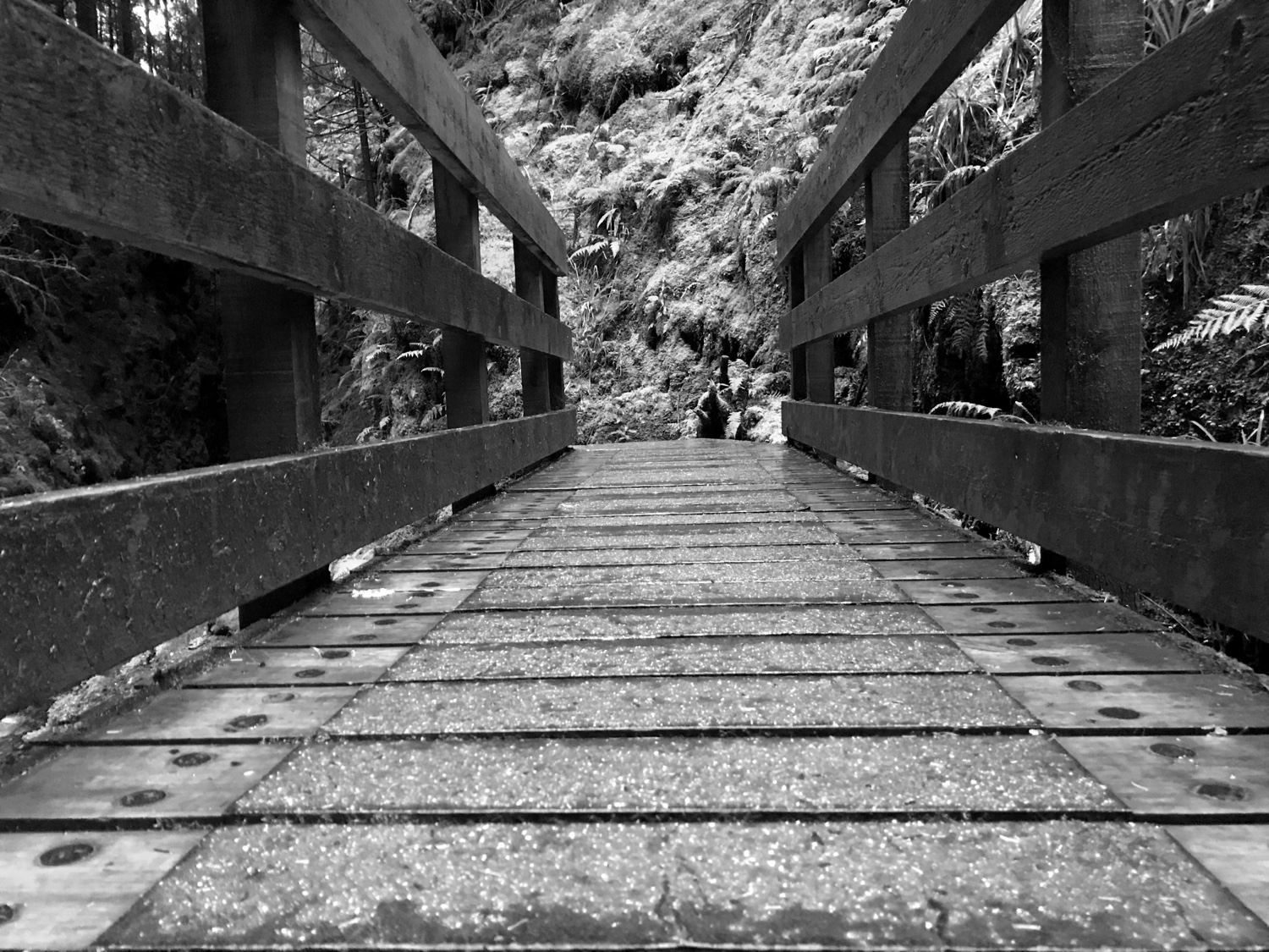
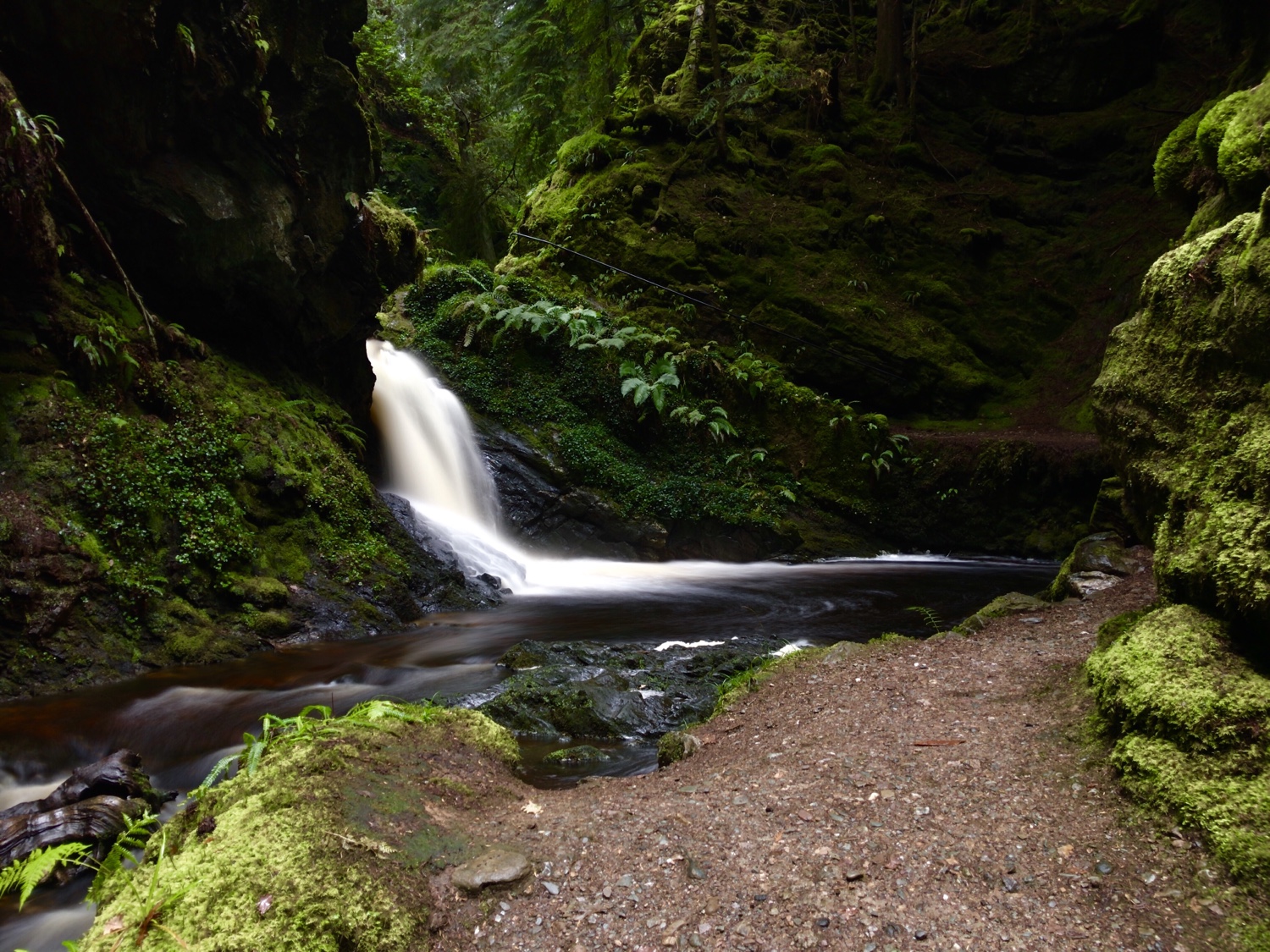
A quick visit to the glen with iPhone and tripod.